Old Maps of Caldwell Township, Michigan for Genealogy
Trace your family roots with 30 historic maps of Caldwell Township. These high-res maps reveal old neighborhoods, homesites, landmarks, and streets — helping you uncover where your ancestors lived and how the area evolved over time.
- Explore historic neighborhoods: Identify where your relatives may have lived in the 1800s or 1900s.
- Compare maps over time: Trace the changes in streets, buildings, and landmarks for multi-generational research.
- Perfect for genealogy & ancestry research: Used by family historians and researchers to map out lineage and migration.
These maps are an incredible resource for exploring your personal connection to Caldwell Township's past.
Caldwell Township, MI maps
(30)- 1954 Map of Traverse City, 1965 Print
 1954 Traverse City1965 Print · USGSNorthern Michigan’s vast lakeshores and timberlands are captured here in the mid-fifties, showing the region before the modern interstate era. Genealogists and researchers can trace rail connections like the Detroit and Mackinac RR or find old communities such as Suttons Bay, Elk Rapids, and Prudenville.4 unique versions available
 - 1956 Map of Cadillac North, 1958 Print
 1956 Cadillac North1958 Print · USGSThe woodlands north of Cadillac were a hub of rail activity and rural settlement in the mid-fifties. Genealogists can trace family roots through numerous country sites like Liberty Cem, Pleasant Lake Chapel, and the vanished lumbering era remnants near Jennings.3 unique versions available
 - 1956 Map of Lake City, 1958 Print
 1956 Lake City1958 Print · USGSMissaukee County in the mid-fifties shows a landscape of growing towns and deep timberlands centered on Lake City. Genealogists can trace family sites at the West Branch Cem and Aetna Cem, or locate the Butterfield Oil Field and the Pennsylvania rail line.3 unique versions available
 - 1958 Map of Traverse City
 1958 Traverse City1958 Print · USGSNorthern Lower Michigan was a landscape of vast state forests and burgeoning lakeside retreats in the late fifties. Genealogists and historians can trace the rail corridors of the Ann Arbor RR and find established settlements from Elk Rapids to Houghton Lake.2 unique versions available
 - 1983 Map of Cadillac, 1984 Print
 1983 Cadillac1984 Print · USGSThe Cadillac region in the early eighties was defined by its vast public forests and the prominent dual lakes at its center. Trace the legacies of the timber era along the Old Railroad Grade or locate old rural centers like Vogel Center and Harrietta.
 - 1983 Map of Lake City, 1984 Print
 1983 Lake City1984 Print · USGSMissaukee County’s lakeside character is on full display in the early eighties as the town of Lake City expands along Lake Missaukee. Genealogists and local historians can locate community landmarks like St Johns Ch, the Home Acres Airport, and family-named routes such as Walenjus Road.
 - 1983 Map of Morey, 1984 Print
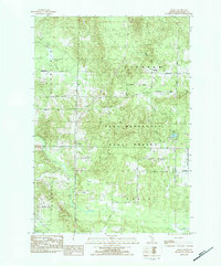 1983 Morey1984 Print · USGSMissaukee County's wooded interior and small rural settlements are captured here in the early 1980s as the state forest system expanded. Genealogists can locate family landmarks like Morey Ch and trace the original township footprints of Bloomfield and Pioneer.
 - 1983 Map of Jennings, 1984 Print
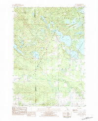 1983 Jennings1984 Print · USGSJennings and the surrounding state forest are captured here in the early eighties, showcasing a region defined by its numerous lakes and timber heritage. Genealogists can locate both the Old Jennings Cem and New Jennings Cem, while history buffs can trace the path of the Lake City Railway.
 - 1983 Map of Arlene, 1984 Print
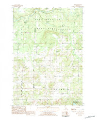 1983 Arlene1984 Print · USGSMissaukee and Wexford counties are shown here in the early 1980s, where the state forest meets rural township life. Genealogists and local historians can locate Caldwell Ch, the Bloomfield Cemetery, and the riverfront Whip-Poor-Will Landing Strip.
 - 1989 Map of Traverse City, 1990 Print
 1989 Traverse City1990 Print · USGSNorthern Michigan’s lake-country and forest lands are captured in the late eighties as seasonal tourism and timber hubs expanded. Genealogists and historians can trace the routes of the Ann Arbor RR, the boundaries of Camp Grayling, and settlements like Elk Rapids and Manton.
 - 2011 Map of Jennings, 2011 Print
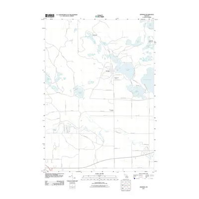 2011 Jennings2011 Print · USGSThe lakeside settlement of Jennings and the surrounding woods are documented here during the early twenty-first century. Genealogists and local historians can trace family ties at the Old Jennings Cemetery or follow the path of the Old RR through the marshy terrain.
 - 2011 Map of Lake City, 2011 Print
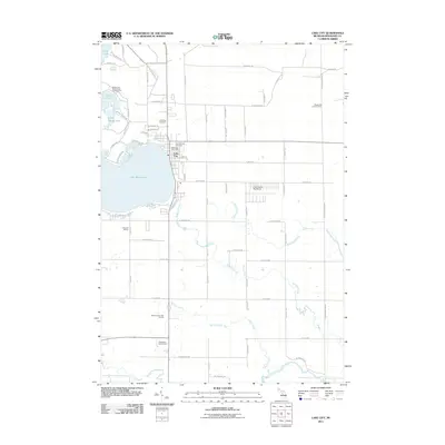 2011 Lake City2011 Print · USGSLake City and the shores of Lake Missaukee are shown here in the early twenty-first century, a landscape defined by northern Michigan’s lakes, forests, and creek systems. Genealogists and local historians can locate the Old Lake City Cemetery, the Lake City Post Office, and the wooded trails around Goose Lake State Forest Campground.
 - 2011 Map of Arlene, 2011 Print
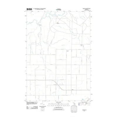 2011 Arlene2011 Print · USGSMissaukee County's rural character and river valleys are captured here in the early 21st century. Genealogists and local historians can locate Caldwell Cemetery, Bloomfield Cemetery, and the Pleasant Hill School among the tributaries of the Manistee River.
 - 2011 Map of Morey, 2011 Print
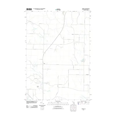 2011 Morey2011 Print · USGSMissaukee County's rural heartland is captured here in the early twenty-first century, showing the established settlements of Pioneer and Morey. Local historians can trace family land along N Morey Rd or locate recreation sites like the Missaukee Mountain Ski Area and Loon Lake.
 - 2014 Map of Jennings, 2014 Print
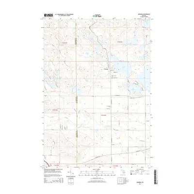 2014 Jennings2014 Print · USGSThe Jennings area on the Wexford-Missaukee county line is shown here as a lake-rich landscape during the early twenty-first century. Researchers can trace the legacy of local transport along Old RR Rd or locate family sites at Old Jennings Cem and New Jennings Cem.
 - 2014 Map of Arlene, 2014 Print
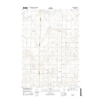 2014 Arlene2014 Print · USGSMissaukee and Wexford counties are captured here in the early twenty-first century as a landscape of structured farmland and quiet river bends. Genealogists and local researchers can locate family sites near Arlene or trace historical burials at Bloomfield Cem and Caldwell Cem.
 - 2014 Map of Lake City, 2014 Print
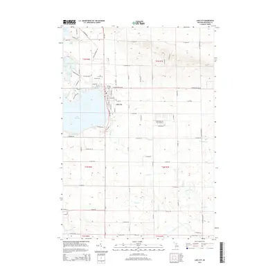 2014 Lake City2014 Print · USGSLake City sits along the eastern edge of the water in the twenty-tens, surrounded by the creeks and wetlands of central Michigan. Genealogists and local historians can locate the Lake City Cem, the Old Lake City Cem, and the Home Acres Sky Ranch Airport.
 - 2014 Map of Morey, 2014 Print
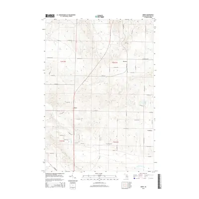 2014 Morey2014 Print · USGSMissaukee County's rural townships are shown here in the mid-2010s, defined by the small settlements of Pioneer and Morey. Genealogists and local historians can trace the landscape around Ham Creek Spring and the Missaukee Hills.
 - 2017 Map of Jennings, 2017 Print
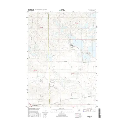 2017 Jennings2017 Print · USGSThe lakeside community of Jennings and northern Cadillac are captured here in the late twenty-teens as they straddle the Missaukee and Wexford county line. Genealogists and researchers can pinpoint the New Jennings Cemetery, the Old Jennings Cemetery, and the path of the Shore to Shore Trail.
 - 2017 Map of Arlene, 2017 Print
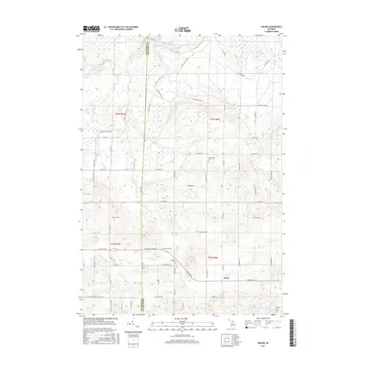 2017 Arlene2017 Print · USGSMissaukee and Wexford Counties are captured here during the late 2010s, showing the rural crossroads of Arlene and the Manistee River. Genealogists and hikers can trace the Shore to Shore Trail and locate family history at Caldwell Cemetery or Bloomfield Cemetery.
 - 2017 Map of Lake City, 2017 Print
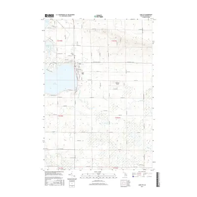 2017 Lake City2017 Print · USGSLake City and the shores of Lake Missaukee are captured here in the mid-2010s, showcasing a mix of lakeside settlement and wetland terrain. Genealogists can locate both the Lake City Cem and Old Lake City Cem, while others may trace the paths of Mosquito Cr and the Clam River.
 - 2017 Map of Morey, 2017 Print
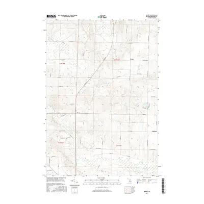 2017 Morey2017 Print · USGSMissaukee County's rural townships are documented here during the late twenty-teens as traditional farming grids adapt to modern residential growth. Genealogists can trace family connections through the settlements of Pioneer, Morey, and Cutcheon, or locate landmarks like Ham Creek Spring and Loon Lake.
 - 2019 Map of Arlene, 2019 Print
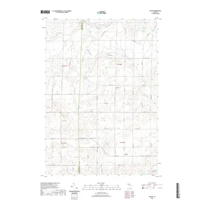 2019 Arlene2019 Print · USGSMissaukee and Wexford counties are captured here in the late 2010s, showing the rural crossroads and river systems of northern Michigan. Genealogists can locate family landmarks like Caldwell Cem and Bloomfield Cem or trace the path of the Shore to Shore Trail.
 - 2019 Map of Jennings, 2019 Print
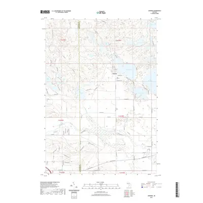 2019 Jennings2019 Print · USGSThe lakeside communities of Wexford and Missaukee counties are captured here in the late twenty-teens, showing a landscape defined by glacial lakes and forest trails. Researchers can trace local lineage at Old Jennings Cem or follow the path of the Old RR Grade and the Shore to Shore Trail.
 - 2019 Map of Morey, 2019 Print
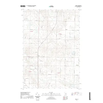 2019 Morey2019 Print · USGSMissaukee County's rural townships are documented here during the late 2010s, showing a landscape of headwater creeks and pioneer-era settlements. Genealogists and local historians can trace family locations near Pioneer Cem, Morey, and the waters of Loon Lake.
Showing maps 1-25 of 30
Top cities near Caldwell Township
- Cadillac historical maps
- Paradise Township historical maps
- Haring Township historical maps
- Haring Charter Township historical maps
- Fife Lake Township historical maps
- Manton historical maps
See more
Top neighborhoods of Caldwell Township
Frequently asked questions
- What are the different types of historical maps available for Caldwell Township?
- What is the oldest map of Caldwell Township?
- Where can I purchase historical maps of Caldwell Township for my home or office?
- Where can I download high-res historical maps of Caldwell Township?
- Are there historical topographic maps available for Caldwell Township?
- Is there historical aerial imagery available for Caldwell Township?
- Where are historical maps of Caldwell Township sourced from?