2000s (21st Century) Maps of Evergreen Township, Michigan
Explore 20 historic maps of Evergreen Township from the 2000s (21st Century). These maps offer a rare glimpse into what life looked like during the 2000s — showing old roads, neighborhoods, homes, and landmarks that have changed or disappeared over time.
Whether you're researching your family's past, planning a metal detecting trip, or studying how Evergreen Township's landscape evolved across the 2000s, these high-resolution maps are a powerful tool for exploring the history of this region.
- Focus on a specific era: All maps on this page are from the 2000s, giving you a focused view of this time period.
- See what’s changed: Compare century-old streets, trails, and buildings to today's modern landscape using overlays and satellite layers.
- Research with precision: Use these maps for genealogy, historical research, land use analysis, or educational projects.
- View, download, or print: Maps are fully viewable online in high resolution, and can be downloaded or printed for your own records.
Start exploring Evergreen Township's history through authentic maps from the 2000s. This is your window into the past.
Evergreen Township, MI maps
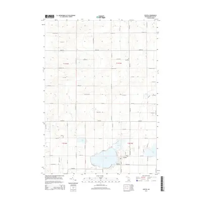
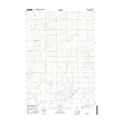
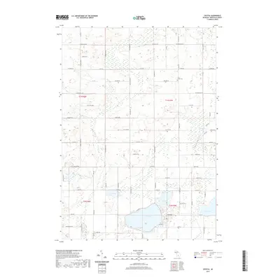
(20)- 2011 Map of Crystal, 2011 Print
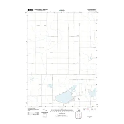 2011 Crystal2011 Print · USGSCovers Evergreen Township, including Crystal, Crystal Township, and other nearby areas
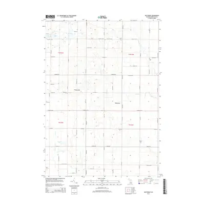
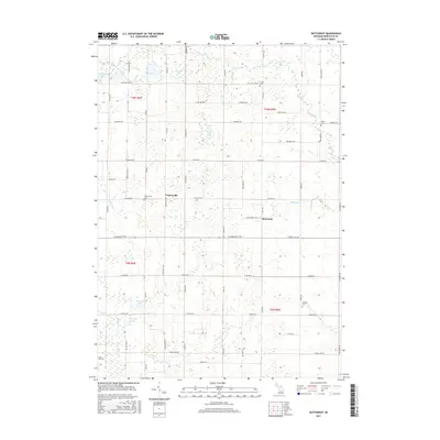
 - 2011 Map of Butternut, 2011 Print
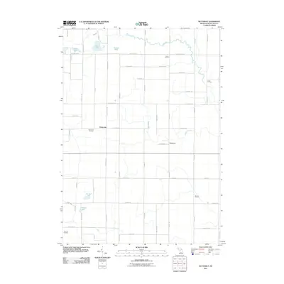 2011 Butternut2011 Print · USGSCovers Evergreen Township, including Crystal Township, Bloomer Township, and other nearby areas
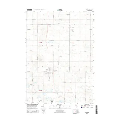
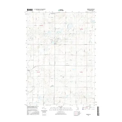
 - 2011 Map of Sheridan, 2011 Print
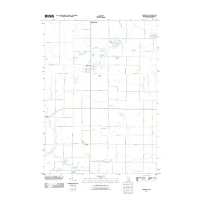 2011 Sheridan2011 Print · USGSCovers Evergreen Township, including Sheridan, Amsden, and other nearby areas
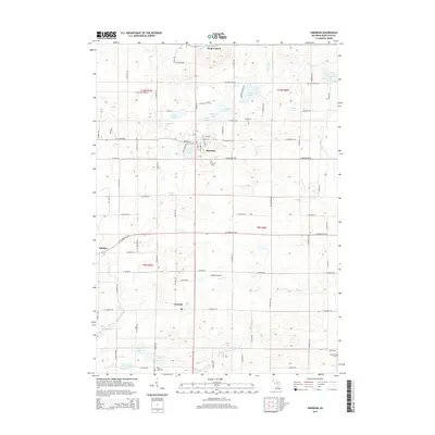
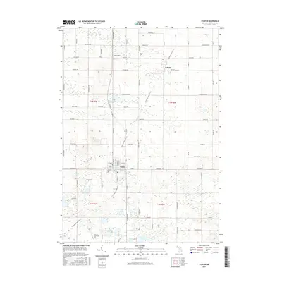
 - 2011 Map of Stanton, 2011 Print
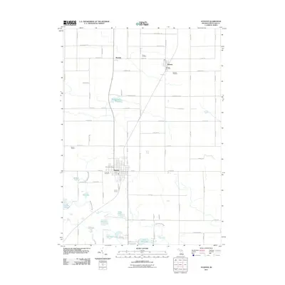 2011 Stanton2011 Print · USGSCovers Evergreen Township, including Stanton, McBride, and other nearby areas
 - 2014 Map of Crystal, 2014 Print
 2014 Crystal2014 Print · USGSCovers Evergreen Township, including Crystal, Crystal Township, and other nearby areas
 - 2014 Map of Butternut, 2014 Print
 2014 Butternut2014 Print · USGSCovers Evergreen Township, including Crystal Township, Bloomer Township, and other nearby areas
 - 2014 Map of Stanton, 2014 Print
 2014 Stanton2014 Print · USGSCovers Evergreen Township, including Stanton, McBride, and other nearby areas
 - 2014 Map of Sheridan, 2014 Print
 2014 Sheridan2014 Print · USGSCovers Evergreen Township, including Sheridan, Amsden, and other nearby areas
 - 2017 Map of Crystal, 2017 Print
 2017 Crystal2017 Print · USGSCovers Evergreen Township, including Crystal, Crystal Township, and other nearby areas
 - 2017 Map of Butternut, 2017 Print
 2017 Butternut2017 Print · USGSCovers Evergreen Township, including Crystal Township, Bloomer Township, and other nearby areas
 - 2017 Map of Sheridan, 2017 Print
 2017 Sheridan2017 Print · USGSCovers Evergreen Township, including Sheridan, Amsden, and other nearby areas
 - 2017 Map of Stanton, 2017 Print
 2017 Stanton2017 Print · USGSCovers Evergreen Township, including Stanton, McBride, and other nearby areas
 - 2019 Map of Crystal, 2019 Print
 2019 Crystal2019 Print · USGSCovers Evergreen Township, including Crystal, Crystal Township, and other nearby areas
 - 2019 Map of Stanton, 2019 Print
 2019 Stanton2019 Print · USGSCovers Evergreen Township, including Stanton, McBride, and other nearby areas
 - 2019 Map of Butternut, 2019 Print
 2019 Butternut2019 Print · USGSCovers Evergreen Township, including Crystal Township, Bloomer Township, and other nearby areas
 - 2019 Map of Sheridan, 2019 Print
 2019 Sheridan2019 Print · USGSCovers Evergreen Township, including Sheridan, Amsden, and other nearby areas
 - 2023 Map of Crystal, 2023 Print
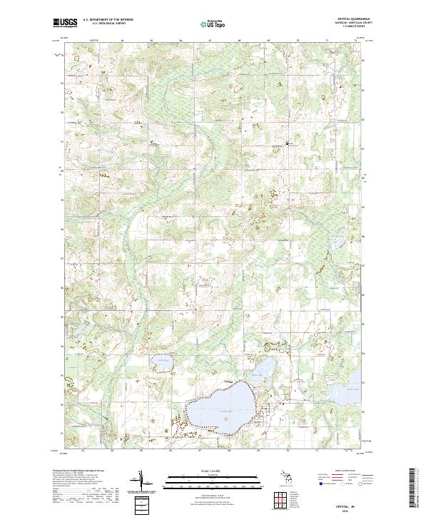 2023 Crystal2023 Print · USGSMontcalm County’s lake country is captured here in the early 2020s, centered on the recreational and residential hub of Crystal. Researchers can trace local landmarks and family-named roads near Crystal Lake, Ferris, and the Center Cem.
 - 2023 Map of Butternut, 2023 Print
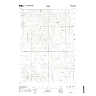
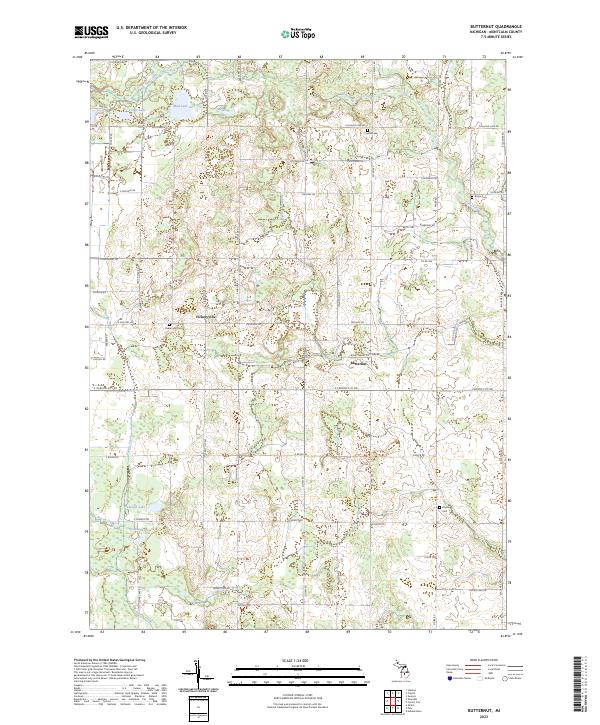 2023 Butternut2023 Print · USGSMontcalm County’s rural crossroads and water systems are documented in this recent survey. Local historians can trace the community layouts of Vickeryville and Butternut or locate family roots at Vickeryville Cem and Bloomer Cem.
 - 2023 Map of Stanton, 2023 Print
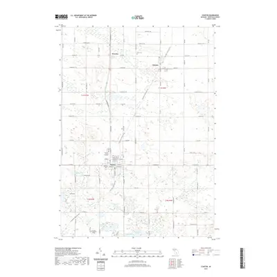
 2023 Stanton2023 Print · USGSMontcalm County’s central landscape is captured here in the early twenty-first century, centered on the historic seat at Stanton. Researchers can trace local lineage through several sites including Forest Hill Cem, McBrides Cem, and the Montcalm County Courthouse.
 - 2023 Map of Sheridan, 2023 Print
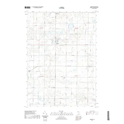
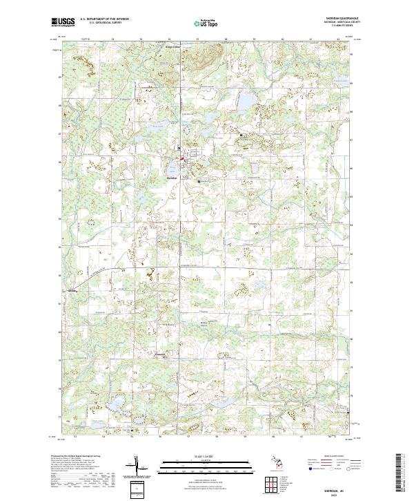 2023 Sheridan2023 Print · USGSMontcalm County’s rural townships are documented here during the early 2020s, showcasing a landscape of small settlements and numerous lakes. Researchers can locate family sites near Sheridan Cemetery or trace old routes connecting Amsden and Fenwick.
End of results
Showing maps 1-20 of 20
Top cities near Evergreen Township
- Greenville historical maps
- Belding historical maps
- Crystal historical maps
- Orleans historical maps
- Sidney historical maps
- Sumner historical maps
See more
Top neighborhoods of Evergreen Township
Frequently asked questions
- What are the different types of historical maps available for Evergreen Township?
- What is the oldest map of Evergreen Township?
- Where can I purchase historical maps of Evergreen Township for my home or office?
- Where can I download high-res historical maps of Evergreen Township?
- Are there historical topographic maps available for Evergreen Township?
- Is there historical aerial imagery available for Evergreen Township?
- Where are historical maps of Evergreen Township sourced from?