2000s (21st Century) Maps of Muskegon, Michigan
Explore 20 historic maps of Muskegon from the 2000s (21st Century). These maps offer a rare glimpse into what life looked like during the 2000s — showing old roads, neighborhoods, homes, and landmarks that have changed or disappeared over time.
Whether you're researching your family's past, planning a metal detecting trip, or studying how Muskegon's landscape evolved across the 2000s, these high-resolution maps are a powerful tool for exploring the history of this region.
- Focus on a specific era: All maps on this page are from the 2000s, giving you a focused view of this time period.
- See what’s changed: Compare century-old streets, trails, and buildings to today's modern landscape using overlays and satellite layers.
- Research with precision: Use these maps for genealogy, historical research, land use analysis, or educational projects.
- View, download, or print: Maps are fully viewable online in high resolution, and can be downloaded or printed for your own records.
Start exploring Muskegon's history through authentic maps from the 2000s. This is your window into the past.
Muskegon, MI maps
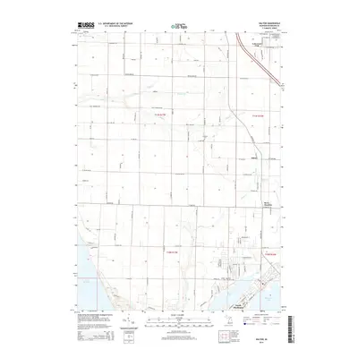
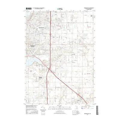
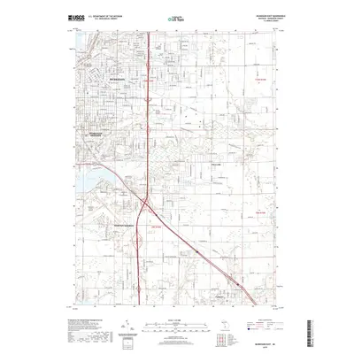
(20)- 2011 Map of Muskegon East, 2011 Print
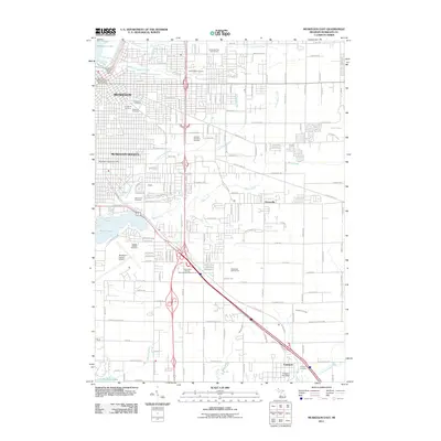 2011 Muskegon East2011 Print · USGSCovers Muskegon, including Norton Shores, Muskegon Heights, and other nearby areas
 - 2011 Map of Dalton, 2011 Print
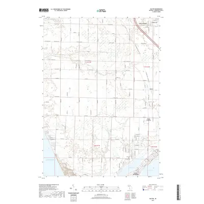
 2011 Dalton2011 Print · USGSCovers Muskegon, including Dalton, North Muskegon, and other nearby areas
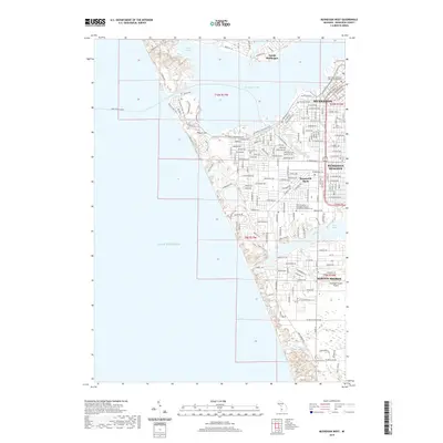
 - 2011 Map of Muskegon West, 2011 Print
 2011 Muskegon West2011 Print · USGSCovers Muskegon, including Norton Shores, Muskegon Heights, and other nearby areas
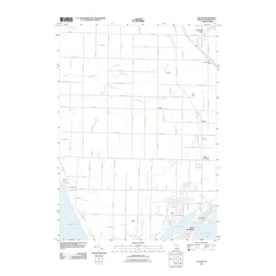
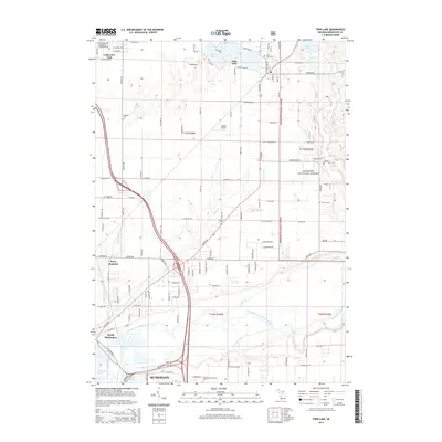
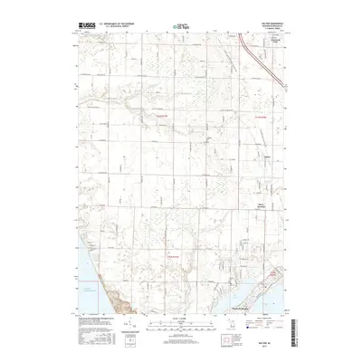
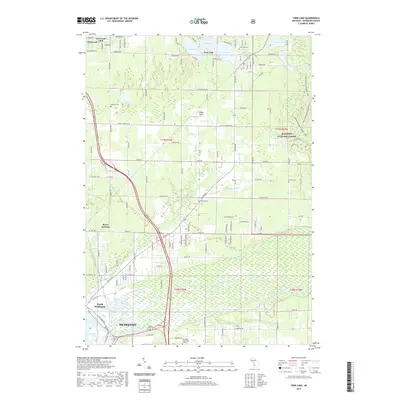
 - 2012 Map of Twin Lake, 2012 Print
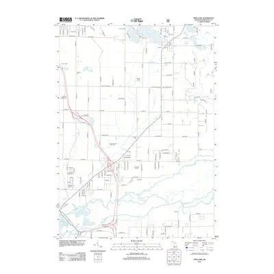 2012 Twin Lake2012 Print · USGSCovers Muskegon, including North Muskegon, Twin Lake, and other nearby areas
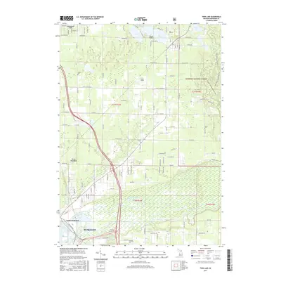
 - 2014 Map of Dalton, 2014 Print
 2014 Dalton2014 Print · USGSCovers Muskegon, including Dalton, North Muskegon, and other nearby areas
 - 2014 Map of Muskegon East, 2014 Print
 2014 Muskegon East2014 Print · USGSCovers Muskegon, including Norton Shores, Muskegon Heights, and other nearby areas
 - 2014 Map of Muskegon West, 2014 Print
 2014 Muskegon West2014 Print · USGSCovers Muskegon, including Norton Shores, Muskegon Heights, and other nearby areas
 - 2014 Map of Twin Lake, 2014 Print
 2014 Twin Lake2014 Print · USGSCovers Muskegon, including North Muskegon, Twin Lake, and other nearby areas
 - 2017 Map of Muskegon East, 2017 Print
 2017 Muskegon East2017 Print · USGSCovers Muskegon, including Norton Shores, Muskegon Heights, and other nearby areas
 - 2017 Map of Dalton, 2017 Print
 2017 Dalton2017 Print · USGSCovers Muskegon, including Dalton, North Muskegon, and other nearby areas
 - 2017 Map of Twin Lake, 2017 Print
 2017 Twin Lake2017 Print · USGSCovers Muskegon, including North Muskegon, Twin Lake, and other nearby areas
 - 2017 Map of Muskegon West, 2017 Print
 2017 Muskegon West2017 Print · USGSCovers Muskegon, including Norton Shores, Muskegon Heights, and other nearby areas
 - 2019 Map of Dalton, 2019 Print
 2019 Dalton2019 Print · USGSCovers Muskegon, including Dalton, North Muskegon, and other nearby areas
 - 2019 Map of Muskegon East, 2019 Print
 2019 Muskegon East2019 Print · USGSCovers Muskegon, including Norton Shores, Muskegon Heights, and other nearby areas
 - 2019 Map of Twin Lake, 2019 Print
 2019 Twin Lake2019 Print · USGSCovers Muskegon, including North Muskegon, Twin Lake, and other nearby areas
 - 2019 Map of Muskegon West, 2019 Print
 2019 Muskegon West2019 Print · USGSCovers Muskegon, including Norton Shores, Muskegon Heights, and other nearby areas
 - 2023 Map of Muskegon East, 2023 Print
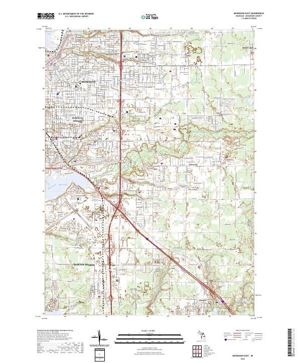 2023 Muskegon East2023 Print · USGSMuskegon and its surrounding communities are shown in the early 2020s, highlighting the area's development around the lakes. Genealogists and historians can trace local landmarks like Evergreen Cem, Muskegon County Airport, and the village of Fruitport.
 - 2023 Map of Twin Lake, 2023 Print
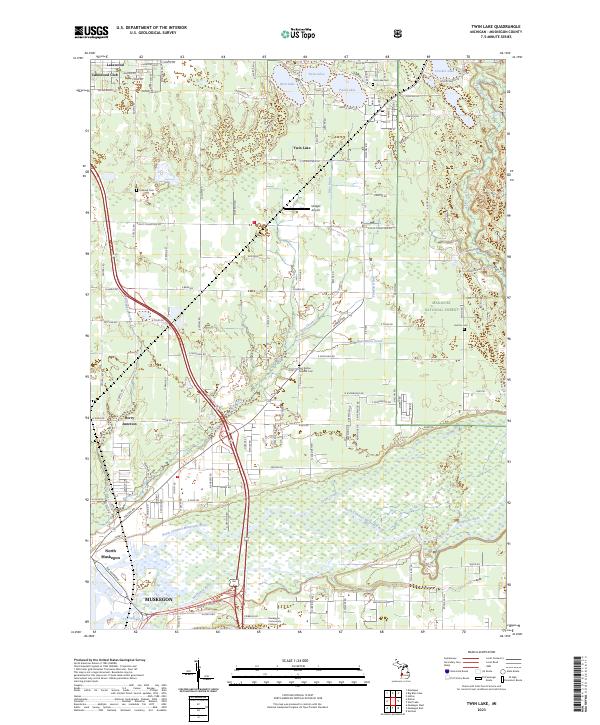 2023 Twin Lake2023 Print · USGSMuskegon and Twin Lake are captured here in the early 2020s, showing the intersection of forest lands and growing Michigan communities. Trace local history through the Midget Airport, East Dalton Oak Hill Cem, and the shifting channels of the Muskegon River.
 - 2023 Map of Dalton, 2023 Print
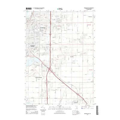
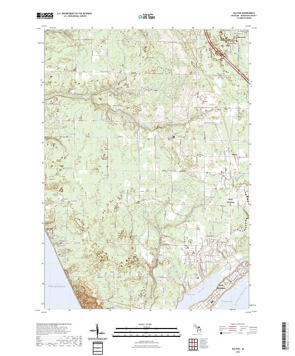 2023 Dalton2023 Print · USGSCoastal Muskegon County is captured here in recent years, showing the area's development from the lakeside to the inland forests. Researchers can trace local heritage at Laketon Cem, explore the shoreline of Bear Lake, or follow the Muskegon State Park Loop Trail.
 - 2023 Map of Muskegon West, 2023 Print
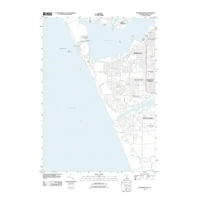
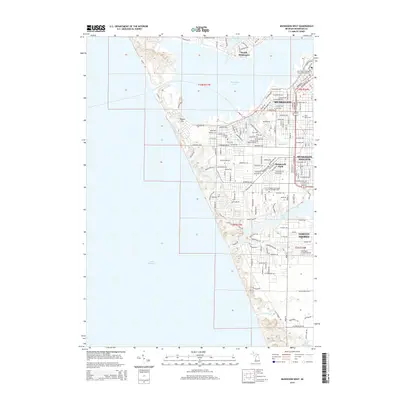
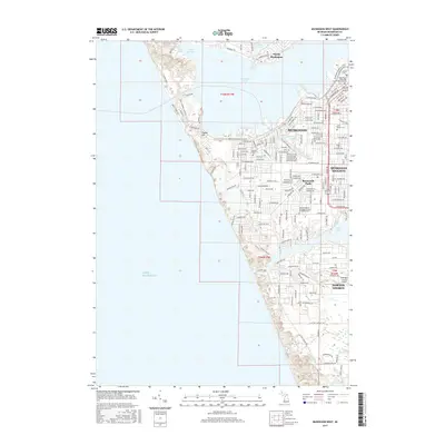
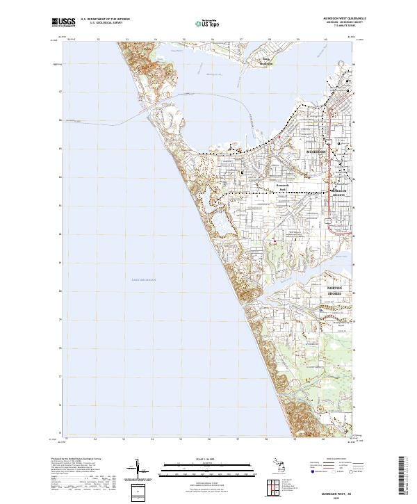 2023 Muskegon West2023 Print · USGSMuskegon’s shoreline and industrial corridor are mapped here during a period of modern expansion along the Lake Michigan coast. Genealogists and local historians can trace specific landmarks like the Old Indian Cem, Ruddiman Lagoon, and the Lake Express Ferry terminal.
End of results
Showing maps 1-20 of 20
Top cities near Muskegon
- Norton Shores historical maps
- Spring Lake Township historical maps
- Muskegon Heights historical maps
- Grand Haven historical maps
- Dalton historical maps
- Wolf Lake historical maps
See more
Frequently asked questions
- What are the different types of historical maps available for Muskegon?
- What is the oldest map of Muskegon?
- Where can I purchase historical maps of Muskegon for my home or office?
- Where can I download high-res historical maps of Muskegon?
- Are there historical topographic maps available for Muskegon?
- Is there historical aerial imagery available for Muskegon?
- Where are historical maps of Muskegon sourced from?