Old Maps of Bridgeton Township, Michigan for Academic Research
Study the evolution of Bridgeton Township with 37 high-resolution historic maps. Whether you're teaching, researching, or modeling changes in land use, these maps provide essential visual documentation of urban, environmental, and geographic change.
- Analyze long-term change: Track patterns in development, transportation, and natural features.
- Ideal for environmental or urban studies: Support academic projects with primary historical map data.
- Use in the classroom or lab: Educators and researchers rely on these maps to bring historical context to life.
These maps are a powerful tool for teaching, research, and visualizing how Bridgeton Township has changed over the decades.
Bridgeton Township, MI maps
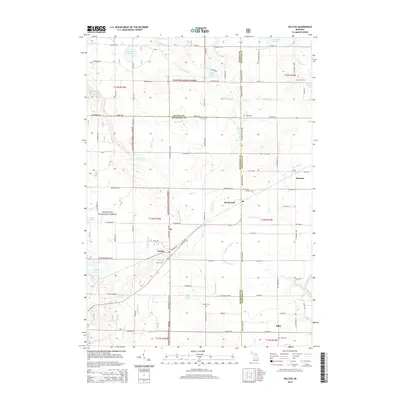
(37)- 1954 Map of Milwaukee, 1967 Print
 1954 Milwaukee1967 Print · USGSCoastal life and maritime commerce across Lake Michigan are seen here during the mid-fifties, bridging Wisconsin's industrial hubs and Michigan's timberlands. Genealogists and historians can trace the rail lines of the Grand Trunk Western and find long-established ports like Ludington, Port Washington, and Muskegon.3 unique versions available
 - 1954 Map of Midland, 1967 Print
 1954 Midland1967 Print · USGSMid-Michigan at the peak of the post-war era shows a landscape balancing industrial growth in Midland with the deep timberlands of the Manistee National Forest. Researchers can trace the legacy of the timber and rail era along the Pennsylvania RR or find family roots in river towns like Chesaning and Big Rapids.4 unique versions available
 - 1958 Map of Midland
 1958 Midland1958 Print · USGSCentral Michigan in the late fifties is captured here during a period of transition for its university towns and industrial hubs. Genealogists and researchers can trace family lines through old rail-stop towns like Breckenridge and Chesaning or locate property near the Muskegon River and Prairie Farm.
 - 1958 Map of Milwaukee
 1958 Milwaukee1958 Print · USGSThe shorelines of Lake Michigan in the late fifties reveal a landscape of bustling ferry ports and growing industrial suburbs. Genealogists and historians can trace rail networks like the Chesapeake & Ohio and locate landmarks such as Little Sable Point and Holy Cross Church.
 - 1958 Map of Twin Lake, 1960 Print
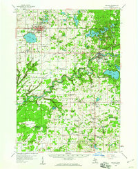
 1958 Twin Lake1960 Print · USGSMuskegon County in the late fifties shows a landscape of dense lake-country and growing crossroads. Genealogists and local historians can trace rural school districts at St Michaels Sch or find family plots at Blue Lake Cem and Horton Cem.3 unique versions available
 - 1958 Map of Fremont, 1960 Print
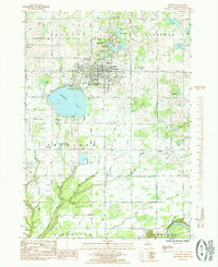
 1958 Fremont1960 Print · USGSNewaygo County's transition from forest to farmland is visible in this mid-century survey of the Muskegon River valley. Genealogists can trace family roots through numerous rural landmarks like the Danish Ch, Reeman Cem, and more than twenty localized schoolhouses.2 unique versions available
 - 1959 Map of Midland
 1959 Midland1959 Print · USGSMid-century Michigan comes alive in this survey of the central Lower Peninsula, from the streets of Grand Rapids to the Houghton Lake timberlands. Genealogists and rail fans can trace the Ann Arbor RR and Chesapeake and Ohio RR through towns like Big Rapids and Mount Pleasant.
 - 1966 Map of Midland
 1966 Midland1966 Print · USGSCentral Michigan in the mid-1960s shows a landscape of growing manufacturing hubs and active resource extraction. Genealogists and historians can trace the rail corridors of the Grand Trunk Western or locate family-named landmarks near Oil wells and the Muskegon River.
 - 1976 Map of Twin Lake SE
 1976 Twin Lake SE1976 Print · USGSMid-century Michigan land use and river morphology are captured in this 1976 aerial study. Researchers can trace the winding course of the Muskegon River, the development near Wolf Lake, and the distinctive circular patterns of industrial-scale irrigation.
 - 1976 Map of Twin Lake NE
 1976 Twin Lake NE1976 Print · USGSMuskegon County farmland and small settlements are captured from above in the mid-1970s just as these rural communities were evolving. Genealogists and land researchers can trace the exact 1976 footprints of Holton, Brunswick, and Reeman.
 - 1982 Map of Muskegon
 1982 Muskegon1982 Print · USGSThe West Michigan shoreline during the early eighties shows a bustling industrial and maritime landscape centered on Muskegon Lake and Grand Haven. Researchers can trace rail history along the Grand Trunk Western or locate local landmarks like Oakwood Cem and Cloverville.
 - 1985 Map of Fremont
 1985 Fremont1985 Print · USGSNewaygo County in the mid-eighties shows a landscape of glacial lakes and small-town growth around Fremont. Genealogists and local historians can trace family locations near Maple Grove Cemetery or the rural settlement of Bishop near the Muskegon River.
 - 1985 Map of Holton
 1985 Holton1985 Print · USGSThe borders of Muskegon, Oceana, and Newaygo counties meet here in the mid-1980s, centered on the settlement of Holton. Researchers can trace local family lineages through St Micheals Ch, Evans Cem, and the rural community at Brunswick.
 - 1985 Map of Cedar Springs
 1985 Cedar Springs1985 Print · USGSThe northern reaches of the Grand Rapids metro area meet the forests of the Manistee during the mid-eighties. Genealogists and historians can trace the paths of the Grand Trunk Western RR through Sparta or locate rural landmarks near Cedar Springs and Rockford.
 - 1985 Map of Wolf Lake
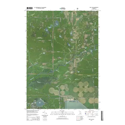
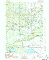 1985 Wolf Lake1985 Print · USGSMuskegon County is shown in the mid-eighties as a region defined by river confluences and large-scale conservation lands. Genealogists and local historians can locate St Anthonys Cem, the John F Kennedy Memorial Park, and the unique Muskegon Wastewater Management System.
 - 1985 Map of Bridgeton
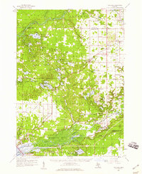
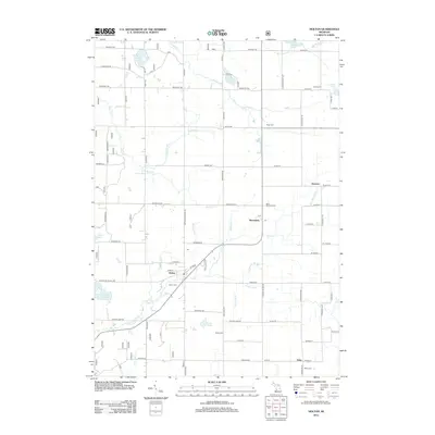
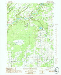 1985 Bridgeton1985 Print · USGSThe Muskegon River valley in the early 1980s reveals a mix of conservation lands and rural township life. Genealogists and local historians can locate the Bridgeton Ch, the village of Trent, and the small Cem tucked near the Muskegon River banks.
 - 1986 Map of Cedar Springs, 1989 Print
 1986 Cedar Springs1989 Print · USGSThe northern suburbs of Grand Rapids meet the Manistee National Forest in the mid-1980s. Genealogists and historians can trace the rail-side growth of Howard City, Rockford, and Greenville along the C & O RR and Flat River.
 - 2011 Map of Fremont, 2011 Print
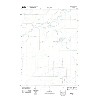
 2011 Fremont2011 Print · USGSCovers Bridgeton Township, including Fremont, Ashland Township, and other nearby areas
 - 2011 Map of Bridgeton, 2011 Print
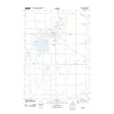
 2011 Bridgeton2011 Print · USGSCovers Bridgeton Township, including Bridgeton, Ashland Township, and other nearby areas
 - 2012 Map of Wolf Lake, 2012 Print
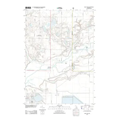 2012 Wolf Lake2012 Print · USGSCovers Bridgeton Township, including Wolf Lake, Egelston Township, and other nearby areas
 - 2012 Map of Holton, 2012 Print
 2012 Holton2012 Print · USGSCovers Bridgeton Township, including Holton, Greenwood Township, and other nearby areas
 - 2014 Map of Wolf Lake, 2014 Print
 2014 Wolf Lake2014 Print · USGSCovers Bridgeton Township, including Wolf Lake, Egelston Township, and other nearby areas
 - 2014 Map of Bridgeton, 2014 Print
 2014 Bridgeton2014 Print · USGSCovers Bridgeton Township, including Bridgeton, Ashland Township, and other nearby areas
 - 2014 Map of Fremont, 2014 Print
 2014 Fremont2014 Print · USGSCovers Bridgeton Township, including Fremont, Ashland Township, and other nearby areas
 - 2014 Map of Holton, 2014 Print
 2014 Holton2014 Print · USGSCovers Bridgeton Township, including Holton, Greenwood Township, and other nearby areas
Showing maps 1-25 of 37
Top cities near Bridgeton Township
- Muskegon historical maps
- Spring Lake Township historical maps
- Alpine Township historical maps
- Fremont historical maps
- Wolf Lake historical maps
- Wright historical maps
See more
Top neighborhoods of Bridgeton Township
Frequently asked questions
- What are the different types of historical maps available for Bridgeton Township?
- What is the oldest map of Bridgeton Township?
- Where can I purchase historical maps of Bridgeton Township for my home or office?
- Where can I download high-res historical maps of Bridgeton Township?
- Are there historical topographic maps available for Bridgeton Township?
- Is there historical aerial imagery available for Bridgeton Township?
- Where are historical maps of Bridgeton Township sourced from?