Old Maps of Shelby, Shelby Township for Academic Research
Study the evolution of Shelby with 34 high-resolution historic maps. Whether you're teaching, researching, or modeling changes in land use, these maps provide essential visual documentation of urban, environmental, and geographic change.
- Analyze long-term change: Track patterns in development, transportation, and natural features.
- Ideal for environmental or urban studies: Support academic projects with primary historical map data.
- Use in the classroom or lab: Educators and researchers rely on these maps to bring historical context to life.
These maps are a powerful tool for teaching, research, and visualizing how Shelby has changed over the decades.
Shelby, Shelby Township maps
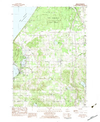
(34)- 1931 Map of Hart NW
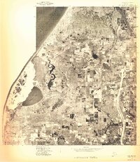
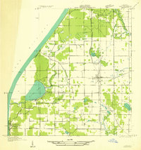 1931 Hart NW1931 Print · USGSOceana County’s coast and interior farmsteads are captured in the early 1930s, showing a landscape defined by small rural school districts and the lakefront. Researchers can trace family locations through sites like Wesley M E Ch, the village of Mears, and schools like Young Sch and Garver Sch.
 - 1931 Map of Hart SE
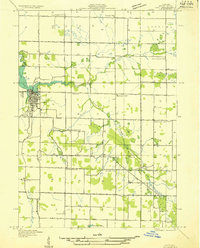
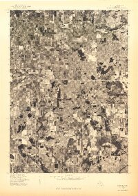
 1931 Hart SE1931 Print · USGSOceana County at the dawn of the 1930s reveals a productive landscape of lakeside farms and rail-connected villages. Trace the early routes of U S Highway No 31 through New Era and Shelby, or locate family sites near Eagle Sch and Ferry Cem.
 - 1931 Map of Hart NE
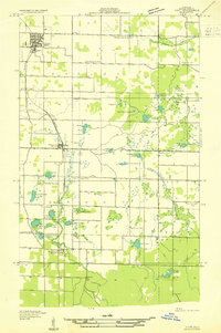
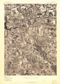
 1931 Hart NE1931 Print · USGSOceana County is shown in detail during the early 1930s, centered on the bustling village of HART and its surrounding agricultural townships. Researchers can trace rural genealogy through nearly a dozen local schoolhouses like Brooks Sch and landmarks such as the FAIR GROUNDS or St Josephs Ch.2 unique versions available
 - 1954 Map of Milwaukee, 1967 Print
 1954 Milwaukee1967 Print · USGSCoastal life and maritime commerce across Lake Michigan are seen here during the mid-fifties, bridging Wisconsin's industrial hubs and Michigan's timberlands. Genealogists and historians can trace the rail lines of the Grand Trunk Western and find long-established ports like Ludington, Port Washington, and Muskegon.3 unique versions available
 - 1958 Map of Milwaukee
 1958 Milwaukee1958 Print · USGSThe shorelines of Lake Michigan in the late fifties reveal a landscape of bustling ferry ports and growing industrial suburbs. Genealogists and historians can trace rail networks like the Chesapeake & Ohio and locate landmarks such as Little Sable Point and Holy Cross Church.
 - 1959 Map of Hart, 1961 Print
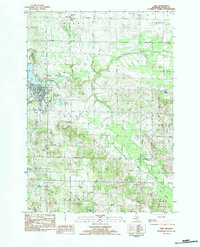
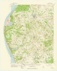 1959 Hart1961 Print · USGSOceana County at the close of the 1950s shows a landscape defined by Great Lakes shorelines and the busy rail towns of the interior. Trace the rural school system and family sites from Little Point Sable to the Chesapeake and Ohio line through Mears and Shelby.3 unique versions available
 - 1976 Map of Hart NW
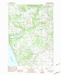
 1976 Hart NW1976 Print · USGSThe Oceana County shoreline and coastal dunes are captured in this mid-seventies aerial survey. Local historians and land researchers can trace the landscape around Mears and the natural boundary of Silver Lake along the Lake Michigan coast.
 - 1976 Map of Hart SE
 1976 Hart SE1976 Print · USGSOceana County is shown in remarkable aerial detail during the mid-seventies, capturing the agricultural heart of west Michigan. Genealogists and local historians can trace exact farmstead locations and rural boundaries surrounding Shelby, New Era, and Rothbury.
 - 1976 Map of Hart NE
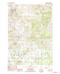
 1976 Hart NE1976 Print · USGSOceana County is documented through 1970s aerial imagery just as local agriculture and the town center were evolving. Family historians can trace property lines and land use near Hart and along the southern edge of Weare.
 - 1983 Map of Hart
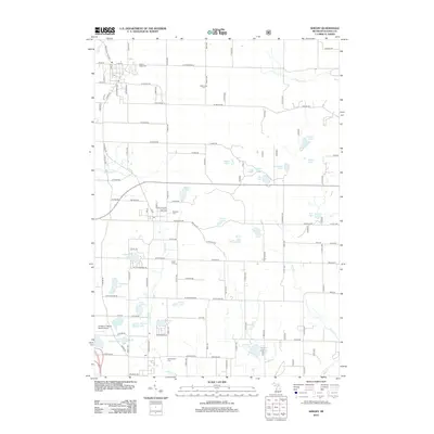
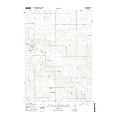
 1983 Hart1983 Print · USGSIn the early eighties, the area surrounding the Oceana county seat was a mix of municipal growth and deep-rooted rural outposts. Genealogists and local historians can trace the locations of St Josephs Ch, Oceana Center Cem, and the old Crystal Lake Sch.
 - 1983 Map of Mears
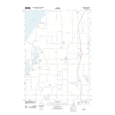
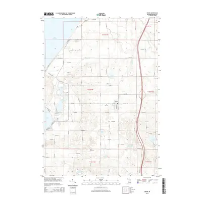
 1983 Mears1983 Print · USGSThe Oceana County shoreline and the village of Mears are captured here in the early eighties as a landscape of orchards, state forests, and shifting dunes. Researchers can locate family landmarks such as the Mission Covenant Ch, the Round Lake Cem, and the settlement of Hunter.
 - 1983 Map of Town Corners
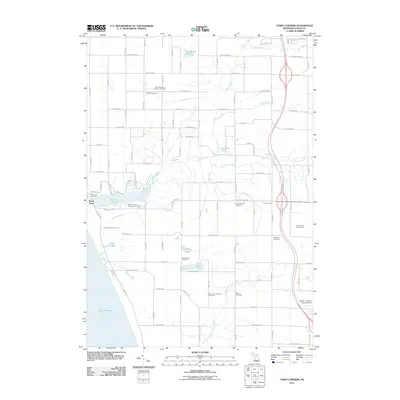
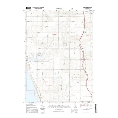
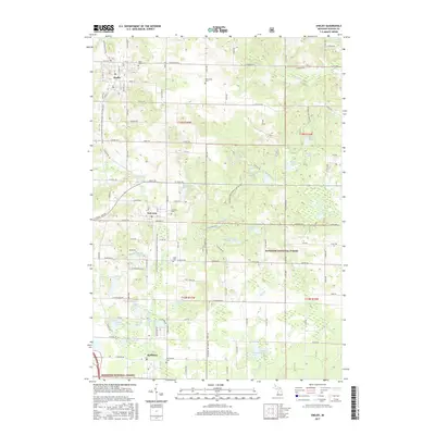
 1983 Town Corners1983 Print · USGSWestern Oceana County in the early eighties shows a landscape of coastal lakes and active oil production near the Michigan shore. Researchers can trace family sites at Gardner Cem and Cranston Cem, or locate the Stony Lake Oil Field and the rural center at Town Corners.2 unique versions available
 - 1983 Map of Shelby
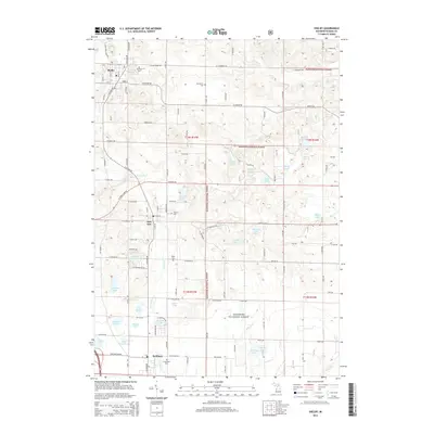
 1983 Shelby1983 Print · USGSSouthern Oceana County appears in the early eighties as a corridor of small-town life and timberland. Trace the rail-side growth of Shelby, New Era, and Rothbury, or locate family sites at Mount Hope Cem and Assumption Cem.
 - 1983 Map of Ludington, 1984 Print
 1983 Ludington1984 Print · USGSThe Michigan shoreline during the early eighties comes alive in this survey of the dunes and woodlands. Trace the Chesapeake and Ohio rail route through Ludington and Hart, or find family landmarks like Meisenheimer Corners and Wiley.
 - 2011 Map of Hart, 2011 Print
 2011 Hart2011 Print · USGSCovers Shelby, including Hart, Weare, and other nearby areas
 - 2011 Map of Town Corners, 2011 Print
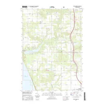
 2011 Town Corners2011 Print · USGSCovers Shelby, including Shelby Township, Benona Township, and other nearby areas
 - 2011 Map of Mears, 2011 Print
 2011 Mears2011 Print · USGSCovers Shelby, including Hart, Weare Township, and other nearby areas
 - 2012 Map of Shelby, 2012 Print
 2012 Shelby2012 Print · USGSCovers Shelby, including New Era, Rothbury, and other nearby areas
 - 2014 Map of Hart, 2014 Print
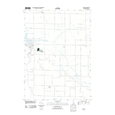
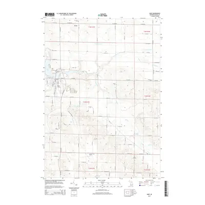 2014 Hart2014 Print · USGSCovers Shelby, including Hart, Weare, and other nearby areas
 - 2014 Map of Town Corners, 2014 Print
 2014 Town Corners2014 Print · USGSCovers Shelby, including Shelby Township, Benona Township, and other nearby areas
 - 2014 Map of Mears, 2014 Print
 2014 Mears2014 Print · USGSCovers Shelby, including Hart, Weare Township, and other nearby areas
 - 2014 Map of Shelby, 2014 Print
 2014 Shelby2014 Print · USGSCovers Shelby, including New Era, Rothbury, and other nearby areas
 - 2017 Map of Hart, 2017 Print
 2017 Hart2017 Print · USGSCovers Shelby, including Hart, Weare, and other nearby areas
 - 2017 Map of Shelby, 2017 Print
 2017 Shelby2017 Print · USGSCovers Shelby, including New Era, Rothbury, and other nearby areas
 - 2017 Map of Town Corners, 2017 Print
 2017 Town Corners2017 Print · USGSCovers Shelby, including Shelby Township, Benona Township, and other nearby areas
Showing maps 1-25 of 34
Top cities near Shelby
- Whitehall historical maps
- Montague historical maps
- Hart historical maps
- Ferry historical maps
- Weare historical maps
- Pentwater historical maps
See more
Frequently asked questions
- What are the different types of historical maps available for Shelby?
- What is the oldest map of Shelby?
- Where can I purchase historical maps of Shelby for my home or office?
- Where can I download high-res historical maps of Shelby?
- Are there historical topographic maps available for Shelby?
- Is there historical aerial imagery available for Shelby?
- Where are historical maps of Shelby sourced from?