2000s (21st Century) Maps of Weare Township, Michigan
Explore 20 historic maps of Weare Township from the 2000s (21st Century). These maps offer a rare glimpse into what life looked like during the 2000s — showing old roads, neighborhoods, homes, and landmarks that have changed or disappeared over time.
Whether you're researching your family's past, planning a metal detecting trip, or studying how Weare Township's landscape evolved across the 2000s, these high-resolution maps are a powerful tool for exploring the history of this region.
- Focus on a specific era: All maps on this page are from the 2000s, giving you a focused view of this time period.
- See what’s changed: Compare century-old streets, trails, and buildings to today's modern landscape using overlays and satellite layers.
- Research with precision: Use these maps for genealogy, historical research, land use analysis, or educational projects.
- View, download, or print: Maps are fully viewable online in high resolution, and can be downloaded or printed for your own records.
Start exploring Weare Township's history through authentic maps from the 2000s. This is your window into the past.
Weare Township, MI maps
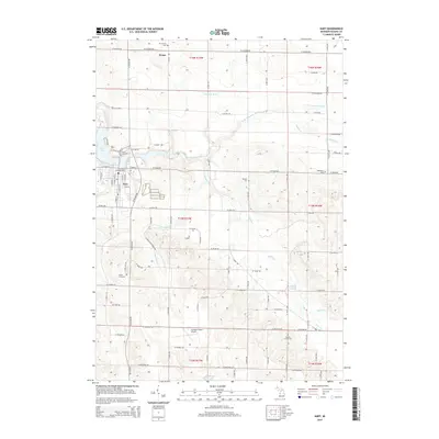
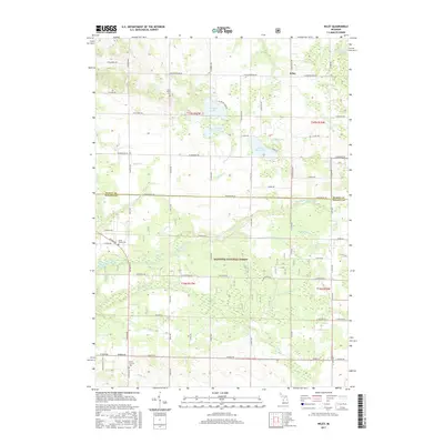
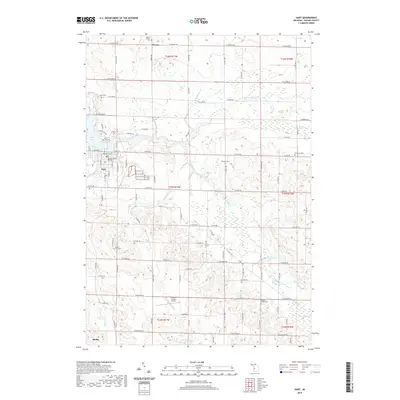
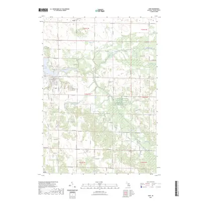
(20)- 2011 Map of Hart, 2011 Print
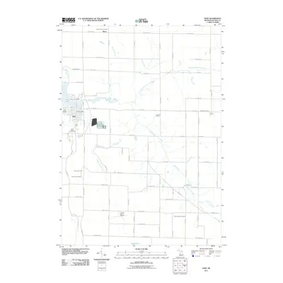 2011 Hart2011 Print · USGSCovers Weare Township, including Hart, Shelby, and other nearby areas
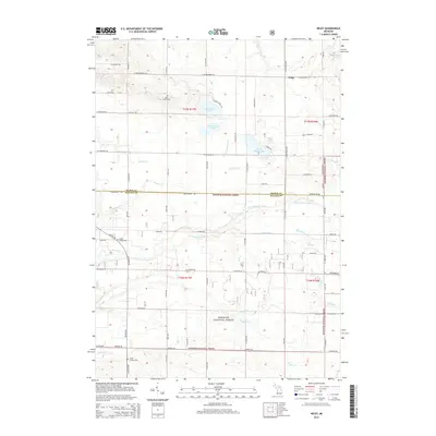
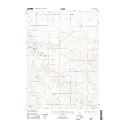
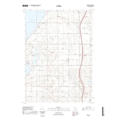
 - 2011 Map of Mears, 2011 Print
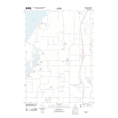 2011 Mears2011 Print · USGSCovers Weare Township, including Hart, Shelby, and other nearby areas
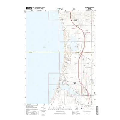
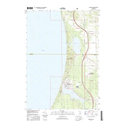
 - 2012 Map of Pentwater, 2012 Print
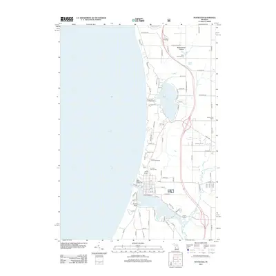 2012 Pentwater2012 Print · USGSCovers Weare Township, including Pentwater, Riverton Township, and other nearby areas
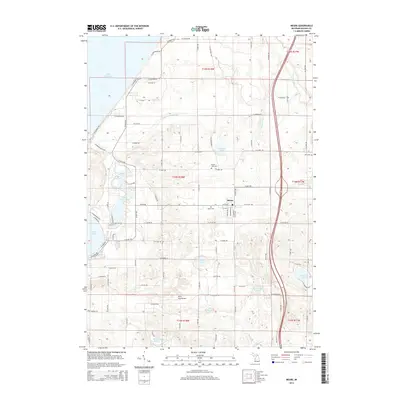
 - 2012 Map of Wiley, 2012 Print
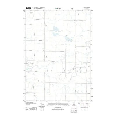 2012 Wiley2012 Print · USGSCovers Weare Township, including Eden Township, Crystal Township, and other nearby areas
 - 2014 Map of Hart, 2014 Print
 2014 Hart2014 Print · USGSCovers Weare Township, including Hart, Shelby, and other nearby areas
 - 2014 Map of Wiley, 2014 Print
 2014 Wiley2014 Print · USGSCovers Weare Township, including Eden Township, Crystal Township, and other nearby areas
 - 2014 Map of Pentwater, 2014 Print
 2014 Pentwater2014 Print · USGSCovers Weare Township, including Pentwater, Riverton Township, and other nearby areas
 - 2014 Map of Mears, 2014 Print
 2014 Mears2014 Print · USGSCovers Weare Township, including Hart, Shelby, and other nearby areas
 - 2017 Map of Wiley, 2017 Print
 2017 Wiley2017 Print · USGSCovers Weare Township, including Eden Township, Crystal Township, and other nearby areas
 - 2017 Map of Hart, 2017 Print
 2017 Hart2017 Print · USGSCovers Weare Township, including Hart, Shelby, and other nearby areas
 - 2017 Map of Pentwater, 2017 Print
 2017 Pentwater2017 Print · USGSCovers Weare Township, including Pentwater, Riverton Township, and other nearby areas
 - 2017 Map of Mears, 2017 Print
 2017 Mears2017 Print · USGSCovers Weare Township, including Hart, Shelby, and other nearby areas
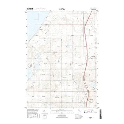
 - 2019 Map of Mears, 2019 Print
 2019 Mears2019 Print · USGSCovers Weare Township, including Hart, Shelby, and other nearby areas
 - 2019 Map of Wiley, 2019 Print
 2019 Wiley2019 Print · USGSCovers Weare Township, including Eden Township, Crystal Township, and other nearby areas
 - 2019 Map of Hart, 2019 Print
 2019 Hart2019 Print · USGSCovers Weare Township, including Hart, Shelby, and other nearby areas
 - 2019 Map of Pentwater, 2019 Print
 2019 Pentwater2019 Print · USGSCovers Weare Township, including Pentwater, Riverton Township, and other nearby areas
 - 2023 Map of Hart, 2023 Print
 2023 Hart2023 Print · USGSThe city of Hart and its surrounding townships are shown here as they appeared in 2023, centered on the Pentwater River valley. Researchers can locate numerous family burial sites like Randall Cem or trace the rural drainage of Makins Creek and Knox Swamp.
 - 2023 Map of Pentwater, 2023 Print
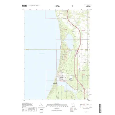
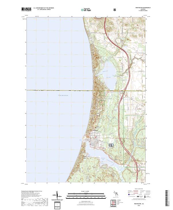 2023 Pentwater2023 Print · USGSThe Lake Michigan shoreline at Pentwater is captured here in the early 2020s, showing the town's relationship with its namesake lake and forest. Genealogists and local historians can trace the village streets and the Pentwater Township Cem, or explore coastal features like Bass Lake and French Town.
 - 2023 Map of Mears, 2023 Print
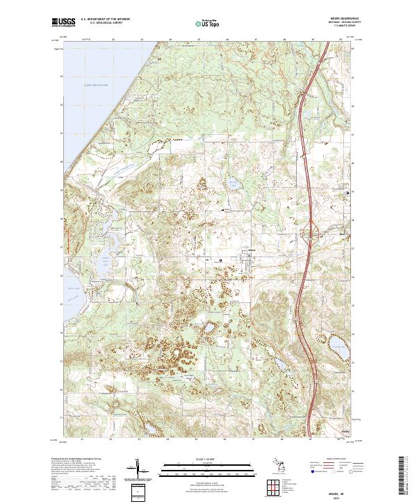 2023 Mears2023 Print · USGSThe Oceana County shoreline is captured here in its modern state, balancing lakeside recreation with deep-rooted agricultural communities. Researchers can trace family history at Mears Cem or explore the recreational landscape of the Silver Lake-Orv Area Trl and Upper Silver Lake.
 - 2023 Map of Wiley, 2023 Print
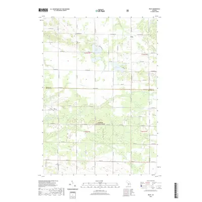
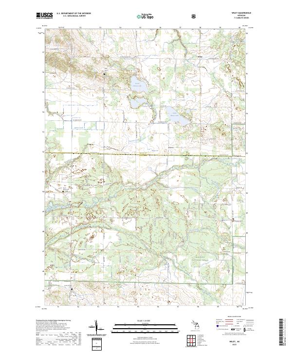 2023 Wiley2023 Print · USGSIn the quiet rural landscape of Oceana and Mason Counties, this contemporary survey captures a region defined by its timberlands and glacial lakes. Researchers can trace family history through several local burial sites, including Saint Peter's Cem, or follow the winding North Branch Pentwater River past the settlement of Wiley.
End of results
Showing maps 1-20 of 20
Top cities near Weare Township
- Ludington historical maps
- Amber historical maps
- Hart historical maps
- Shelby historical maps
- Ferry historical maps
- Weare historical maps
See more
Top neighborhoods of Weare Township
Frequently asked questions
- What are the different types of historical maps available for Weare Township?
- What is the oldest map of Weare Township?
- Where can I purchase historical maps of Weare Township for my home or office?
- Where can I download high-res historical maps of Weare Township?
- Are there historical topographic maps available for Weare Township?
- Is there historical aerial imagery available for Weare Township?
- Where are historical maps of Weare Township sourced from?