Old Maps of Cumming Township, Michigan for Hiking & Exploration
Hike through history with 28 historic maps of Cumming Township. Explore old trails, ghost towns, and forgotten backroads — perfect for outdoor adventurers and local explorers.
- Rediscover forgotten places: Map out old mining camps, roads, and footpaths that no longer exist on modern maps.
- Layer with modern tools: Combine with LiDAR or satellite views to plan hikes through historical terrain.
- Made for exploration: Popular among hikers, overlanders, and local history lovers.
Use these maps to find adventure and explore the hidden past of Cumming Township.
Cumming Township, MI maps
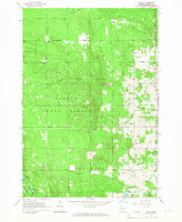
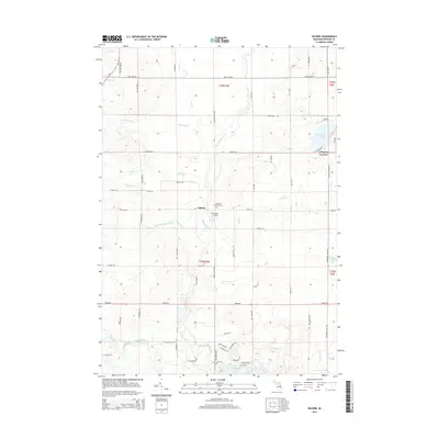
(28)- 1954 Map of Traverse City, 1965 Print
 1954 Traverse City1965 Print · USGSNorthern Michigan’s vast lakeshores and timberlands are captured here in the mid-fifties, showing the region before the modern interstate era. Genealogists and researchers can trace rail connections like the Detroit and Mackinac RR or find old communities such as Suttons Bay, Elk Rapids, and Prudenville.4 unique versions available
 - 1958 Map of Traverse City
 1958 Traverse City1958 Print · USGSNorthern Lower Michigan was a landscape of vast state forests and burgeoning lakeside retreats in the late fifties. Genealogists and historians can trace the rail corridors of the Ann Arbor RR and find established settlements from Elk Rapids to Houghton Lake.2 unique versions available
 - 1965 Map of Damon, 1966 Print
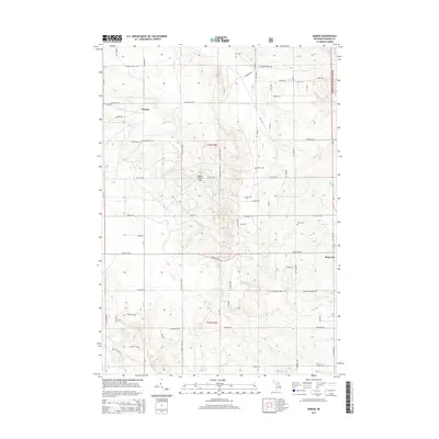
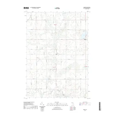
 1965 Damon1966 Print · USGSOgemaw County's forest lands and oil fields are captured here in the mid-1960s, showing the intersection of industry and natural conservation. Genealogists can locate family names at Damon Cem and Rose Cem, or trace the winding Old Railroad Grade.
 - 1965 Map of West Branch, 1966 Print
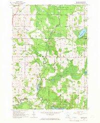
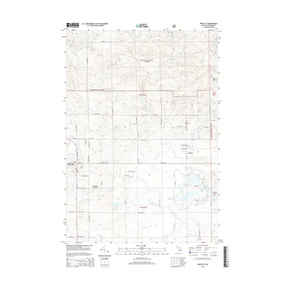
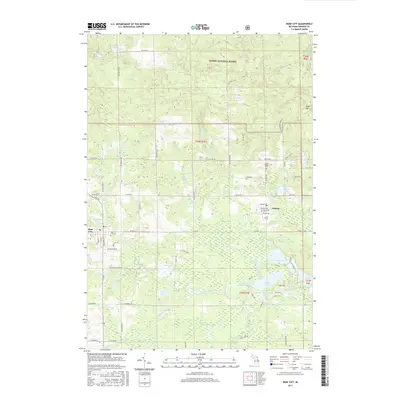
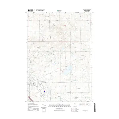
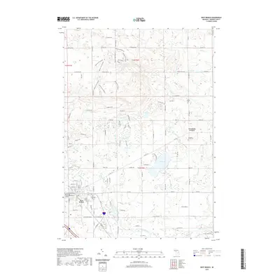
 1965 West Branch1966 Print · USGSThe Ogemaw County seat and its rural surroundings are captured in the mid-1960s as the rail and river networks defined local life. Trace family roots at St Josephs Cem, locate the old Miller Sch, or explore the tracks of the New York Central railroad.3 unique versions available
 - 1965 Map of Selkirk, 1966 Print
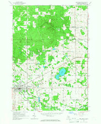
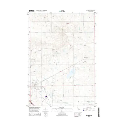
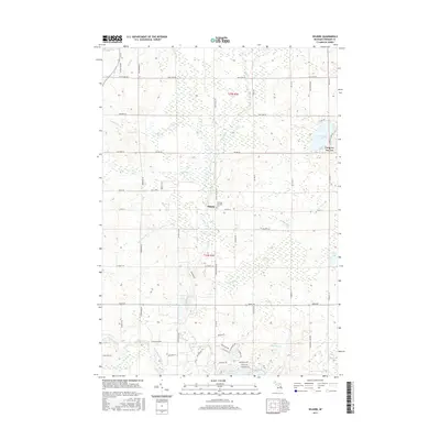
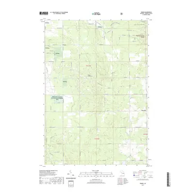
 1965 Selkirk1966 Print · USGSIn the mid-1960s, this portion of Ogemaw County was a mix of protected state forests and active rural communities centered on the Rifle River. Researchers can trace the locations of many local institutions, including Selkirk, Churchill Sch, and several Aboriginal Earthworks.2 unique versions available
 - 1965 Map of Rose City, 1967 Print
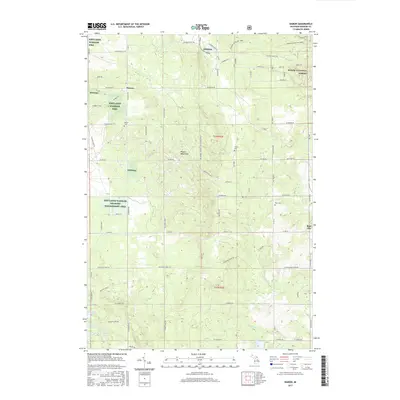
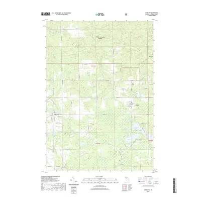
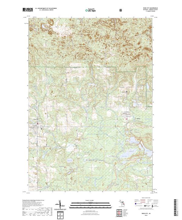
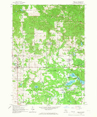 1965 Rose City1967 Print · USGSOgemaw County thrived as a destination for forestry and recreation in the mid-sixties, centered on the growing community of Rose City. Local historians can trace family-named sites like Fayettes Corner, explore the Old Railroad Grade, and locate the Lane Heights Cem near Lupton.3 unique versions available
 - 1983 Map of Houghton Lake, 1984 Print
 1983 Houghton Lake1984 Print · USGSIn the early 1980s, the Michigan heartland around Houghton Lake was a patchwork of state forest and growing lakeside resorts. Genealogists and historians can trace the development of communities like West Branch and Rose City alongside landmarks like Roscommon County Airfield.
 - 1989 Map of Traverse City, 1990 Print
 1989 Traverse City1990 Print · USGSNorthern Michigan’s lake-country and forest lands are captured in the late eighties as seasonal tourism and timber hubs expanded. Genealogists and historians can trace the routes of the Ann Arbor RR, the boundaries of Camp Grayling, and settlements like Elk Rapids and Manton.
 - 2011 Map of Selkirk, 2011 Print
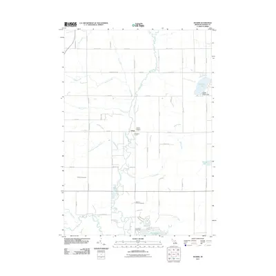 2011 Selkirk2011 Print · USGSCovers Cumming Township, including Logan Township, Churchill Township, and other nearby areas
 - 2011 Map of West Branch, 2011 Print
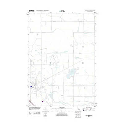 2011 West Branch2011 Print · USGSCovers Cumming Township, including West Branch, Klacking Township, and other nearby areas
 - 2012 Map of Rose City, 2012 Print
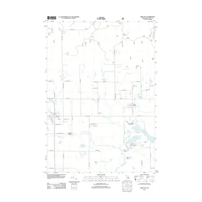 2012 Rose City2012 Print · USGSCovers Cumming Township, including Rose City, Rose Township, and other nearby areas
 - 2012 Map of Damon, 2012 Print
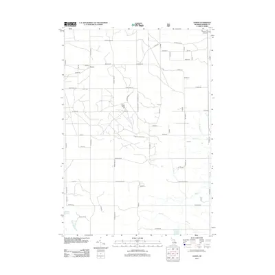 2012 Damon2012 Print · USGSCovers Cumming Township, including Rose City, Klacking Township, and other nearby areas
 - 2014 Map of Selkirk, 2014 Print
 2014 Selkirk2014 Print · USGSCovers Cumming Township, including Logan Township, Churchill Township, and other nearby areas
 - 2014 Map of Damon, 2014 Print
 2014 Damon2014 Print · USGSCovers Cumming Township, including Rose City, Klacking Township, and other nearby areas
 - 2014 Map of Rose City, 2014 Print
 2014 Rose City2014 Print · USGSCovers Cumming Township, including Rose City, Rose Township, and other nearby areas
 - 2014 Map of West Branch, 2014 Print
 2014 West Branch2014 Print · USGSCovers Cumming Township, including West Branch, Klacking Township, and other nearby areas
 - 2017 Map of Rose City, 2017 Print
 2017 Rose City2017 Print · USGSCovers Cumming Township, including Rose City, Rose Township, and other nearby areas
 - 2017 Map of Selkirk, 2017 Print
 2017 Selkirk2017 Print · USGSCovers Cumming Township, including Logan Township, Churchill Township, and other nearby areas
 - 2017 Map of West Branch, 2017 Print
 2017 West Branch2017 Print · USGSCovers Cumming Township, including West Branch, Klacking Township, and other nearby areas
 - 2017 Map of Damon, 2017 Print
 2017 Damon2017 Print · USGSCovers Cumming Township, including Rose City, Klacking Township, and other nearby areas
 - 2019 Map of Rose City, 2019 Print
 2019 Rose City2019 Print · USGSCovers Cumming Township, including Rose City, Rose Township, and other nearby areas
 - 2019 Map of West Branch, 2019 Print
 2019 West Branch2019 Print · USGSCovers Cumming Township, including West Branch, Klacking Township, and other nearby areas
 - 2019 Map of Selkirk, 2019 Print
 2019 Selkirk2019 Print · USGSCovers Cumming Township, including Logan Township, Churchill Township, and other nearby areas
 - 2019 Map of Damon, 2019 Print
 2019 Damon2019 Print · USGSCovers Cumming Township, including Rose City, Klacking Township, and other nearby areas
 - 2023 Map of Rose City, 2023 Print
 2023 Rose City2023 Print · USGSRose City and Lupton sit at the gateway to the North Woods in this modern topographic study of Ogemaw County. Researchers can trace local lineage at Rose City Cem and Lane Heights Cem or explore the lake-rich landscape of the Rifle River State Recreation Area.
Showing maps 1-25 of 28
Top cities near Cumming Township
- Skidway Lake historical maps
- West Branch historical maps
- Edwards historical maps
- Rose City historical maps
- Goodar historical maps
- Prescott historical maps
Top neighborhoods of Cumming Township
Frequently asked questions
- What are the different types of historical maps available for Cumming Township?
- What is the oldest map of Cumming Township?
- Where can I purchase historical maps of Cumming Township for my home or office?
- Where can I download high-res historical maps of Cumming Township?
- Are there historical topographic maps available for Cumming Township?
- Is there historical aerial imagery available for Cumming Township?
- Where are historical maps of Cumming Township sourced from?