2020s Maps of Foster Township, Michigan
Explore 6 historic maps of Foster Township from the 2020s. These maps offer a rare glimpse into what life looked like during the 2020s — showing old roads, neighborhoods, homes, and landmarks that have changed or disappeared over time.
Whether you're researching your family's past, planning a metal detecting trip, or studying how Foster Township's landscape evolved across the 2020s, these high-resolution maps are a powerful tool for exploring the history of this region.
- Focus on a specific era: All maps on this page are from the 2020s, giving you a focused view of this time period.
- See what’s changed: Compare century-old streets, trails, and buildings to today's modern landscape using overlays and satellite layers.
- Research with precision: Use these maps for genealogy, historical research, land use analysis, or educational projects.
- View, download, or print: Maps are fully viewable online in high resolution, and can be downloaded or printed for your own records.
Start exploring Foster Township's history through authentic maps from the 2020s. This is your window into the past.
Foster Township, MI maps
(6)- 2023 Map of Saint Helen NE, 2023 Print
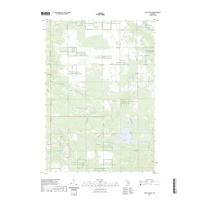 2023 Saint Helen NE2023 Print · USGSOgemaw County is shown as a major conservation landscape in this recent survey, centered on the protected habitats of Northern Michigan. Researchers can locate the Fisk Cem and trace the shores of Cutting and Damon Lakes, Clear Lake, and Bear Lake.
 - 2023 Map of Ogemaw Springs, 2023 Print
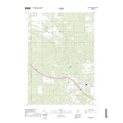 2023 Ogemaw Springs2023 Print · USGSOgemaw County in the early 2020s shows a balance of conservation land and rural development along the corridor between St. Helen and West Branch. Trace local landmarks like Ogemaw Springs, Beaver Lake Cem, and the expansive Kirtlands Warbler WMA.
 - 2023 Map of Island Lake, 2023 Print
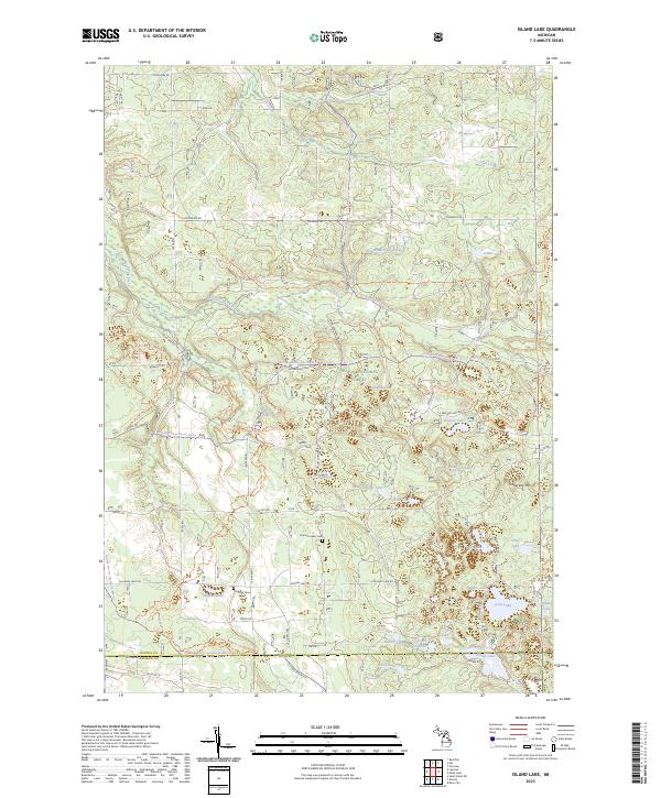 2023 Island Lake2023 Print · USGSOscoda County’s interior lake country is captured here during the early twenty-first century, showing a landscape defined by forest management and outdoor recreation. Genealogists and local historians can locate the Union Corners Cem and Hughes Grave among landmarks like Timberline Mtn.
 - 2023 Map of Damon, 2023 Print
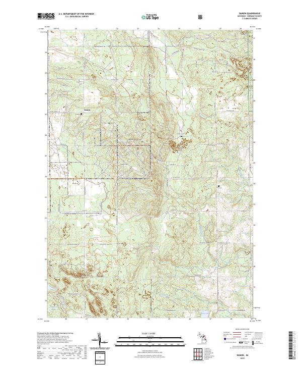 2023 Damon2023 Print · USGSOgemaw County’s forested interior is documented here in the 2020s, showing a landscape defined by wildlife management and the Huron National Forest. Researchers can locate the settlement of Damon and several local burial sites including Damon Cem and Tucker Cem.
 - 2023 Map of Luzerne, 2023 Print
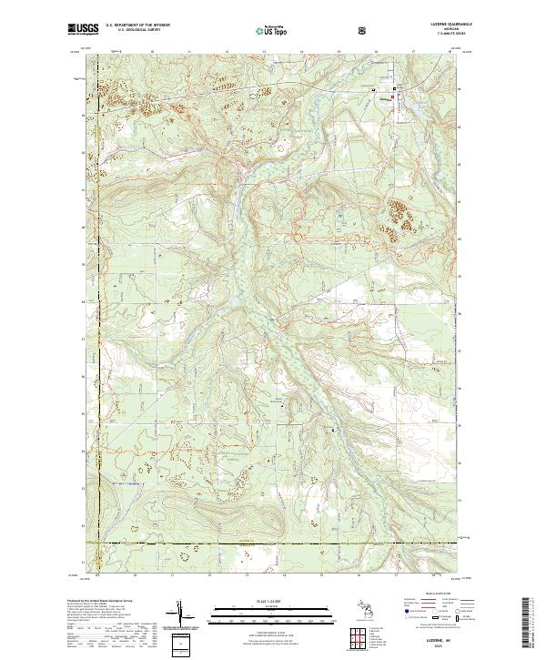 2023 Luzerne2023 Print · USGSOscoda County is characterized by protected woodlands and historic creek valleys in the early 2020s. Genealogists and hikers can trace the settlement at Luzerne, explore old burial sites like Indian Graves, or follow the Mi Shore To Shore Horse&Hike Trl.
 - 2023 Map of West Branch, 2023 Print
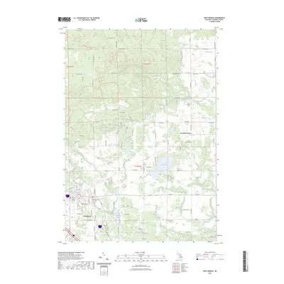 2023 West Branch2023 Print · USGSWest Branch and the surrounding Ogemaw County highlands are shown here in the early 2020s, highlighting a landscape shaped by the Rifle River. Genealogists can locate Brookside Cem and Campbells Corners Cem, while outdoor enthusiasts can trace the Ogemaw Hills Pathway Trl.
End of results
Showing maps 1-6 of 6
Top cities near Foster Township
Top neighborhoods of Foster Township
Frequently asked questions
- What are the different types of historical maps available for Foster Township?
- What is the oldest map of Foster Township?
- Where can I purchase historical maps of Foster Township for my home or office?
- Where can I download high-res historical maps of Foster Township?
- Are there historical topographic maps available for Foster Township?
- Is there historical aerial imagery available for Foster Township?
- Where are historical maps of Foster Township sourced from?