Old Maps of Burdell Township, Michigan for Genealogy
Trace your family roots with 15 historic maps of Burdell Township. These high-res maps reveal old neighborhoods, homesites, landmarks, and streets — helping you uncover where your ancestors lived and how the area evolved over time.
- Explore historic neighborhoods: Identify where your relatives may have lived in the 1800s or 1900s.
- Compare maps over time: Trace the changes in streets, buildings, and landmarks for multi-generational research.
- Perfect for genealogy & ancestry research: Used by family historians and researchers to map out lineage and migration.
These maps are an incredible resource for exploring your personal connection to Burdell Township's past.
Burdell Township, MI maps
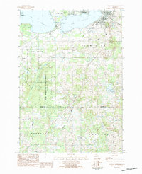
(15)- 1933 Map of Luther SE
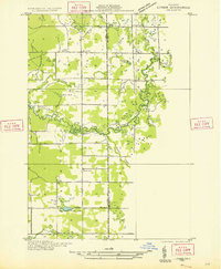 1933 Luther SE1933 Print · USGSCovers Burdell Township, including Bristol, Dover Township, and other nearby areas
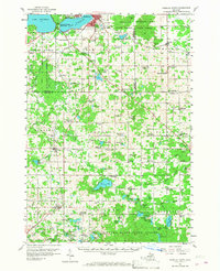
 - 1954 Map of Traverse City, 1965 Print
 1954 Traverse City1965 Print · USGSCovers Burdell Township, including Garfield Township, Garfield Charter Township, and other nearby areas4 unique versions available
 - 1957 Map of Cadillac South, 1958 Print
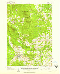
 1957 Cadillac South1958 Print · USGSCovers Burdell Township, including Cadillac, Highland, and other nearby areas3 unique versions available
 - 1957 Map of Luther, 1958 Print
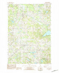
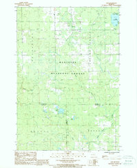
 1957 Luther1958 Print · USGSCovers Burdell Township, including Luther, Henderson Township, and other nearby areas4 unique versions available
 - 1958 Map of Traverse City
 1958 Traverse City1958 Print · USGSCovers Burdell Township, including Garfield Township, Garfield Charter Township, and other nearby areas2 unique versions available
 - 1983 Map of Cadillac, 1984 Print
 1983 Cadillac1984 Print · USGSCovers Burdell Township, including Cadillac, Haring Township, and other nearby areas
 - 1983 Map of Le Roy, 1984 Print
 1983 Le Roy1984 Print · USGSCovers Burdell Township, including LeRoy, Tustin, and other nearby areas
 - 1983 Map of Cadillac South, 1984 Print
 1983 Cadillac South1984 Print · USGSCovers Burdell Township, including Cadillac, Cherry Grove Township, and other nearby areas
 - 1987 Map of Axin, 1988 Print
 1987 Axin1988 Print · USGSCovers Burdell Township, including Henderson Township, Dover Township, and other nearby areas
 - 1987 Map of Bristol, 1988 Print
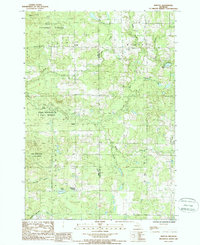 1987 Bristol1988 Print · USGSCovers Burdell Township, including Bristol, Dover Township, and other nearby areas
 - 1989 Map of Traverse City, 1990 Print
 1989 Traverse City1990 Print · USGSCovers Burdell Township, including Garfield Township, Garfield Charter Township, and other nearby areas
 - 2023 Map of Axin, 2023 Print
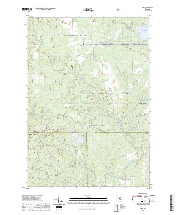 2023 Axin2023 Print · USGSCovers Burdell Township, including Henderson Township, Dover Township, and other nearby areas
 - 2023 Map of Bristol, 2023 Print
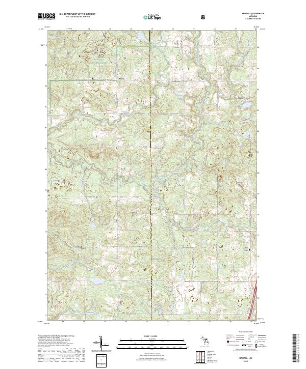 2023 Bristol2023 Print · USGSCovers Burdell Township, including Dover Township, Ellsworth Township, and other nearby areas
 - 2023 Map of Cadillac South, 2023 Print
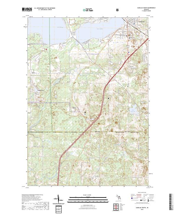 2023 Cadillac South2023 Print · USGSCovers Burdell Township, including Cadillac, Clam Lake Township, and other nearby areas
 - 2023 Map of Le Roy, 2023 Print
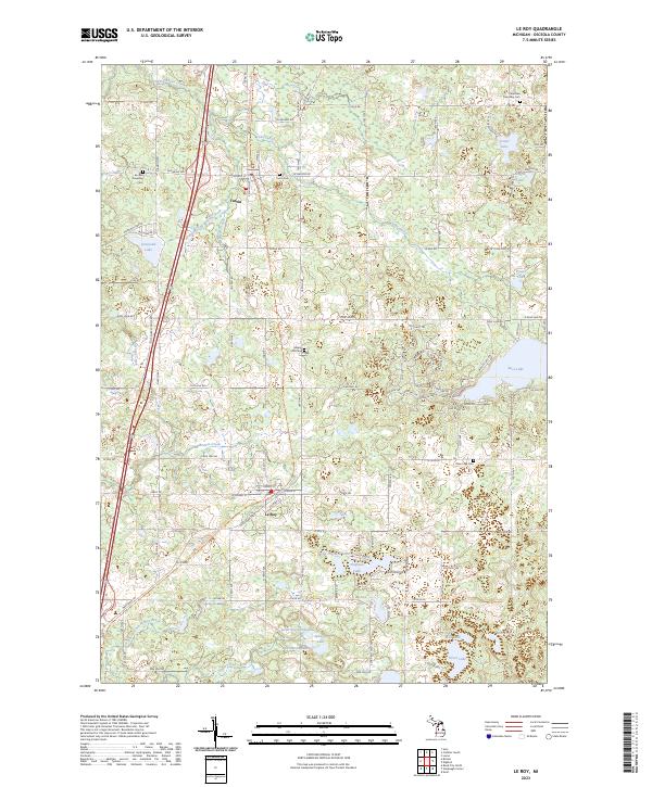 2023 Le Roy2023 Print · USGSCovers Burdell Township, including LeRoy, Tustin, and other nearby areas
End of results
Showing maps 1-15 of 15
Top cities near Burdell Township
- Cadillac historical maps
- Haring Charter Township historical maps
- Haring Township historical maps
- Evart historical maps
- Boon historical maps
- Luther historical maps
See more
Top neighborhoods of Burdell Township
Frequently asked questions
- What are the different types of historical maps available for Burdell Township?
- What is the oldest map of Burdell Township?
- Where can I purchase historical maps of Burdell Township for my home or office?
- Where can I download high-res historical maps of Burdell Township?
- Are there historical topographic maps available for Burdell Township?
- Is there historical aerial imagery available for Burdell Township?
- Where are historical maps of Burdell Township sourced from?