2000s (21st Century) Maps of Elmer Township, Michigan
Explore 20 historic maps of Elmer Township from the 2000s (21st Century). These maps offer a rare glimpse into what life looked like during the 2000s — showing old roads, neighborhoods, homes, and landmarks that have changed or disappeared over time.
Whether you're researching your family's past, planning a metal detecting trip, or studying how Elmer Township's landscape evolved across the 2000s, these high-resolution maps are a powerful tool for exploring the history of this region.
- Focus on a specific era: All maps on this page are from the 2000s, giving you a focused view of this time period.
- See what’s changed: Compare century-old streets, trails, and buildings to today's modern landscape using overlays and satellite layers.
- Research with precision: Use these maps for genealogy, historical research, land use analysis, or educational projects.
- View, download, or print: Maps are fully viewable online in high resolution, and can be downloaded or printed for your own records.
Start exploring Elmer Township's history through authentic maps from the 2000s. This is your window into the past.
Elmer Township, MI maps
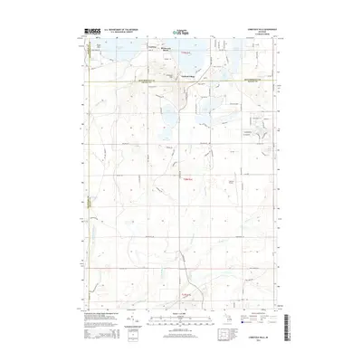
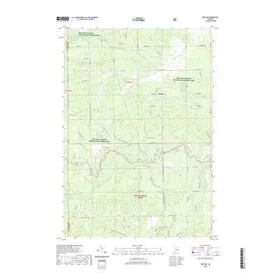
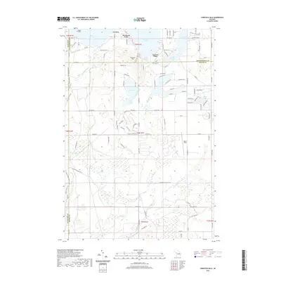
(20)- 2011 Map of Comstock Hills, 2011 Print
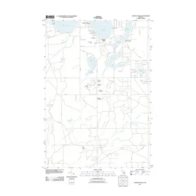 2011 Comstock Hills2011 Print · USGSCovers Elmer Township, including Albert Township, Lovells Township, and other nearby areas
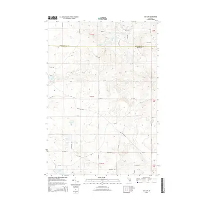
 - 2011 Map of Oak Lake, 2011 Print
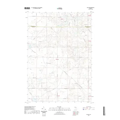
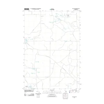 2011 Oak Lake2011 Print · USGSCovers Elmer Township, including Loud Township, Albert Township, and other nearby areas
 - 2012 Map of Red Oak, 2012 Print
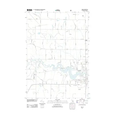
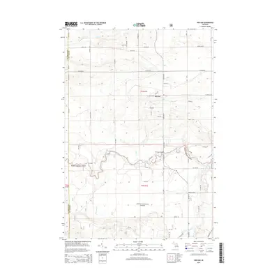
 2012 Red Oak2012 Print · USGSCovers Elmer Township, including Big Creek Township, Lovells Township, and other nearby areas
 - 2012 Map of Mio, 2012 Print
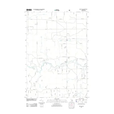
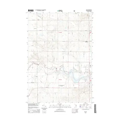
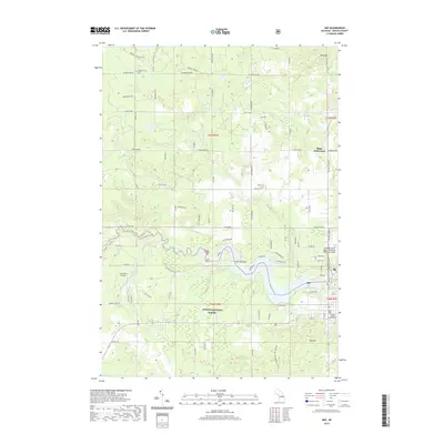
 2012 Mio2012 Print · USGSCovers Elmer Township, including Mio, Big Creek Township, and other nearby areas
 - 2014 Map of Comstock Hills, 2014 Print
 2014 Comstock Hills2014 Print · USGSCovers Elmer Township, including Albert Township, Lovells Township, and other nearby areas
 - 2014 Map of Oak Lake, 2014 Print
 2014 Oak Lake2014 Print · USGSCovers Elmer Township, including Loud Township, Albert Township, and other nearby areas
 - 2014 Map of Mio, 2014 Print
 2014 Mio2014 Print · USGSCovers Elmer Township, including Mio, Big Creek Township, and other nearby areas
 - 2014 Map of Red Oak, 2014 Print
 2014 Red Oak2014 Print · USGSCovers Elmer Township, including Big Creek Township, Lovells Township, and other nearby areas
 - 2017 Map of Red Oak, 2017 Print
 2017 Red Oak2017 Print · USGSCovers Elmer Township, including Big Creek Township, Lovells Township, and other nearby areas
 - 2017 Map of Oak Lake, 2017 Print
 2017 Oak Lake2017 Print · USGSCovers Elmer Township, including Loud Township, Albert Township, and other nearby areas
 - 2017 Map of Mio, 2017 Print
 2017 Mio2017 Print · USGSCovers Elmer Township, including Mio, Big Creek Township, and other nearby areas
 - 2017 Map of Comstock Hills, 2017 Print
 2017 Comstock Hills2017 Print · USGSCovers Elmer Township, including Albert Township, Lovells Township, and other nearby areas
 - 2019 Map of Red Oak, 2019 Print
 2019 Red Oak2019 Print · USGSCovers Elmer Township, including Big Creek Township, Lovells Township, and other nearby areas
 - 2019 Map of Mio, 2019 Print
 2019 Mio2019 Print · USGSCovers Elmer Township, including Mio, Big Creek Township, and other nearby areas
 - 2019 Map of Comstock Hills, 2019 Print
 2019 Comstock Hills2019 Print · USGSCovers Elmer Township, including Albert Township, Lovells Township, and other nearby areas
 - 2019 Map of Oak Lake, 2019 Print
 2019 Oak Lake2019 Print · USGSCovers Elmer Township, including Loud Township, Albert Township, and other nearby areas
 - 2023 Map of Oak Lake, 2023 Print
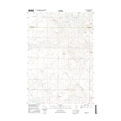
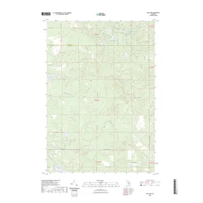 2023 Oak Lake2023 Print · USGSThe borderlands of Oscoda and Montmorency Counties are shown here in the early 2020s, dominated by a dense network of glacial lakes and marshy lowlands. Researchers can trace recreational and timber access routes like Mio Trl or locate family landmarks near Oak Lake and Bushman Swamp.
 - 2023 Map of Red Oak, 2023 Print
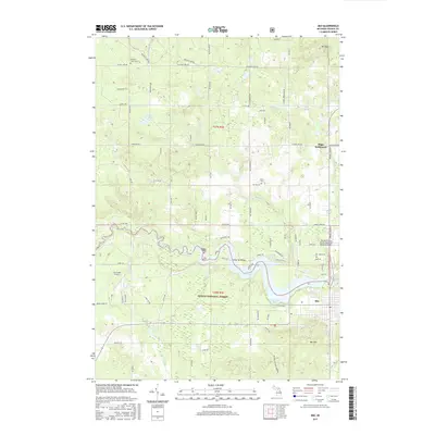
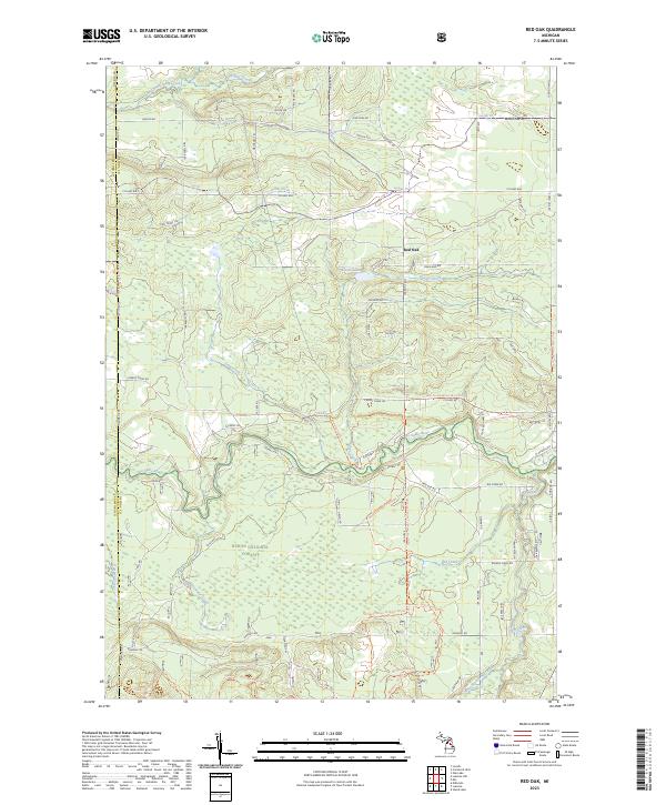 2023 Red Oak2023 Print · USGSOscoda and Crawford counties are shown here in the 2020s, a landscape defined by the winding Au Sable River and deep forest management. Researchers can trace recreation trails and local landmarks like Red Oak, Glenn Lake, and the Huron National Forest.
 - 2023 Map of Comstock Hills, 2023 Print
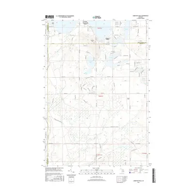
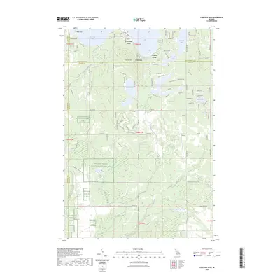 2023 Comstock Hills2023 Print · USGSNorthern Michigan's lake country and protected bird habitats are surveyed in this 2023 map of Oscoda County. Trace local developments around Lewiston or locate landmarks like Lake Big Wolf and the Eagle II Airport.
 - 2023 Map of Mio, 2023 Print
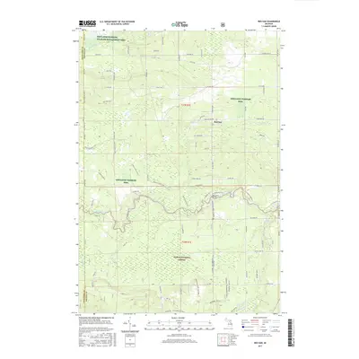
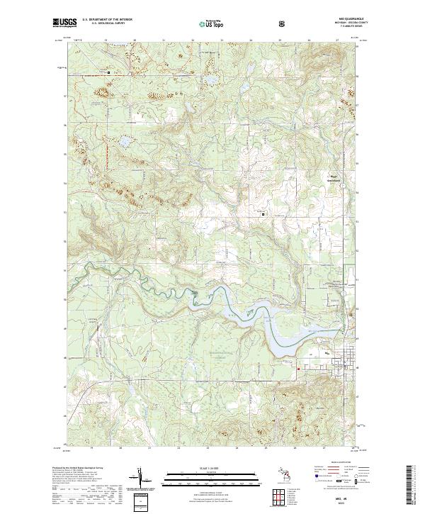 2023 Mio2023 Print · USGSThe Au Sable River and the Huron National Forest define this corner of Oscoda County in the 2020s. Researchers can locate the Oscoda County Courthouse in Mio, trace family history at Kittle Cem, or explore the environs of Biggs Settlement.
End of results
Showing maps 1-20 of 20
Top cities near Elmer Township
Frequently asked questions
- What are the different types of historical maps available for Elmer Township?
- What is the oldest map of Elmer Township?
- Where can I purchase historical maps of Elmer Township for my home or office?
- Where can I download high-res historical maps of Elmer Township?
- Are there historical topographic maps available for Elmer Township?
- Is there historical aerial imagery available for Elmer Township?
- Where are historical maps of Elmer Township sourced from?