Old Maps of Ocqueoc Township, Michigan for Metal Detecting
Plan your next treasure hunt with 41 historic maps of Ocqueoc Township. Find old homesites, ghost towns, trails, and gathering spots that may be lost to time — perfect for identifying promising metal detecting locations.
- Locate forgotten sites: Uncover places like long-lost settlements, abandoned rail lines, or gathering spots.
- Plan better hunts: Use map overlays combined with LiDAR or satellite views to narrow in on historically rich areas.
- Made for detectorists: Thousands of hobbyists use these maps to discover relics, coins, and hidden history.
Use these historic maps to boost your research and find new opportunities beneath the surface of Ocqueoc Township.
Ocqueoc Township, MI maps
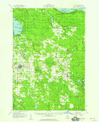
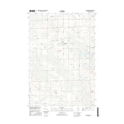
(41)- 1955 Map of Cheboygan, 1964 Print
 1955 Cheboygan1964 Print · USGSNorthern Michigan in the mid-fifties is a landscape of dense timber and deep water, showing the region just as the road network began to modernize. Trace family roots in lakeside towns like St Ignace and Petoskey, or follow the historic tracks of the Pennsylvania RR and New York Central RR.5 unique versions available
 - 1957 Map of Onaway, 1959 Print
 1957 Onaway1959 Print · USGSNorthern Michigan's timber and rail country is captured here in the late fifties, centered on the community of Onaway. Genealogists and historians can trace the Detroit and Mackinac railroad line, find old schools like Vibber Sch, and locate family plots in North Allis Cem.2 unique versions available
 - 1958 Map of Cheboygan
 1958 Cheboygan1958 Print · USGSThe tip of Michigan's Lower Peninsula and the surrounding Great Lakes islands are shown here in the late fifties, during the peak of the rail-and-ferry era. Trace the paths of the Pennsylvania RR and explore lakeside settlements like St James, Petoskey, and Indian River.2 unique versions available
 - 1958 Map of Grace, 1959 Print
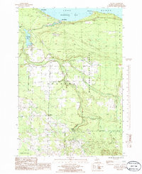
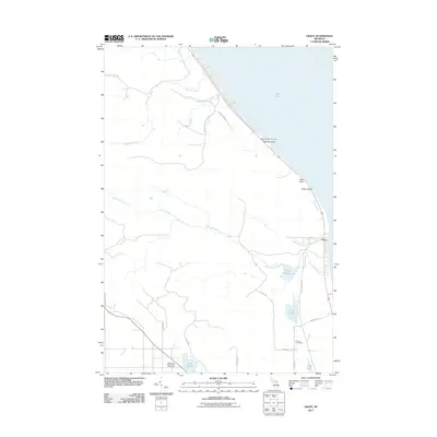
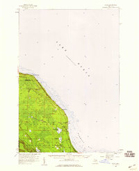 1958 Grace1959 Print · USGSThe northern coast of Presque Isle County is captured in the late fifties as a landscape of dense state forests and quiet bay shores. Researchers can locate the Grace Cem, the Huron Beach Ch, and the small settlement at Greene.
 - 1982 Map of Petoskey
 1982 Petoskey1982 Print · USGSNorthern Michigan in the early eighties shows a landscape of deep timber and vast inland lakes. Genealogists and historians can trace the rail corridors of the Michigan Central and Detroit and Mackinac between Petoskey, Gaylord, and Wolverine.
 - 1982 Map of Grace, 1983 Print
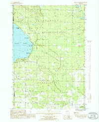
 1982 Grace1983 Print · USGSCoastal Presque Isle County meets the shoreline of the Great Lakes in the early 1980s, showcasing a landscape defined by state forests and northern waters. Local historians can trace the lakeside settlements of Grace and Huron Beach or locate the Township Cem near Clear Lake.
 - 1984 Map of Cheboygan, 1985 Print
 1984 Cheboygan1985 Print · USGSThe Straits of Mackinac and the northern tip of Michigan's Lower Peninsula are shown here in the mid-1980s. Local researchers can trace family landmarks and rural crossroads from St Ignace to Cheboygan, including Riggsville and Levering.
 - 1986 Map of Onaway
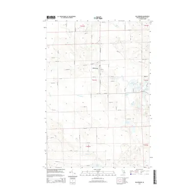
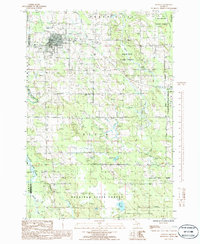 1986 Onaway1986 Print · USGSIn the mid-1980s, the northern Michigan community of Onaway sat at the edge of the sprawling Mackinaw State Forest. Researchers can trace the path of an Abandoned Railroad or locate local landmarks like Loon Lake and the Cem near the county line.
 - 1986 Map of Millersburg
 1986 Millersburg1986 Print · USGSPresque Isle County in the mid-1980s is shown here as a dense network of state forests and inland lakes centered on the village of Millersburg. Trace old rural infrastructure and shoreline properties at Lake Nettie, Rainy Lake, and the locality of Big Cut.
 - 1986 Map of Ocqueoc
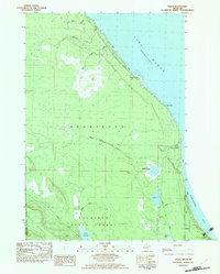
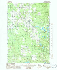
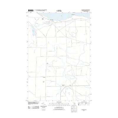
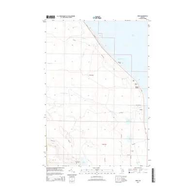
 1986 Ocqueoc1986 Print · USGSCoastal Presque Isle County is captured here in the mid-1980s, showcasing the intersection of Lake Huron shorelines and deep state forests. Researchers can trace the path of the Ocqueoc River to Ocqueoc Falls or locate the shoreline community of Huron Beach.
 - 1986 Map of Black Lake Bluffs
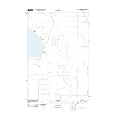
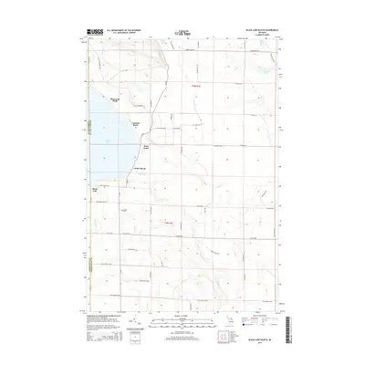
 1986 Black Lake Bluffs1986 Print · USGSThe southeastern shores of Black Lake are captured here in the mid-1980s, showcasing a landscape of public forests and lakefront settlements. Genealogists and researchers can trace the Old RR Grade or locate early recreation sites like Onaway State Park and Coddes Beach.
 - 2011 Map of Black Lake Bluffs, 2011 Print
 2011 Black Lake Bluffs2011 Print · USGSCovers Ocqueoc Township, including Waverly Township, Black Lake Bluffs, and other nearby areas
 - 2011 Map of Ocqueoc, 2011 Print
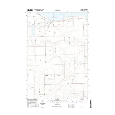
 2011 Ocqueoc2011 Print · USGSCovers Ocqueoc Township, including Ocqueoc, Moltke Township, and other nearby areas
 - 2011 Map of Grace OE E, 2011 Print
 2011 Grace OE E2011 Print · USGSCovers Ocqueoc Township, including Bearinger Township, Presque Isle County, and other nearby areas
 - 2011 Map of Onaway, 2011 Print
 2011 Onaway2011 Print · USGSCovers Ocqueoc Township, including Onaway, Case Township, and other nearby areas
 - 2011 Map of Millersburg, 2011 Print
 2011 Millersburg2011 Print · USGSCovers Ocqueoc Township, including Millersburg, Moltke Township, and other nearby areas
 - 2011 Map of Grace, 2011 Print
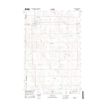
 2011 Grace2011 Print · USGSCovers Ocqueoc Township, including Grace, Bearinger Township, and other nearby areas
 - 2014 Map of Onaway, 2014 Print
 2014 Onaway2014 Print · USGSCovers Ocqueoc Township, including Onaway, Case Township, and other nearby areas
 - 2014 Map of Grace OE E, 2014 Print
 2014 Grace OE E2014 Print · USGSCovers Ocqueoc Township, including Bearinger Township, Presque Isle County, and other nearby areas
 - 2014 Map of Ocqueoc, 2014 Print
 2014 Ocqueoc2014 Print · USGSCovers Ocqueoc Township, including Ocqueoc, Moltke Township, and other nearby areas
 - 2014 Map of Grace, 2014 Print
 2014 Grace2014 Print · USGSCovers Ocqueoc Township, including Grace, Bearinger Township, and other nearby areas
 - 2014 Map of Black Lake Bluffs, 2014 Print
 2014 Black Lake Bluffs2014 Print · USGSCovers Ocqueoc Township, including Waverly Township, Black Lake Bluffs, and other nearby areas
 - 2014 Map of Millersburg, 2014 Print
 2014 Millersburg2014 Print · USGSCovers Ocqueoc Township, including Millersburg, Moltke Township, and other nearby areas
 - 2017 Map of Grace OE E, 2017 Print
 2017 Grace OE E2017 Print · USGSCovers Ocqueoc Township, including Bearinger Township, Presque Isle County, and other nearby areas
 - 2017 Map of Millersburg, 2017 Print
 2017 Millersburg2017 Print · USGSCovers Ocqueoc Township, including Millersburg, Moltke Township, and other nearby areas
Showing maps 1-25 of 41
Top cities near Ocqueoc Township
- Rogers City historical maps
- Onaway historical maps
- Belknap historical maps
- Ocqueoc historical maps
- Moltke historical maps
- Millersburg historical maps
Top neighborhoods of Ocqueoc Township
- Huron Beach historical maps
- Bell Landing historical maps
- Hammond historical maps
- Ocqueoc historical maps
Frequently asked questions
- What are the different types of historical maps available for Ocqueoc Township?
- What is the oldest map of Ocqueoc Township?
- Where can I purchase historical maps of Ocqueoc Township for my home or office?
- Where can I download high-res historical maps of Ocqueoc Township?
- Are there historical topographic maps available for Ocqueoc Township?
- Is there historical aerial imagery available for Ocqueoc Township?
- Where are historical maps of Ocqueoc Township sourced from?