1900s (20th Century) Maps of Roscommon County, Michigan
Explore 30 historic maps of Roscommon County from the 1900s (20th Century). These maps offer a rare glimpse into what life looked like during the 1900s — showing old roads, neighborhoods, homes, and landmarks that have changed or disappeared over time.
Whether you're researching your family's past, planning a metal detecting trip, or studying how Roscommon County's landscape evolved across the 1900s, these high-resolution maps are a powerful tool for exploring the history of this region.
- Focus on a specific era: All maps on this page are from the 1900s, giving you a focused view of this time period.
- See what’s changed: Compare century-old streets, trails, and buildings to today's modern landscape using overlays and satellite layers.
- Research with precision: Use these maps for genealogy, historical research, land use analysis, or educational projects.
- View, download, or print: Maps are fully viewable online in high resolution, and can be downloaded or printed for your own records.
Start exploring Roscommon County's history through authentic maps from the 1900s. This is your window into the past.
Roscommon County, MI maps
(30)- 1949 Map of Fletcher, 1955 Print
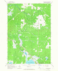
 1949 Fletcher1955 Print · USGSUpper Michigan's glacial interior is revealed here just after the war, showing the early infrastructure of the Camp Grayling area. Genealogists and historians can trace the New York Central tracks, the settlement of Fletcher, and local landmarks like Beaver Creek Cem.
 - 1949 Map of Grayling, 1955 Print
 1949 Grayling1955 Print · USGSCrawford County was a hub of military training and timber-country life in the late 1940s. Genealogists can locate family names at Cheney Cem or trace rural education at Beaver Creek Sch and the Dept of Conservation Training School.
 - 1950 Map of Cote Dame Marie, 1953 Print
 1950 Cote Dame Marie1953 Print · USGSMid-century northern Michigan comes to life in this study of the hills and forests west of Higgins Lake. Genealogists and local historians can trace family landmarks like the Beaver Creek Cem, Beaver Creek Sch, and the unique early settlement at Tent City.4 unique versions available
 - 1950 Map of Roscommon North, 1978 Print
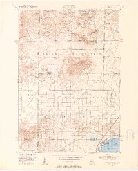
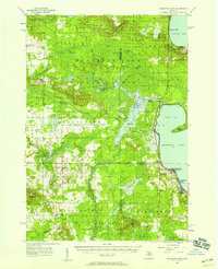
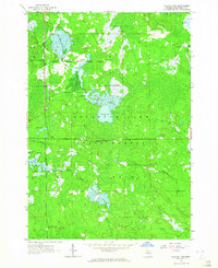
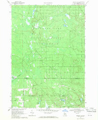
 1950 Roscommon North1978 Print · USGSCrawford and Roscommon Counties in the mid-century were defined by the deep woods of the National Forest and the waters of the Au Sable. Researchers can trace the legacy of early settlers at Pioneer Cemetery or locate old industrial sites like the local Sawmill and Northern Block and Supply Company.2 unique versions available
 - 1951 Map of Roscommon North
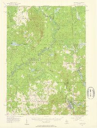
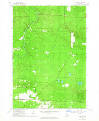
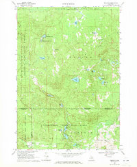
 1951 Roscommon North1951 Print · USGSCrawford and Roscommon counties appear here in the early fifties, where the Au Sable River system shaped local life and recreation. Researchers can trace family roots at the Pioneer Cemetery or locate old forest landmarks like South Branch Ranch and Bell Top Lodge.2 unique versions available
 - 1951 Map of Pere Cheney
 1951 Pere Cheney1951 Print · USGSThe Crawford County backcountry in the early fifties shows a landscape of remote rail sidings and emerging lakeside resorts. Genealogists can locate family landmarks like Rockefellers Cabins, the Cheney Cemetery, and the Beaver Creek School.3 unique versions available
 - 1954 Map of Traverse City, 1965 Print
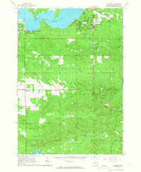
 1954 Traverse City1965 Print · USGSNorthern Michigan’s vast lakeshores and timberlands are captured here in the mid-fifties, showing the region before the modern interstate era. Genealogists and researchers can trace rail connections like the Detroit and Mackinac RR or find old communities such as Suttons Bay, Elk Rapids, and Prudenville.4 unique versions available
 - 1956 Map of Houghton Lake, 1958 Print
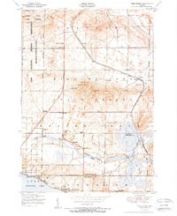
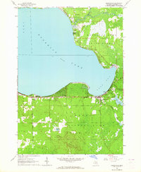
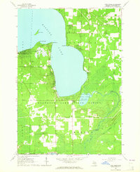
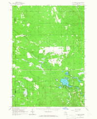
 1956 Houghton Lake1958 Print · USGSHoughton Lake and its surrounding marshlands are shown here in the mid-fifties, just as tourism and conservation efforts were reshaping the region. Genealogists can trace family names at Star City Cem and Butterfield Cem or locate the site of the Anderson Sch (Abandoned).3 unique versions available
 - 1957 Map of Harrison, 1958 Print
 1957 Harrison1958 Print · USGSHarrison and the Houghton Lake State Forest appear here in the late fifties, showcasing a region of timber, oil, and quiet lakeside settlements. Researchers can trace rural life through the Latter Day Saints Ch, Summerfield Cem, and the old Doty Sch.2 unique versions available
 - 1958 Map of Traverse City
 1958 Traverse City1958 Print · USGSNorthern Lower Michigan was a landscape of vast state forests and burgeoning lakeside retreats in the late fifties. Genealogists and historians can trace the rail corridors of the Ann Arbor RR and find established settlements from Elk Rapids to Houghton Lake.2 unique versions available
 - 1963 Map of Luzerne, 1964 Print
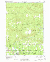
 1963 Luzerne1964 Print · USGSOscoda County's forested interior is captured here in the early 1960s, showing the intersection of three major state and national forests. Genealogists and outdoorsmen can trace the early layout of Luzerne, the local Cem, and landmarks like the Luzerne Lookout Tower.
 - 1963 Map of Roscommon South, 1964 Print
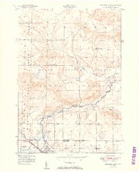
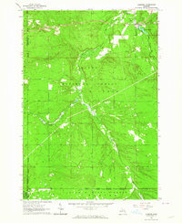
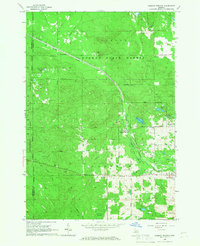
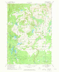
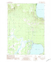
 1963 Roscommon South1964 Print · USGSRoscommon and the surrounding state forest are seen here in the early sixties as a center for transport and forestry. Trace local roots at the Township Cem, follow the New York Central tracks, or locate the Robinson Creek Dam and Bambi Lake.2 unique versions available
 - 1963 Map of Backus Lake, 1964 Print
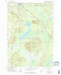
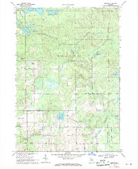
 1963 Backus Lake1964 Print · USGSRoscommon County was a landscape of managed wetlands and state forests during the early 1960s. Outdoorsmen and local historians can trace the development of flooding areas like Backus Lake Flooding and find landmarks such as the Kingdom Hall and Ninemile Hill Swamp.3 unique versions available
 - 1963 Map of Eldorado, 1964 Print
 1963 Eldorado1964 Print · USGSCrawford and Roscommon counties were characterized by vast state and national forests and river-driven recreation in the early 1960s. Researchers can trace the legacy of logging and early conservation through landmarks like the Roscommon Lookout Tower, Mason Chapel, and the settlement of Eldorado.3 unique versions available
 - 1963 Map of Prudenville, 1964 Print
 1963 Prudenville1964 Print · USGSPrudenville and the southeastern shores of Houghton Lake are captured here during the mid-1960s, showing a landscape of lakeside growth and forest preserves. Genealogists and researchers can locate family sites near Prudenville Cem, Lake James, and the North Shore Sch.2 unique versions available
 - 1963 Map of Lyon Manor, 1964 Print
 1963 Lyon Manor1964 Print · USGSHiggins Lake and the surrounding Roscommon County woodlands are captured here in the early 1960s. Genealogists and local historians can trace the growth of Lyon Manor or locate historic landmarks like the Township Cem, Markey Ch, and Sharps Corners.3 unique versions available
 - 1965 Map of St. Helen NW, 1966 Print
 1965 St. Helen NW1966 Print · USGSThe Au Sable River headwaters and the sprawling Au Sable State Forest define this mid-1960s Roscommon County landscape. Genealogists and historians can trace old logging routes like the Old Railroad Grade and locate early settlements such as Geels, Keno, and St Helen.2 unique versions available
 - 1965 Map of St. Helen NE, 1966 Print
 1965 St. Helen NE1966 Print · USGSOgemaw County's transition from timber harvesting to recreational forest is evident in this mid-sixties survey. Researchers can trace historic land use through the Old Railroad Grade, find family sites near Fisk Cem, and locate the Oil Well and Claypit that supported the local economy.2 unique versions available
 - 1965 Map of St. Helen, 1966 Print
 1965 St. Helen1966 Print · USGSThe lakeside community of St. Helen and the surrounding state forest are captured here in the mid-1960s. Researchers can trace the New York Central Railroad corridor and locate local landmarks like Fairview Cem and Artesia Beach.2 unique versions available
 - 1965 Map of Ogemaw Springs, 1966 Print
 1965 Ogemaw Springs1966 Print · USGSOgemaw County in the mid-1960s reveals a landscape of state forests, rail lines, and scattered rural landmarks. Genealogists and local historians can locate the Beaver Lake Cem, the Pleasant Hill Sch, and a notable Indian Mound near Ogemaw Springs.2 unique versions available
 - 1969 Map of Meredith NW, 1971 Print
 1969 Meredith NW1971 Print · USGSThe Roscommon and Clare county line was a quiet landscape of forest and water in the late sixties. Researchers can trace the legacy of Michigan logging and industry via the Old Railroad Grade, the Meredith Grade, and the Headquarters Oil and Gas Field Road.2 unique versions available
 - 1969 Map of Meredith, 1971 Print
 1969 Meredith1971 Print · USGSThe woodlands around Meredith were a nexus of state forest lands and glacial lakes in the late 1960s. Researchers can trace early roads and local landmarks like the Meredith Drive-in Theater, Hoister Lake, and the winding Sugar River.2 unique versions available
 - 1969 Map of Edwards, 1971 Print
 1969 Edwards1971 Print · USGSCentral Michigan's lake-studded woodlands are captured here in the late sixties at the intersection of Ogemaw, Roscommon, and Gladwin counties. Genealogists and local historians can trace family-named routes and community landmarks like Edwards Cem, Oak Grove Ch, and the settlement of Edwards.
 - 1969 Map of Butman, 1971 Print
 1969 Butman1971 Print · USGSThe northern Michigan woods at the turn of the 1970s reveal a landscape of timber, water, and early oil exploration. Genealogists and historians can trace the rural community of Butman, locate the Butman Cem, and follow the banks of the Sugar River.
 - 1983 Map of Meads Landing, 1984 Print
 1983 Meads Landing1984 Print · USGSUpper Michigan's lake country in the early eighties shows a landscape of state forests and sprawling wetlands between the Great Lakes. You can locate family history at Heidemann Cem, trace the oil production at the Enterprise Oil Field, or find old river crossings near the Covered Bridge.
Showing maps 1-25 of 30
Frequently asked questions
- What are the different types of historical maps available for Roscommon County?
- What is the oldest map of Roscommon County?
- Where can I purchase historical maps of Roscommon County for my home or office?
- Where can I download high-res historical maps of Roscommon County?
- Are there historical topographic maps available for Roscommon County?
- Is there historical aerial imagery available for Roscommon County?
- Where are historical maps of Roscommon County sourced from?