Old Maps of Denton Township, Michigan for Genealogy
Trace your family roots with 28 historic maps of Denton Township. These high-res maps reveal old neighborhoods, homesites, landmarks, and streets — helping you uncover where your ancestors lived and how the area evolved over time.
- Explore historic neighborhoods: Identify where your relatives may have lived in the 1800s or 1900s.
- Compare maps over time: Trace the changes in streets, buildings, and landmarks for multi-generational research.
- Perfect for genealogy & ancestry research: Used by family historians and researchers to map out lineage and migration.
These maps are an incredible resource for exploring your personal connection to Denton Township's past.
Denton Township, MI maps
(28)- 1954 Map of Traverse City, 1965 Print
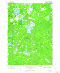
 1954 Traverse City1965 Print · USGSNorthern Michigan’s vast lakeshores and timberlands are captured here in the mid-fifties, showing the region before the modern interstate era. Genealogists and researchers can trace rail connections like the Detroit and Mackinac RR or find old communities such as Suttons Bay, Elk Rapids, and Prudenville.4 unique versions available
 - 1958 Map of Traverse City
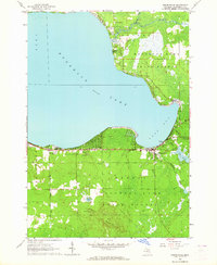
 1958 Traverse City1958 Print · USGSNorthern Lower Michigan was a landscape of vast state forests and burgeoning lakeside retreats in the late fifties. Genealogists and historians can trace the rail corridors of the Ann Arbor RR and find established settlements from Elk Rapids to Houghton Lake.2 unique versions available
 - 1963 Map of Backus Lake, 1964 Print
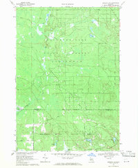
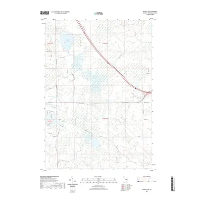
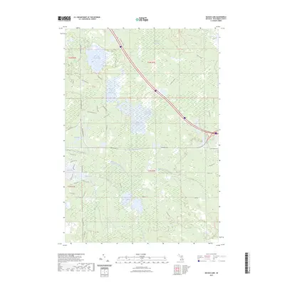
 1963 Backus Lake1964 Print · USGSRoscommon County was a landscape of managed wetlands and state forests during the early 1960s. Outdoorsmen and local historians can trace the development of flooding areas like Backus Lake Flooding and find landmarks such as the Kingdom Hall and Ninemile Hill Swamp.3 unique versions available
 - 1963 Map of Prudenville, 1964 Print
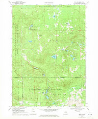
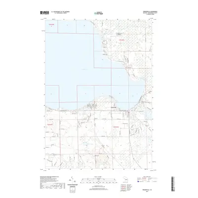
 1963 Prudenville1964 Print · USGSPrudenville and the southeastern shores of Houghton Lake are captured here during the mid-1960s, showing a landscape of lakeside growth and forest preserves. Genealogists and researchers can locate family sites near Prudenville Cem, Lake James, and the North Shore Sch.2 unique versions available
 - 1969 Map of Meredith NW, 1971 Print
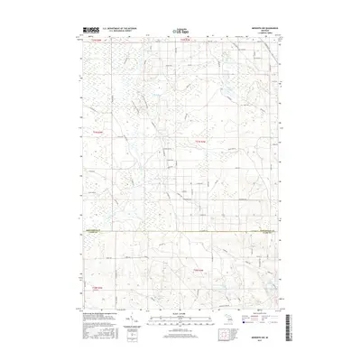
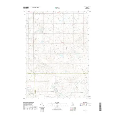
 1969 Meredith NW1971 Print · USGSThe Roscommon and Clare county line was a quiet landscape of forest and water in the late sixties. Researchers can trace the legacy of Michigan logging and industry via the Old Railroad Grade, the Meredith Grade, and the Headquarters Oil and Gas Field Road.2 unique versions available
 - 1969 Map of Meredith, 1971 Print
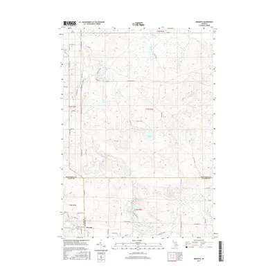
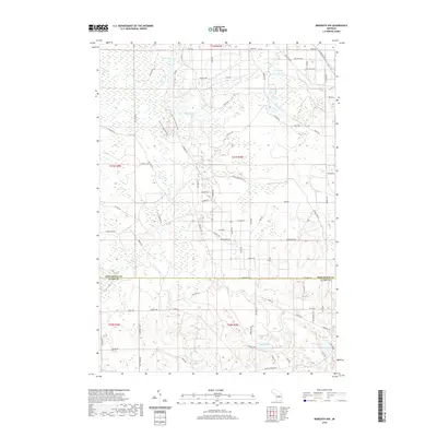
 1969 Meredith1971 Print · USGSThe woodlands around Meredith were a nexus of state forest lands and glacial lakes in the late 1960s. Researchers can trace early roads and local landmarks like the Meredith Drive-in Theater, Hoister Lake, and the winding Sugar River.2 unique versions available
 - 1983 Map of Houghton Lake, 1984 Print
 1983 Houghton Lake1984 Print · USGSIn the early 1980s, the Michigan heartland around Houghton Lake was a patchwork of state forest and growing lakeside resorts. Genealogists and historians can trace the development of communities like West Branch and Rose City alongside landmarks like Roscommon County Airfield.
 - 1989 Map of Traverse City, 1990 Print
 1989 Traverse City1990 Print · USGSNorthern Michigan’s lake-country and forest lands are captured in the late eighties as seasonal tourism and timber hubs expanded. Genealogists and historians can trace the routes of the Ann Arbor RR, the boundaries of Camp Grayling, and settlements like Elk Rapids and Manton.
 - 2011 Map of Prudenville, 2011 Print
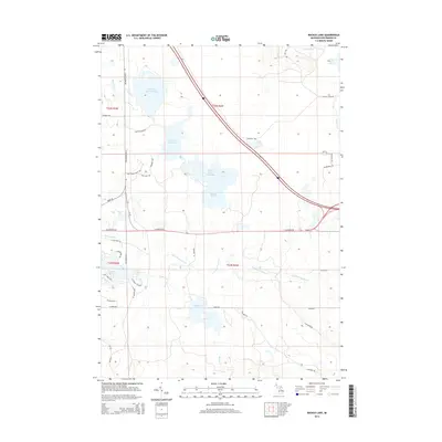
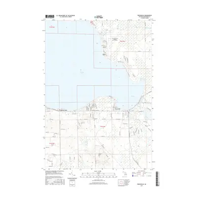
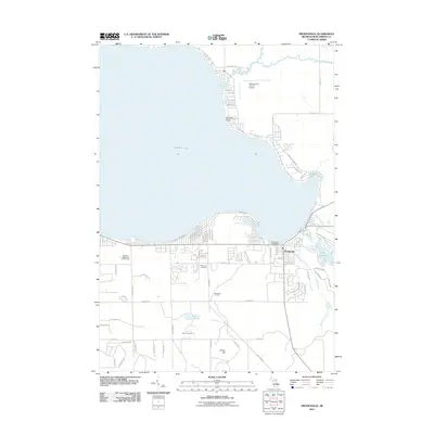 2011 Prudenville2011 Print · USGSCovers Denton Township, including Prudenville, Markey Township, and other nearby areas
 - 2011 Map of Backus Lake, 2011 Print
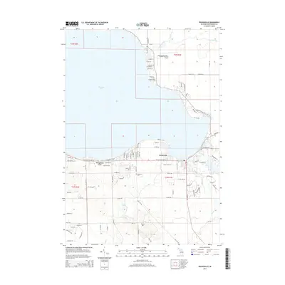
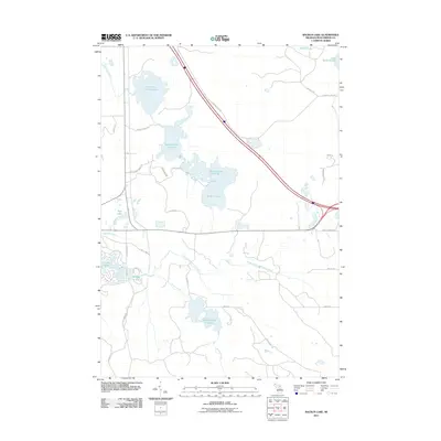 2011 Backus Lake2011 Print · USGSCovers Denton Township, including Higgins Township, Markey Township, and other nearby areas
 - 2011 Map of Meredith NW, 2011 Print
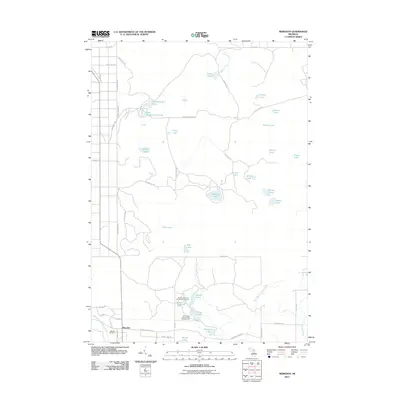
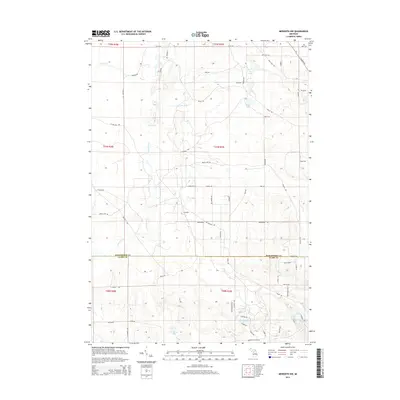
 2011 Meredith NW2011 Print · USGSCovers Denton Township, including Frost Township, Franklin Township, and other nearby areas
 - 2011 Map of Meredith, 2011 Print
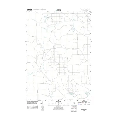
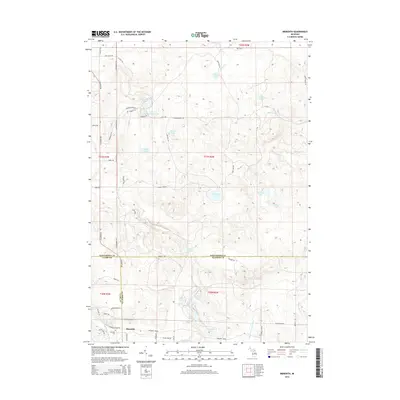
 2011 Meredith2011 Print · USGSCovers Denton Township, including Sherman Township, Nester Township, and other nearby areas
 - 2014 Map of Backus Lake, 2014 Print
 2014 Backus Lake2014 Print · USGSCovers Denton Township, including Higgins Township, Markey Township, and other nearby areas
 - 2014 Map of Prudenville, 2014 Print
 2014 Prudenville2014 Print · USGSCovers Denton Township, including Prudenville, Markey Township, and other nearby areas
 - 2014 Map of Meredith NW, 2014 Print
 2014 Meredith NW2014 Print · USGSCovers Denton Township, including Frost Township, Franklin Township, and other nearby areas
 - 2014 Map of Meredith, 2014 Print
 2014 Meredith2014 Print · USGSCovers Denton Township, including Sherman Township, Nester Township, and other nearby areas
 - 2017 Map of Prudenville, 2017 Print
 2017 Prudenville2017 Print · USGSCovers Denton Township, including Prudenville, Markey Township, and other nearby areas
 - 2017 Map of Meredith NW, 2017 Print
 2017 Meredith NW2017 Print · USGSCovers Denton Township, including Frost Township, Franklin Township, and other nearby areas
 - 2017 Map of Meredith, 2017 Print
 2017 Meredith2017 Print · USGSCovers Denton Township, including Sherman Township, Nester Township, and other nearby areas
 - 2017 Map of Backus Lake, 2017 Print
 2017 Backus Lake2017 Print · USGSCovers Denton Township, including Higgins Township, Markey Township, and other nearby areas
 - 2019 Map of Meredith, 2019 Print
 2019 Meredith2019 Print · USGSCovers Denton Township, including Sherman Township, Nester Township, and other nearby areas
 - 2019 Map of Meredith NW, 2019 Print
 2019 Meredith NW2019 Print · USGSCovers Denton Township, including Frost Township, Franklin Township, and other nearby areas
 - 2019 Map of Prudenville, 2019 Print
 2019 Prudenville2019 Print · USGSCovers Denton Township, including Prudenville, Markey Township, and other nearby areas
 - 2019 Map of Backus Lake, 2019 Print
 2019 Backus Lake2019 Print · USGSCovers Denton Township, including Higgins Township, Markey Township, and other nearby areas
 - 2023 Map of Backus Lake, 2023 Print
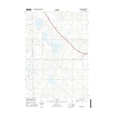
 2023 Backus Lake2023 Print · USGSRoscommon County's water-rich landscape is captured here in the early 2020s, showing a complex network of wetlands and managed floodwaters. Researchers can trace the boundaries of Backus Lake Flooding, find family landmarks along E Nestel, or explore the shorelines of Lake James.
Showing maps 1-25 of 28
Top cities near Denton Township
- Houghton Lake historical maps
- Butman historical maps
- Prudenville historical maps
- Roscommon historical maps
Top neighborhoods of Denton Township
Frequently asked questions
- What are the different types of historical maps available for Denton Township?
- What is the oldest map of Denton Township?
- Where can I purchase historical maps of Denton Township for my home or office?
- Where can I download high-res historical maps of Denton Township?
- Are there historical topographic maps available for Denton Township?
- Is there historical aerial imagery available for Denton Township?
- Where are historical maps of Denton Township sourced from?