2000s (21st Century) Maps of Gerrish Township, Michigan
Explore 20 historic maps of Gerrish Township from the 2000s (21st Century). These maps offer a rare glimpse into what life looked like during the 2000s — showing old roads, neighborhoods, homes, and landmarks that have changed or disappeared over time.
Whether you're researching your family's past, planning a metal detecting trip, or studying how Gerrish Township's landscape evolved across the 2000s, these high-resolution maps are a powerful tool for exploring the history of this region.
- Focus on a specific era: All maps on this page are from the 2000s, giving you a focused view of this time period.
- See what’s changed: Compare century-old streets, trails, and buildings to today's modern landscape using overlays and satellite layers.
- Research with precision: Use these maps for genealogy, historical research, land use analysis, or educational projects.
- View, download, or print: Maps are fully viewable online in high resolution, and can be downloaded or printed for your own records.
Start exploring Gerrish Township's history through authentic maps from the 2000s. This is your window into the past.
Gerrish Township, MI maps
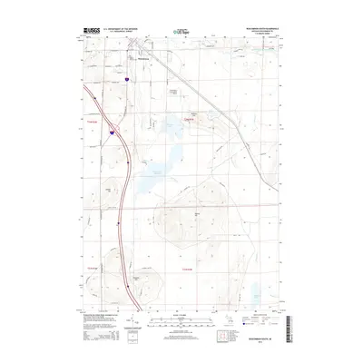
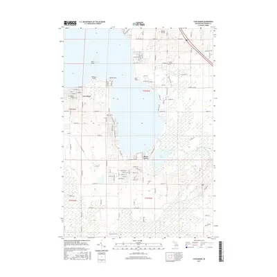
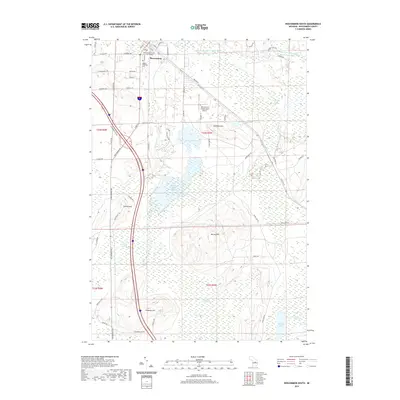
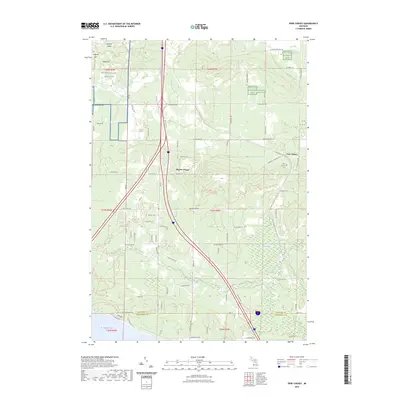
(20)- 2011 Map of Roscommon South, 2011 Print
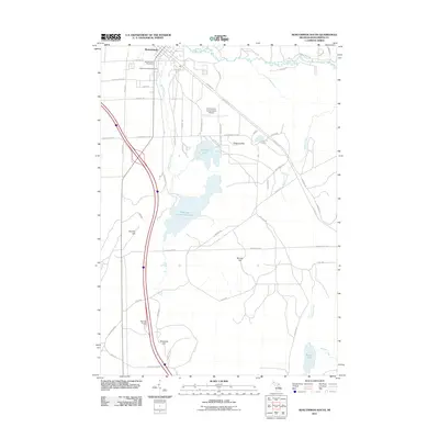 2011 Roscommon South2011 Print · USGSCovers Gerrish Township, including Roscommon, Higgins Township, and other nearby areas
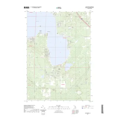
 - 2011 Map of Lyon Manor, 2011 Print
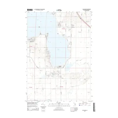
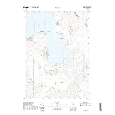
 2011 Lyon Manor2011 Print · USGSCovers Gerrish Township, including Markey Township, Sharps Corners, and other nearby areas
 - 2011 Map of Pere Cheney, 2011 Print
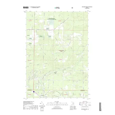
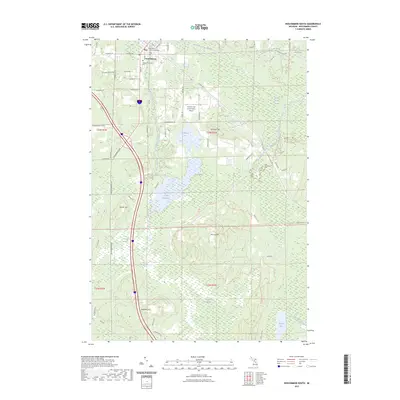
 2011 Pere Cheney2011 Print · USGSCovers Gerrish Township, including Beaver Creek Township, Pere Cheney, and other nearby areas
 - 2012 Map of Roscommon North, 2012 Print
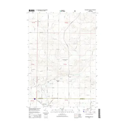
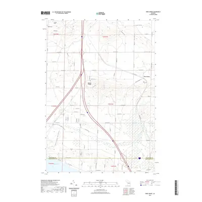
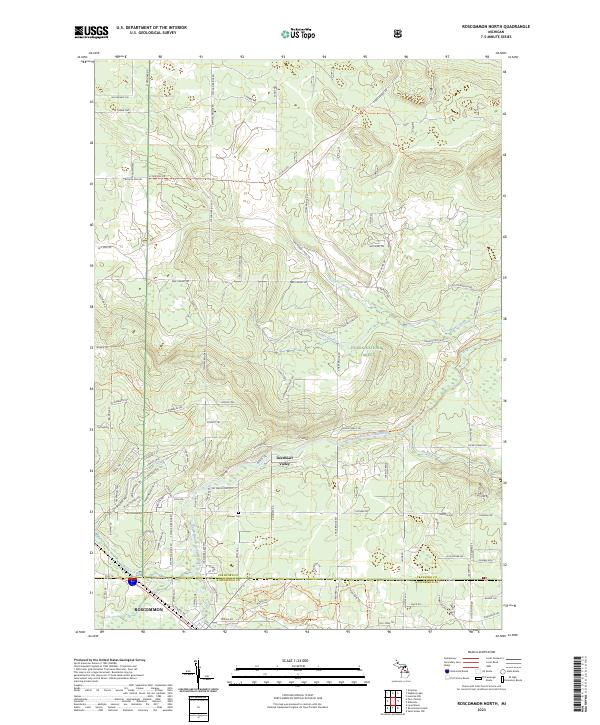
 2012 Roscommon North2012 Print · USGSCovers Gerrish Township, including Roscommon, Higgins Township, and other nearby areas
 - 2014 Map of Roscommon South, 2014 Print
 2014 Roscommon South2014 Print · USGSCovers Gerrish Township, including Roscommon, Higgins Township, and other nearby areas
 - 2014 Map of Pere Cheney, 2014 Print
 2014 Pere Cheney2014 Print · USGSCovers Gerrish Township, including Beaver Creek Township, Pere Cheney, and other nearby areas
 - 2014 Map of Lyon Manor, 2014 Print
 2014 Lyon Manor2014 Print · USGSCovers Gerrish Township, including Markey Township, Sharps Corners, and other nearby areas
 - 2014 Map of Roscommon North, 2014 Print
 2014 Roscommon North2014 Print · USGSCovers Gerrish Township, including Roscommon, Higgins Township, and other nearby areas
 - 2017 Map of Lyon Manor, 2017 Print
 2017 Lyon Manor2017 Print · USGSCovers Gerrish Township, including Markey Township, Sharps Corners, and other nearby areas
 - 2017 Map of Roscommon North, 2017 Print
 2017 Roscommon North2017 Print · USGSCovers Gerrish Township, including Roscommon, Higgins Township, and other nearby areas
 - 2017 Map of Pere Cheney, 2017 Print
 2017 Pere Cheney2017 Print · USGSCovers Gerrish Township, including Beaver Creek Township, Pere Cheney, and other nearby areas
 - 2017 Map of Roscommon South, 2017 Print
 2017 Roscommon South2017 Print · USGSCovers Gerrish Township, including Roscommon, Higgins Township, and other nearby areas
 - 2019 Map of Roscommon South, 2019 Print
 2019 Roscommon South2019 Print · USGSCovers Gerrish Township, including Roscommon, Higgins Township, and other nearby areas
 - 2019 Map of Roscommon North, 2019 Print
 2019 Roscommon North2019 Print · USGSCovers Gerrish Township, including Roscommon, Higgins Township, and other nearby areas
 - 2019 Map of Lyon Manor, 2019 Print
 2019 Lyon Manor2019 Print · USGSCovers Gerrish Township, including Markey Township, Sharps Corners, and other nearby areas
 - 2019 Map of Pere Cheney, 2019 Print
 2019 Pere Cheney2019 Print · USGSCovers Gerrish Township, including Beaver Creek Township, Pere Cheney, and other nearby areas
 - 2023 Map of Pere Cheney, 2023 Print
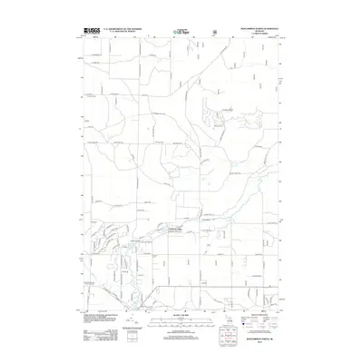
 2023 Pere Cheney2023 Print · USGSCrawford County's wooded interior is shown here in the 2020s, centering on the quiet reaches of Beaver Creek and the historic site of Pere Cheney. Researchers can trace the layout of the Pere Cheney Cem or explore the boundaries of Kirtlands Warbler WMA.
 - 2023 Map of Lyon Manor, 2023 Print
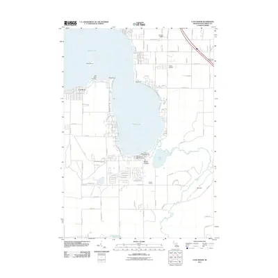
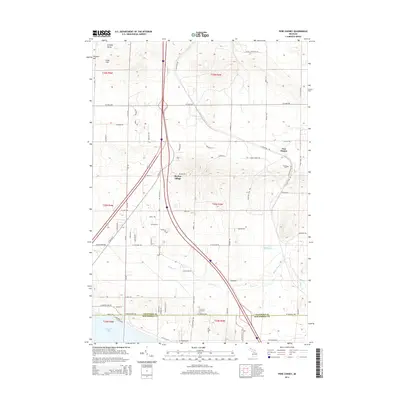
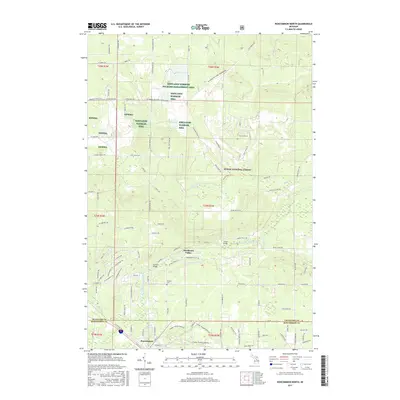
 2023 Lyon Manor2023 Print · USGSRoscommon County's recreational shoreline and local cemeteries come into focus in this contemporary survey of the area around Higgins Lake. Genealogists and local historians can locate early settlement points like Old Point Comfort and find records at the Gerrish Township Cem.
 - 2023 Map of Roscommon South, 2023 Print
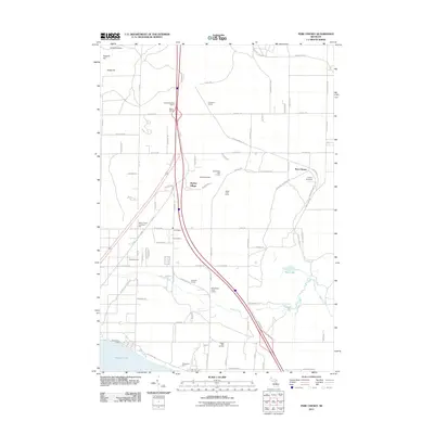
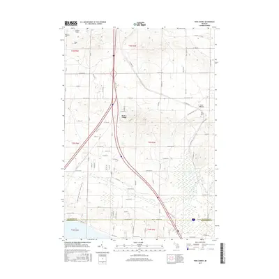
 2023 Roscommon South2023 Print · USGSThe village of Roscommon and its surrounding highlands and wetlands are documented here in the early twenty-first century. Genealogists and researchers can pinpoint Higgins Township Cem and the Roscommon County Courthouse or trace the South Branch Au Sable River.
 - 2023 Map of Roscommon North, 2023 Print
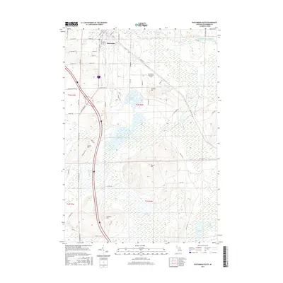
 2023 Roscommon North2023 Print · USGSCrawford County's forested interior is documented here in the early 2020s, showing the town of ROSCOMMON at the edge of the Huron National Forest. Local researchers can trace family landmarks like Pioneer Cem or follow the waters of the South Branch Au Sable River.
End of results
Showing maps 1-20 of 20
Top cities near Gerrish Township
- Houghton Lake historical maps
- Grayling historical maps
- Prudenville historical maps
- Roscommon historical maps
Frequently asked questions
- What are the different types of historical maps available for Gerrish Township?
- What is the oldest map of Gerrish Township?
- Where can I purchase historical maps of Gerrish Township for my home or office?
- Where can I download high-res historical maps of Gerrish Township?
- Are there historical topographic maps available for Gerrish Township?
- Is there historical aerial imagery available for Gerrish Township?
- Where are historical maps of Gerrish Township sourced from?