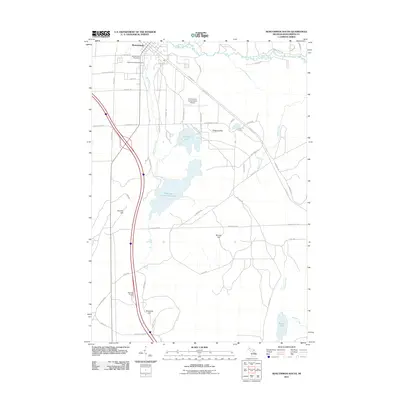
2011 Map of Roscommon South
USGS Topo · Published 2011About this map
The South Branch Au Sable River winds through the northern portion of this landscape, defining the northern edge of Roscommon as it appeared in the early 21st century. The town center is marked by key civic landmarks including the Roscommon Post Office and the Higgins Township Cemetery. Just south of the village, the Roscommon Conservation Airport occupies a central position, while the terrain to the east is punctuated by notable geological features like Sinkhole Hill and Bambi Lake.
Find a feature on this map
55 named features on this map. Tap any name to fly to it.
Don’t see what you’re looking for? This feature index may not catch every label — zoom into the map to look around manually.
Map Details
Editions of this 2011 Roscommon South Map
This is the sole edition of this map. No revisions or reprints were ever made.
Other maps of this area

1949 · Grayling
USGS Topo · 1:62,500

1950 · Roscommon North
USGS Topo · 1:24,000

1951 · Roscommon North
USGS Topo · 1:24,000

1951 · Pere Cheney
USGS Topo · 1:24,000

1954 · Traverse City
USGS Topo · 1:250,000

1958 · Traverse City
USGS Topo · 1:250,000

1963 · Roscommon South
USGS Topo · 1:24,000

1963 · Backus Lake
USGS Topo · 1:24,000

1963 · Eldorado
USGS Topo · 1:24,000

1963 · Prudenville
USGS Topo · 1:24,000