
1963 Map of Eldorado
USGS Topo · Published 1964About this map
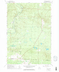
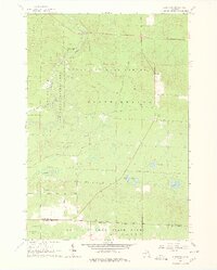
Huron National Forest and Houghton Lake State Forest dominate this early 1960s landscape, where public lands meet the rural northern Michigan frontier. The winding course of the South Branch Au Sable River cuts through the northwest, a focal point for local geography featuring the South Branch Campground and the Mason Chapel. In this era, the settlement of Eldorado sits along the eastern boundary, while the interior is defined by a network of unimproved roads like Brush Road and Fletcher Road that connect isolated landmarks. Evidence of local administration and community life is visible through the presence of a Townhall, the Roscommon Lookout Tower, and small burial grounds including Rock Cem and Richfield Cem. The southern half is dotted with small bodies of water such as Kellogg Lake and West Lake, illustrating the post-glacial terrain of the Crawford and Roscommon county line.
Find a feature on this map
37 named features on this map. Tap any name to fly to it.
Don’t see what you’re looking for? This feature index may not catch every label — zoom into the map to look around manually.
Map Details
Editions of this 1963 Eldorado Map
3 editions found
Other maps of this area

1949 · Grayling
USGS Topo · 1:62,500

1950 · Roscommon North
USGS Topo · 1:24,000

1951 · Wakeley Lake
USGS Topo · 1:24,000

1951 · Roscommon North
USGS Topo · 1:24,000

1954 · Traverse City
USGS Topo · 1:250,000

1958 · Traverse City
USGS Topo · 1:250,000

1963 · Luzerne
USGS Topo · 1:24,000

1963 · Roscommon South
USGS Topo · 1:24,000
1963 · Luzerne NW
USGS Topo · 1:24,000

1963 · Red Oak
USGS Topo · 1:24,000
Featured Places
- Higgins Township, MI
- Grayling Charter Township, MI
- South Branch Township, MI
- Au Sable Township, MI
- Eldorado, MI