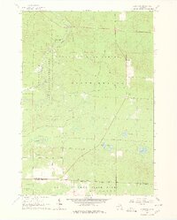
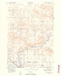
1963 Map of Eldorado
USGS Topo · Published 1978About this map
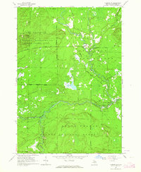
The Au Sable River South Branch winds through this mid-century survey of the northern Michigan woods, marking the transition between the Huron National Forest and the Houghton Lake State Forest. The map captures a quiet, rural landscape defined by logging history and early outdoor recreation, centered around the settlement of Eldorado. Public infrastructure of the era is evident in features like the Roscommon Lookout Tower and the Townhall located near Dry Lake.
Find a feature on this map
28 named features on this map. Tap any name to fly to it.
Don’t see what you’re looking for? This feature index may not catch every label — zoom into the map to look around manually.
Map Details
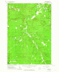
Editions of this 1963 Eldorado Map
3 editions found
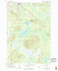
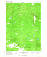
Other maps of this area

1949 · Grayling
USGS Topo · 1:62,500
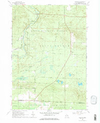
1950 · Roscommon North
USGS Topo · 1:24,000
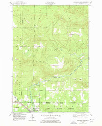
1951 · Wakeley Lake
USGS Topo · 1:24,000
1951 · Roscommon North
USGS Topo · 1:24,000

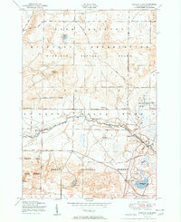
1954 · Traverse City
USGS Topo · 1:250,000

1958 · Traverse City
USGS Topo · 1:250,000
1963 · Luzerne
USGS Topo · 1:24,000
1963 · Roscommon South
USGS Topo · 1:24,000
1963 · Eldorado
USGS Topo · 1:24,000
1963 · Luzerne NW
USGS Topo · 1:24,000
Featured Places
- Higgins Township, MI
- Grayling Charter Township, MI
- South Branch Township, MI
- Au Sable Township, MI
- Eldorado, South Branch Township