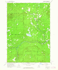
1963 Map of Luzerne NW
USGS Topo · Published 1964About this map
The North Branch Au Sable River and South Branch Au Sable River define this wooded landscape in northern Michigan, where several forks and creeks converge. During the early 1960s, this area served as a significant training ground, with the eastern portion of the Camp Grayling Military Reservation occupying the northwestern territory. The map highlights the essential river crossings of the era, including Kelloggs Bridge, Blonde Dam Bridge, and McMasters Bridge, which facilitated movement across the dense forest and marshland.
Find a feature on this map
24 named features on this map. Tap any name to fly to it.
Don’t see what you’re looking for? This feature index may not catch every label — zoom into the map to look around manually.
Map Details
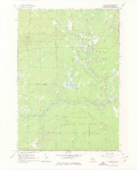
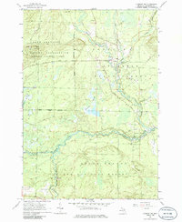
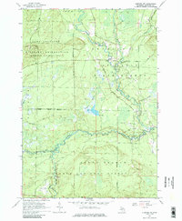
Editions of this 1963 Luzerne NW Map
4 editions found
Other maps of this area

1949 · Lewiston
USGS Topo · 1:62,500

1949 · Otsego Lake
USGS Topo · 1:62,500

1949 · Grayling
USGS Topo · 1:62,500

1950 · Comstock Hills
USGS Topo · 1:24,000

1950 · Lovells
USGS Topo · 1:24,000

1950 · Roscommon North
USGS Topo · 1:24,000

1951 · K P Lake
USGS Topo · 1:24,000

1951 · Comstock Hills
USGS Topo · 1:24,000

1951 · Lovells
USGS Topo · 1:24,000

1951 · Wakeley Lake
USGS Topo · 1:24,000
Featured Places
- Lovells Township, MI
- Grayling Charter Township, MI
- South Branch Township, MI
- Crawford County, MI
- United States