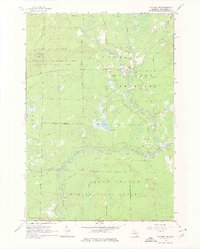
1963 Map of Luzerne NW
USGS Topo · Published 1976About this map
The Au Sable River winds through this northern Michigan landscape, serving as a primary corridor through the Huron National Forest and Au Sable State Forest. In the early 1960s, this area was defined by its vast conservation lands and active military training grounds, notably the Camp Grayling Military Reservation which occupies the northwest quadrant. The map reveals a network of river access points and crossings vital for local navigation and forestry, including McMasters Bridge and Kelloggs Bridge.
Find a feature on this map
27 named features on this map. Tap any name to fly to it.
Don’t see what you’re looking for? This feature index may not catch every label — zoom into the map to look around manually.
Map Details
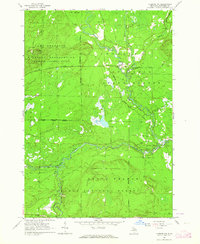
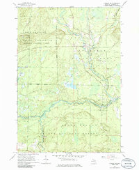
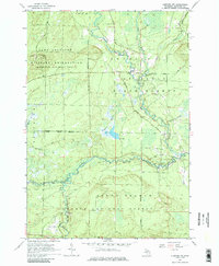
Editions of this 1963 Luzerne NW Map
4 editions found
Other maps of this area

1949 · Lewiston
USGS Topo · 1:62,500

1949 · Otsego Lake
USGS Topo · 1:62,500

1949 · Grayling
USGS Topo · 1:62,500

1950 · Comstock Hills
USGS Topo · 1:24,000

1950 · Lovells
USGS Topo · 1:24,000

1950 · Roscommon North
USGS Topo · 1:24,000

1951 · K P Lake
USGS Topo · 1:24,000

1951 · Comstock Hills
USGS Topo · 1:24,000

1951 · Lovells
USGS Topo · 1:24,000

1951 · Wakeley Lake
USGS Topo · 1:24,000
Featured Places
- Lovells Township, MI
- Grayling Charter Township, MI
- South Branch Township, MI
- Crawford County, MI
- United States