
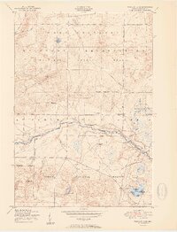
1951 Map of Wakeley Lake
USGS Topo · Published 1951About this map
The Au Sable River meanders through the heart of this Crawford County landscape, a central artery for the region's recreational and military history. In the early 1950s, this area was defined by a network of logging-era truck trails and seasonal camps, reflecting a shift from heavy timber harvesting to conservation and tactical training. The Camp Grayling Military Reservation dominates the northern half of the sheet, while the southern portion is preserved within the Huron National Forest. Local infrastructure of the era is preserved through markers such as the Feldhauser School and the Down River Fire Tower. Notable river crossings like Stephans Bridge and named outposts like Wildwood and Camp Wa-Wa-Sum show the settlement patterns along the riverbanks, where early 20th-century sporting culture met the expanding footprint of the Michigan National Guard.
Find a feature on this map
28 named features on this map. Tap any name to fly to it.
Don’t see what you’re looking for? This feature index may not catch every label — zoom into the map to look around manually.
Map Details
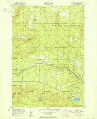
Editions of this 1951 Wakeley Lake Map
3 editions found
Other maps of this area

1949 · Lewiston
USGS Topo · 1:62,500

1949 · Otsego Lake
USGS Topo · 1:62,500

1949 · Grayling
USGS Topo · 1:62,500

1950 · Grayling
USGS Topo · 1:24,000

1950 · Lovells
USGS Topo · 1:24,000

1950 · Roscommon North
USGS Topo · 1:24,000

1951 · K P Lake
USGS Topo · 1:24,000

1951 · Big Bradford Lake
USGS Topo · 1:24,000

1951 · Lovells
USGS Topo · 1:24,000

1951 · Grayling
USGS Topo · 1:24,000