Old Maps of Hillcrest, Michigan for Metal Detecting
Plan your next treasure hunt with 11 historic maps of Hillcrest. Find old homesites, ghost towns, trails, and gathering spots that may be lost to time — perfect for identifying promising metal detecting locations.
- Locate forgotten sites: Uncover places like long-lost settlements, abandoned rail lines, or gathering spots.
- Plan better hunts: Use map overlays combined with LiDAR or satellite views to narrow in on historically rich areas.
- Made for detectorists: Thousands of hobbyists use these maps to discover relics, coins, and hidden history.
Use these historic maps to boost your research and find new opportunities beneath the surface of Hillcrest.
Hillcrest, MI maps
(11)- 1954 Map of Traverse City, 1965 Print
 1954 Traverse City1965 Print · USGSNorthern Michigan’s vast lakeshores and timberlands are captured here in the mid-fifties, showing the region before the modern interstate era. Genealogists and researchers can trace rail connections like the Detroit and Mackinac RR or find old communities such as Suttons Bay, Elk Rapids, and Prudenville.4 unique versions available
 - 1956 Map of Houghton Lake, 1958 Print
 1956 Houghton Lake1958 Print · USGSHoughton Lake and its surrounding marshlands are shown here in the mid-fifties, just as tourism and conservation efforts were reshaping the region. Genealogists can trace family names at Star City Cem and Butterfield Cem or locate the site of the Anderson Sch (Abandoned).3 unique versions available
 - 1958 Map of Traverse City
 1958 Traverse City1958 Print · USGSNorthern Lower Michigan was a landscape of vast state forests and burgeoning lakeside retreats in the late fifties. Genealogists and historians can trace the rail corridors of the Ann Arbor RR and find established settlements from Elk Rapids to Houghton Lake.2 unique versions available
 - 1983 Map of Meads Landing, 1984 Print
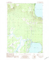 1983 Meads Landing1984 Print · USGSUpper Michigan's lake country in the early eighties shows a landscape of state forests and sprawling wetlands between the Great Lakes. You can locate family history at Heidemann Cem, trace the oil production at the Enterprise Oil Field, or find old river crossings near the Covered Bridge.
 - 1983 Map of Houghton Lake, 1984 Print
 1983 Houghton Lake1984 Print · USGSIn the early 1980s, the Michigan heartland around Houghton Lake was a patchwork of state forest and growing lakeside resorts. Genealogists and historians can trace the development of communities like West Branch and Rose City alongside landmarks like Roscommon County Airfield.
 - 1989 Map of Traverse City, 1990 Print
 1989 Traverse City1990 Print · USGSNorthern Michigan’s lake-country and forest lands are captured in the late eighties as seasonal tourism and timber hubs expanded. Genealogists and historians can trace the routes of the Ann Arbor RR, the boundaries of Camp Grayling, and settlements like Elk Rapids and Manton.
 - 2011 Map of Meads Landing, 2011 Print
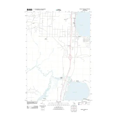 2011 Meads Landing2011 Print · USGSUpper Michigan's lake country is captured here during the early twenty-first century, showing the corridor between two major water bodies. Researchers can trace local landmarks like the Higgins Lake Post Office, the East Norwich Oil Field, and the Michelson settlement.
 - 2014 Map of Meads Landing, 2014 Print
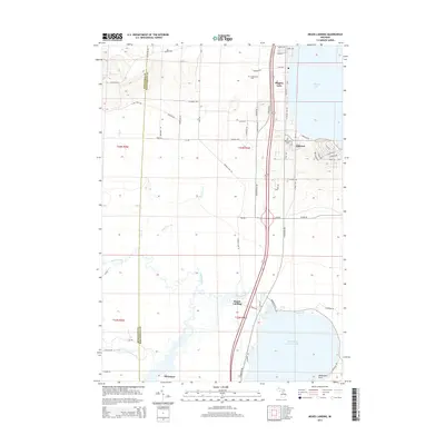 2014 Meads Landing2014 Print · USGSHiggins Lake and the upper Muskegon River basin are documented here in the early twenty-first century, showing the balance of resort development and natural wetlands. Researchers can trace local history through Oakwood Cem, the settlement of Michelson, and the shoreline of North Bay Houghton Lake.
 - 2017 Map of Meads Landing, 2017 Print
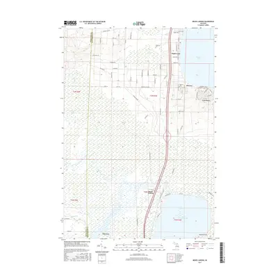 2017 Meads Landing2017 Print · USGSUpper Michigan's wetland wilderness is captured here in the late twenty-tens, where the county line divides dense marshes from lakeside settlements. Genealogists and outdoor historians can trace the sites of Meads Landing, the riverside community of Michelson, and local burials at Heidemann Cem.
 - 2019 Map of Meads Landing, 2019 Print
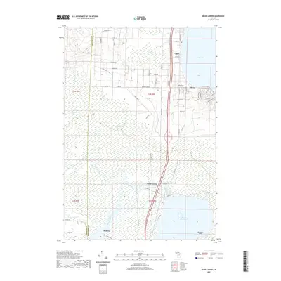 2019 Meads Landing2019 Print · USGSHiggins Lake and the surrounding wetlands of Roscommon and Missaukee Counties are shown here in modern detail. Trace the course of the Muskegon River through the Dead Stream Swamp or locate local landmarks like Oakwood Cem and the settlement of Michelson.
 - 2023 Map of Meads Landing, 2023 Print
 2023 Meads Landing2023 Print · USGSThe shorelines of Higgins Lake and Houghton Lake come together in this contemporary study of Roscommon County. Trace the intricate wetlands of Dead Stream Swamp or locate local landmarks like Meads Landing and the Heidemann Cem.
End of results
Showing maps 1-11 of 11
Top cities near Hillcrest
- Houghton Lake historical maps
- Grayling historical maps
- Prudenville historical maps
- Roscommon historical maps
- Butterfield historical maps
Frequently asked questions
- What are the different types of historical maps available for Hillcrest?
- What is the oldest map of Hillcrest?
- Where can I purchase historical maps of Hillcrest for my home or office?
- Where can I download high-res historical maps of Hillcrest?
- Are there historical topographic maps available for Hillcrest?
- Is there historical aerial imagery available for Hillcrest?
- Where are historical maps of Hillcrest sourced from?