2000s (21st Century) Maps of Clyde Township, Michigan
Explore 20 historic maps of Clyde Township from the 2000s (21st Century). These maps offer a rare glimpse into what life looked like during the 2000s — showing old roads, neighborhoods, homes, and landmarks that have changed or disappeared over time.
Whether you're researching your family's past, planning a metal detecting trip, or studying how Clyde Township's landscape evolved across the 2000s, these high-resolution maps are a powerful tool for exploring the history of this region.
- Focus on a specific era: All maps on this page are from the 2000s, giving you a focused view of this time period.
- See what’s changed: Compare century-old streets, trails, and buildings to today's modern landscape using overlays and satellite layers.
- Research with precision: Use these maps for genealogy, historical research, land use analysis, or educational projects.
- View, download, or print: Maps are fully viewable online in high resolution, and can be downloaded or printed for your own records.
Start exploring Clyde Township's history through authentic maps from the 2000s. This is your window into the past.
Clyde Township, MI maps
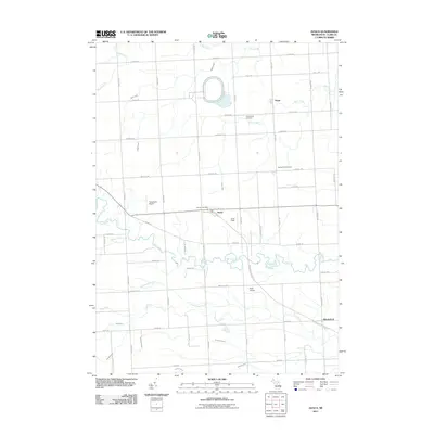
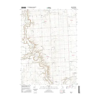
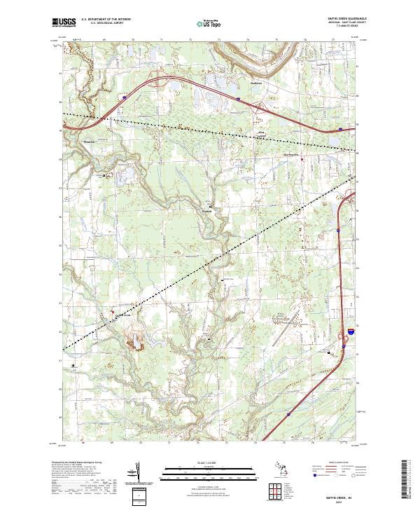
(20)- 2011 Map of Smiths Creek, 2011 Print
 2011 Smiths Creek2011 Print · USGSCovers Clyde Township, including Marysville, Kimball, and other nearby areas
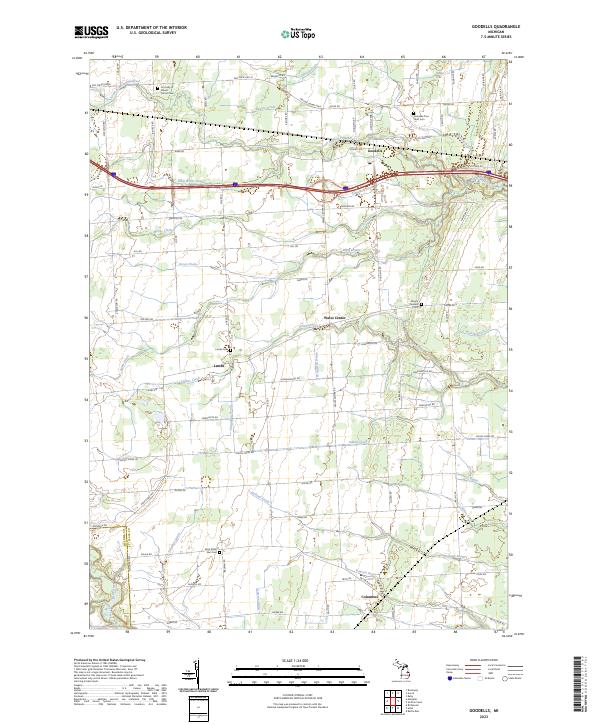
 - 2011 Map of Goodells, 2011 Print
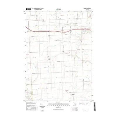
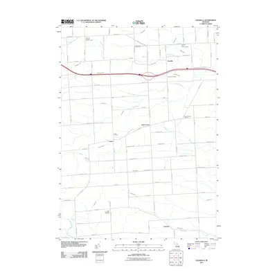 2011 Goodells2011 Print · USGSCovers Clyde Township, including Columbus Township, Goodells, and other nearby areas
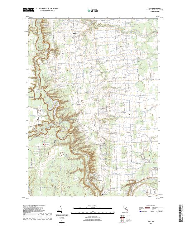
 - 2011 Map of Ruby, 2011 Print
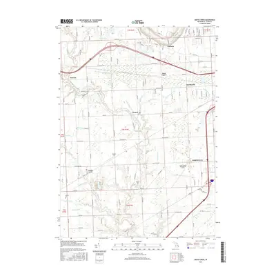
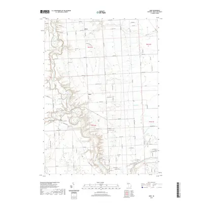
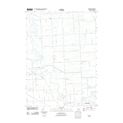 2011 Ruby2011 Print · USGSCovers Clyde Township, including Atkins, Grant Township, and other nearby areas
 - 2011 Map of Avoca, 2011 Print
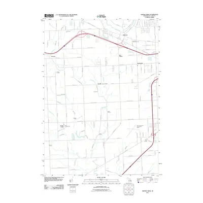
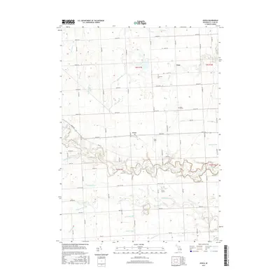
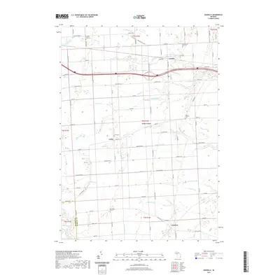
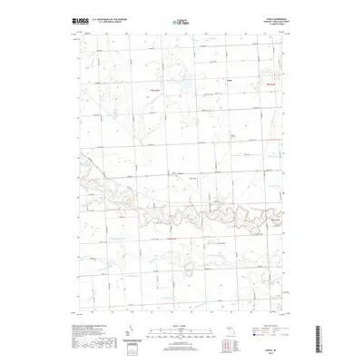
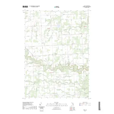
 2011 Avoca2011 Print · USGSCovers Clyde Township, including Fargo, Avoca, and other nearby areas
 - 2014 Map of Avoca, 2014 Print
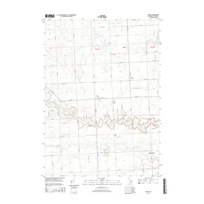 2014 Avoca2014 Print · USGSCovers Clyde Township, including Fargo, Avoca, and other nearby areas
 - 2014 Map of Smiths Creek, 2014 Print
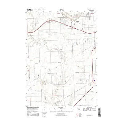 2014 Smiths Creek2014 Print · USGSCovers Clyde Township, including Marysville, Kimball, and other nearby areas
 - 2014 Map of Goodells, 2014 Print
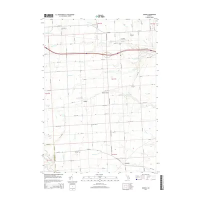 2014 Goodells2014 Print · USGSCovers Clyde Township, including Columbus Township, Goodells, and other nearby areas
 - 2014 Map of Ruby, 2014 Print
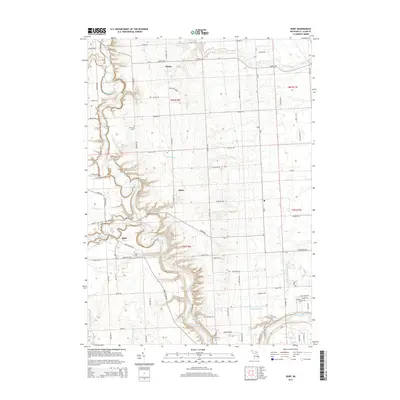 2014 Ruby2014 Print · USGSCovers Clyde Township, including Atkins, Grant Township, and other nearby areas
 - 2017 Map of Smiths Creek, 2017 Print
 2017 Smiths Creek2017 Print · USGSCovers Clyde Township, including Marysville, Kimball, and other nearby areas
 - 2017 Map of Avoca, 2017 Print
 2017 Avoca2017 Print · USGSCovers Clyde Township, including Fargo, Avoca, and other nearby areas
 - 2017 Map of Goodells, 2017 Print
 2017 Goodells2017 Print · USGSCovers Clyde Township, including Columbus Township, Goodells, and other nearby areas
 - 2017 Map of Ruby, 2017 Print
 2017 Ruby2017 Print · USGSCovers Clyde Township, including Atkins, Grant Township, and other nearby areas
 - 2019 Map of Goodells, 2019 Print
 2019 Goodells2019 Print · USGSCovers Clyde Township, including Columbus Township, Goodells, and other nearby areas
 - 2019 Map of Avoca, 2019 Print
 2019 Avoca2019 Print · USGSCovers Clyde Township, including Fargo, Avoca, and other nearby areas
 - 2019 Map of Ruby, 2019 Print
 2019 Ruby2019 Print · USGSCovers Clyde Township, including Atkins, Grant Township, and other nearby areas
 - 2019 Map of Smiths Creek, 2019 Print
 2019 Smiths Creek2019 Print · USGSCovers Clyde Township, including Marysville, Kimball, and other nearby areas
 - 2023 Map of Avoca, 2023 Print
 2023 Avoca2023 Print · USGSSt. Clair County's rural townships are shown here in modern detail, capturing the agricultural landscape north of Port Huron. Researchers can locate family heritage sites at Greenwood Cem and trace the paths of Mill Creek and the Pine River.
 - 2023 Map of Ruby, 2023 Print
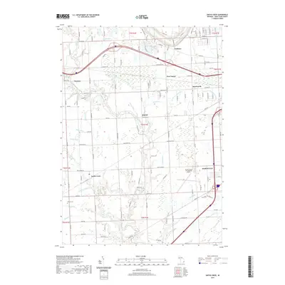
 2023 Ruby2023 Print · USGSSt. Clair County's rural interior comes into focus in this contemporary survey of the river valleys north of Port Huron. Genealogists can trace family landmarks and burial sites like Harmony Cem, Westbrook Cem, and the old settlements of Ruby and Atkins.
 - 2023 Map of Smiths Creek, 2023 Print
 2023 Smiths Creek2023 Print · USGSSt. Clair County's rural and residential character is on full display in this modern survey of the area west of Port Huron. Researchers can pinpoint family plots at Caswell Cem or Williams Cem and trace the complex local drainage systems like Cuttle Creek.
 - 2023 Map of Goodells, 2023 Print
 2023 Goodells2023 Print · USGSSt. Clair County's rural townships are documented here in the early twenty-first century, showing the enduring grid of farm roads and small settlements. Researchers can locate family sites near Goodells Poor Farm Cem, Wales Center, and Lambs Cem.
End of results
Showing maps 1-20 of 20
Top cities near Clyde Township
- Port Huron historical maps
- Marysville historical maps
- Kimball historical maps
- West Tappan historical maps
- Richmond historical maps
- Saint Clair historical maps
See more
Top neighborhoods of Clyde Township
Frequently asked questions
- What are the different types of historical maps available for Clyde Township?
- What is the oldest map of Clyde Township?
- Where can I purchase historical maps of Clyde Township for my home or office?
- Where can I download high-res historical maps of Clyde Township?
- Are there historical topographic maps available for Clyde Township?
- Is there historical aerial imagery available for Clyde Township?
- Where are historical maps of Clyde Township sourced from?