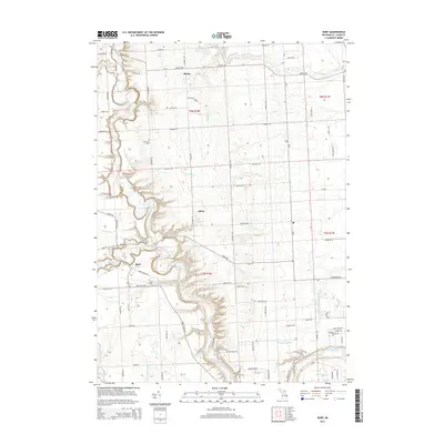
2014 Map of Ruby
USGS Topo · Published 2014About this map
The Black River carves a deep, winding path through this portion of Saint Clair County, creating a series of sharp oxbows and bluffs that define the local topography. At the heart of these bends lies Ruby, a settlement situated near the confluence of Mill Creek and the main river channel. This 2014 survey documents a landscape where agricultural heritage and early 21st-century residential growth meet, centered on crossroads like Atkins and the northern hamlet of Blaine.
Find a feature on this map
54 named features on this map. Tap any name to fly to it.
Don’t see what you’re looking for? This feature index may not catch every label — zoom into the map to look around manually.
Map Details
Editions of this 2014 Ruby Map
This is the sole edition of this map. No revisions or reprints were ever made.
Other maps of this area
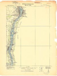
1912 · Port Huron
USGS Topo · 1:62,500
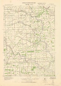
1928 · Hicky
USGS Topo · 1:62,500
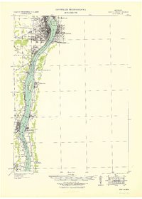
1929 · Port Huron
USGS Topo · 1:62,500
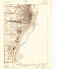
1939 · Port Huron
USGS Topo · 1:24,000
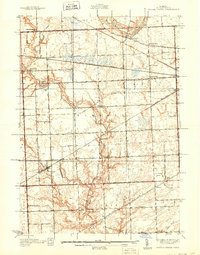
1939 · Smiths Creek
USGS Topo · 1:24,000
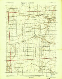
1939 · Goodells
USGS Topo · 1:24,000
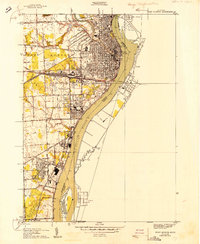
1949 · Port Huron
USGS Topo · 1:24,000
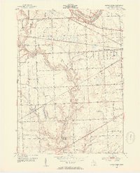
1952 · Smiths Creek
USGS Topo · 1:24,000
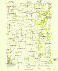
1952 · Goodells
USGS Topo · 1:24,000
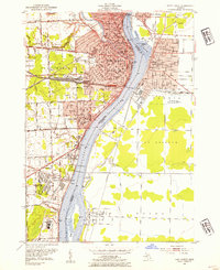
1952 · Port Huron
USGS Topo · 1:24,000
Featured Places
- Atkins, MI
- Grant Township, MI
- Clyde Township, MI
- Burtchville Township, MI
- Port Huron Charter Township, MI