Old Maps of Sherman Township, Michigan for Metal Detecting
Plan your next treasure hunt with 30 historic maps of Sherman Township. Find old homesites, ghost towns, trails, and gathering spots that may be lost to time — perfect for identifying promising metal detecting locations.
- Locate forgotten sites: Uncover places like long-lost settlements, abandoned rail lines, or gathering spots.
- Plan better hunts: Use map overlays combined with LiDAR or satellite views to narrow in on historically rich areas.
- Made for detectorists: Thousands of hobbyists use these maps to discover relics, coins, and hidden history.
Use these historic maps to boost your research and find new opportunities beneath the surface of Sherman Township.
Sherman Township, MI maps
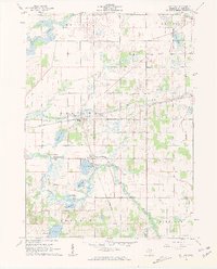
(30)- 1914 Map of Three Rivers, 1966 Print
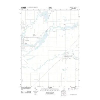
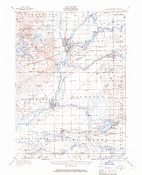 1914 Three Rivers1966 Print · USGSSt. Joseph County's river-driven economy is on full display in the early 1900s, centered on the busy rail junction at Three Rivers. Genealogists can locate dozens of country schools and churches, from Peck Academy to the remote Quail Trap School.
 - 1916 Map of Three Rivers
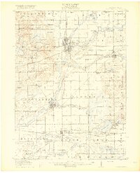 1916 Three Rivers1916 Print · USGSThe river-driven industry and rural school networks of St. Joseph County are in full view during the mid-nineteen-teens. Genealogists and historians can locate old homesteads near Johnnycake School, trace the Chicago Road, or find the early power structures at Sturgis Power Dam.3 unique versions available
 - 1943 Map of Three Rivers
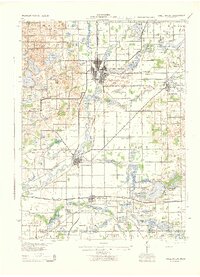 1943 Three Rivers1943 Print · USGSSt. Joseph County and the northern Indiana borderlands appear here in the 1940s at the height of the steam-rail era. Genealogists can trace dozens of rural school sites like Johnnycake Sch and family landmarks near White Pigeon, Constantine, and Klinger Lake.
 - 1953 Map of Fort Wayne, 1963 Print
 1953 Fort Wayne1963 Print · USGSNortheast Indiana and its neighboring borderlands in Michigan and Ohio appear here during a peak era of rail and road expansion. Researchers can trace the massive rail networks of the Nickel Plate Road and Wabash or locate lakeside landmarks like Lake Wawasee and Clear Lake.4 unique versions available
 - 1956 Map of Fort Wayne
 1956 Fort Wayne1956 Print · USGSThe tri-state borderlands of Indiana, Michigan, and Ohio are captured here in the mid-fifties, centered on the growing industrial hub of Fort Wayne. Researchers can trace the heavy rail lines of the New York Central and Pennsylvania alongside prominent water features like Lake Wawasee and the Maumee River.2 unique versions available
 - 1961 Map of Sturgis, 1962 Print
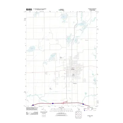
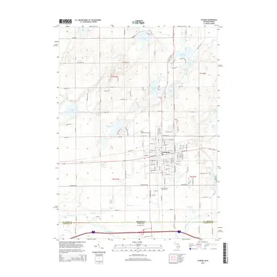
 1961 Sturgis1962 Print · USGSSturgis and the Michigan-Indiana border are captured here at a moment of mid-century growth. Genealogists and historians can trace neighborhood schools like Holy Angels Sch, old burial grounds at Tobey Cem, and the path of the New York Central railroad.2 unique versions available
 - 1961 Map of Nottawa, 1962 Print
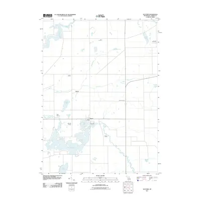
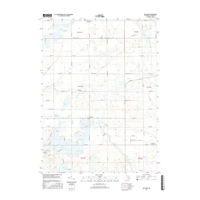
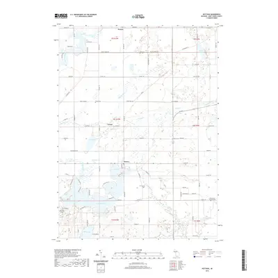
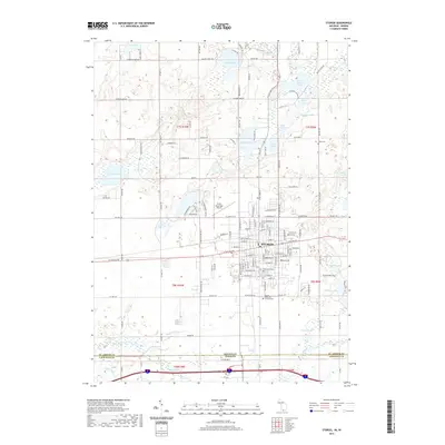
 1961 Nottawa1962 Print · USGSSt. Joseph County at the start of the 1960s is a landscape of glacial lakes and intersecting rail lines. Researchers can trace the routes of the New York Central railroad and locate local landmarks like the Community Sch and Nottawa Cem.3 unique versions available
 - 1972 Map of Three Rivers East, 1974 Print
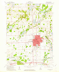
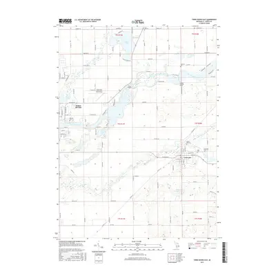
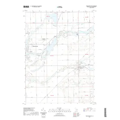
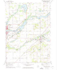 1972 Three Rivers East1974 Print · USGSSt. Joseph County in the early seventies shows a landscape where historic river routes meet the modern rail-and-road network. Researchers can trace family sites at South Park Cem or locate industrial landmarks like the Langley Covered Bridge and Sturgis Dam.2 unique versions available
 - 1972 Map of Klinger Lake, 1974 Print
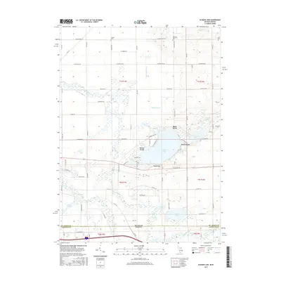
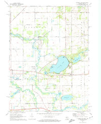 1972 Klinger Lake1974 Print · USGSSouthern Michigan lake life and rural landscapes meet at the Indiana border in the early seventies. Genealogists and local historians can trace the lakeside communities of Breezy Beach, rural landmarks like Calhoun Cem, and the path of the Penn Central railroad.2 unique versions available
 - 1985 Map of Elkhart
 1985 Elkhart1985 Print · USGSThe Indiana-Michigan borderlands come into focus in the mid-1980s, showcasing the industrial rail hubs and rural agricultural townships of the St. Joseph valley. Genealogists and historians can trace the growth of Elkhart, Goshen, and Three Rivers, or locate smaller communities like Middlebury and White Pigeon.2 unique versions available
 - 2011 Map of Klinger Lake, 2011 Print
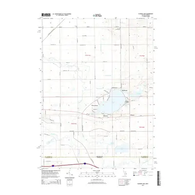
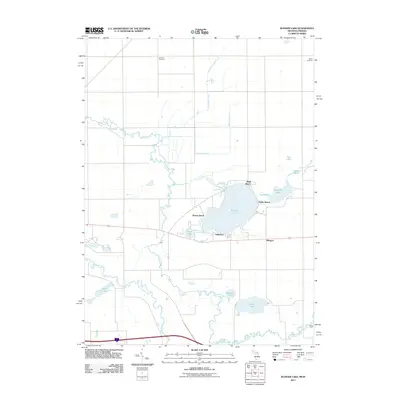 2011 Klinger Lake2011 Print · USGSCovers Sherman Township, including Bluff Beach, Breezy Beach, and other nearby areas
 - 2011 Map of Three Rivers East, 2011 Print
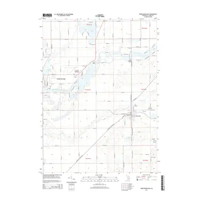
 2011 Three Rivers East2011 Print · USGSCovers Sherman Township, including Three Rivers, Centreville, and other nearby areas
 - 2011 Map of Sturgis, 2011 Print
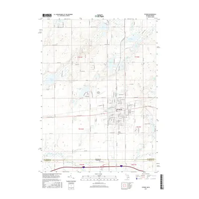
 2011 Sturgis2011 Print · USGSCovers Sherman Township, including Sturgis, Fawn River Township, and other nearby areas
 - 2011 Map of Nottawa, 2011 Print
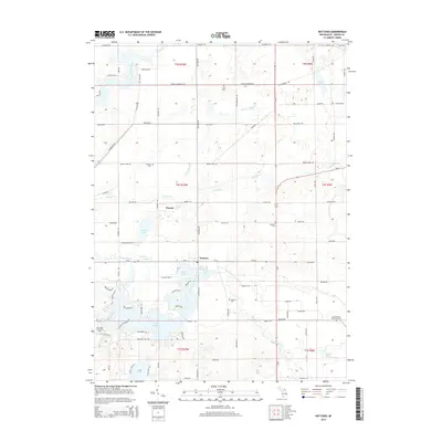
 2011 Nottawa2011 Print · USGSCovers Sherman Township, including Nottawa, Mendon, and other nearby areas
 - 2014 Map of Sturgis, 2014 Print
 2014 Sturgis2014 Print · USGSCovers Sherman Township, including Sturgis, Fawn River Township, and other nearby areas
 - 2014 Map of Klinger Lake, 2014 Print
 2014 Klinger Lake2014 Print · USGSCovers Sherman Township, including Bluff Beach, Breezy Beach, and other nearby areas
 - 2014 Map of Nottawa, 2014 Print
 2014 Nottawa2014 Print · USGSCovers Sherman Township, including Nottawa, Mendon, and other nearby areas
 - 2014 Map of Three Rivers East, 2014 Print
 2014 Three Rivers East2014 Print · USGSCovers Sherman Township, including Three Rivers, Centreville, and other nearby areas
 - 2017 Map of Sturgis, 2017 Print
 2017 Sturgis2017 Print · USGSCovers Sherman Township, including Sturgis, Fawn River Township, and other nearby areas
 - 2017 Map of Three Rivers East, 2017 Print
 2017 Three Rivers East2017 Print · USGSCovers Sherman Township, including Three Rivers, Centreville, and other nearby areas
 - 2017 Map of Klinger Lake, 2017 Print
 2017 Klinger Lake2017 Print · USGSCovers Sherman Township, including Bluff Beach, Breezy Beach, and other nearby areas
 - 2017 Map of Nottawa, 2017 Print
 2017 Nottawa2017 Print · USGSCovers Sherman Township, including Nottawa, Mendon, and other nearby areas
 - 2019 Map of Nottawa, 2019 Print
 2019 Nottawa2019 Print · USGSCovers Sherman Township, including Nottawa, Mendon, and other nearby areas
 - 2019 Map of Three Rivers East, 2019 Print
 2019 Three Rivers East2019 Print · USGSCovers Sherman Township, including Three Rivers, Centreville, and other nearby areas
 - 2019 Map of Sturgis, 2019 Print
 2019 Sturgis2019 Print · USGSCovers Sherman Township, including Sturgis, Fawn River Township, and other nearby areas
Showing maps 1-25 of 30
Top cities near Sherman Township
- Sturgis historical maps
- Three Rivers historical maps
- Nottawa historical maps
- Middlebury historical maps
- LaGrange historical maps
- Lagrange historical maps
See more
Frequently asked questions
- What are the different types of historical maps available for Sherman Township?
- What is the oldest map of Sherman Township?
- Where can I purchase historical maps of Sherman Township for my home or office?
- Where can I download high-res historical maps of Sherman Township?
- Are there historical topographic maps available for Sherman Township?
- Is there historical aerial imagery available for Sherman Township?
- Where are historical maps of Sherman Township sourced from?