2020s Maps of Antrim Township, Michigan
Explore 2 historic maps of Antrim Township from the 2020s. These maps offer a rare glimpse into what life looked like during the 2020s — showing old roads, neighborhoods, homes, and landmarks that have changed or disappeared over time.
Whether you're researching your family's past, planning a metal detecting trip, or studying how Antrim Township's landscape evolved across the 2020s, these high-resolution maps are a powerful tool for exploring the history of this region.
- Focus on a specific era: All maps on this page are from the 2020s, giving you a focused view of this time period.
- See what’s changed: Compare century-old streets, trails, and buildings to today's modern landscape using overlays and satellite layers.
- Research with precision: Use these maps for genealogy, historical research, land use analysis, or educational projects.
- View, download, or print: Maps are fully viewable online in high resolution, and can be downloaded or printed for your own records.
Start exploring Antrim Township's history through authentic maps from the 2020s. This is your window into the past.
Antrim Township, MI maps
(2)- 2023 Map of Perry, 2023 Print
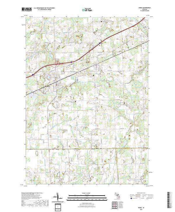 2023 Perry2023 Print · USGSThe rural landscapes surrounding Perry and Morrice are shown here as they appeared in the early 2020s. Researchers can locate local landmarks like Rose Lawn Cem, the waters of the Looking Glass River, and the remote settlement of Nicholson at the tri-county line.
 - 2023 Map of Corunna SE, 2023 Print
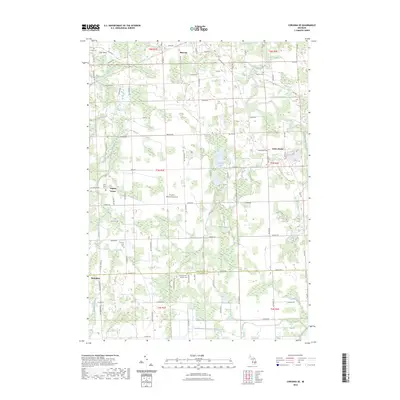 2023 Corunna SE2023 Print · USGSShiawassee and Livingston Counties are captured in this recent survey, showing the rural landscape surrounding Bancroft and Antrim Center. Researchers can locate several historic burial sites, including the Union Plains Cemetery and Scribner Road Cemetery, alongside landmarks like Pingston Aeroworks Airport.
End of results
Showing maps 1-2 of 2
Top cities near Antrim Township
- Genoa Charter Township historical maps
- Owosso historical maps
- Oceola Township historical maps
- Howell historical maps
- Marion Township historical maps
- Handy Township historical maps
See more
Top neighborhoods of Antrim Township
Frequently asked questions
- What are the different types of historical maps available for Antrim Township?
- What is the oldest map of Antrim Township?
- Where can I purchase historical maps of Antrim Township for my home or office?
- Where can I download high-res historical maps of Antrim Township?
- Are there historical topographic maps available for Antrim Township?
- Is there historical aerial imagery available for Antrim Township?
- Where are historical maps of Antrim Township sourced from?