Old Maps of Burns Township, Michigan for Hiking & Exploration
Hike through history with 25 historic maps of Burns Township. Explore old trails, ghost towns, and forgotten backroads — perfect for outdoor adventurers and local explorers.
- Rediscover forgotten places: Map out old mining camps, roads, and footpaths that no longer exist on modern maps.
- Layer with modern tools: Combine with LiDAR or satellite views to plan hikes through historical terrain.
- Made for exploration: Popular among hikers, overlanders, and local history lovers.
Use these maps to find adventure and explore the hidden past of Burns Township.
Burns Township, MI maps
(25)- 1922 Map of Durand
 1922 Durand1922 Print · USGSShiawassee and Genesee counties come alive in the early 1920s as a bustling junction of rail and river. Researchers can trace the sprawling Grand Trunk lines through Durand or locate family roots near the Crapo Farm and Unity Grange.4 unique versions available
 - 1926 Map of Corunna, 1958 Print
 1926 Corunna1958 Print · USGSShiawassee County in the mid-twenties shows a landscape of busy rail junctions and productive farmland. Genealogists can trace family roots through numerous rural schools like Eddy Sch and settlements including Bancroft and Shiawasseetown.2 unique versions available
 - 1929 Map of Corunna
 1929 Corunna1929 Print · USGSShiawassee County thrives as a rail and industrial hub during the late twenties, centered on the growing cities of Owosso and Corunna. Genealogists can trace family roots through dozens of rural landmarks like Bennington No 1 School, Shiawasseetown, and the Electric Railway route.3 unique versions available
 - 1943 Map of Durand
 1943 Durand1943 Print · USGSMid-century Shiawassee and Genesee Counties are mapped here during a period of agricultural stability and rail expansion. Genealogists can trace family farm locations near Crapo Farm or locate rural schools like Doane Sch and Church Sch.
 - 1944 Map of Corunna
 1944 Corunna1944 Print · USGSMid-Michigan farming and industry converge in the 1940s as major rail lines like the Ann Arbor and Grand Trunk link the countryside. Researchers can trace dozens of rural school sites, from Octagon Sch to Hawkins Sch, alongside the waters of the Shiawassee River.
 - 1954 Map of Detroit
 1954 Detroit1954 Print · USGSThe Detroit metro and its Ontario neighbors are shown at the height of the mid-century industrial era, just as the suburbs were rapidly expanding. Researchers can trace the massive rail networks of the Wabash Railroad or locate landmarks like Grosse Ile and Selfridge Air Force Base.
 - 1958 Map of Grand Rapids, 1973 Print
 1958 Grand Rapids1973 Print · USGSSouthern Michigan at the peak of the postwar era shows a landscape of burgeoning cities and new interstate highways. Trace family roots and regional growth in Grand Rapids, Battle Creek, and the glacial lake country around Gun Lake or Gull Lake.2 unique versions available
 - 1961 Map of Grand Rapids
 1961 Grand Rapids1961 Print · USGSSouthern Michigan at the dawn of the 1960s reveals a region shaped by major river systems and a robust rail network. Trace mid-century industrial growth and land use from Grand Rapids to the Fort Custer Military Reservation and Gun Lake.
 - 1961 Map of Detroit, 1973 Print
 1961 Detroit1973 Print · USGSThe international border between Michigan and Ontario was a bustling industrial corridor in the early sixties. Researchers can trace the transit networks and riverfront infrastructure connecting Detroit to Windsor via the Detroit-Windsor Tunnel and major air hubs like Willow Run Airport.2 unique versions available
 - 1962 Map of Grand Rapids
 1962 Grand Rapids1962 Print · USGSMid-century Southern Michigan is mapped here at a time of massive growth, showing the expanding urban footprints of Grand Rapids and Lansing. Researchers can trace the legacy of the Grand Trunk Western RR, find historic boundaries of the Fort Custer Military Reservation, or locate sporting camps around Gun Lake.2 unique versions available
 - 1965 Map of Detroit
 1965 Detroit1965 Print · USGSThe industrial corridor between Michigan and Ontario is captured here at mid-century, showing the dense rail and river networks of the Great Lakes. Local historians can trace the paths of the Grand Trunk Western RR and locate key landmarks like Selfridge Air Force Base and Grosse Ile.
 - 1969 Map of Byron, 1971 Print
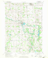 1969 Byron1971 Print · USGSByron and the Shiawassee River valley are captured here in the late sixties, showing a landscape of small villages and glacial lakes. Trace family history at Oakwood Cem or explore old local landmarks like the Byron Millpond and Lyndee Landing Strip.3 unique versions available
 - 1972 Map of Corunna SE, 1975 Print
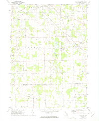 1972 Corunna SE1975 Print · USGSSoutheastern Shiawassee County is captured here in the early seventies, showing a landscape of small agricultural settlements and winding river valleys. Family historians can trace the locations of the Gaylord Cem, the community at Antrim Center, and the rural Antrim Ch.
 - 1983 Map of Lansing, 1984 Print
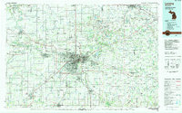 1983 Lansing1984 Print · USGSThe Lansing area and its surrounding river valleys are captured here in the early eighties. Genealogists and historians can trace the rail corridors of the Conrail or locate local landmarks like St Johns Ch and Greenwood Cem.
 - 1985 Map of Pontiac
 1985 Pontiac1985 Print · USGSSoutheast Michigan in the mid-1980s shows a landscape of growing suburban corridors and expansive public parklands. Genealogists and local historians can trace the footprint of rail lines like the Grand Trunk Western or locate family sites near Oakwood Cem and White Chapel Cem.2 unique versions available
 - 2011 Map of Corunna SE, 2011 Print
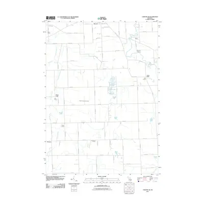 2011 Corunna SE2011 Print · USGSCentral Michigan's rural landscape is captured here in the decade before 2011, showing a region defined by its rivers and historic crossroads. Researchers can locate generational burial sites like Antrim Baptist Cemetery or trace the early paths of Antrim Center and Bancroft.
 - 2011 Map of Byron, 2011 Print
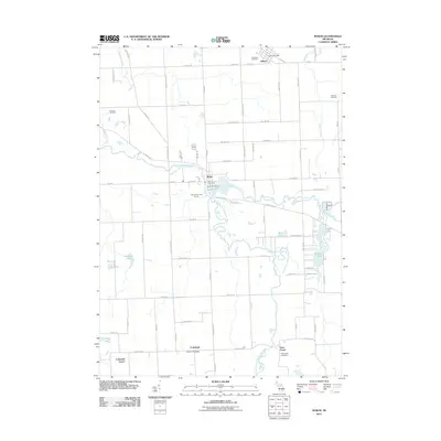 2011 Byron2011 Print · USGSByron and its neighboring townships appear in the early 21st century as a landscape defined by the winding Shiawassee River. Genealogists can locate several historic burial sites, including Oakwood Cemetery, or trace rural life through the Gaines Post Office and Cohoctah Center.
 - 2014 Map of Corunna SE, 2014 Print
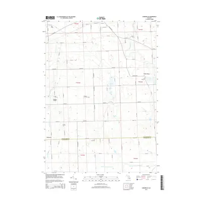 2014 Corunna SE2014 Print · USGSThe rural borders of Shiawassee and Livingston counties come into focus in the early twenty-first century. Genealogists and local historians can locate numerous family-named landmarks and burial sites, from Antrim Baptist Cem to Union Plains and Gaylord Cem.
 - 2014 Map of Byron, 2014 Print
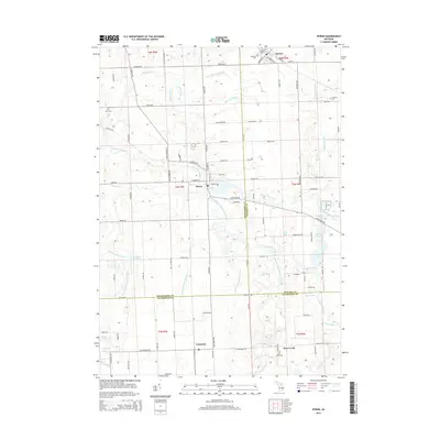 2014 Byron2014 Print · USGSThe tri-county borderlands of Michigan are detailed here in the early twenty-first century, centered on the historic village of Byron. Family historians can trace local roots through several landmarks including Byron Cemetery, Pine Tree Cemetery, and the settlement of Cohoctah.
 - 2017 Map of Corunna SE, 2017 Print
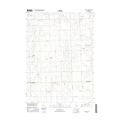 2017 Corunna SE2017 Print · USGSMid-Michigan farmland on the border of Shiawassee and Livingston Counties is captured here in the late twenty-teens. Genealogists and local historians can trace family locations through numerous rural burial sites like Cord Cem, Gaylord Cem, and Union Plains Cem.
 - 2017 Map of Byron, 2017 Print
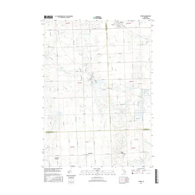 2017 Byron2017 Print · USGSShiawassee and Livingston counties meet in this 2017 survey of the agricultural heartland surrounding Byron. Genealogists and local historians can locate several historic cemeteries including Oakwood Cem and Byron Cem, while tracing the course of the Shiawassee River.
 - 2019 Map of Byron, 2019 Print
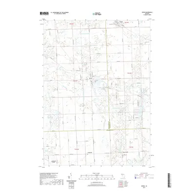 2019 Byron2019 Print · USGSThe rural borderlands of Livingston and Shiawassee counties appear here in the modern era, centered on the historic village of Byron. Researchers can trace old family burial sites at Atherton Cem and Oakwood Cem or follow the winding Shiawassee River.
 - 2019 Map of Corunna SE, 2019 Print
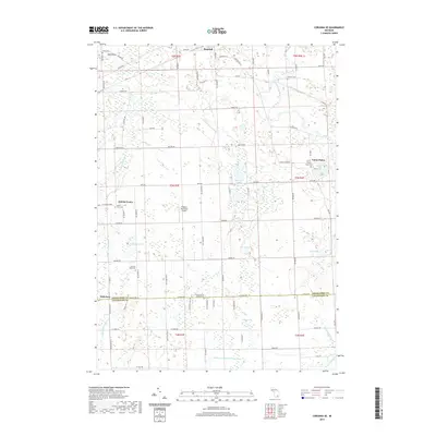 2019 Corunna SE2019 Print · USGSShiawassee and Livingston Counties appear here as a patchwork of small agricultural centers and glacial wetlands in the late 2010s. Family historians can locate several local burial sites like Union Plains Cem and Glass River Cem or trace the drainage of the Looking Glass River.
 - 2023 Map of Corunna SE, 2023 Print
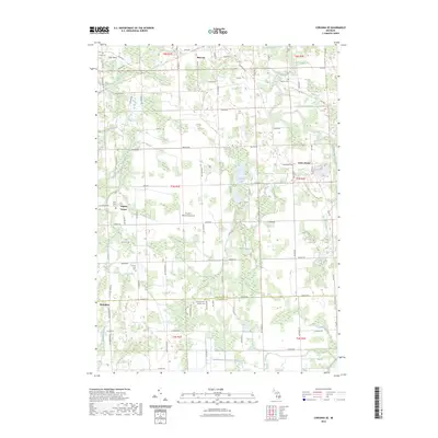 2023 Corunna SE2023 Print · USGSShiawassee and Livingston Counties are captured in this recent survey, showing the rural landscape surrounding Bancroft and Antrim Center. Researchers can locate several historic burial sites, including the Union Plains Cemetery and Scribner Road Cemetery, alongside landmarks like Pingston Aeroworks Airport.
 - 2023 Map of Byron, 2023 Print
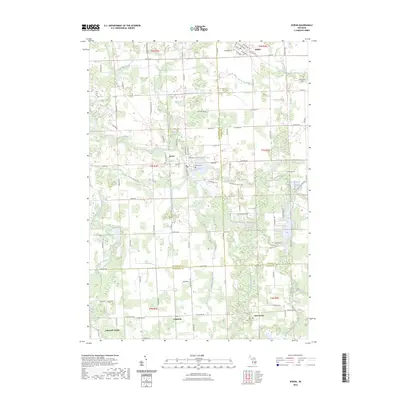 2023 Byron2023 Print · USGSThe rural borderlands where Shiawassee, Genesee, and Livingston counties converge are captured here in the early twenty-first century. Genealogists and local historians can trace family plots at Pine Tree Cem and Deer Creek Cem or locate the historic Byron Mill Pond.
End of results
Showing maps 1-25 of 25
Top cities near Burns Township
- Flint historical maps
- Genoa Charter Township historical maps
- Brighton Charter Township historical maps
- Owosso historical maps
- Hartland Township historical maps
- Oceola Township historical maps
See more
Top neighborhoods of Burns Township
Frequently asked questions
- What are the different types of historical maps available for Burns Township?
- What is the oldest map of Burns Township?
- Where can I purchase historical maps of Burns Township for my home or office?
- Where can I download high-res historical maps of Burns Township?
- Are there historical topographic maps available for Burns Township?
- Is there historical aerial imagery available for Burns Township?
- Where are historical maps of Burns Township sourced from?