Old Maps of Union Plains, Michigan for Academic Research
Study the evolution of Union Plains with 13 high-resolution historic maps. Whether you're teaching, researching, or modeling changes in land use, these maps provide essential visual documentation of urban, environmental, and geographic change.
- Analyze long-term change: Track patterns in development, transportation, and natural features.
- Ideal for environmental or urban studies: Support academic projects with primary historical map data.
- Use in the classroom or lab: Educators and researchers rely on these maps to bring historical context to life.
These maps are a powerful tool for teaching, research, and visualizing how Union Plains has changed over the decades.
Union Plains, MI maps
(13)- 1926 Map of Corunna, 1958 Print
 1926 Corunna1958 Print · USGSShiawassee County in the mid-twenties shows a landscape of busy rail junctions and productive farmland. Genealogists can trace family roots through numerous rural schools like Eddy Sch and settlements including Bancroft and Shiawasseetown.2 unique versions available
 - 1929 Map of Corunna
 1929 Corunna1929 Print · USGSShiawassee County thrives as a rail and industrial hub during the late twenties, centered on the growing cities of Owosso and Corunna. Genealogists can trace family roots through dozens of rural landmarks like Bennington No 1 School, Shiawasseetown, and the Electric Railway route.3 unique versions available
 - 1944 Map of Corunna
 1944 Corunna1944 Print · USGSMid-Michigan farming and industry converge in the 1940s as major rail lines like the Ann Arbor and Grand Trunk link the countryside. Researchers can trace dozens of rural school sites, from Octagon Sch to Hawkins Sch, alongside the waters of the Shiawassee River.
 - 1958 Map of Grand Rapids, 1973 Print
 1958 Grand Rapids1973 Print · USGSSouthern Michigan at the peak of the postwar era shows a landscape of burgeoning cities and new interstate highways. Trace family roots and regional growth in Grand Rapids, Battle Creek, and the glacial lake country around Gun Lake or Gull Lake.2 unique versions available
 - 1961 Map of Grand Rapids
 1961 Grand Rapids1961 Print · USGSSouthern Michigan at the dawn of the 1960s reveals a region shaped by major river systems and a robust rail network. Trace mid-century industrial growth and land use from Grand Rapids to the Fort Custer Military Reservation and Gun Lake.
 - 1962 Map of Grand Rapids
 1962 Grand Rapids1962 Print · USGSMid-century Southern Michigan is mapped here at a time of massive growth, showing the expanding urban footprints of Grand Rapids and Lansing. Researchers can trace the legacy of the Grand Trunk Western RR, find historic boundaries of the Fort Custer Military Reservation, or locate sporting camps around Gun Lake.2 unique versions available
 - 1972 Map of Corunna SE, 1975 Print
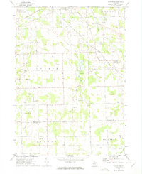 1972 Corunna SE1975 Print · USGSSoutheastern Shiawassee County is captured here in the early seventies, showing a landscape of small agricultural settlements and winding river valleys. Family historians can trace the locations of the Gaylord Cem, the community at Antrim Center, and the rural Antrim Ch.
 - 1983 Map of Lansing, 1984 Print
 1983 Lansing1984 Print · USGSThe Lansing area and its surrounding river valleys are captured here in the early eighties. Genealogists and historians can trace the rail corridors of the Conrail or locate local landmarks like St Johns Ch and Greenwood Cem.
 - 2011 Map of Corunna SE, 2011 Print
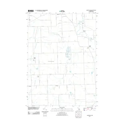 2011 Corunna SE2011 Print · USGSCentral Michigan's rural landscape is captured here in the decade before 2011, showing a region defined by its rivers and historic crossroads. Researchers can locate generational burial sites like Antrim Baptist Cemetery or trace the early paths of Antrim Center and Bancroft.
 - 2014 Map of Corunna SE, 2014 Print
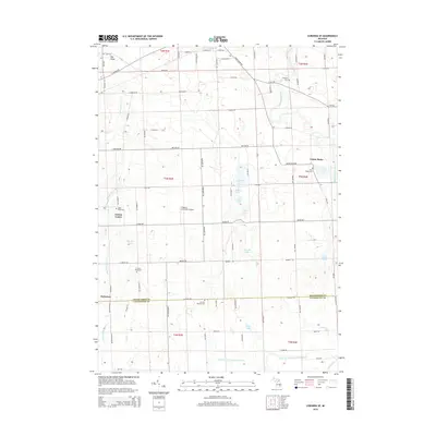 2014 Corunna SE2014 Print · USGSThe rural borders of Shiawassee and Livingston counties come into focus in the early twenty-first century. Genealogists and local historians can locate numerous family-named landmarks and burial sites, from Antrim Baptist Cem to Union Plains and Gaylord Cem.
 - 2017 Map of Corunna SE, 2017 Print
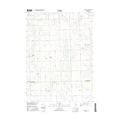 2017 Corunna SE2017 Print · USGSMid-Michigan farmland on the border of Shiawassee and Livingston Counties is captured here in the late twenty-teens. Genealogists and local historians can trace family locations through numerous rural burial sites like Cord Cem, Gaylord Cem, and Union Plains Cem.
 - 2019 Map of Corunna SE, 2019 Print
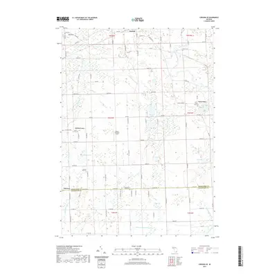 2019 Corunna SE2019 Print · USGSShiawassee and Livingston Counties appear here as a patchwork of small agricultural centers and glacial wetlands in the late 2010s. Family historians can locate several local burial sites like Union Plains Cem and Glass River Cem or trace the drainage of the Looking Glass River.
 - 2023 Map of Corunna SE, 2023 Print
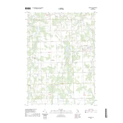 2023 Corunna SE2023 Print · USGSShiawassee and Livingston Counties are captured in this recent survey, showing the rural landscape surrounding Bancroft and Antrim Center. Researchers can locate several historic burial sites, including the Union Plains Cemetery and Scribner Road Cemetery, alongside landmarks like Pingston Aeroworks Airport.
End of results
Showing maps 1-13 of 13
Top cities near Union Plains
- Brighton Charter Township historical maps
- Owosso historical maps
- Hartland Township historical maps
- Oceola Township historical maps
- Howell historical maps
- Tyrone Township historical maps
See more
Frequently asked questions
- What are the different types of historical maps available for Union Plains?
- What is the oldest map of Union Plains?
- Where can I purchase historical maps of Union Plains for my home or office?
- Where can I download high-res historical maps of Union Plains?
- Are there historical topographic maps available for Union Plains?
- Is there historical aerial imagery available for Union Plains?
- Where are historical maps of Union Plains sourced from?