Old Maps of Rush Township, Michigan for Hiking & Exploration
Hike through history with 33 historic maps of Rush Township. Explore old trails, ghost towns, and forgotten backroads — perfect for outdoor adventurers and local explorers.
- Rediscover forgotten places: Map out old mining camps, roads, and footpaths that no longer exist on modern maps.
- Layer with modern tools: Combine with LiDAR or satellite views to plan hikes through historical terrain.
- Made for exploration: Popular among hikers, overlanders, and local history lovers.
Use these maps to find adventure and explore the hidden past of Rush Township.
Rush Township, MI maps
(33)- 1917 Map of Chesaning
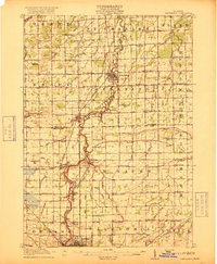 1917 Chesaning1917 Print · USGSSaginaw and Shiawassee Counties were thriving agricultural and rail hubs when this survey was completed in the mid-1910s. Genealogists and local historians can trace family roots through numerous country schoolhouses like Ziegler School and landmarks like the Sixmile Mine.4 unique versions available
 - 1918 Map of Elsie
 1918 Elsie1918 Print · USGSCentral Michigan farmland and river valleys are captured here at the end of the Great War. Genealogists can trace family roots through numerous schoolhouses like Elba Center School and early rail stops at Carland, Bannister, and Munson Crossing.3 unique versions available
 - 1943 Map of Chesaning
 1943 Chesaning1943 Print · USGSMid-Michigan's river-driven economy is on display here during the early 1940s, as the Shiawassee River winds through fertile farm country. Genealogists and researchers can locate dozens of country schoolhouses like Albert Sch and trace industrial sites including the Sixmile Mine.
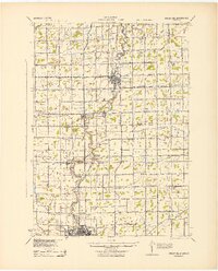
 - 1943 Map of Elsie, 1944 Print
 1943 Elsie1944 Print · USGSMid-century central Michigan is captured here during the wartime years, showing the intersection of four counties. Genealogists can locate dozens of country schoolhouses like Kelsey Sch and Munson Sch or trace family roots in settlements such as Elsie, Ashley, and Bannister.
 - 1954 Map of Midland, 1967 Print
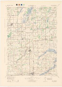
 1954 Midland1967 Print · USGSMid-Michigan at the peak of the post-war era shows a landscape balancing industrial growth in Midland with the deep timberlands of the Manistee National Forest. Researchers can trace the legacy of the timber and rail era along the Pennsylvania RR or find family roots in river towns like Chesaning and Big Rapids.4 unique versions available
 - 1958 Map of Midland
 1958 Midland1958 Print · USGSCentral Michigan in the late fifties is captured here during a period of transition for its university towns and industrial hubs. Genealogists and researchers can trace family lines through old rail-stop towns like Breckenridge and Chesaning or locate property near the Muskegon River and Prairie Farm.
 - 1959 Map of Midland
 1959 Midland1959 Print · USGSMid-century Michigan comes alive in this survey of the central Lower Peninsula, from the streets of Grand Rapids to the Houghton Lake timberlands. Genealogists and rail fans can trace the Ann Arbor RR and Chesapeake and Ohio RR through towns like Big Rapids and Mount Pleasant.
 - 1966 Map of Midland
 1966 Midland1966 Print · USGSCentral Michigan in the mid-1960s shows a landscape of growing manufacturing hubs and active resource extraction. Genealogists and historians can trace the rail corridors of the Grand Trunk Western or locate family-named landmarks near Oil wells and the Muskegon River.
 - 1974 Map of Ovid East, 1978 Print
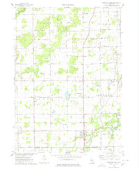
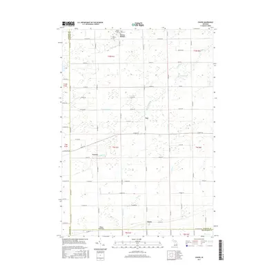
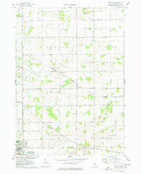 1974 Ovid East1978 Print · USGSShiawassee and Clinton Counties are captured here in the 1970s, showing a landscape shaped by rail transport and agrarian development. Genealogists can locate family landmarks like Hoovers Corners, Old Fairfield Cem, and the Juddville Brethren in Christ Ch.
 - 1974 Map of Chapin, 1978 Print
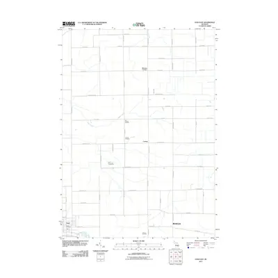
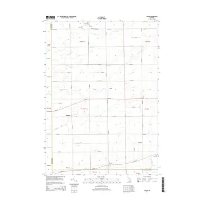
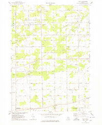 1974 Chapin1978 Print · USGSCentral Michigan farmland and managed game areas meet in the mid-1970s. Local researchers can locate family burial plots at St Theresa Cem, trace the rural community at Marion Springs, or find old school sites like Johns Sch.
 - 1974 Map of Chesaning West, 1978 Print
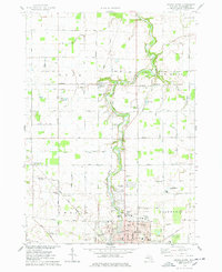
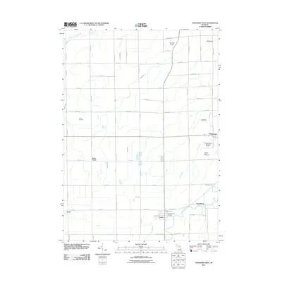
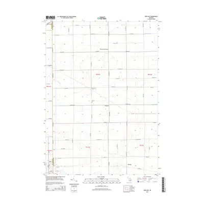
 1974 Chesaning West1978 Print · USGSSaginaw County farmland and river valleys are captured here in the mid-1970s. Trace local family history through old burial sites like Ridge Road Cem or explore the riverfront settlements of Oakley and Parshallburg (Havana).
 - 1974 Map of Owosso North, 1978 Print
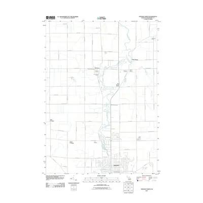
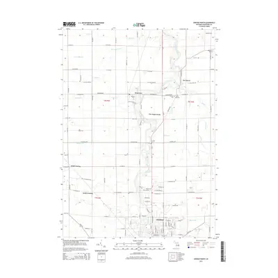
 1974 Owosso North1978 Print · USGSShiawassee County farmland and the northern reaches of Owosso are captured here in the mid-seventies, documenting a transitional period for local industry and rail. Genealogists can trace family names through sites like Old Henderson Cem and West Haven Cem or locate the rural Green Meadow Sch.
 - 1985 Map of Alma
 1985 Alma1985 Print · USGSCentral Michigan in the mid-eighties shows a landscape of steady agricultural communities and vital rail corridors. Genealogists and local historians can trace family roots through the detailed grids of Alma, Ithaca, and Chesaning, or locate rural landmarks like Riverside Cem and Lumberjack Land Airport.2 unique versions available
 - 2011 Map of Chapin, 2011 Print
 2011 Chapin2011 Print · USGSCovers Rush Township, including Chapin, Fairfield Township, and other nearby areas
 - 2011 Map of Owosso North, 2011 Print
 2011 Owosso North2011 Print · USGSCovers Rush Township, including Owosso, New Haven, and other nearby areas
 - 2011 Map of Chesaning West, 2011 Print
 2011 Chesaning West2011 Print · USGSCovers Rush Township, including Chesaning, Oakley, and other nearby areas
 - 2011 Map of Ovid East, 2011 Print
 2011 Ovid East2011 Print · USGSCovers Rush Township, including Ovid, Fairfield Township, and other nearby areas
 - 2014 Map of Chesaning West, 2014 Print
 2014 Chesaning West2014 Print · USGSCovers Rush Township, including Chesaning, Oakley, and other nearby areas
 - 2014 Map of Ovid East, 2014 Print
 2014 Ovid East2014 Print · USGSCovers Rush Township, including Ovid, Fairfield Township, and other nearby areas
 - 2014 Map of Owosso North, 2014 Print
 2014 Owosso North2014 Print · USGSCovers Rush Township, including Owosso, New Haven, and other nearby areas
 - 2014 Map of Chapin, 2014 Print
 2014 Chapin2014 Print · USGSCovers Rush Township, including Chapin, Fairfield Township, and other nearby areas
 - 2017 Map of Chapin, 2017 Print
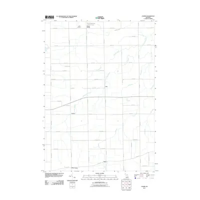
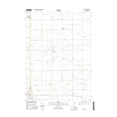
 2017 Chapin2017 Print · USGSCovers Rush Township, including Chapin, Fairfield Township, and other nearby areas
 - 2017 Map of Ovid East, 2017 Print
 2017 Ovid East2017 Print · USGSCovers Rush Township, including Ovid, Fairfield Township, and other nearby areas
 - 2017 Map of Owosso North, 2017 Print
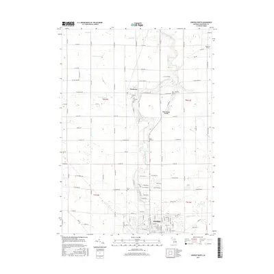 2017 Owosso North2017 Print · USGSCovers Rush Township, including Owosso, New Haven, and other nearby areas
 - 2017 Map of Chesaning West, 2017 Print
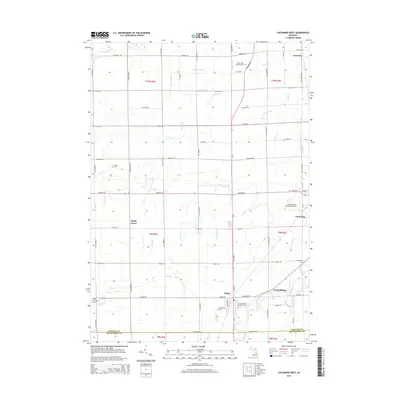
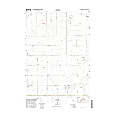 2017 Chesaning West2017 Print · USGSCovers Rush Township, including Chesaning, Oakley, and other nearby areas
Showing maps 1-25 of 33
Top cities near Rush Township
- Owosso historical maps
- Durand historical maps
- Ovid historical maps
- Corunna historical maps
- Bennington historical maps
- Chesaning historical maps
See more
Top neighborhoods of Rush Township
Frequently asked questions
- What are the different types of historical maps available for Rush Township?
- What is the oldest map of Rush Township?
- Where can I purchase historical maps of Rush Township for my home or office?
- Where can I download high-res historical maps of Rush Township?
- Are there historical topographic maps available for Rush Township?
- Is there historical aerial imagery available for Rush Township?
- Where are historical maps of Rush Township sourced from?