Old Maps of Shiawassee Township, Michigan for Genealogy
Trace your family roots with 31 historic maps of Shiawassee Township. These high-res maps reveal old neighborhoods, homesites, landmarks, and streets — helping you uncover where your ancestors lived and how the area evolved over time.
- Explore historic neighborhoods: Identify where your relatives may have lived in the 1800s or 1900s.
- Compare maps over time: Trace the changes in streets, buildings, and landmarks for multi-generational research.
- Perfect for genealogy & ancestry research: Used by family historians and researchers to map out lineage and migration.
These maps are an incredible resource for exploring your personal connection to Shiawassee Township's past.
Shiawassee Township, MI maps
(31)- 1926 Map of Corunna, 1958 Print
 1926 Corunna1958 Print · USGSShiawassee County in the mid-twenties shows a landscape of busy rail junctions and productive farmland. Genealogists can trace family roots through numerous rural schools like Eddy Sch and settlements including Bancroft and Shiawasseetown.2 unique versions available
 - 1929 Map of Corunna
 1929 Corunna1929 Print · USGSShiawassee County thrives as a rail and industrial hub during the late twenties, centered on the growing cities of Owosso and Corunna. Genealogists can trace family roots through dozens of rural landmarks like Bennington No 1 School, Shiawasseetown, and the Electric Railway route.3 unique versions available
 - 1944 Map of Corunna
 1944 Corunna1944 Print · USGSMid-Michigan farming and industry converge in the 1940s as major rail lines like the Ann Arbor and Grand Trunk link the countryside. Researchers can trace dozens of rural school sites, from Octagon Sch to Hawkins Sch, alongside the waters of the Shiawassee River.
 - 1958 Map of Grand Rapids, 1973 Print
 1958 Grand Rapids1973 Print · USGSSouthern Michigan at the peak of the postwar era shows a landscape of burgeoning cities and new interstate highways. Trace family roots and regional growth in Grand Rapids, Battle Creek, and the glacial lake country around Gun Lake or Gull Lake.2 unique versions available
 - 1961 Map of Grand Rapids
 1961 Grand Rapids1961 Print · USGSSouthern Michigan at the dawn of the 1960s reveals a region shaped by major river systems and a robust rail network. Trace mid-century industrial growth and land use from Grand Rapids to the Fort Custer Military Reservation and Gun Lake.
 - 1962 Map of Grand Rapids
 1962 Grand Rapids1962 Print · USGSMid-century Southern Michigan is mapped here at a time of massive growth, showing the expanding urban footprints of Grand Rapids and Lansing. Researchers can trace the legacy of the Grand Trunk Western RR, find historic boundaries of the Fort Custer Military Reservation, or locate sporting camps around Gun Lake.2 unique versions available
 - 1972 Map of Perry, 1975 Print
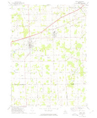 1972 Perry1975 Print · USGSMid-century Perry and Morrice are captured here as the Grand Trunk Western railroad defines the local industry. Researchers can trace family roots through Roselawn Cem or locate the private Dysinger Landing Strip.
 - 1972 Map of Owosso South, 1975 Print
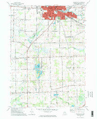 1972 Owosso South1975 Print · USGSMid-Michigan settlement and industry converge along the Shiawassee River during the early seventies. Researchers can trace local lineage through Oak Hill Cem or explore the campus footprints of John Wesley College and Spring Vale Academy.2 unique versions available
 - 1972 Map of Corunna SE, 1975 Print
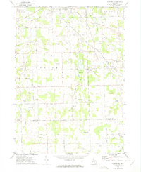 1972 Corunna SE1975 Print · USGSSoutheastern Shiawassee County is captured here in the early seventies, showing a landscape of small agricultural settlements and winding river valleys. Family historians can trace the locations of the Gaylord Cem, the community at Antrim Center, and the rural Antrim Ch.
 - 1972 Map of Corunna, 1975 Print
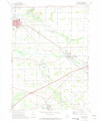 1972 Corunna1975 Print · USGSShiawassee County's river-valley settlements and rail corridors are captured in detail in the early 1970s. Researchers can trace the legacy of coal mining at the Strip Mine or locate family roots at rural sites like Hawkins Cem and Shiawasseetown.
 - 1983 Map of Lansing, 1984 Print
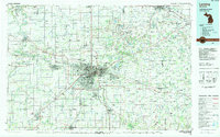 1983 Lansing1984 Print · USGSThe Lansing area and its surrounding river valleys are captured here in the early eighties. Genealogists and historians can trace the rail corridors of the Conrail or locate local landmarks like St Johns Ch and Greenwood Cem.
 - 2011 Map of Perry, 2011 Print
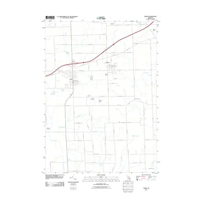 2011 Perry2011 Print · USGSPerry and Morrice anchor this rural Michigan landscape in the early twenty-first century, showing a well-developed grid of local roads and community centers. Genealogists can trace family locations through several burial sites like Roselawn and Howard Cemetery, or find the Dysinger Airport and Glenbrier Golf Course among the fields.
 - 2011 Map of Corunna, 2011 Print
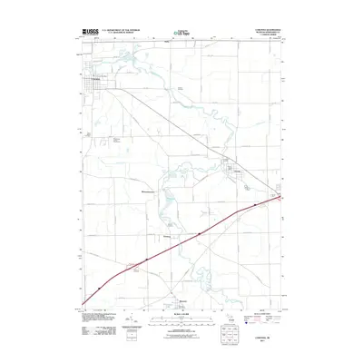 2011 Corunna2011 Print · USGSShiawassee County in the early twenty-first century remains defined by the winding Shiawassee River and its historic riverfront settlements. Researchers can trace local genealogy and civic growth through sites like Greenwood Cemetery, Shiawasseetown, and the Shiawassee County Fairgrounds.
 - 2011 Map of Corunna SE, 2011 Print
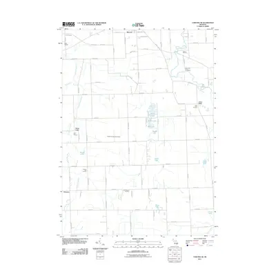 2011 Corunna SE2011 Print · USGSCentral Michigan's rural landscape is captured here in the decade before 2011, showing a region defined by its rivers and historic crossroads. Researchers can locate generational burial sites like Antrim Baptist Cemetery or trace the early paths of Antrim Center and Bancroft.
 - 2011 Map of Owosso South, 2011 Print
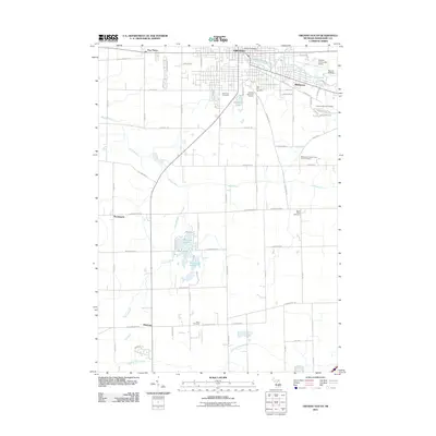 2011 Owosso South2011 Print · USGSShiawassee County in the early twenty-first century reveals a landscape where the urban reach of Owosso transitions into the fertile flats of central Michigan. Researchers can trace numerous local burial grounds such as Saint Paul Cemetery and the Shiawassee County Poor Farm Cemetery alongside landmarks like the Owosso Community Airport.
 - 2014 Map of Perry, 2014 Print
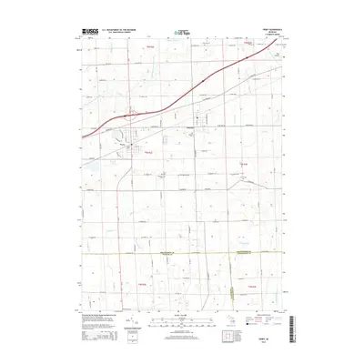 2014 Perry2014 Print · USGSShiawassee County and the surrounding tri-county border area are captured here in the early twenty-first century as the landscape balances its rural roots with modern transit. Researchers can trace local lineage through numerous sites like Roselawn Cem, find the rail-era footprint of Perry Station, and locate the small-scale Dysinger Airport.
 - 2014 Map of Corunna SE, 2014 Print
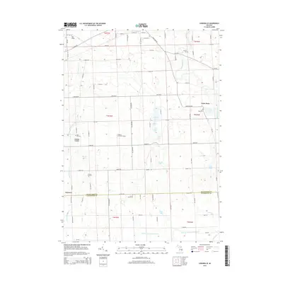 2014 Corunna SE2014 Print · USGSThe rural borders of Shiawassee and Livingston counties come into focus in the early twenty-first century. Genealogists and local historians can locate numerous family-named landmarks and burial sites, from Antrim Baptist Cem to Union Plains and Gaylord Cem.
 - 2014 Map of Corunna, 2014 Print
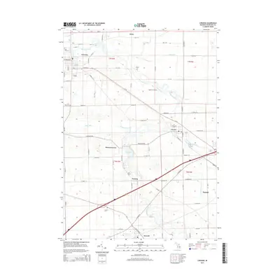 2014 Corunna2014 Print · USGSShiawassee County's river valley and rural crossroads come into focus during this early 21st-century survey. Researchers can trace family history through numerous burial grounds like Greenwood Cem and Fremont Cem or locate the old Corunna Station.
 - 2014 Map of Owosso South, 2014 Print
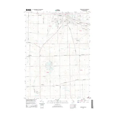 2014 Owosso South2014 Print · USGSThe Shiawassee River valley south of Owosso is captured here in the early 2010s as it maintains a balance of urban growth and rural heritage. Researchers can locate important burial sites such as Saint Paul Cem and Oak Grove Cem, or trace the path of the Maple River.
 - 2017 Map of Owosso South, 2017 Print
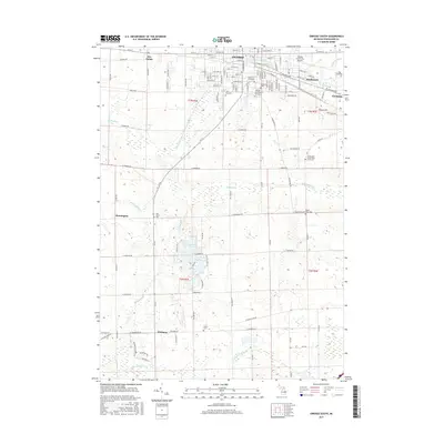 2017 Owosso South2017 Print · USGSThe Shiawassee County countryside south of Owosso comes into focus in this recent survey. Local historians can trace established communities like Corunna and Bennington alongside specialized sites such as the Shiawassee County Poor Farm Cem and Alton Cem.
 - 2017 Map of Corunna, 2017 Print
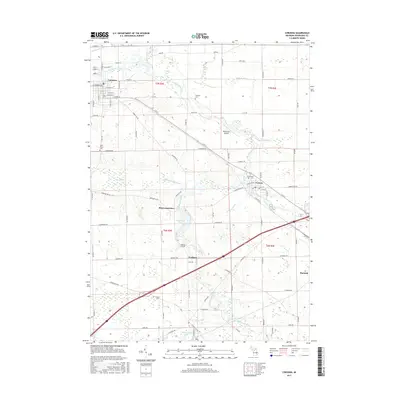 2017 Corunna2017 Print · USGSShiawassee County in the modern era shows a landscape defined by its river valleys and agricultural heritage. Researchers can trace historic burial sites like Hawkins Cem and early settlements including Shiawasseetown and Vernon.
 - 2017 Map of Perry, 2017 Print
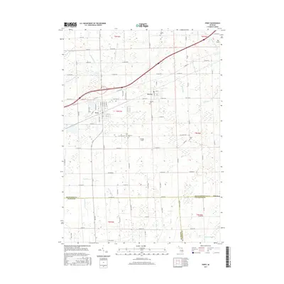 2017 Perry2017 Print · USGSShiawassee County farming communities and drainage networks are showcased here during the mid-2010s. Genealogists can locate family burial sites at Beard Cem and Roselawn Cem or trace the early settlement footprints of Perry and Morrice.
 - 2017 Map of Corunna SE, 2017 Print
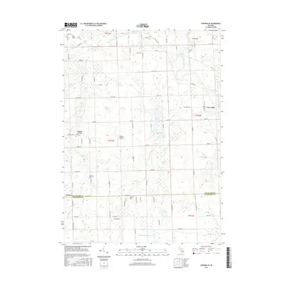 2017 Corunna SE2017 Print · USGSMid-Michigan farmland on the border of Shiawassee and Livingston Counties is captured here in the late twenty-teens. Genealogists and local historians can trace family locations through numerous rural burial sites like Cord Cem, Gaylord Cem, and Union Plains Cem.
 - 2019 Map of Corunna SE, 2019 Print
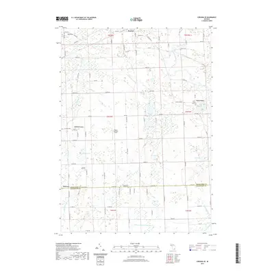 2019 Corunna SE2019 Print · USGSShiawassee and Livingston Counties appear here as a patchwork of small agricultural centers and glacial wetlands in the late 2010s. Family historians can locate several local burial sites like Union Plains Cem and Glass River Cem or trace the drainage of the Looking Glass River.
 - 2019 Map of Perry, 2019 Print
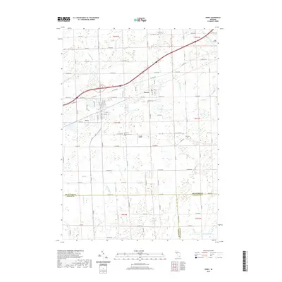 2019 Perry2019 Print · USGSThe borderlands of Shiawassee, Ingham, and Livingston counties are captured here in the late 2010s. Genealogists and local historians can locate several rural burying grounds like Rose Lawn Cem and Beard Cem, or trace the complex drainage of the Looking Glass River.
Showing maps 1-25 of 31
Top cities near Shiawassee Township
- Owosso historical maps
- Oceola Township historical maps
- Handy Township historical maps
- Howell Township historical maps
- Deerfield Township historical maps
- Durand historical maps
See more
Top neighborhoods of Shiawassee Township
Frequently asked questions
- What are the different types of historical maps available for Shiawassee Township?
- What is the oldest map of Shiawassee Township?
- Where can I purchase historical maps of Shiawassee Township for my home or office?
- Where can I download high-res historical maps of Shiawassee Township?
- Are there historical topographic maps available for Shiawassee Township?
- Is there historical aerial imagery available for Shiawassee Township?
- Where are historical maps of Shiawassee Township sourced from?