2000s (21st Century) Maps of Wisner Township, Michigan
Explore 20 historic maps of Wisner Township from the 2000s (21st Century). These maps offer a rare glimpse into what life looked like during the 2000s — showing old roads, neighborhoods, homes, and landmarks that have changed or disappeared over time.
Whether you're researching your family's past, planning a metal detecting trip, or studying how Wisner Township's landscape evolved across the 2000s, these high-resolution maps are a powerful tool for exploring the history of this region.
- Focus on a specific era: All maps on this page are from the 2000s, giving you a focused view of this time period.
- See what’s changed: Compare century-old streets, trails, and buildings to today's modern landscape using overlays and satellite layers.
- Research with precision: Use these maps for genealogy, historical research, land use analysis, or educational projects.
- View, download, or print: Maps are fully viewable online in high resolution, and can be downloaded or printed for your own records.
Start exploring Wisner Township's history through authentic maps from the 2000s. This is your window into the past.
Wisner Township, MI maps
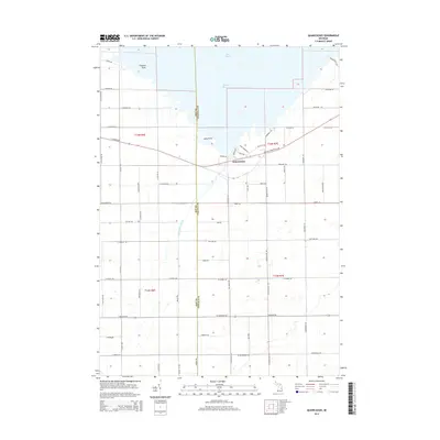
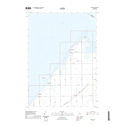
(20)- 2011 Map of Fish Point, 2011 Print
 2011 Fish Point2011 Print · USGSCovers Wisner Township, including Akron Township, Oakhurst, and other nearby areas
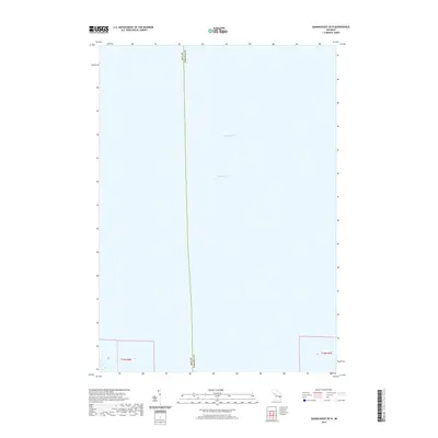
 - 2011 Map of Quanicassee OE N, 2011 Print
 2011 Quanicassee OE N2011 Print · USGSCovers Wisner Township, including Hampton Township, Bay County, and other nearby areas
 - 2011 Map of Fairgrove, 2011 Print
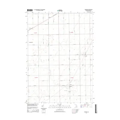
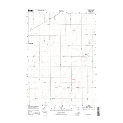
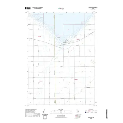
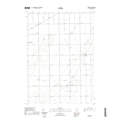
 2011 Fairgrove2011 Print · USGSCovers Wisner Township, including Fairgrove, Wisner, and other nearby areas
 - 2011 Map of Quanicassee, 2011 Print
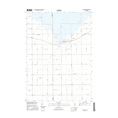
 2011 Quanicassee2011 Print · USGSCovers Wisner Township, including Gilford Township, Quanicassee, and other nearby areas
 - 2014 Map of Fairgrove, 2014 Print
 2014 Fairgrove2014 Print · USGSCovers Wisner Township, including Fairgrove, Wisner, and other nearby areas
 - 2014 Map of Quanicassee, 2014 Print
 2014 Quanicassee2014 Print · USGSCovers Wisner Township, including Gilford Township, Quanicassee, and other nearby areas
 - 2014 Map of Fish Point, 2014 Print
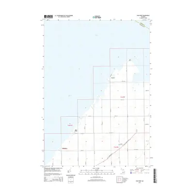 2014 Fish Point2014 Print · USGSCovers Wisner Township, including Akron Township, Oakhurst, and other nearby areas
 - 2014 Map of Quanicassee OE N, 2014 Print
 2014 Quanicassee OE N2014 Print · USGSCovers Wisner Township, including Hampton Township, Bay County, and other nearby areas
 - 2017 Map of Fairgrove, 2017 Print
 2017 Fairgrove2017 Print · USGSCovers Wisner Township, including Fairgrove, Wisner, and other nearby areas
 - 2017 Map of Quanicassee, 2017 Print
 2017 Quanicassee2017 Print · USGSCovers Wisner Township, including Gilford Township, Quanicassee, and other nearby areas
 - 2017 Map of Quanicassee OE N, 2017 Print
 2017 Quanicassee OE N2017 Print · USGSCovers Wisner Township, including Hampton Township, Bay County, and other nearby areas
 - 2017 Map of Fish Point, 2017 Print
 2017 Fish Point2017 Print · USGSCovers Wisner Township, including Akron Township, Oakhurst, and other nearby areas
 - 2019 Map of Quanicassee, 2019 Print
 2019 Quanicassee2019 Print · USGSCovers Wisner Township, including Gilford Township, Quanicassee, and other nearby areas
 - 2019 Map of Fairgrove, 2019 Print
 2019 Fairgrove2019 Print · USGSCovers Wisner Township, including Fairgrove, Wisner, and other nearby areas
 - 2019 Map of Fish Point, 2019 Print
 2019 Fish Point2019 Print · USGSCovers Wisner Township, including Akron Township, Oakhurst, and other nearby areas
 - 2019 Map of Quanicassee OE N, 2019 Print
 2019 Quanicassee OE N2019 Print · USGSCovers Wisner Township, including Hampton Township, Bay County, and other nearby areas
 - 2023 Map of Fairgrove, 2023 Print
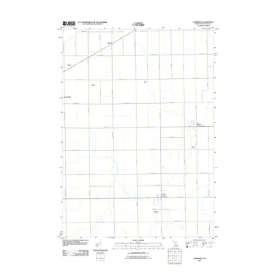
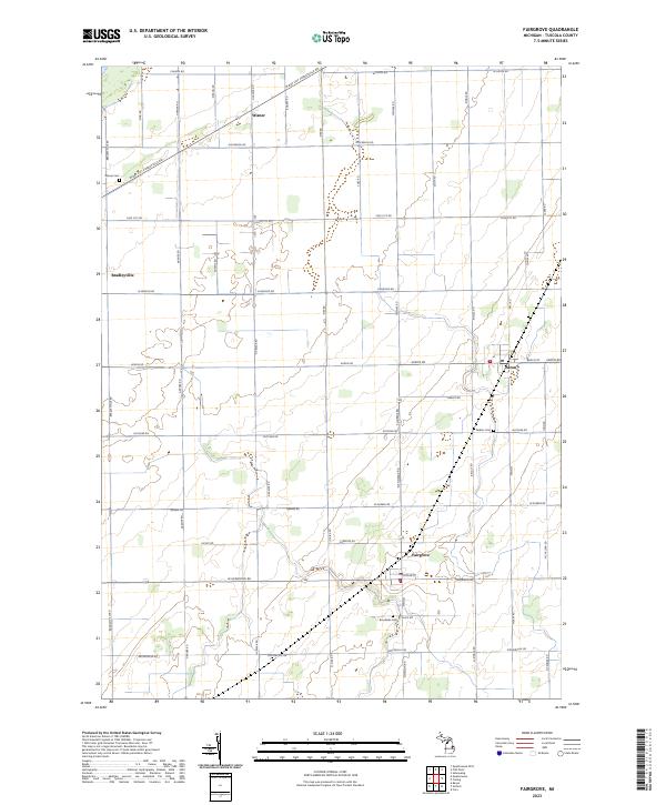 2023 Fairgrove2023 Print · USGSFairgrove and Akron appear in the heart of Tuscola County’s agricultural landscape during the 2020s. Researchers can trace rural lineages through the locations of Wisner Cemetery and Brookside Cemetery or locate old farmsteads along W Bay City Forestville Rd.
 - 2023 Map of Fish Point, 2023 Print
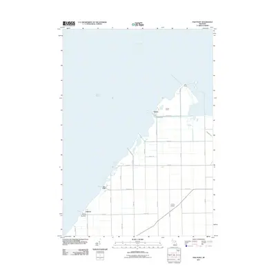
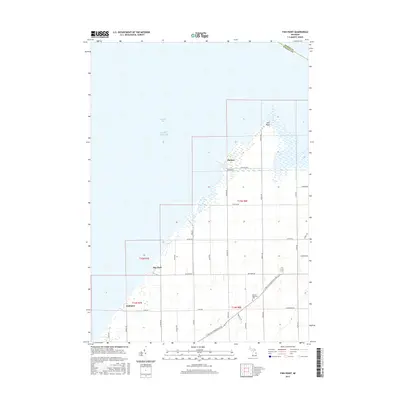
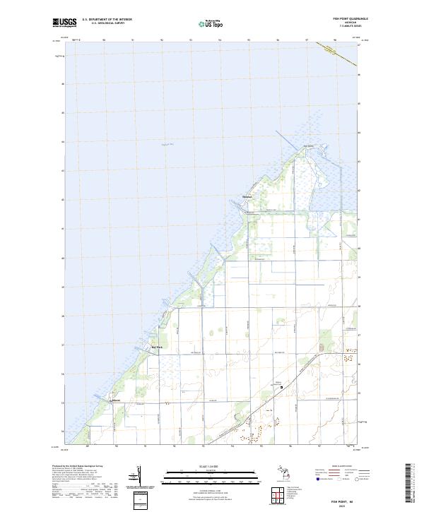 2023 Fish Point2023 Print · USGSThe shore of Saginaw Bay comes into focus in this contemporary survey of the Tuscola County coast. Genealogists and researchers can trace the roads and homestead sites surrounding Thomas, Bay Park, and the Hickory Highland Cem.
 - 2023 Map of Quanicassee OE N, 2023 Print
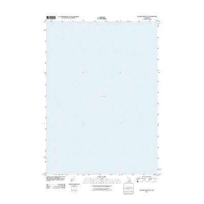
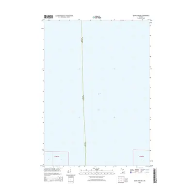
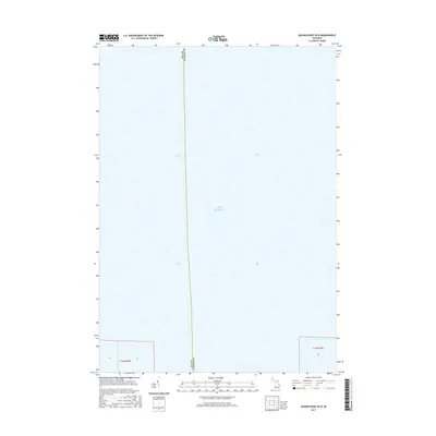
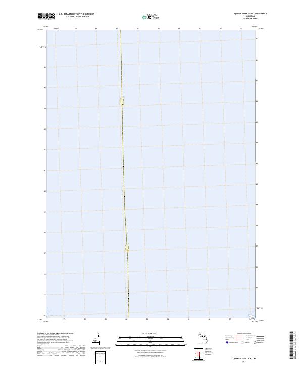 2023 Quanicassee OE N2023 Print · USGSSaginaw Bay dominates this modern coastal survey of the Michigan shoreline near the county line. Researchers can trace the administrative boundary of Bay Co Tuscola Co and examine the land segments in T14N R6E and T14N R7E.
 - 2023 Map of Quanicassee, 2023 Print
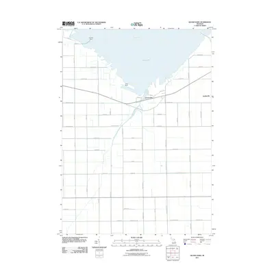
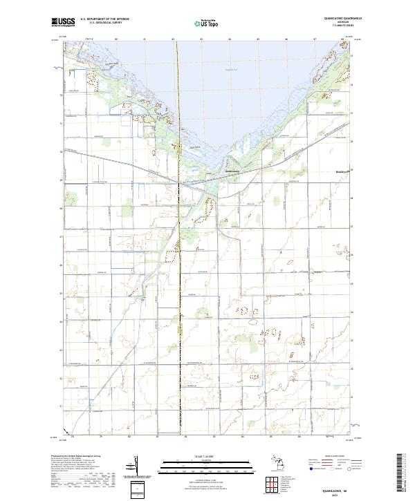 2023 Quanicassee2023 Print · USGSThe Saginaw Bay coastline near the Tuscola and Bay County line is shown here in the early 2020s, highlighting the unique wetland geography of the Quanicassee Marsh. Researchers can trace old thoroughfares like Old State Rd and locate landmarks such as Coryeon Point and the village of Quanicassee.
End of results
Showing maps 1-20 of 20
Top cities near Wisner Township
- Bay City historical maps
- Caro historical maps
- Essexville historical maps
- Sebewaing historical maps
- Reese historical maps
- Gilford historical maps
See more
Top neighborhoods of Wisner Township
Frequently asked questions
- What are the different types of historical maps available for Wisner Township?
- What is the oldest map of Wisner Township?
- Where can I purchase historical maps of Wisner Township for my home or office?
- Where can I download high-res historical maps of Wisner Township?
- Are there historical topographic maps available for Wisner Township?
- Is there historical aerial imagery available for Wisner Township?
- Where are historical maps of Wisner Township sourced from?