Old Maps of Wisner Township, Michigan for Metal Detecting
Plan your next treasure hunt with 26 historic maps of Wisner Township. Find old homesites, ghost towns, trails, and gathering spots that may be lost to time — perfect for identifying promising metal detecting locations.
- Locate forgotten sites: Uncover places like long-lost settlements, abandoned rail lines, or gathering spots.
- Plan better hunts: Use map overlays combined with LiDAR or satellite views to narrow in on historically rich areas.
- Made for detectorists: Thousands of hobbyists use these maps to discover relics, coins, and hidden history.
Use these historic maps to boost your research and find new opportunities beneath the surface of Wisner Township.
Wisner Township, MI maps
(26)- 1954 Map of Flint, 1968 Print
 1954 Flint1968 Print · USGSThe industrial corridor and fertile Thumb region of Michigan come alive in this mid-century survey. Genealogists and historians can trace the rail networks of the Grand Trunk, locate established settlements like Bad Axe and Sandusky, or explore the 1950s shoreline along Saginaw Bay.4 unique versions available
 - 1958 Map of Flint
 1958 Flint1958 Print · USGSThe Michigan Thumb and the Saginaw Valley are captured here during the height of the post-war industrial era. Researchers can trace the complex rail networks of the Grand Trunk Western or locate mid-century landmarks like Lakeport State Park and the port at Bay City.2 unique versions available
 - 1963 Map of Quanicassee, 1964 Print
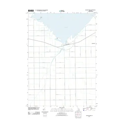
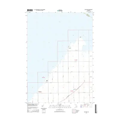
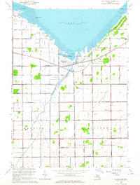 1963 Quanicassee1964 Print · USGSThe southern shores of Saginaw Bay come into focus in the early sixties, showing a landscape shaped by coastal marshes and a grid of rural roads. Genealogists and local historians can locate the Van Buren Sch, Mitchell Sch, and the community of Quanicassee at the river's mouth.2 unique versions available
 - 1963 Map of Fish Point, 1964 Print
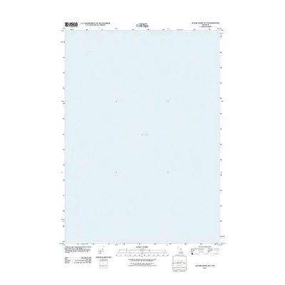
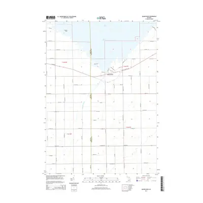
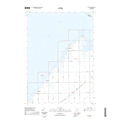
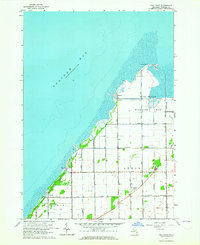 1963 Fish Point1964 Print · USGSSaginaw Bay’s southeastern shoreline is captured here in the early 1960s, showing a landscape of reclaimed marshlands and coastal hamlets. Genealogists and local historians can trace family locations near Hickory Highland Cem, the small settlement of Thomas, or the Townhall in the township of Wisner.3 unique versions available
 - 1963 Map of Fairgrove, 1964 Print
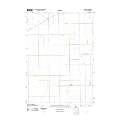
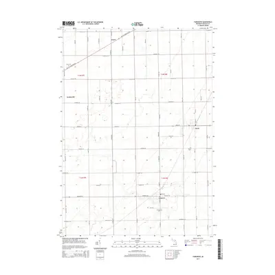
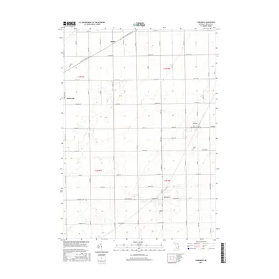
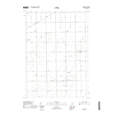
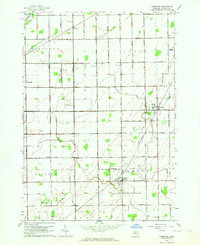 1963 Fairgrove1964 Print · USGSThe agricultural heart of Tuscola County is captured here in the early sixties as the sugar beet and bean fields prospered. Genealogists and local historians can locate rural landmarks like Battelle Sch, the Wisner Cem, and the village of Akron.2 unique versions available
 - 1984 Map of Bay City, 1985 Print
 1984 Bay City1985 Print · USGSSaginaw Bay and the surrounding Michigan thumb region are captured in the mid-1980s, showing a landscape defined by industrial riverfronts and expanding lakeside parks. Researchers can trace family roots through landmarks like Floral Gardens Cem or follow the Chesapeake and Ohio rail lines through towns like Bad Axe and Pigeon.
 - 2011 Map of Fish Point, 2011 Print
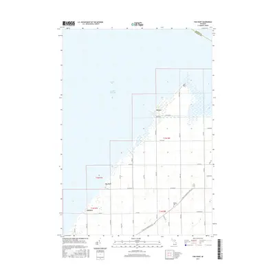
 2011 Fish Point2011 Print · USGSCovers Wisner Township, including Akron Township, Oakhurst, and other nearby areas
 - 2011 Map of Quanicassee OE N, 2011 Print
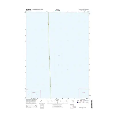
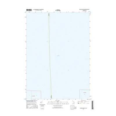
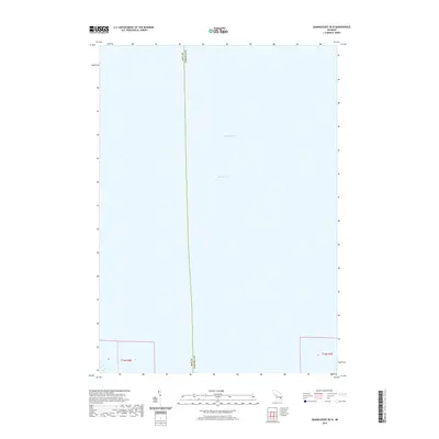
 2011 Quanicassee OE N2011 Print · USGSCovers Wisner Township, including Hampton Township, Bay County, and other nearby areas
 - 2011 Map of Fairgrove, 2011 Print
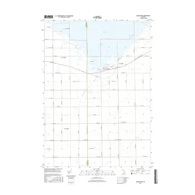
 2011 Fairgrove2011 Print · USGSCovers Wisner Township, including Fairgrove, Wisner, and other nearby areas
 - 2011 Map of Quanicassee, 2011 Print
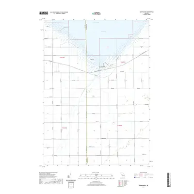
 2011 Quanicassee2011 Print · USGSCovers Wisner Township, including Gilford Township, Quanicassee, and other nearby areas
 - 2014 Map of Fairgrove, 2014 Print
 2014 Fairgrove2014 Print · USGSCovers Wisner Township, including Fairgrove, Wisner, and other nearby areas
 - 2014 Map of Quanicassee, 2014 Print
 2014 Quanicassee2014 Print · USGSCovers Wisner Township, including Gilford Township, Quanicassee, and other nearby areas
 - 2014 Map of Fish Point, 2014 Print
 2014 Fish Point2014 Print · USGSCovers Wisner Township, including Akron Township, Oakhurst, and other nearby areas
 - 2014 Map of Quanicassee OE N, 2014 Print
 2014 Quanicassee OE N2014 Print · USGSCovers Wisner Township, including Hampton Township, Bay County, and other nearby areas
 - 2017 Map of Fairgrove, 2017 Print
 2017 Fairgrove2017 Print · USGSCovers Wisner Township, including Fairgrove, Wisner, and other nearby areas
 - 2017 Map of Quanicassee, 2017 Print
 2017 Quanicassee2017 Print · USGSCovers Wisner Township, including Gilford Township, Quanicassee, and other nearby areas
 - 2017 Map of Quanicassee OE N, 2017 Print
 2017 Quanicassee OE N2017 Print · USGSCovers Wisner Township, including Hampton Township, Bay County, and other nearby areas
 - 2017 Map of Fish Point, 2017 Print
 2017 Fish Point2017 Print · USGSCovers Wisner Township, including Akron Township, Oakhurst, and other nearby areas
 - 2019 Map of Quanicassee, 2019 Print
 2019 Quanicassee2019 Print · USGSCovers Wisner Township, including Gilford Township, Quanicassee, and other nearby areas
 - 2019 Map of Fairgrove, 2019 Print
 2019 Fairgrove2019 Print · USGSCovers Wisner Township, including Fairgrove, Wisner, and other nearby areas
 - 2019 Map of Fish Point, 2019 Print
 2019 Fish Point2019 Print · USGSCovers Wisner Township, including Akron Township, Oakhurst, and other nearby areas
 - 2019 Map of Quanicassee OE N, 2019 Print
 2019 Quanicassee OE N2019 Print · USGSCovers Wisner Township, including Hampton Township, Bay County, and other nearby areas
 - 2023 Map of Fairgrove, 2023 Print
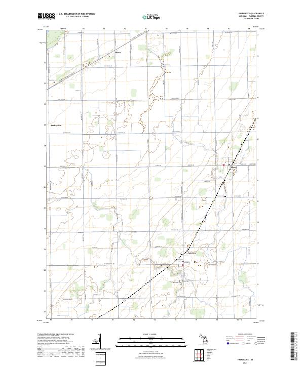 2023 Fairgrove2023 Print · USGSFairgrove and Akron appear in the heart of Tuscola County’s agricultural landscape during the 2020s. Researchers can trace rural lineages through the locations of Wisner Cemetery and Brookside Cemetery or locate old farmsteads along W Bay City Forestville Rd.
 - 2023 Map of Fish Point, 2023 Print
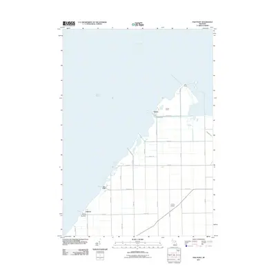
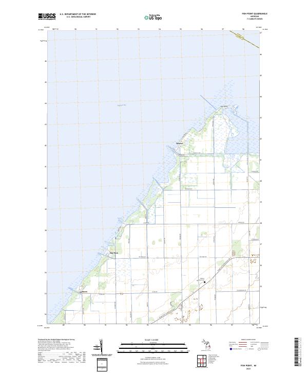 2023 Fish Point2023 Print · USGSThe shore of Saginaw Bay comes into focus in this contemporary survey of the Tuscola County coast. Genealogists and researchers can trace the roads and homestead sites surrounding Thomas, Bay Park, and the Hickory Highland Cem.
 - 2023 Map of Quanicassee OE N, 2023 Print
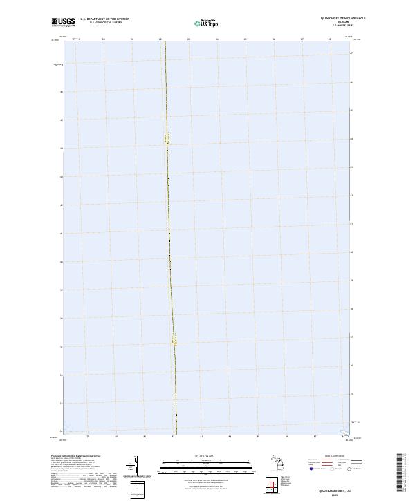 2023 Quanicassee OE N2023 Print · USGSSaginaw Bay dominates this modern coastal survey of the Michigan shoreline near the county line. Researchers can trace the administrative boundary of Bay Co Tuscola Co and examine the land segments in T14N R6E and T14N R7E.
Showing maps 1-25 of 26
Top cities near Wisner Township
- Bay City historical maps
- Caro historical maps
- Essexville historical maps
- Sebewaing historical maps
- Reese historical maps
- Gilford historical maps
See more
Top neighborhoods of Wisner Township
Frequently asked questions
- What are the different types of historical maps available for Wisner Township?
- What is the oldest map of Wisner Township?
- Where can I purchase historical maps of Wisner Township for my home or office?
- Where can I download high-res historical maps of Wisner Township?
- Are there historical topographic maps available for Wisner Township?
- Is there historical aerial imagery available for Wisner Township?
- Where are historical maps of Wisner Township sourced from?