2000s (21st Century) Maps of Ypsilanti Charter Township, Michigan
Explore 20 historic maps of Ypsilanti Charter Township from the 2000s (21st Century). These maps offer a rare glimpse into what life looked like during the 2000s — showing old roads, neighborhoods, homes, and landmarks that have changed or disappeared over time.
Whether you're researching your family's past, planning a metal detecting trip, or studying how Ypsilanti Charter Township's landscape evolved across the 2000s, these high-resolution maps are a powerful tool for exploring the history of this region.
- Focus on a specific era: All maps on this page are from the 2000s, giving you a focused view of this time period.
- See what’s changed: Compare century-old streets, trails, and buildings to today's modern landscape using overlays and satellite layers.
- Research with precision: Use these maps for genealogy, historical research, land use analysis, or educational projects.
- View, download, or print: Maps are fully viewable online in high resolution, and can be downloaded or printed for your own records.
Start exploring Ypsilanti Charter Township's history through authentic maps from the 2000s. This is your window into the past.
Ypsilanti Charter Township, MI maps
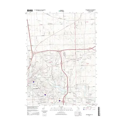
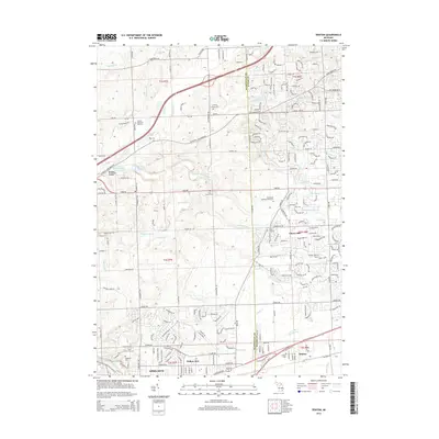
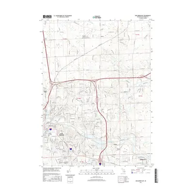
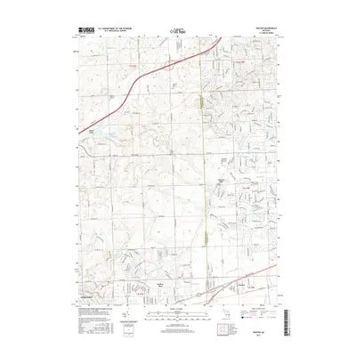
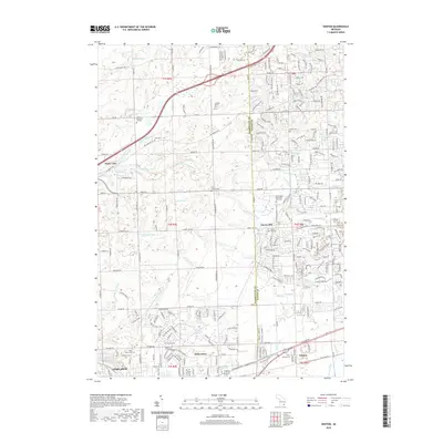
(20)- 2011 Map of Denton, 2011 Print
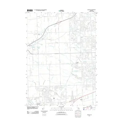 2011 Denton2011 Print · USGSCovers Ypsilanti Charter Township, including Canton Township, Van Buren Charter Township, and other nearby areas
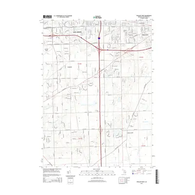
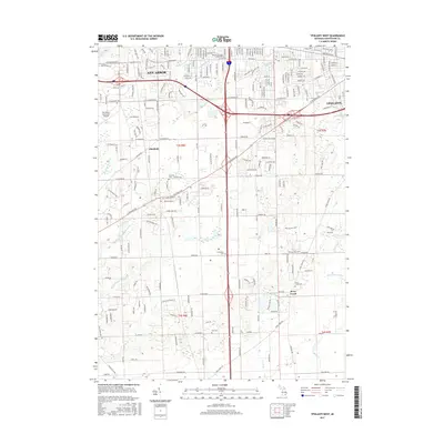
 - 2011 Map of Ypsilanti West, 2011 Print
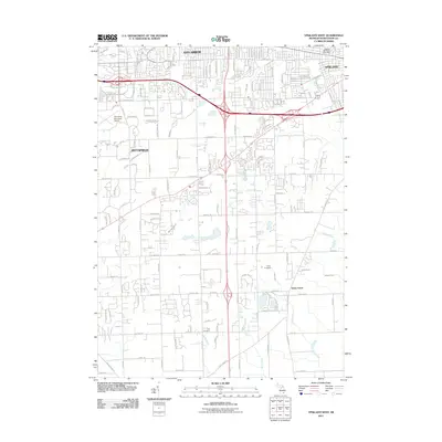 2011 Ypsilanti West2011 Print · USGSCovers Ypsilanti Charter Township, including Ann Arbor, Pittsfield Charter Township, and other nearby areas
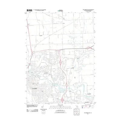
 - 2011 Map of Ypsilanti East, 2011 Print
 2011 Ypsilanti East2011 Print · USGSCovers Ypsilanti Charter Township, including Van Buren Charter Township, Ypsilanti, and other nearby areas
 - 2011 Map of Ann Arbor East, 2011 Print
 2011 Ann Arbor East2011 Print · USGSCovers Ypsilanti Charter Township, including Ann Arbor, Pittsfield Charter Township, and other nearby areas
 - 2014 Map of Ann Arbor East, 2014 Print
 2014 Ann Arbor East2014 Print · USGSCovers Ypsilanti Charter Township, including Ann Arbor, Pittsfield Charter Township, and other nearby areas
 - 2014 Map of Ypsilanti West, 2014 Print
 2014 Ypsilanti West2014 Print · USGSCovers Ypsilanti Charter Township, including Ann Arbor, Pittsfield Charter Township, and other nearby areas
 - 2014 Map of Ypsilanti East, 2014 Print
 2014 Ypsilanti East2014 Print · USGSCovers Ypsilanti Charter Township, including Van Buren Charter Township, Ypsilanti, and other nearby areas
 - 2014 Map of Denton, 2014 Print
 2014 Denton2014 Print · USGSCovers Ypsilanti Charter Township, including Canton Township, Van Buren Charter Township, and other nearby areas
 - 2017 Map of Ann Arbor East, 2017 Print
 2017 Ann Arbor East2017 Print · USGSCovers Ypsilanti Charter Township, including Ann Arbor, Pittsfield Charter Township, and other nearby areas
 - 2017 Map of Ypsilanti West, 2017 Print
 2017 Ypsilanti West2017 Print · USGSCovers Ypsilanti Charter Township, including Ann Arbor, Pittsfield Charter Township, and other nearby areas
 - 2017 Map of Ypsilanti East, 2017 Print
 2017 Ypsilanti East2017 Print · USGSCovers Ypsilanti Charter Township, including Van Buren Charter Township, Ypsilanti, and other nearby areas
 - 2017 Map of Denton, 2017 Print
 2017 Denton2017 Print · USGSCovers Ypsilanti Charter Township, including Canton Township, Van Buren Charter Township, and other nearby areas
 - 2019 Map of Ypsilanti East, 2019 Print
 2019 Ypsilanti East2019 Print · USGSCovers Ypsilanti Charter Township, including Van Buren Charter Township, Ypsilanti, and other nearby areas
 - 2019 Map of Ann Arbor East, 2019 Print
 2019 Ann Arbor East2019 Print · USGSCovers Ypsilanti Charter Township, including Ann Arbor, Pittsfield Charter Township, and other nearby areas
 - 2019 Map of Denton, 2019 Print
 2019 Denton2019 Print · USGSCovers Ypsilanti Charter Township, including Canton Township, Van Buren Charter Township, and other nearby areas
 - 2019 Map of Ypsilanti West, 2019 Print
 2019 Ypsilanti West2019 Print · USGSCovers Ypsilanti Charter Township, including Ann Arbor, Pittsfield Charter Township, and other nearby areas
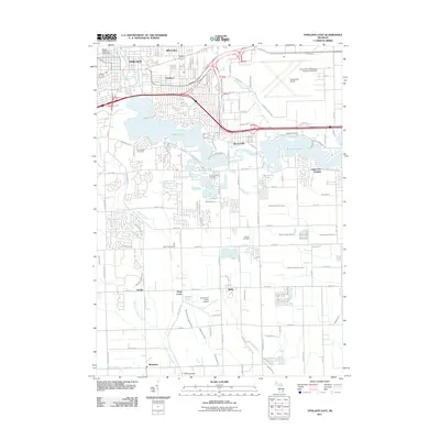
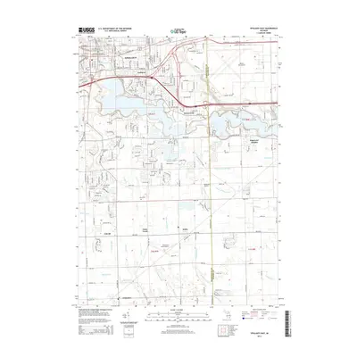
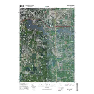
 - 2023 Map of Ypsilanti West, 2023 Print
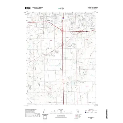
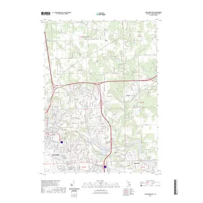
 2023 Ypsilanti West2023 Print · USGSWashtenaw County at the current day shows the continuing evolution of the corridor between Ann Arbor and Ypsilanti. Local historians can trace established landmarks and early burial sites like Pioneer Cem, Harwood Cem, and the historic settlement at Stony Creek.
 - 2023 Map of Ann Arbor East, 2023 Print
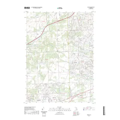
 2023 Ann Arbor East2023 Print · USGSThe eastern edges of Ann Arbor and the Huron River valley are captured here in the early twenty-first century. Researchers can trace the development of the University of Michigan and locate historic burial sites like Leland Cem and Oak Grove Cem.
 - 2023 Map of Ypsilanti East, 2023 Print
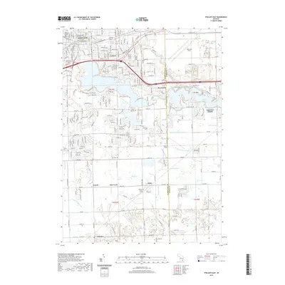
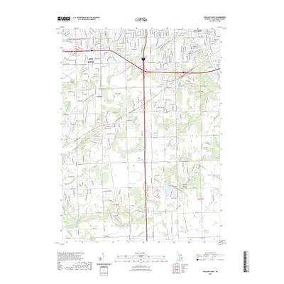
 2023 Ypsilanti East2023 Print · USGSThe Ypsilanti area and its eastern suburbs are shown here in the early twenty-first century, centered on the Huron River and its major reservoirs. Researchers can find deep-rooted local history at Spencer Cem, Willow Run Airport, and the Eastern Michigan University campus.
 - 2023 Map of Denton, 2023 Print
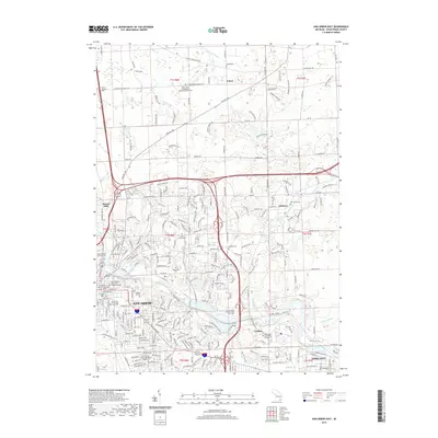
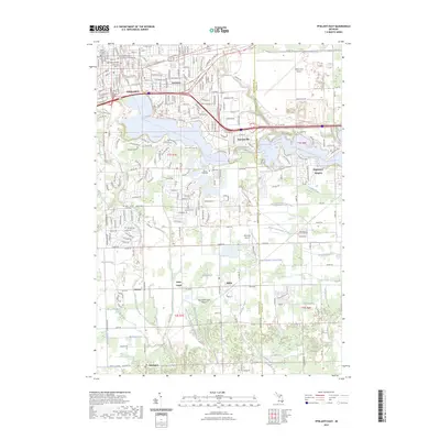
 2023 Denton2023 Print · USGSThe interface of Washtenaw and Wayne counties comes into focus in this contemporary record of suburban Michigan. Genealogists and local historians can trace legacy sites like the Laraway Family Plot, Cherry Hill Cem, and the historic Denton settlement.
End of results
Showing maps 1-20 of 20
Top cities near Ypsilanti Charter Township
- Ann Arbor historical maps
- Canton Township historical maps
- Canton Charter Township historical maps
- Livonia historical maps
- Westland historical maps
- Farmington Hills historical maps
See more
Top neighborhoods of Ypsilanti Charter Township
- Rawsonville historical maps
- Eastlawn historical maps
- East Cross-East Forest historical maps
- Gault Village historical maps
- Westlawn historical maps
- West Willow historical maps
Frequently asked questions
- What are the different types of historical maps available for Ypsilanti Charter Township?
- What is the oldest map of Ypsilanti Charter Township?
- Where can I purchase historical maps of Ypsilanti Charter Township for my home or office?
- Where can I download high-res historical maps of Ypsilanti Charter Township?
- Are there historical topographic maps available for Ypsilanti Charter Township?
- Is there historical aerial imagery available for Ypsilanti Charter Township?
- Where are historical maps of Ypsilanti Charter Township sourced from?