2000s (21st Century) Maps of Plymouth Charter Township, Michigan
Explore 20 historic maps of Plymouth Charter Township from the 2000s (21st Century). These maps offer a rare glimpse into what life looked like during the 2000s — showing old roads, neighborhoods, homes, and landmarks that have changed or disappeared over time.
Whether you're researching your family's past, planning a metal detecting trip, or studying how Plymouth Charter Township's landscape evolved across the 2000s, these high-resolution maps are a powerful tool for exploring the history of this region.
- Focus on a specific era: All maps on this page are from the 2000s, giving you a focused view of this time period.
- See what’s changed: Compare century-old streets, trails, and buildings to today's modern landscape using overlays and satellite layers.
- Research with precision: Use these maps for genealogy, historical research, land use analysis, or educational projects.
- View, download, or print: Maps are fully viewable online in high resolution, and can be downloaded or printed for your own records.
Start exploring Plymouth Charter Township's history through authentic maps from the 2000s. This is your window into the past.
Plymouth Charter Township, MI maps
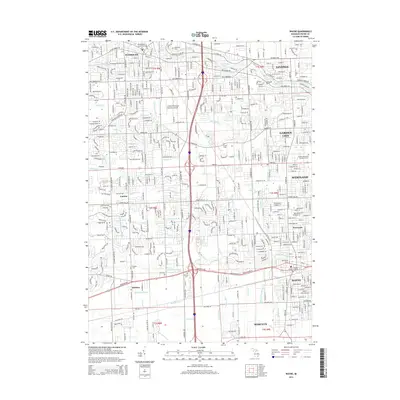
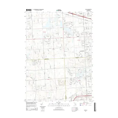
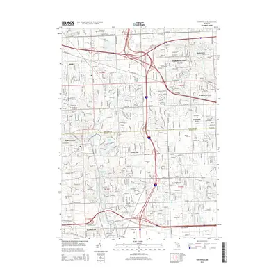
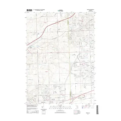
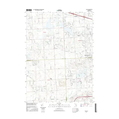
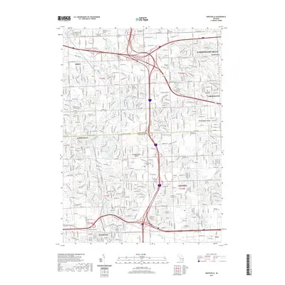
(20)- 2011 Map of Denton, 2011 Print
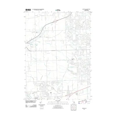 2011 Denton2011 Print · USGSCovers Plymouth Charter Township, including Canton Township, Ypsilanti Charter Township, and other nearby areas
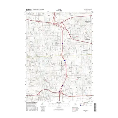
 - 2011 Map of Northville, 2011 Print
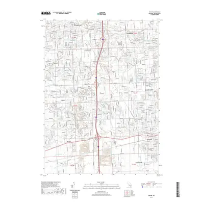
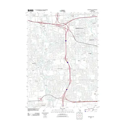 2011 Northville2011 Print · USGSCovers Plymouth Charter Township, including Livonia, Farmington Hills, and other nearby areas
 - 2011 Map of Salem, 2011 Print
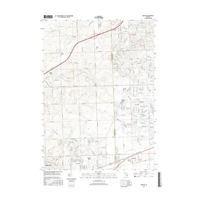
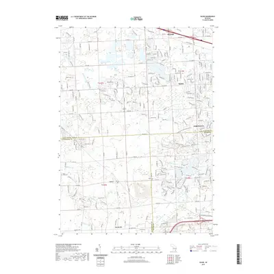
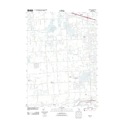 2011 Salem2011 Print · USGSCovers Plymouth Charter Township, including Novi, Northville Charter Township, and other nearby areas
 - 2011 Map of Wayne, 2011 Print
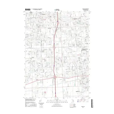
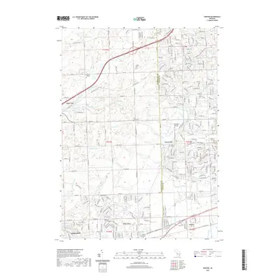
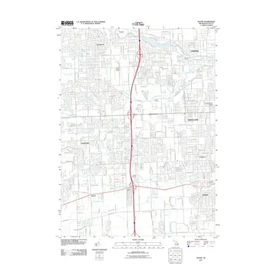 2011 Wayne2011 Print · USGSCovers Plymouth Charter Township, including Canton Charter Township, Canton Township, and other nearby areas
 - 2014 Map of Wayne, 2014 Print
 2014 Wayne2014 Print · USGSCovers Plymouth Charter Township, including Canton Charter Township, Canton Township, and other nearby areas
 - 2014 Map of Salem, 2014 Print
 2014 Salem2014 Print · USGSCovers Plymouth Charter Township, including Novi, Northville Charter Township, and other nearby areas
 - 2014 Map of Northville, 2014 Print
 2014 Northville2014 Print · USGSCovers Plymouth Charter Township, including Livonia, Farmington Hills, and other nearby areas
 - 2014 Map of Denton, 2014 Print
 2014 Denton2014 Print · USGSCovers Plymouth Charter Township, including Canton Township, Ypsilanti Charter Township, and other nearby areas
 - 2017 Map of Salem, 2017 Print
 2017 Salem2017 Print · USGSCovers Plymouth Charter Township, including Novi, Northville Charter Township, and other nearby areas
 - 2017 Map of Wayne, 2017 Print
 2017 Wayne2017 Print · USGSCovers Plymouth Charter Township, including Canton Charter Township, Canton Township, and other nearby areas
 - 2017 Map of Northville, 2017 Print
 2017 Northville2017 Print · USGSCovers Plymouth Charter Township, including Livonia, Farmington Hills, and other nearby areas
 - 2017 Map of Denton, 2017 Print
 2017 Denton2017 Print · USGSCovers Plymouth Charter Township, including Canton Township, Ypsilanti Charter Township, and other nearby areas
 - 2019 Map of Northville, 2019 Print
 2019 Northville2019 Print · USGSCovers Plymouth Charter Township, including Livonia, Farmington Hills, and other nearby areas
 - 2019 Map of Salem, 2019 Print
 2019 Salem2019 Print · USGSCovers Plymouth Charter Township, including Novi, Northville Charter Township, and other nearby areas
 - 2019 Map of Denton, 2019 Print
 2019 Denton2019 Print · USGSCovers Plymouth Charter Township, including Canton Township, Ypsilanti Charter Township, and other nearby areas
 - 2019 Map of Wayne, 2019 Print
 2019 Wayne2019 Print · USGSCovers Plymouth Charter Township, including Canton Charter Township, Canton Township, and other nearby areas
 - 2023 Map of Northville, 2023 Print
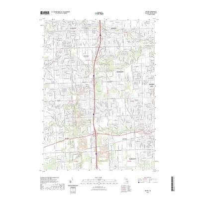
 2023 Northville2023 Print · USGSNorthville and Novi are shown here in the 2020s, highlighting the dense residential and educational corridor between Oakland and Wayne counties. Researchers can locate numerous local landmarks like Rural Hill Cem, Quaker Cem, and Schoolcraft College.
 - 2023 Map of Salem, 2023 Print
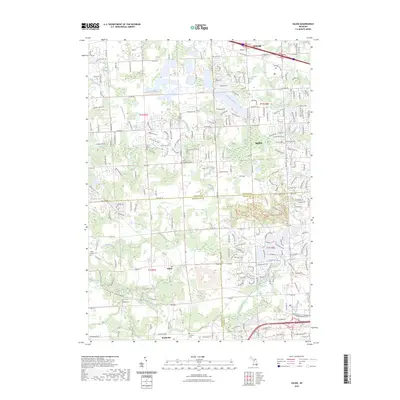 2023 Salem2023 Print · USGSThe crossroads of Oakland, Washtenaw, and Wayne counties are captured here in the early 2020s as residential growth meets rural heritage. Researchers can locate family sites at Lyon Township Cem, trace the Novi Lyon Drain, and explore the grounds of Maybury State Park.
 - 2023 Map of Denton, 2023 Print
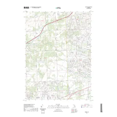 2023 Denton2023 Print · USGSThe interface of Washtenaw and Wayne counties comes into focus in this contemporary record of suburban Michigan. Genealogists and local historians can trace legacy sites like the Laraway Family Plot, Cherry Hill Cem, and the historic Denton settlement.
 - 2023 Map of Wayne, 2023 Print
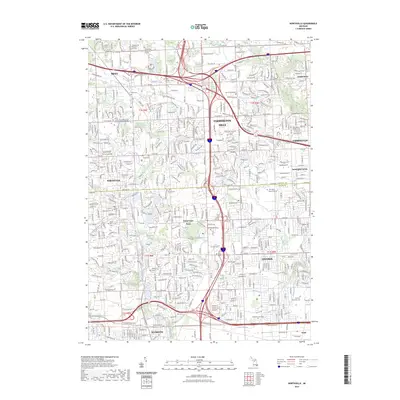
 2023 Wayne2023 Print · USGSWestern Wayne County is shown in its contemporary state of dense suburban development and complex water management. Researchers can locate local landmarks like the Canton-Plymouth-Mettetal Airport and historic burial grounds such as Old Wayne Cem and Sheldon Cem.
End of results
Showing maps 1-20 of 20
Top cities near Plymouth Charter Township
- Detroit historical maps
- Ann Arbor historical maps
- Canton Township historical maps
- Canton Charter Township historical maps
- Livonia historical maps
- Dearborn historical maps
See more
Frequently asked questions
- What are the different types of historical maps available for Plymouth Charter Township?
- What is the oldest map of Plymouth Charter Township?
- Where can I purchase historical maps of Plymouth Charter Township for my home or office?
- Where can I download high-res historical maps of Plymouth Charter Township?
- Are there historical topographic maps available for Plymouth Charter Township?
- Is there historical aerial imagery available for Plymouth Charter Township?
- Where are historical maps of Plymouth Charter Township sourced from?