2020s Maps of Slagle Township, Michigan
Explore 2 historic maps of Slagle Township from the 2020s. These maps offer a rare glimpse into what life looked like during the 2020s — showing old roads, neighborhoods, homes, and landmarks that have changed or disappeared over time.
Whether you're researching your family's past, planning a metal detecting trip, or studying how Slagle Township's landscape evolved across the 2020s, these high-resolution maps are a powerful tool for exploring the history of this region.
- Focus on a specific era: All maps on this page are from the 2020s, giving you a focused view of this time period.
- See what’s changed: Compare century-old streets, trails, and buildings to today's modern landscape using overlays and satellite layers.
- Research with precision: Use these maps for genealogy, historical research, land use analysis, or educational projects.
- View, download, or print: Maps are fully viewable online in high resolution, and can be downloaded or printed for your own records.
Start exploring Slagle Township's history through authentic maps from the 2020s. This is your window into the past.
Slagle Township, MI maps
(2)- 2023 Map of Harrietta, 2023 Print
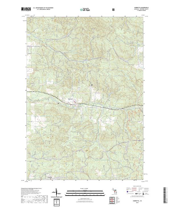 2023 Harrietta2023 Print · USGSWexford County's wooded highlands and the village of Harrietta are documented here during the early twenty-first century. Researchers can trace the local road network and find family landmarks like the Harrietta Cem and the settlement at Caberfae.
 - 2023 Map of Yuma, 2023 Print
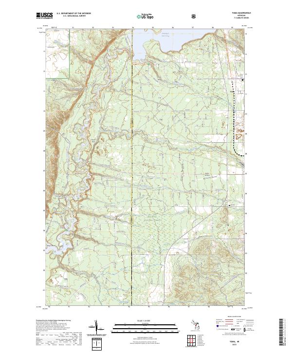 2023 Yuma2023 Print · USGSWexford and Manistee counties meet in this modern survey of the Manistee National Forest as it appeared in recent years. Researchers can trace the North Country National Scenic Trail or locate family roots at Yuma and the Section 16 Cem.
End of results
Showing maps 1-2 of 2
Top cities near Slagle Township
- Paradise Township historical maps
- Mayfield Township historical maps
- Grant Township historical maps
- Boon historical maps
- Buckley historical maps
- Mesick historical maps
See more
Frequently asked questions
- What are the different types of historical maps available for Slagle Township?
- What is the oldest map of Slagle Township?
- Where can I purchase historical maps of Slagle Township for my home or office?
- Where can I download high-res historical maps of Slagle Township?
- Are there historical topographic maps available for Slagle Township?
- Is there historical aerial imagery available for Slagle Township?
- Where are historical maps of Slagle Township sourced from?