2000s (21st Century) Maps of Circle Pines, Minnesota
Explore 10 historic maps of Circle Pines from the 2000s (21st Century). These maps offer a rare glimpse into what life looked like during the 2000s — showing old roads, neighborhoods, homes, and landmarks that have changed or disappeared over time.
Whether you're researching your family's past, planning a metal detecting trip, or studying how Circle Pines's landscape evolved across the 2000s, these high-resolution maps are a powerful tool for exploring the history of this region.
- Focus on a specific era: All maps on this page are from the 2000s, giving you a focused view of this time period.
- See what’s changed: Compare century-old streets, trails, and buildings to today's modern landscape using overlays and satellite layers.
- Research with precision: Use these maps for genealogy, historical research, land use analysis, or educational projects.
- View, download, or print: Maps are fully viewable online in high resolution, and can be downloaded or printed for your own records.
Start exploring Circle Pines's history through authentic maps from the 2000s. This is your window into the past.
Circle Pines, MN maps
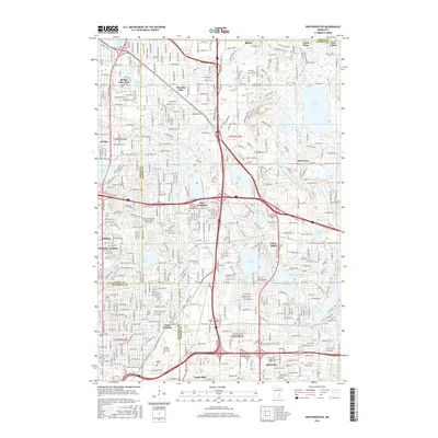
(10)- 2010 Map of New Brighton, 2010 Print
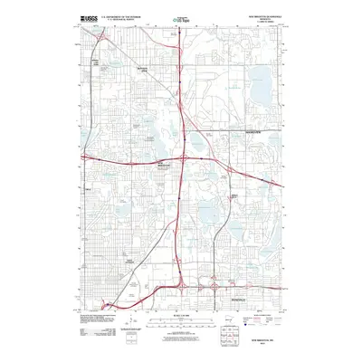 2010 New Brighton2010 Print · USGSCovers Circle Pines, including Minneapolis, Blaine, and other nearby areas
 - 2010 Map of Circle Pines, 2010 Print
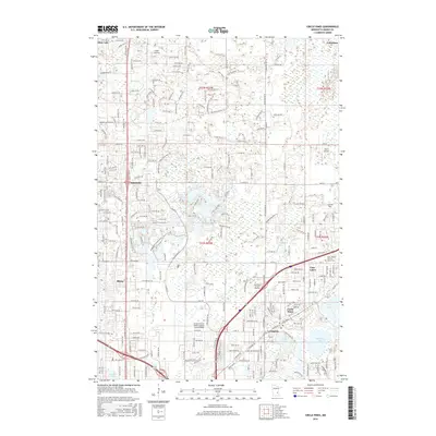
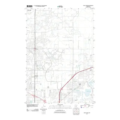 2010 Circle Pines2010 Print · USGSCovers Circle Pines, including Blaine, Lino Lakes, and other nearby areas
 - 2013 Map of Circle Pines, 2013 Print
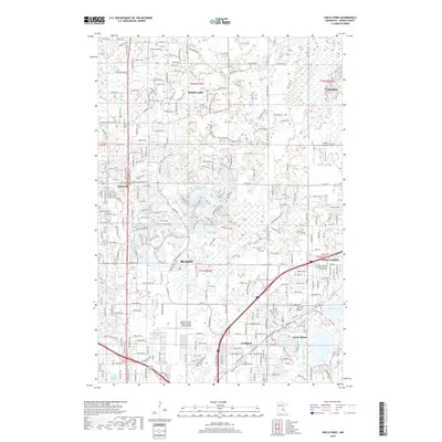
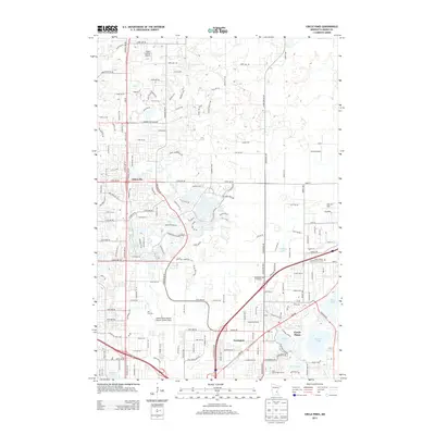 2013 Circle Pines2013 Print · USGSCovers Circle Pines, including Blaine, Lino Lakes, and other nearby areas
 - 2013 Map of New Brighton, 2013 Print
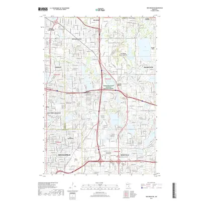
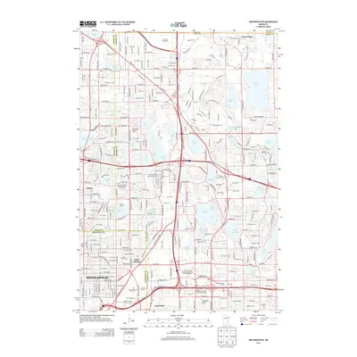 2013 New Brighton2013 Print · USGSCovers Circle Pines, including Minneapolis, Blaine, and other nearby areas
 - 2016 Map of Circle Pines, 2016 Print
 2016 Circle Pines2016 Print · USGSCovers Circle Pines, including Blaine, Lino Lakes, and other nearby areas
 - 2016 Map of New Brighton, 2016 Print
 2016 New Brighton2016 Print · USGSCovers Circle Pines, including Minneapolis, Blaine, and other nearby areas
 - 2019 Map of Circle Pines, 2019 Print
 2019 Circle Pines2019 Print · USGSCovers Circle Pines, including Blaine, Lino Lakes, and other nearby areas
 - 2019 Map of New Brighton, 2019 Print
 2019 New Brighton2019 Print · USGSCovers Circle Pines, including Minneapolis, Blaine, and other nearby areas
 - 2022 Map of Circle Pines, 2022 Print
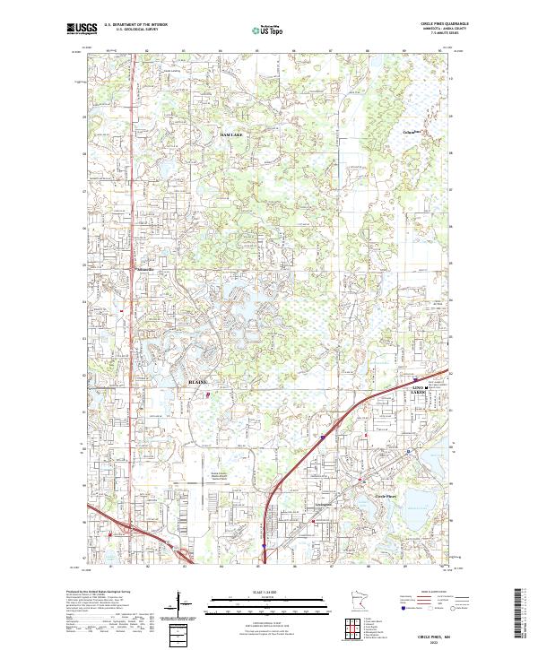 2022 Circle Pines2022 Print · USGSAnoka County's northern suburbs and chain of lakes are captured here in the early 2020s. Researchers can trace local development near Rice Lake, locate the Saint Joseph of the Lakes Catholic Church, and identify landmarks like Johnsville or Lino Air Park.
 - 2022 Map of New Brighton, 2022 Print
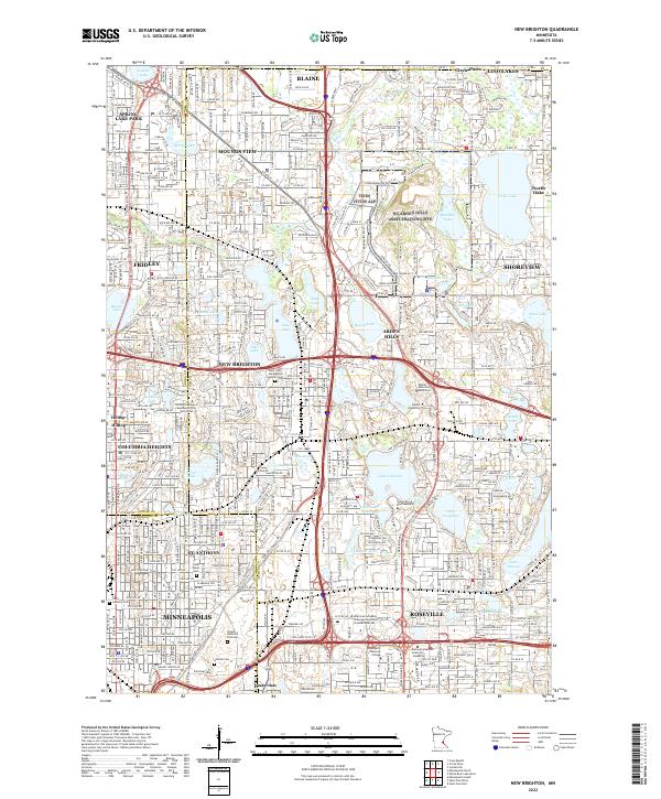 2022 New Brighton2022 Print · USGSThe northern Twin Cities suburbs are shown here in the contemporary era, where dense residential growth meets a landscape of glacial lakes. Genealogists and historians can locate legacy sites like Saint Mary's Cem and the Soo Line rail corridor.
End of results
Showing maps 1-10 of 10
Top cities near Circle Pines
- Minneapolis historical maps
- Saint Paul historical maps
- Brooklyn Park historical maps
- Woodbury historical maps
- Coon Rapids historical maps
- Blaine historical maps
See more
Frequently asked questions
- What are the different types of historical maps available for Circle Pines?
- What is the oldest map of Circle Pines?
- Where can I purchase historical maps of Circle Pines for my home or office?
- Where can I download high-res historical maps of Circle Pines?
- Are there historical topographic maps available for Circle Pines?
- Is there historical aerial imagery available for Circle Pines?
- Where are historical maps of Circle Pines sourced from?