Old Maps of Benton Township, Minnesota for Genealogy
Trace your family roots with 29 historic maps of Benton Township. These high-res maps reveal old neighborhoods, homesites, landmarks, and streets — helping you uncover where your ancestors lived and how the area evolved over time.
- Explore historic neighborhoods: Identify where your relatives may have lived in the 1800s or 1900s.
- Compare maps over time: Trace the changes in streets, buildings, and landmarks for multi-generational research.
- Perfect for genealogy & ancestry research: Used by family historians and researchers to map out lineage and migration.
These maps are an incredible resource for exploring your personal connection to Benton Township's past.
Benton Township, MN maps
(29)- 1953 Map of Saint Paul, 1964 Print
 1953 Saint Paul1964 Print · USGSThe Twin Cities and the Mississippi River valley are captured here at a mid-century turning point. Trace the early growth of Minneapolis and Saint Paul alongside landmarks like Lake Minnetonka and the St Croix River.4 unique versions available
 - 1957 Map of Belle Plaine, 1958 Print
 1957 Belle Plaine1958 Print · USGSThe Minnesota River valley serves as a bustling corridor for four counties during the late fifties, defined by its intersecting rail lines and riverside towns. Genealogists can locate family landmarks like West Union Ch, Zion Cem, and the Jessenland Fish Hatchery.2 unique versions available
 - 1957 Map of Waconia, 1959 Print
 1957 Waconia1959 Print · USGSCarver County and parts of Wright County are captured in the late fifties, showing a rural landscape in transition. Genealogists can trace family roots through numerous small schools and cemeteries, including St Mark Cem, Oakland Cem, and the Hydes Lake Sch.2 unique versions available
 - 1959 Map of Saint Paul
 1959 Saint Paul1959 Print · USGSThe Twin Cities and southeastern Minnesota appear here in the late fifties, showing the peak of the rail era and post-war suburban growth. Genealogists can trace family footprints near Lake Minnetonka, the Univ Of Minn Rosemount Research Center, or the growing neighborhoods of Richfield.2 unique versions available
 - 1981 Map of Norwood, 1982 Print
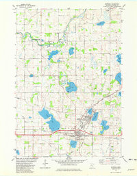 1981 Norwood1982 Print · USGSThe neighboring towns of Young America and Norwood are captured in the early eighties as separate centers tied by rail. Genealogists and historians can trace local family landmarks through Forest Hills Cem, Tiger Lake, and the crossing of two major railroads.
 - 1981 Map of Hamburg, 1982 Print
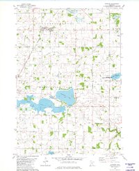 1981 Hamburg1982 Print · USGSThe prairie and wetlands of Carver and Sibley counties are captured here in the early 1980s, centered on the railroad town of Hamburg. Genealogists and researchers can trace rural life through several burial sites like Snapsburg Cem and the waters of Washington Lake.
 - 1981 Map of Waconia, 1982 Print
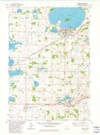 1981 Waconia1982 Print · USGSCarver County during the early eighties shows a landscape of glacial lakes and growing lakeside communities. Genealogists can locate family sites near St Josephs Cem, Scandia Cem, or rural schools like School No 104 while tracing the dual rail lines.2 unique versions available
 - 1981 Map of Belle Plaine North, 1982 Print
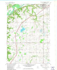 1981 Belle Plaine North1982 Print · USGSThe Minnesota River valley serves as the backdrop for this early 1980s look at rural Scott and Le Sueur counties. Researchers can trace historic local sites like Sacred Heart Cemetery, the Townhall, and the Chicago and North Western rail line.
 - 1985 Map of Saint Paul
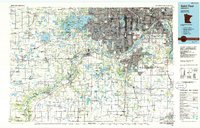 1985 Saint Paul1985 Print · USGSThe Twin Cities metropolitan area and its southern suburbs are captured here in the mid-eighties as the urban landscape expanded toward the Minnesota River. Researchers can trace the layout of the Fort Snelling Military Reservation, find local landmarks like St Benedict Church, and study the rail routes of the Soo Line.2 unique versions available
 - 2010 Map of Waconia, 2010 Print
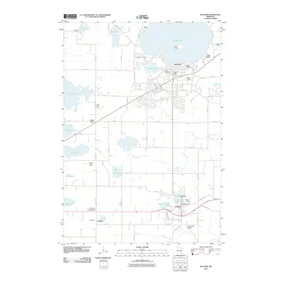 2010 Waconia2010 Print · USGSThe lakeside community of Waconia and the surrounding Carver County farmsteads are captured here in the early twenty-first century. Genealogists and local researchers can locate numerous historic burial sites and rural landmarks, from Waconia Public Cemetery to the Hydes Lake School.
 - 2010 Map of Hamburg, 2010 Print
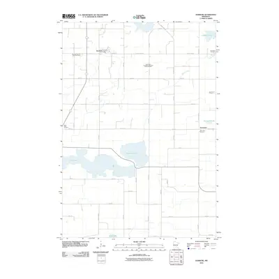 2010 Hamburg2010 Print · USGSCarver County’s agricultural heartland is documented here in the early twenty-first century, showing the established grid of country roads. Researchers can trace local roots through numerous sites like Assumption, the Bovy Family Cemetery, and Washington Lake.
 - 2010 Map of Norwood, 2010 Print
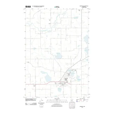 2010 Norwood2010 Print · USGSThe community of Norwood Young America is captured here during a period of local growth amidst its traditional lake-dotted landscape. Researchers can trace numerous family and parish sites, from the Crow River Cemetery to the historic Mielke School and Faxon Court.
 - 2010 Map of Belle Plaine North, 2010 Print
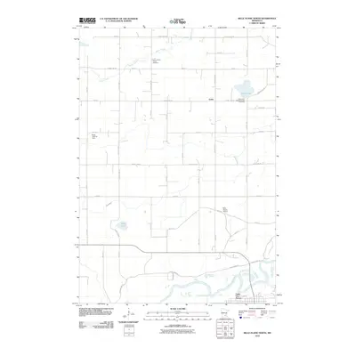 2010 Belle Plaine North2010 Print · USGSThe Minnesota River valley meets the agricultural plains of Scott County in the late 2000s, showing a landscape of structured farmsteads and rural parishes. Family historians can trace local roots at Zion Lutheran Cemetery or locate landmarks like Gotha and the Sons Landing Strip.
 - 2013 Map of Hamburg, 2013 Print
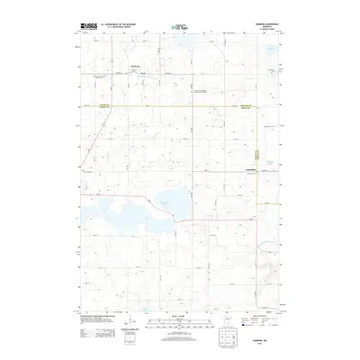 2013 Hamburg2013 Print · USGSCarver and Sibley Counties are shown here during the early twenty-first century, preserving a landscape of small settlements and family-named landmarks. Genealogists can trace local history through the Bovy Family Cem, Snapsburg Cem, and the community at Assumption.
 - 2013 Map of Waconia, 2013 Print
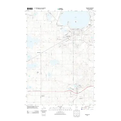 2013 Waconia2013 Print · USGSThe lakeside community of Waconia and its surrounding agricultural townships are captured here during a period of steady growth. Researchers can trace family roots at Saint Joseph's Cemetery or locate old rural centers like Bongards and Cologne.
 - 2013 Map of Belle Plaine North, 2013 Print
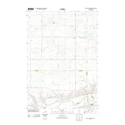 2013 Belle Plaine North2013 Print · USGSThe Minnesota River valley and the rural uplands of Scott, Sibley, and Carver counties are shown in detail during the early twenty-first century. Genealogists and local historians can locate the Zion Lutheran Church Cem, the settlement of Gotha, and the northern edge of Belle Plaine.
 - 2013 Map of Norwood, 2013 Print
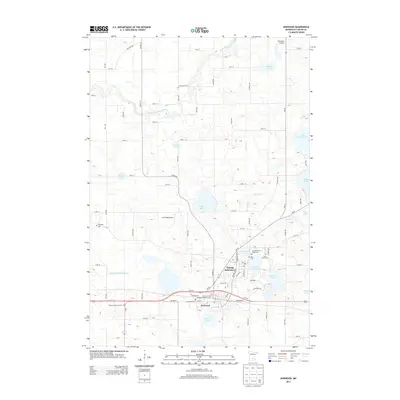 2013 Norwood2013 Print · USGSNorwood and Young America are shown as they grew together in the early twenty-first century, anchored by the rail corridor and a series of glacial lakes. Local historians can trace numerous family sites at Crow River Cem, Reformed Church Cem, and Ferguson Cem.
 - 2016 Map of Belle Plaine North, 2016 Print
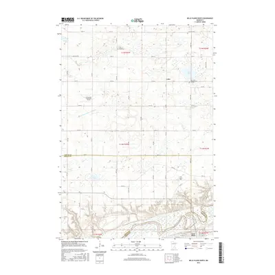 2016 Belle Plaine North2016 Print · USGSBelle Plaine and the surrounding prairie of Scott and Sibley counties are shown in high detail during the mid-2010s. Genealogists can trace family heritage at Zion Lutheran Church Cem or follow the path of the Minnesota River through the river valley.
 - 2016 Map of Waconia, 2016 Print
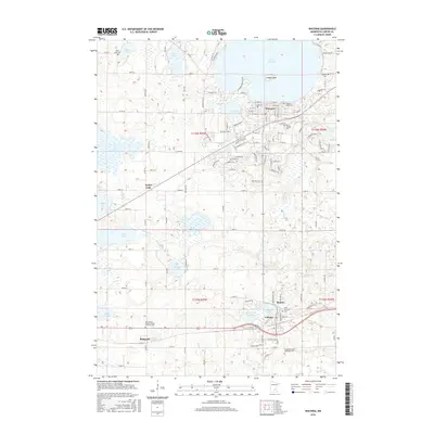 2016 Waconia2016 Print · USGSCarver County’s lake-country landscape is captured here in the mid-2010s, showing the growth of Waconia and Cologne amidst a dense network of glacial basins. Researchers can locate several family and parish burial grounds like Saint Josephs Cem and Saint Bernard Cem or trace the TC & W RR through the settlements of Benton and Bongards.
 - 2016 Map of Norwood, 2016 Print
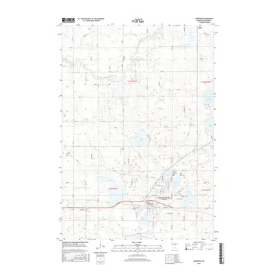 2016 Norwood2016 Print · USGSCarver County settlement patterns and glacial geography are on full display in this mid-2010s survey of Norwood Young America. Researchers can trace local genealogy through numerous sites like Saint Johns Cem, Ferguson Cem, and the Reformed Church Cem.
 - 2016 Map of Hamburg, 2016 Print
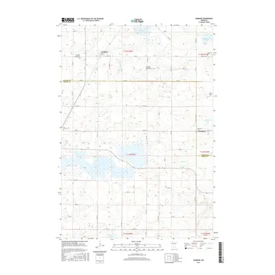 2016 Hamburg2016 Print · USGSThe rural Carver and Sibley County borderlands remained a mosaic of family farms and parish cemeteries well into the twenty-first century. Genealogists can trace local heritage through sites like the Bovy Family Cem, Assumption Cem, and the settlement of Hamburg.
 - 2019 Map of Hamburg, 2019 Print
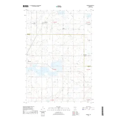 2019 Hamburg2019 Print · USGSCarver and Sibley counties are captured here in a 2019 survey of the Minnesota prairie, featuring fertile farmland and numerous glacial lakes. Researchers can locate many burial sites and community centers, including Assumption, the Snapsburg Cem, and Washington Lake.
 - 2019 Map of Waconia, 2019 Print
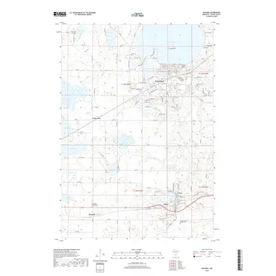 2019 Waconia2019 Print · USGSCarver County’s lake country is captured in detail here, showing the growth of Waconia and Cologne amidst a complex glacial landscape. Researchers can trace local heritage through numerous sites like Scandia Cemetery, Bongards, and the landmarks surrounding Lake Waconia.
 - 2019 Map of Belle Plaine North, 2019 Print
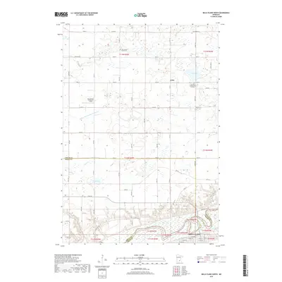 2019 Belle Plaine North2019 Print · USGSBelle Plaine and the agricultural lands of Scott and Carver counties are shown in detail during the late 2010s. Researchers can locate local burial grounds like Zion Lutheran Church Cem or trace the drainage of Judicial Ditch Number Twentytwo.
 - 2019 Map of Norwood, 2019 Print
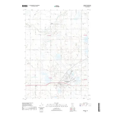 2019 Norwood2019 Print · USGSCarver County’s agricultural and lakeside communities are captured here in the late 2010s as they balance rural heritage with residential growth. Researchers can trace deep family roots through numerous sites like Ferguson Cem, Mau Cem, and the Reformed Church Cem near Norwood.
Showing maps 1-25 of 29
Top cities near Benton Township
- Chaska historical maps
- Chanhassen historical maps
- Mound historical maps
- Waconia historical maps
- Orono historical maps
- New Prague historical maps
See more
Top neighborhoods of Benton Township
Frequently asked questions
- What are the different types of historical maps available for Benton Township?
- What is the oldest map of Benton Township?
- Where can I purchase historical maps of Benton Township for my home or office?
- Where can I download high-res historical maps of Benton Township?
- Are there historical topographic maps available for Benton Township?
- Is there historical aerial imagery available for Benton Township?
- Where are historical maps of Benton Township sourced from?