2000s (21st Century) Maps of Hancock Township, Minnesota
Explore 10 historic maps of Hancock Township from the 2000s (21st Century). These maps offer a rare glimpse into what life looked like during the 2000s — showing old roads, neighborhoods, homes, and landmarks that have changed or disappeared over time.
Whether you're researching your family's past, planning a metal detecting trip, or studying how Hancock Township's landscape evolved across the 2000s, these high-resolution maps are a powerful tool for exploring the history of this region.
- Focus on a specific era: All maps on this page are from the 2000s, giving you a focused view of this time period.
- See what’s changed: Compare century-old streets, trails, and buildings to today's modern landscape using overlays and satellite layers.
- Research with precision: Use these maps for genealogy, historical research, land use analysis, or educational projects.
- View, download, or print: Maps are fully viewable online in high resolution, and can be downloaded or printed for your own records.
Start exploring Hancock Township's history through authentic maps from the 2000s. This is your window into the past.
Hancock Township, MN maps
(10)- 2010 Map of Hamburg, 2010 Print
 2010 Hamburg2010 Print · USGSCovers Hancock Township, including Hamburg, Green Isle, and other nearby areas
 - 2010 Map of Belle Plaine North, 2010 Print
 2010 Belle Plaine North2010 Print · USGSCovers Hancock Township, including Belle Plaine, Benton Township, and other nearby areas
 - 2013 Map of Hamburg, 2013 Print
 2013 Hamburg2013 Print · USGSCovers Hancock Township, including Hamburg, Green Isle, and other nearby areas
 - 2013 Map of Belle Plaine North, 2013 Print
 2013 Belle Plaine North2013 Print · USGSCovers Hancock Township, including Belle Plaine, Benton Township, and other nearby areas
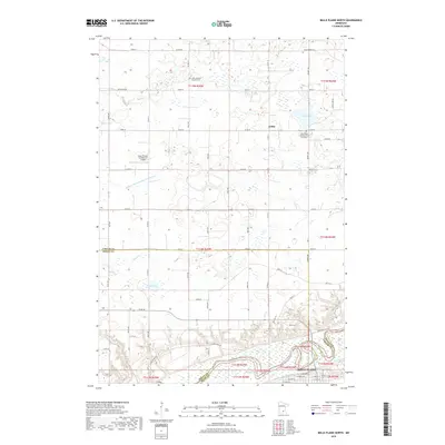
 - 2016 Map of Belle Plaine North, 2016 Print
 2016 Belle Plaine North2016 Print · USGSCovers Hancock Township, including Belle Plaine, Benton Township, and other nearby areas
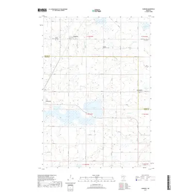
 - 2016 Map of Hamburg, 2016 Print
 2016 Hamburg2016 Print · USGSCovers Hancock Township, including Hamburg, Green Isle, and other nearby areas
 - 2019 Map of Hamburg, 2019 Print
 2019 Hamburg2019 Print · USGSCovers Hancock Township, including Hamburg, Green Isle, and other nearby areas
 - 2019 Map of Belle Plaine North, 2019 Print
 2019 Belle Plaine North2019 Print · USGSCovers Hancock Township, including Belle Plaine, Benton Township, and other nearby areas
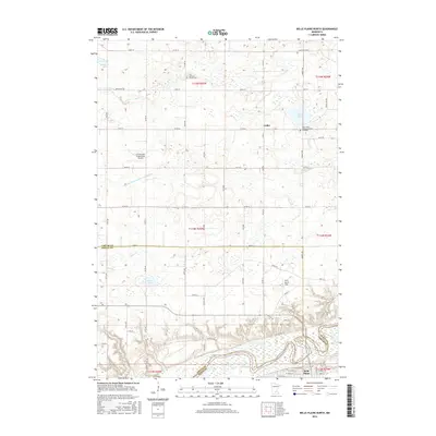
 - 2022 Map of Belle Plaine North, 2022 Print
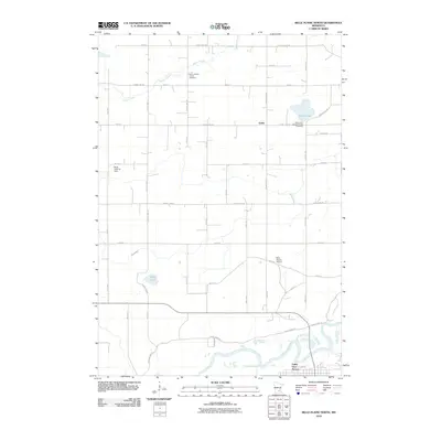
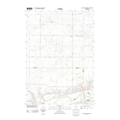
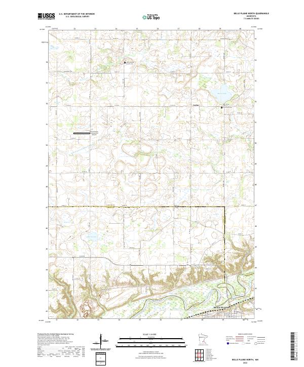 2022 Belle Plaine North2022 Print · USGSThe Minnesota River valley at Belle Plaine is captured here in the early twenty-first century as it spans the borders of Carver, Sibley, and Scott counties. Researchers can locate family sites near West Union Lutheran Church and Cem or trace the drainage of Judicial Ditch Number Twentytwo.
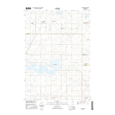
 - 2022 Map of Hamburg, 2022 Print
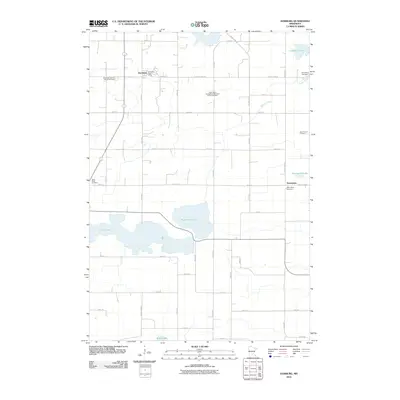
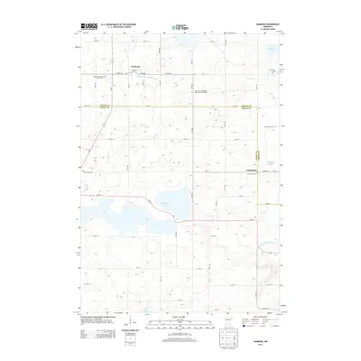
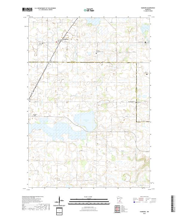 2022 Hamburg2022 Print · USGSThe rural Minnesota landscape around Carver County is captured here in the early 2020s, showing a region defined by its agricultural heritage and glacial lakes. Family researchers and local historians can trace the roads and drainage ditches between Hamburg and Assumption, while scouting Washington Lake and Bevens Cr.
End of results
Showing maps 1-10 of 10
Top cities near Hancock Township
- Chaska historical maps
- Chanhassen historical maps
- Mound historical maps
- Waconia historical maps
- Orono historical maps
- New Prague historical maps
See more
Frequently asked questions
- What are the different types of historical maps available for Hancock Township?
- What is the oldest map of Hancock Township?
- Where can I purchase historical maps of Hancock Township for my home or office?
- Where can I download high-res historical maps of Hancock Township?
- Are there historical topographic maps available for Hancock Township?
- Is there historical aerial imagery available for Hancock Township?
- Where are historical maps of Hancock Township sourced from?