Old Maps of Waconia Township, Minnesota for Academic Research
Study the evolution of Waconia Township with 28 high-resolution historic maps. Whether you're teaching, researching, or modeling changes in land use, these maps provide essential visual documentation of urban, environmental, and geographic change.
- Analyze long-term change: Track patterns in development, transportation, and natural features.
- Ideal for environmental or urban studies: Support academic projects with primary historical map data.
- Use in the classroom or lab: Educators and researchers rely on these maps to bring historical context to life.
These maps are a powerful tool for teaching, research, and visualizing how Waconia Township has changed over the decades.
Waconia Township, MN maps
(28)- 1953 Map of Saint Paul, 1964 Print
 1953 Saint Paul1964 Print · USGSThe Twin Cities and the Mississippi River valley are captured here at a mid-century turning point. Trace the early growth of Minneapolis and Saint Paul alongside landmarks like Lake Minnetonka and the St Croix River.4 unique versions available
 - 1957 Map of Waconia, 1959 Print
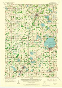 1957 Waconia1959 Print · USGSCarver County and parts of Wright County are captured in the late fifties, showing a rural landscape in transition. Genealogists can trace family roots through numerous small schools and cemeteries, including St Mark Cem, Oakland Cem, and the Hydes Lake Sch.2 unique versions available
 - 1959 Map of Saint Paul
 1959 Saint Paul1959 Print · USGSThe Twin Cities and southeastern Minnesota appear here in the late fifties, showing the peak of the rail era and post-war suburban growth. Genealogists can trace family footprints near Lake Minnetonka, the Univ Of Minn Rosemount Research Center, or the growing neighborhoods of Richfield.2 unique versions available
 - 1981 Map of Mayer
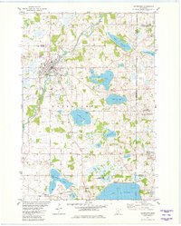
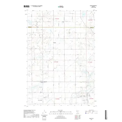
 1981 Mayer1981 Print · USGSCarver and Wright counties are shown here in the early eighties as a landscape of established rail corridors and river-bound townships. Genealogists and local historians can locate St Mark Cem, trace the Burlington Northern line, and find the Ziermann Landing Strip near Mayer.
 - 1981 Map of Norwood, 1982 Print
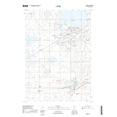
 1981 Norwood1982 Print · USGSThe neighboring towns of Young America and Norwood are captured in the early eighties as separate centers tied by rail. Genealogists and historians can trace local family landmarks through Forest Hills Cem, Tiger Lake, and the crossing of two major railroads.
 - 1981 Map of Watertown, 1982 Print
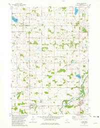
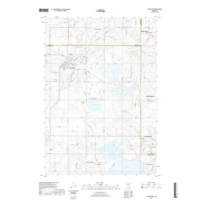
 1981 Watertown1982 Print · USGSCarver County and its neighboring townships are captured here in the early eighties, showcasing a region defined by its numerous lakes and the South Fork Crow River. Researchers can locate historic sites like Trinity Cem, St Peters Ch, and the winding Luce Line Trail.2 unique versions available
 - 1981 Map of Waconia, 1982 Print
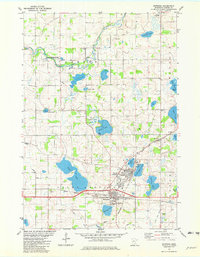
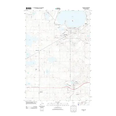
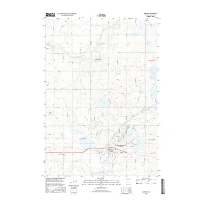
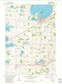 1981 Waconia1982 Print · USGSCarver County during the early eighties shows a landscape of glacial lakes and growing lakeside communities. Genealogists can locate family sites near St Josephs Cem, Scandia Cem, or rural schools like School No 104 while tracing the dual rail lines.2 unique versions available
 - 1985 Map of Saint Paul
 1985 Saint Paul1985 Print · USGSThe Twin Cities metropolitan area and its southern suburbs are captured here in the mid-eighties as the urban landscape expanded toward the Minnesota River. Researchers can trace the layout of the Fort Snelling Military Reservation, find local landmarks like St Benedict Church, and study the rail routes of the Soo Line.2 unique versions available
 - 2010 Map of Waconia, 2010 Print
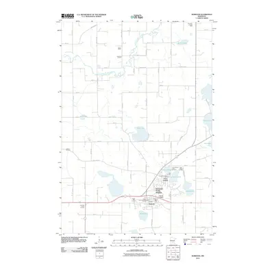
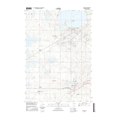
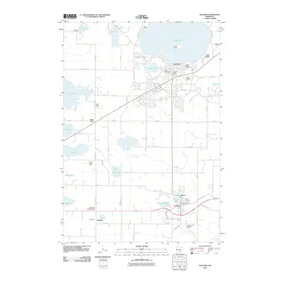 2010 Waconia2010 Print · USGSCovers Waconia Township, including Waconia, Cologne, and other nearby areas
 - 2010 Map of Watertown, 2010 Print
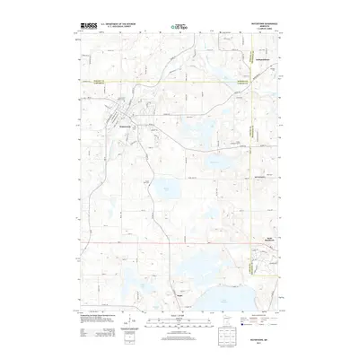
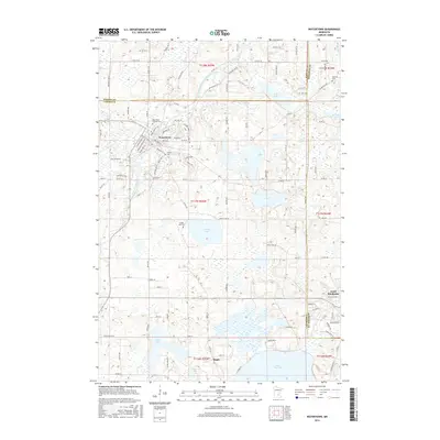
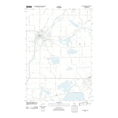 2010 Watertown2010 Print · USGSCovers Waconia Township, including Minnetrista, Watertown, and other nearby areas
 - 2010 Map of Mayer, 2010 Print
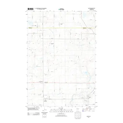
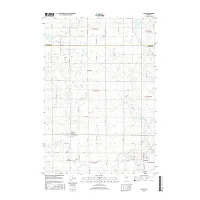
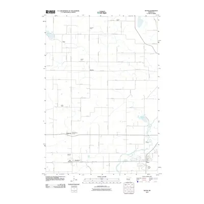 2010 Mayer2010 Print · USGSCovers Waconia Township, including Mayer, Hollywood, and other nearby areas
 - 2010 Map of Norwood, 2010 Print
 2010 Norwood2010 Print · USGSCovers Waconia Township, including Norwood Young America, Young America, and other nearby areas
 - 2013 Map of Watertown, 2013 Print
 2013 Watertown2013 Print · USGSCovers Waconia Township, including Minnetrista, Watertown, and other nearby areas
 - 2013 Map of Waconia, 2013 Print
 2013 Waconia2013 Print · USGSCovers Waconia Township, including Waconia, Cologne, and other nearby areas
 - 2013 Map of Norwood, 2013 Print
 2013 Norwood2013 Print · USGSCovers Waconia Township, including Norwood Young America, Young America, and other nearby areas
 - 2013 Map of Mayer, 2013 Print
 2013 Mayer2013 Print · USGSCovers Waconia Township, including Mayer, Hollywood, and other nearby areas
 - 2016 Map of Watertown, 2016 Print
 2016 Watertown2016 Print · USGSCovers Waconia Township, including Minnetrista, Watertown, and other nearby areas
 - 2016 Map of Mayer, 2016 Print
 2016 Mayer2016 Print · USGSCovers Waconia Township, including Mayer, Hollywood, and other nearby areas
 - 2016 Map of Waconia, 2016 Print
 2016 Waconia2016 Print · USGSCovers Waconia Township, including Waconia, Cologne, and other nearby areas
 - 2016 Map of Norwood, 2016 Print
 2016 Norwood2016 Print · USGSCovers Waconia Township, including Norwood Young America, Young America, and other nearby areas
 - 2019 Map of Watertown, 2019 Print
 2019 Watertown2019 Print · USGSCovers Waconia Township, including Minnetrista, Watertown, and other nearby areas
 - 2019 Map of Mayer, 2019 Print
 2019 Mayer2019 Print · USGSCovers Waconia Township, including Mayer, Hollywood, and other nearby areas
 - 2019 Map of Waconia, 2019 Print
 2019 Waconia2019 Print · USGSCovers Waconia Township, including Waconia, Cologne, and other nearby areas
 - 2019 Map of Norwood, 2019 Print
 2019 Norwood2019 Print · USGSCovers Waconia Township, including Norwood Young America, Young America, and other nearby areas
 - 2022 Map of Watertown, 2022 Print
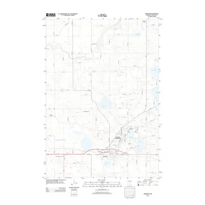
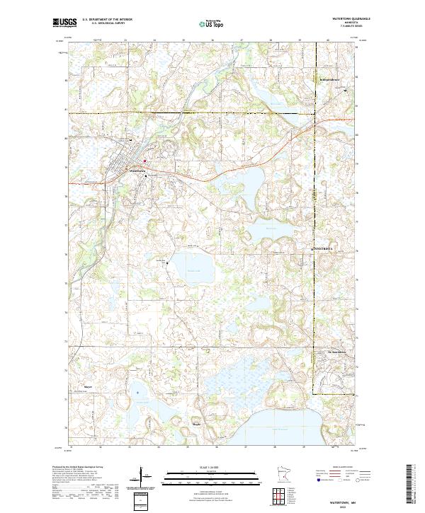 2022 Watertown2022 Print · USGSWestern Carver County and its surrounding borders are shown in this modern survey. Genealogists can locate Saint Paul's Catholic Cem, Oakland Cem, and Swede Lake Cem near the banks of the South Fork Crow River.
Showing maps 1-25 of 28
Top cities near Waconia Township
- Chaska historical maps
- Chanhassen historical maps
- Mound historical maps
- Waconia historical maps
- Orono historical maps
- Victoria historical maps
See more
Top neighborhoods of Waconia Township
Frequently asked questions
- What are the different types of historical maps available for Waconia Township?
- What is the oldest map of Waconia Township?
- Where can I purchase historical maps of Waconia Township for my home or office?
- Where can I download high-res historical maps of Waconia Township?
- Are there historical topographic maps available for Waconia Township?
- Is there historical aerial imagery available for Waconia Township?
- Where are historical maps of Waconia Township sourced from?