Old Maps of Chisago Lake Township, Minnesota
Explore 31 old maps of Chisago Lake Township, spanning from 1953 to today. These high-resolution historic maps reveal how streets, neighborhoods, landmarks, and natural features evolved over time — perfect for genealogy, metal detecting, research, and local history exploration.
What you can do with these maps:
- See how Chisago Lake Township changed over time: Compare historical maps to modern-day views to trace roads, homesites, rail lines & more.
- View detailed metadata: Each map includes creators, publishers, year, scale, and archive source.
- Overlay maps with satellite & LiDAR: Visualize the past alongside modern tools to explore terrain & human change.
- Trusted historical sources: Maps sourced from the USGS, Library of Congress, and other archives.
- Access maps your way: View online, download high-res files, or order prints for personal or research use.
Start exploring old maps of Chisago Lake Township to uncover forgotten places, hidden landmarks, and the deep history beneath your feet.
Chisago Lake Township, MN maps
(31)- 1953 Map of Stillwater, 1980 Print
 1953 Stillwater1980 Print · USGSThe Twin Cities and the St. Croix Valley are captured in this mid-century survey as the interstate era began to transform the Upper Midwest. Genealogists and historians can trace the rail-and-river geography of Stillwater, locate landmarks in Anoka, or explore the sprawling St Croix State Park.
 - 1955 Map of Forest Lake, 1957 Print
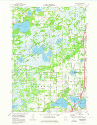
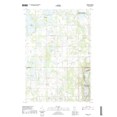
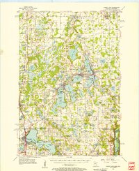 1955 Forest Lake1957 Print · USGSChisago County's lake country is captured in the mid-fifties, showing the rail-linked towns of Lindstrom and Center City. Genealogists can find the Goose Lake School, Glader Cemetery, and the abandoned Meadow View School.3 unique versions available
 - 1955 Map of Stillwater, 1965 Print
 1955 Stillwater1965 Print · USGSThe Upper St. Croix Valley and the growing Twin Cities area are shown here during the mid-fifties, before the interstate era transformed the regional commute. You can trace the lines of the Northern Pacific RR through towns like Rush City or locate the Saint Croix Indian Reservation.
 - 1958 Map of Stillwater
 1958 Stillwater1958 Print · USGSThe Upper Mississippi and St. Croix River valleys appear in the mid-fifties as the Twin Cities expanded north. Genealogists can locate family landmarks like Oak Park Cem, Saint Michael Church, and the Soo Line RR rail corridors.2 unique versions available
 - 1965 Map of Stillwater
 1965 Stillwater1965 Print · USGSThe Twin Cities and the St. Croix Valley are mapped here during a period of significant post-war growth and industrial transit. Genealogists and historians can trace rail lines like the Northern Pacific RR through towns such as Rush City, Amery, and Balsam Lake.
 - 1974 Map of Stacy, 1976 Print
 1974 Stacy1976 Print · USGSChisago County in the mid-1970s shows a landscape of conservation and rail-side settlements as the northern suburbs of the Twin Cities began to expand. Genealogists and local historians can trace the foundations of Stacy and Sunrise, locate the Stacy Cem, and follow the Burlington Northern rail line.
 - 1974 Map of Scandia, 1976 Print
 1974 Scandia1976 Print · USGSThe lakeside community of Scandia and the St. Croix River valley are captured in the mid-1970s before modern development. Researchers can trace family sites near Elim Cem, St Francis Xavier Ch, and the banks of Bone Lake.3 unique versions available
 - 1974 Map of Forest Lake, 1976 Print
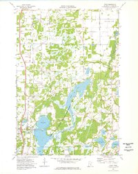
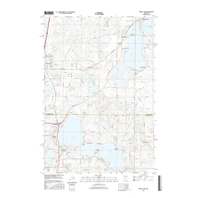
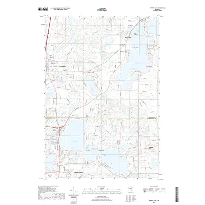
 1974 Forest Lake1976 Print · USGSThe interconnected waters of the Chisago Lakes area are captured in the mid-seventies, showing the growth of Forest Lake and Chisago City. Local researchers can locate family landmarks like the Scandinavian Cemetery, St Pauls Church, and the old Drive-in Theater.2 unique versions available
 - 1974 Map of Lindstrom, 1976 Print
 1974 Lindstrom1976 Print · USGSIn the mid-1970s, this lake-heavy region north of the Twin Cities shows a landscape of wetlands and small-town growth. Genealogists and local historians can trace family locations near Victor Hill Cem, the Linwood Sch, or along the Old Railroad Grade.2 unique versions available
 - 1975 Map of Stillwater
 1975 Stillwater1975 Print · USGSThe Twin Cities and the St. Croix Valley are captured in the mid-seventies, showing the urban growth of Minneapolis and St Paul. Researchers can trace old rail corridors of the Northern Pacific RR and locate tribal lands at the Mille Lacs Indian Reservation.2 unique versions available
 - 1985 Map of Stillwater
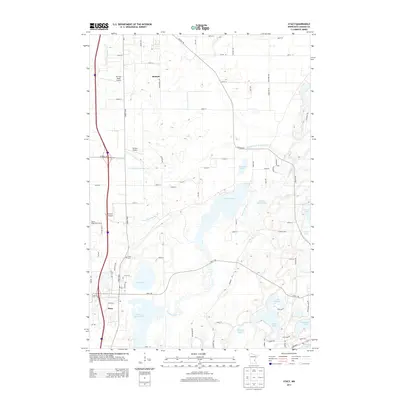
 1985 Stillwater1985 Print · USGSThe St. Croix River valley in the mid-1980s reveals a borderland of river towns and conservation areas. Trace the rail lines of the Soo Line, locate the Minnesota State Prison, and explore the numerous wildlife areas like Cylon Marsh.2 unique versions available
 - 2010 Map of Stacy, 2010 Print
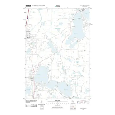
 2010 Stacy2010 Print · USGSCovers Chisago Lake Township, including North Branch, Chisago City, and other nearby areas
 - 2010 Map of Lindstrom, 2010 Print
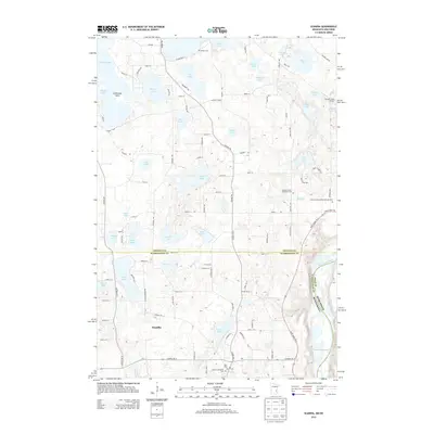
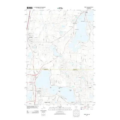
 2010 Lindstrom2010 Print · USGSCovers Chisago Lake Township, including Chisago City, Lindström, and other nearby areas
 - 2010 Map of Scandia, 2010 Print
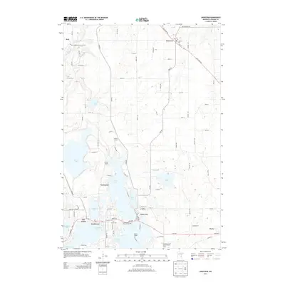
 2010 Scandia2010 Print · USGSCovers Chisago Lake Township, including Chisago City, Lindström, and other nearby areas
 - 2010 Map of Forest Lake, 2010 Print
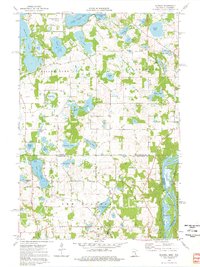
 2010 Forest Lake2010 Print · USGSCovers Chisago Lake Township, including Chisago City, Wyoming, and other nearby areas
 - 2013 Map of Scandia, 2013 Print
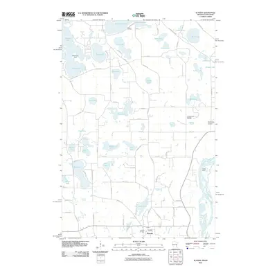
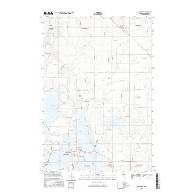
 2013 Scandia2013 Print · USGSCovers Chisago Lake Township, including Chisago City, Lindström, and other nearby areas
 - 2013 Map of Lindstrom, 2013 Print
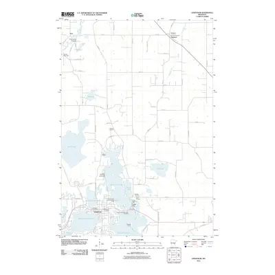
 2013 Lindstrom2013 Print · USGSCovers Chisago Lake Township, including Chisago City, Lindström, and other nearby areas
 - 2013 Map of Stacy, 2013 Print
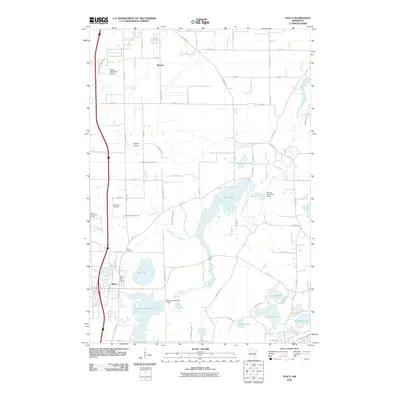
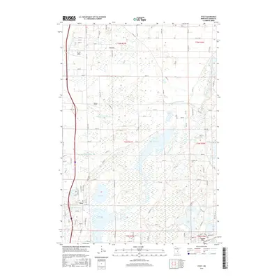
 2013 Stacy2013 Print · USGSCovers Chisago Lake Township, including North Branch, Chisago City, and other nearby areas
 - 2013 Map of Forest Lake, 2013 Print
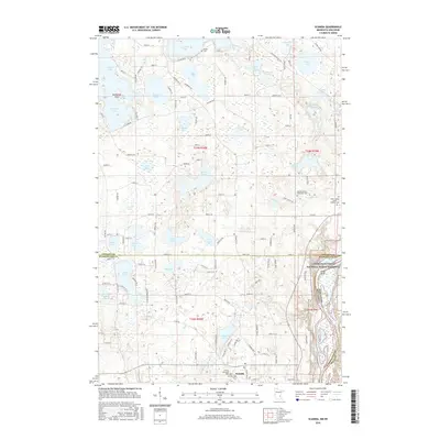
 2013 Forest Lake2013 Print · USGSCovers Chisago Lake Township, including Chisago City, Wyoming, and other nearby areas
 - 2016 Map of Lindstrom, 2016 Print
 2016 Lindstrom2016 Print · USGSCovers Chisago Lake Township, including Chisago City, Lindström, and other nearby areas
 - 2016 Map of Stacy, 2016 Print
 2016 Stacy2016 Print · USGSCovers Chisago Lake Township, including North Branch, Chisago City, and other nearby areas
 - 2016 Map of Scandia, 2016 Print
 2016 Scandia2016 Print · USGSCovers Chisago Lake Township, including Chisago City, Lindström, and other nearby areas
 - 2016 Map of Forest Lake, 2016 Print
 2016 Forest Lake2016 Print · USGSCovers Chisago Lake Township, including Chisago City, Wyoming, and other nearby areas
 - 2019 Map of Forest Lake, 2019 Print
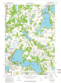
 2019 Forest Lake2019 Print · USGSCovers Chisago Lake Township, including Chisago City, Wyoming, and other nearby areas
 - 2019 Map of Scandia, 2019 Print
 2019 Scandia2019 Print · USGSCovers Chisago Lake Township, including Chisago City, Lindström, and other nearby areas
Showing maps 1-25 of 31
Top cities near Chisago Lake Township
- Lino Lakes historical maps
- Hugo historical maps
- North Branch historical maps
- Chisago City historical maps
- Columbus historical maps
- Lindström historical maps
See more
Frequently asked questions
- What are the different types of historical maps available for Chisago Lake Township?
- What is the oldest map of Chisago Lake Township?
- Where can I purchase historical maps of Chisago Lake Township for my home or office?
- Where can I download high-res historical maps of Chisago Lake Township?
- Are there historical topographic maps available for Chisago Lake Township?
- Is there historical aerial imagery available for Chisago Lake Township?
- Where are historical maps of Chisago Lake Township sourced from?