Old Maps of Nessel Township, Minnesota for Metal Detecting
Plan your next treasure hunt with 29 historic maps of Nessel Township. Find old homesites, ghost towns, trails, and gathering spots that may be lost to time — perfect for identifying promising metal detecting locations.
- Locate forgotten sites: Uncover places like long-lost settlements, abandoned rail lines, or gathering spots.
- Plan better hunts: Use map overlays combined with LiDAR or satellite views to narrow in on historically rich areas.
- Made for detectorists: Thousands of hobbyists use these maps to discover relics, coins, and hidden history.
Use these historic maps to boost your research and find new opportunities beneath the surface of Nessel Township.
Nessel Township, MN maps
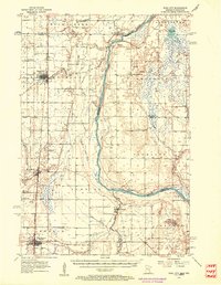
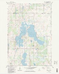
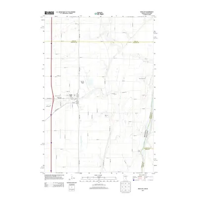
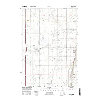
(29)- 1950 Map of Rush City
 1950 Rush City1950 Print · USGSThe St. Croix River valley in the late 1940s reveals a quiet borderland where timber and rail infrastructure meet rural crossroads. Genealogists and historians can trace the foundations of local life at Indian Cem, the Rush City Ferry, and the Logging RR.
 - 1953 Map of Stillwater, 1980 Print
 1953 Stillwater1980 Print · USGSThe Twin Cities and the St. Croix Valley are captured in this mid-century survey as the interstate era began to transform the Upper Midwest. Genealogists and historians can trace the rail-and-river geography of Stillwater, locate landmarks in Anoka, or explore the sprawling St Croix State Park.
 - 1955 Map of Rush City, 1957 Print
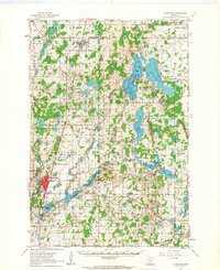
 1955 Rush City1957 Print · USGSThe St. Croix River valley in the mid-1950s reveals a landscape of railroad towns and riverside settlements. Genealogists can trace family landmarks like the Swedish Cem, Pleasant Prairie Ch, and the Indian Cem.5 unique versions available
 - 1955 Map of Stillwater, 1965 Print
 1955 Stillwater1965 Print · USGSThe Upper St. Croix Valley and the growing Twin Cities area are shown here during the mid-fifties, before the interstate era transformed the regional commute. You can trace the lines of the Northern Pacific RR through towns like Rush City or locate the Saint Croix Indian Reservation.
 - 1958 Map of Stillwater
 1958 Stillwater1958 Print · USGSThe Upper Mississippi and St. Croix River valleys appear in the mid-fifties as the Twin Cities expanded north. Genealogists can locate family landmarks like Oak Park Cem, Saint Michael Church, and the Soo Line RR rail corridors.2 unique versions available
 - 1961 Map of Cambridge, 1963 Print
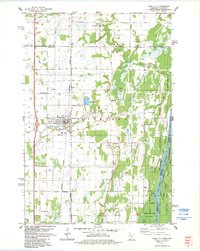
 1961 Cambridge1963 Print · USGSThe lake country of Isanti and Chisago Counties is shown here in the early sixties as it balanced agricultural roots with new institutional growth. Researchers can trace the Great Northern rail line connecting Braham and Cambridge, or locate vanished landmarks like Minnesota Boys Town and the Oak Leaf Grange Hall.
 - 1965 Map of Stillwater
 1965 Stillwater1965 Print · USGSThe Twin Cities and the St. Croix Valley are mapped here during a period of significant post-war growth and industrial transit. Genealogists and historians can trace rail lines like the Northern Pacific RR through towns such as Rush City, Amery, and Balsam Lake.
 - 1975 Map of Stillwater
 1975 Stillwater1975 Print · USGSThe Twin Cities and the St. Croix Valley are captured in the mid-seventies, showing the urban growth of Minneapolis and St Paul. Researchers can trace old rail corridors of the Northern Pacific RR and locate tribal lands at the Mille Lacs Indian Reservation.2 unique versions available
 - 1983 Map of Rush City, 1984 Print
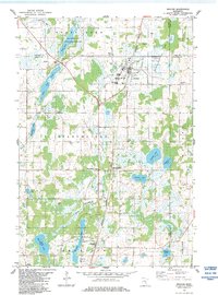
 1983 Rush City1984 Print · USGSThe St. Croix River valley in the early 1980s shows a mix of established rail towns and protected state forests. Genealogists can locate family names at Taylor Cem and Sacred Heart Cem, or trace the path of the Old Military Road.
 - 1983 Map of Braham, 1984 Print
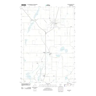
 1983 Braham1984 Print · USGSBraham and the surrounding Isanti County wetlands are captured here in the early eighties as the rail-linked settlements of the Rum River valley continued to thrive. Researchers can find old community sites like Stanchfield Corner, family-named cemeteries such as Danewood Cem, and the Burlington Northern rail line.
 - 1983 Map of Rush Lake, 1984 Print
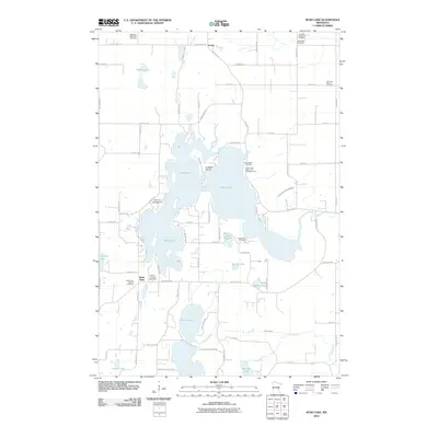
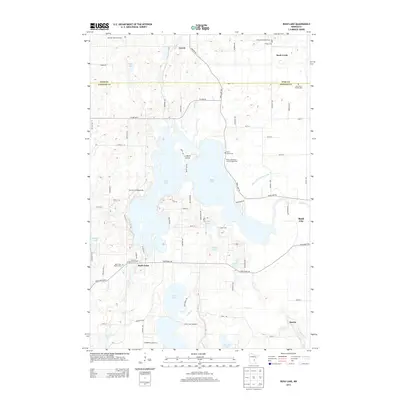
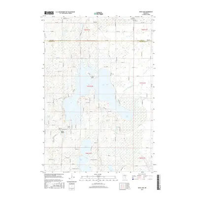
 1983 Rush Lake1984 Print · USGSChisago County's lake country is captured here in the early eighties, showing a landscape defined by water and rural settlement. Genealogists can trace family footprints at Rush Point, Harris, or several local landmarks like Rush Lake Ch and St Johns Cem.2 unique versions available
 - 1985 Map of Grantsburg
 1985 Grantsburg1985 Print · USGSThe river borderlands of Minnesota and Wisconsin come alive in the mid-1980s, showcasing the intricate water networks and forest preserves of Burnett and Pine counties. Trace the rail lines of the Soo Line or find rural landmarks like Trade Lake Ch and Hildas Corner.2 unique versions available
 - 1985 Map of Mora
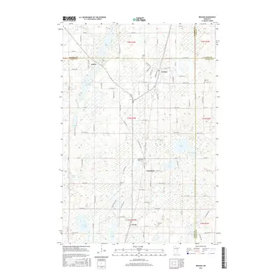
 1985 Mora1985 Print · USGSCentral Minnesota's river valleys and farming hubs are captured here in the mid-eighties, showing the region before significant modern expansion. Researchers can trace historic rail lines like the Burlington Northern and locate community landmarks in Mora, Milaca, and Princeton.
 - 1991 Map of Mora
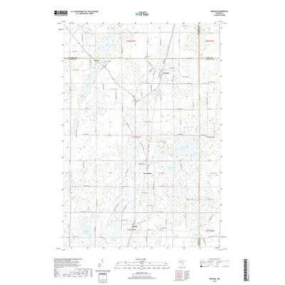
 1991 Mora1991 Print · USGSThe Rum River valley and central Minnesota lakelands are shown in great detail in the early 1990s. Genealogists and local historians can trace rural school locations, family cemeteries, and local landmarks like St. Marys Ch or the Municipal Airport in Mora.
 - 2010 Map of Rush City, 2010 Print
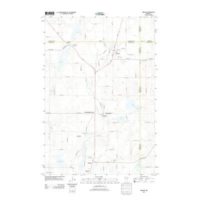
 2010 Rush City2010 Print · USGSCovers Nessel Township, including Rush City, Rock Creek, and other nearby areas
 - 2010 Map of Braham, 2010 Print
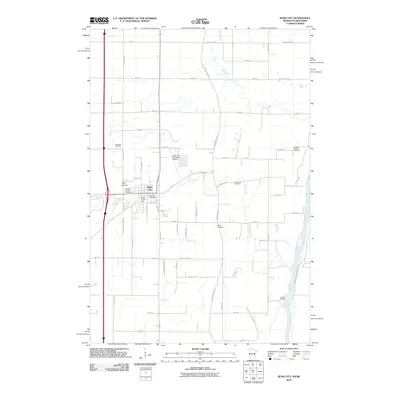
 2010 Braham2010 Print · USGSCovers Nessel Township, including Braham, Stanchfield, and other nearby areas
 - 2010 Map of Rush Lake, 2010 Print
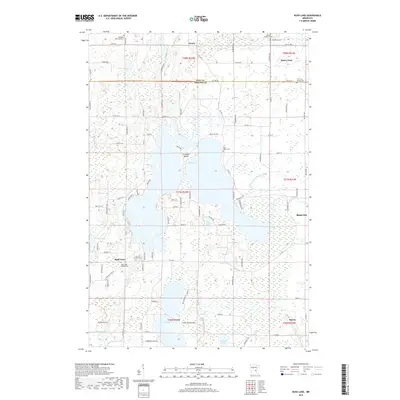
 2010 Rush Lake2010 Print · USGSCovers Nessel Township, including Rush City, Rock Creek, and other nearby areas
 - 2013 Map of Rush City, 2013 Print
 2013 Rush City2013 Print · USGSCovers Nessel Township, including Rush City, Rock Creek, and other nearby areas
 - 2013 Map of Braham, 2013 Print
 2013 Braham2013 Print · USGSCovers Nessel Township, including Braham, Stanchfield, and other nearby areas
 - 2013 Map of Rush Lake, 2013 Print
 2013 Rush Lake2013 Print · USGSCovers Nessel Township, including Rush City, Rock Creek, and other nearby areas
 - 2016 Map of Rush City, 2016 Print
 2016 Rush City2016 Print · USGSCovers Nessel Township, including Rush City, Rock Creek, and other nearby areas
 - 2016 Map of Rush Lake, 2016 Print
 2016 Rush Lake2016 Print · USGSCovers Nessel Township, including Rush City, Rock Creek, and other nearby areas
 - 2016 Map of Braham, 2016 Print
 2016 Braham2016 Print · USGSCovers Nessel Township, including Braham, Stanchfield, and other nearby areas
 - 2019 Map of Braham, 2019 Print
 2019 Braham2019 Print · USGSCovers Nessel Township, including Braham, Stanchfield, and other nearby areas
 - 2019 Map of Rush Lake, 2019 Print
 2019 Rush Lake2019 Print · USGSCovers Nessel Township, including Rush City, Rock Creek, and other nearby areas
Showing maps 1-25 of 29
Top cities near Nessel Township
- North Branch historical maps
- Cambridge historical maps
- Isanti historical maps
- Mora historical maps
- Pine City historical maps
- Rush City historical maps
See more
Top neighborhoods of Nessel Township
Frequently asked questions
- What are the different types of historical maps available for Nessel Township?
- What is the oldest map of Nessel Township?
- Where can I purchase historical maps of Nessel Township for my home or office?
- Where can I download high-res historical maps of Nessel Township?
- Are there historical topographic maps available for Nessel Township?
- Is there historical aerial imagery available for Nessel Township?
- Where are historical maps of Nessel Township sourced from?