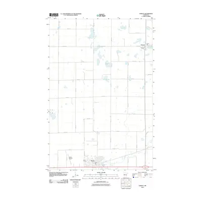
Old Maps of Hawley, Minnesota for Metal Detecting
Plan your next treasure hunt with 17 historic maps of Hawley. Find old homesites, ghost towns, trails, and gathering spots that may be lost to time — perfect for identifying promising metal detecting locations.
- Locate forgotten sites: Uncover places like long-lost settlements, abandoned rail lines, or gathering spots.
- Plan better hunts: Use map overlays combined with LiDAR or satellite views to narrow in on historically rich areas.
- Made for detectorists: Thousands of hobbyists use these maps to discover relics, coins, and hidden history.
Use these historic maps to boost your research and find new opportunities beneath the surface of Hawley.
Hawley, MN maps
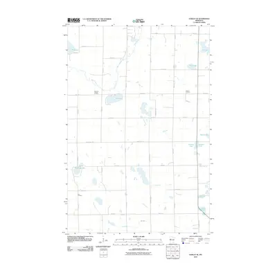
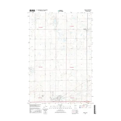
(17)- 1919 Map of Hawley, 1943 Print
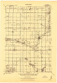 1919 Hawley1943 Print · USGSWestern Minnesota prairie life is captured here in the years following the Great War, as rail-side elevators drove the local economy. Trace the paths of the Northern Pacific Ry. and find local landmarks like the Hitterdal Elevator or the village of Muskoda.
 - 1953 Map of Fargo, 1965 Print
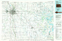
 1953 Fargo1965 Print · USGSThe Red River Valley in the mid-fifties was a bustling rail and agricultural corridor during a period of steady prairie growth. Genealogists and historians can trace the intricate rail networks of the Great Northern and Soo Line connecting local hubs like Casselton and Wahpeton.2 unique versions available
 - 1956 Map of Fargo
 1956 Fargo1956 Print · USGSThe Red River Valley's agricultural heartland is documented here in the mid-fifties as the rail-and-road network expanded across the plains. Genealogists can trace family roots through numerous small railroad towns and local landmarks like Casselton, Sheyenne Valley Church, and Sisseton Indian Res.
 - 1966 Map of Hawley SE, 1967 Print
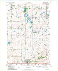
 1966 Hawley SE1967 Print · USGSClay County's lake-strewn prairie is captured here in the 1960s, showing a landscape of scattered family farms and vast wildlife preserves. Genealogists can locate the Silver Lake Pioneer Cem, Zion Cem, and the historic Northern Pacific rail line.
 - 1966 Map of Hawley, 1967 Print
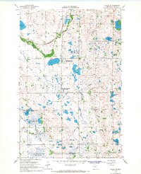
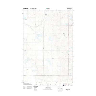
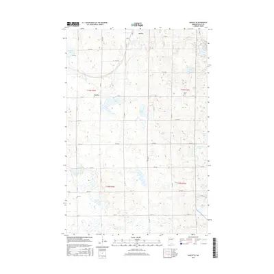
 1966 Hawley1967 Print · USGSClay County at the height of the 1960s shows a landscape of prairie townships and rail-oriented commerce. Local researchers can trace family landmarks like Cem Lysne Ch and the Northern Pacific line running through Hitterdal and Hawley.
 - 1985 Map of Fargo
 1985 Fargo1985 Print · USGSThe Red River Valley and the Minnesota lake country meet in this mid-1980s survey of the Fargo-Moorhead border region. Genealogists and researchers can trace the Burlington Northern rail corridors and find rural communities like Pelican Rapids, Sabin, and Dilworth.2 unique versions available
 - 1989 Map of Fargo, 1990 Print
 1989 Fargo1990 Print · USGSThe Red River Valley at the end of the eighties shows a landscape of flourishing university towns and vital rail corridors. Researchers can trace family roots through Riverside Cem, find early campus layouts for North Dakota State University, or follow the Soo Line Railroad through West Fargo.
 - 2010 Map of Hawley SE, 2010 Print
 2010 Hawley SE2010 Print · USGSCovers Hawley, including Clay County, United States, and other nearby areas
 - 2010 Map of Hawley, 2010 Print
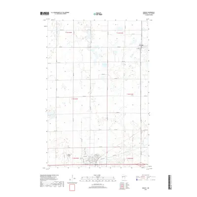
 2010 Hawley2010 Print · USGSCovers Hawley, including Hitterdal, Nada, and other nearby areas
 - 2013 Map of Hawley SE, 2013 Print
 2013 Hawley SE2013 Print · USGSCovers Hawley, including Clay County, United States, and other nearby areas
 - 2013 Map of Hawley, 2013 Print
 2013 Hawley2013 Print · USGSCovers Hawley, including Hitterdal, Nada, and other nearby areas
 - 2016 Map of Hawley, 2016 Print
 2016 Hawley2016 Print · USGSCovers Hawley, including Hitterdal, Nada, and other nearby areas
 - 2016 Map of Hawley SE, 2016 Print
 2016 Hawley SE2016 Print · USGSCovers Hawley, including Clay County, United States, and other nearby areas
 - 2019 Map of Hawley SE, 2019 Print
 2019 Hawley SE2019 Print · USGSCovers Hawley, including Clay County, United States, and other nearby areas
 - 2019 Map of Hawley, 2019 Print
 2019 Hawley2019 Print · USGSCovers Hawley, including Hitterdal, Nada, and other nearby areas
 - 2022 Map of Hawley, 2022 Print
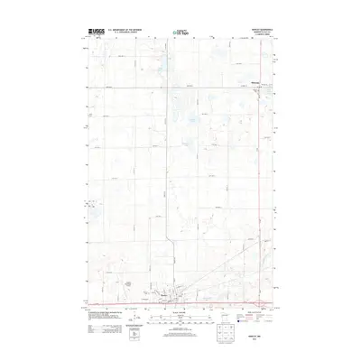
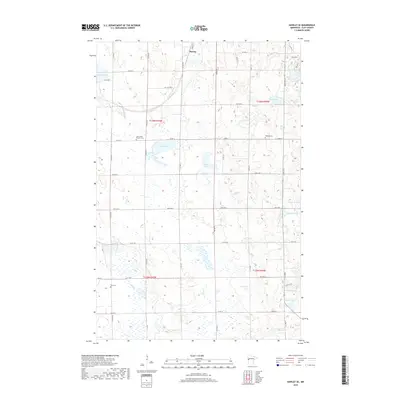
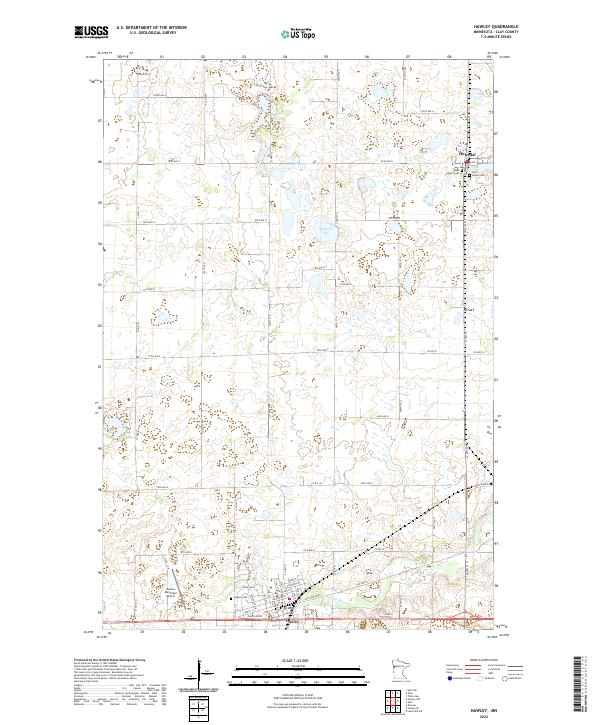 2022 Hawley2022 Print · USGSClay County at the dawn of the 2020s remains a landscape defined by its agricultural roots and river-cut plains. Researchers can trace family history at West Salem Cem or East Salem Cem and study the development of Hawley and Hitterdal.
 - 2022 Map of Hawley SE, 2022 Print
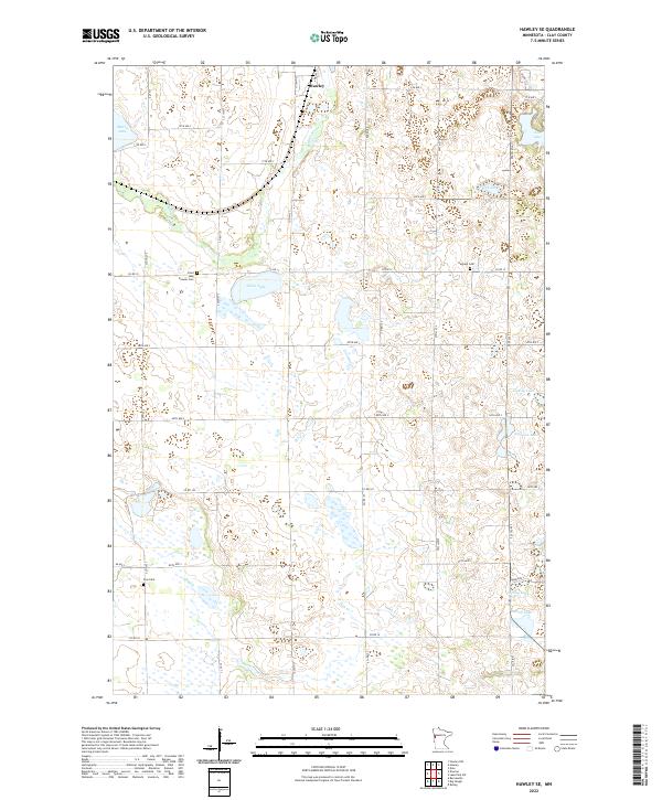 2022 Hawley SE2022 Print · USGSClay County's glacial landscape is captured here in the early twenty-first century, showing the rural terrain south of the Buffalo River. Researchers can trace local heritage at Pioneer Cem and Hegland Cem or locate family landmarks near Silver Lake and Hay Cr.
End of results
Showing maps 1-17 of 17
Top cities near Hawley
- Barnesville historical maps
- Lake Park historical maps
- Ulen historical maps
- Tansem historical maps
- Felton historical maps
- Hitterdal historical maps
Frequently asked questions
- What are the different types of historical maps available for Hawley?
- What is the oldest map of Hawley?
- Where can I purchase historical maps of Hawley for my home or office?
- Where can I download high-res historical maps of Hawley?
- Are there historical topographic maps available for Hawley?
- Is there historical aerial imagery available for Hawley?
- Where are historical maps of Hawley sourced from?