Old Maps of Bush Landing, Minnesota for Metal Detecting
Plan your next treasure hunt with 10 historic maps of Bush Landing. Find old homesites, ghost towns, trails, and gathering spots that may be lost to time — perfect for identifying promising metal detecting locations.
- Locate forgotten sites: Uncover places like long-lost settlements, abandoned rail lines, or gathering spots.
- Plan better hunts: Use map overlays combined with LiDAR or satellite views to narrow in on historically rich areas.
- Made for detectorists: Thousands of hobbyists use these maps to discover relics, coins, and hidden history.
Use these historic maps to boost your research and find new opportunities beneath the surface of Bush Landing.
Bush Landing, MN maps
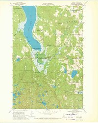
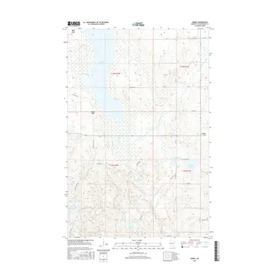
(10)- 1954 Map of Bemidji, 1966 Print
 1954 Bemidji1966 Print · USGSNorthern Minnesota's lake country and timberlands are captured here at a mid-century peak of rail and road expansion. Genealogists and historians can trace family roots through numerous small settlements like Mahnomen, Clearbrook, and Walker, while locating local landmarks such as White Earth Church.4 unique versions available
 - 1957 Map of Bemidji
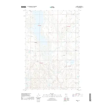
 1957 Bemidji1957 Print · USGSNorthern Minnesota in the mid-fifties is defined by its massive lake systems and the sprawling timberlands of the Chippewa National Forest. Genealogists and researchers can trace old rail lines like the Great Northern RR and locate settlements such as Moberg, Naytahwaush, and Lake Itasca.
 - 1958 Map of Bemidji
 1958 Bemidji1958 Print · USGSNorthern Minnesota in the late fifties is a vast landscape of tribal lands and timber forests tied together by rail. Genealogists and researchers can trace old rail stops and lakeside communities from Walker to Fosston, or explore the source of the Mississippi at Lake Itasca.
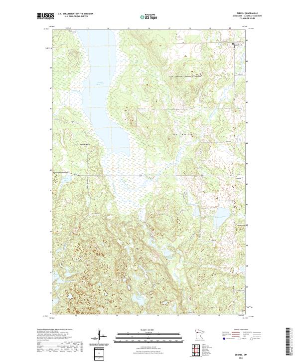
 - 1969 Map of Zerkel, 1972 Print
 1969 Zerkel1972 Print · USGSClearwater County's lake country is documented here in the late sixties, showing the interplay between the White Earth State Forest and the regional water network. Researchers can trace historic access points like Ponsford Landing, the isolated Sugarbush Lookout Tower, and the early footprints of Minerva and Zerkel.2 unique versions available
 - 1985 Map of Lake Itasca
 1985 Lake Itasca1985 Print · USGSNorthwestern Minnesota’s forest and lake country is captured here in the mid-1980s, centered on the White Earth Indian Reservation. Researchers can trace the Burlington Northern line and locate local landmarks like Elbow Lake Village, Naytahwaush, and Itasca State Park.2 unique versions available
 - 2011 Map of Zerkel, 2011 Print
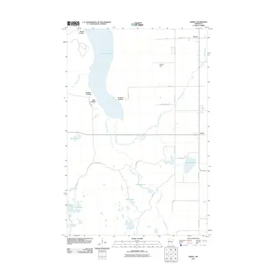 2011 Zerkel2011 Print · USGSCovers Bush Landing, including Minerva, Ponsford Landing, and other nearby areas
 - 2013 Map of Zerkel, 2013 Print
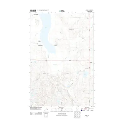 2013 Zerkel2013 Print · USGSCovers Bush Landing, including Minerva, Ponsford Landing, and other nearby areas
 - 2016 Map of Zerkel, 2016 Print
 2016 Zerkel2016 Print · USGSCovers Bush Landing, including Minerva, Ponsford Landing, and other nearby areas
 - 2019 Map of Zerkel, 2019 Print
 2019 Zerkel2019 Print · USGSCovers Bush Landing, including Minerva, Ponsford Landing, and other nearby areas
 - 2022 Map of Zerkel, 2022 Print
 2022 Zerkel2022 Print · USGSNorthern Minnesota's lake country is captured here in the early twenty-first century, centered on the expansive Lower Rice Lake. Researchers can trace the layout of Zerkel and South End or locate the Minerva Township Cem near the riverbanks.
End of results
Showing maps 1-10 of 10
Top cities near Bush Landing
Frequently asked questions
- What are the different types of historical maps available for Bush Landing?
- What is the oldest map of Bush Landing?
- Where can I purchase historical maps of Bush Landing for my home or office?
- Where can I download high-res historical maps of Bush Landing?
- Are there historical topographic maps available for Bush Landing?
- Is there historical aerial imagery available for Bush Landing?
- Where are historical maps of Bush Landing sourced from?