Old Maps of Ironton, Minnesota
Explore 24 old maps of Ironton, spanning from 1912 to today. These high-resolution historic maps reveal how streets, neighborhoods, landmarks, and natural features evolved over time — perfect for genealogy, metal detecting, research, and local history exploration.
What you can do with these maps:
- See how Ironton changed over time: Compare historical maps to modern-day views to trace roads, homesites, rail lines & more.
- View detailed metadata: Each map includes creators, publishers, year, scale, and archive source.
- Overlay maps with satellite & LiDAR: Visualize the past alongside modern tools to explore terrain & human change.
- Trusted historical sources: Maps sourced from the USGS, Library of Congress, and other archives.
- Access maps your way: View online, download high-res files, or order prints for personal or research use.
Start exploring old maps of Ironton to uncover forgotten places, hidden landmarks, and the deep history beneath your feet.
Ironton, MN maps
(24)- 1912 Map of Deerwood, 1963 Print
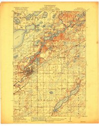
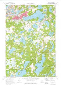
 1912 Deerwood1963 Print · USGSIn the decade before the region's full industrialization, this survey captures the lake-country settlements of Deerwood and Crosby just as the Northern Pacific railroad was driving local growth. Genealogists can locate dozens of early district schools and local landmarks like Doris Church and Katrine School.2 unique versions available
 - 1914 Map of Deerwood
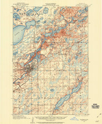
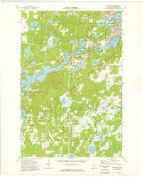
 1914 Deerwood1914 Print · USGSCrow Wing and Aitkin counties are captured here just before the First World War, showing the growth of iron range towns and lakeside settlements. Genealogists and researchers can trace early rural life through nearly twenty numbered schoolhouses, the Dorris Church, and railroad stops at Crosby and Ironton.3 unique versions available
 - 1915 Map of Brainerd, 1960 Print
 1915 Brainerd1960 Print · USGSCrow Wing County during the early twentieth century is captured here as a landscape of interconnected lakes, railroads, and emerging settlements. Genealogists can trace rural school districts from School No 57 to School No 26 and locate early rail stops like Merrifield and Riverton.2 unique versions available
 - 1918 Map of Brainerd
 1918 Brainerd1918 Print · USGSCrow Wing County at the height of its rail-and-river era shows a landscape shaped by water and industry. Genealogists can locate specific district schoolhouses and early settlements like Brainerd, Merrifield, and Riverton along the Mississippi River.3 unique versions available
 - 1953 Map of Duluth, 1964 Print
 1953 Duluth1964 Print · USGSNortheastern Minnesota and northwestern Wisconsin are shown here during a period of industrial maturity and expanding conservation. Genealogists and historians can trace rail-connected towns like McGrath and Wahkon, or locate heritage sites within the Fond du Lac Indian Reservation.2 unique versions available
 - 1953 Map of Brainerd, 1966 Print
 1953 Brainerd1966 Print · USGSCentral Minnesota's lake country and iron ranges are detailed in the mid-fifties, showing the intersection of industry and wilderness. Researchers can locate specific local landmarks like the Crow Wing County Courthouse or trace the early paths of the Soo Line Railroad and the Cuyuna Range Iron Mines.3 unique versions available
 - 1957 Map of Brainerd
 1957 Brainerd1957 Print · USGSNorth-central Minnesota's lake-rich landscape is captured in the mid-1950s as a crossroads of rail, river, and forest. Genealogists and historians can trace the paths of the Great Northern and Soo Line railroads through hubs like Brainerd, Wadena, and Detroit Lakes.
 - 1958 Map of Brainerd
 1958 Brainerd1958 Print · USGSCentral Minnesota in the late fifties is a landscape of dense lake chains, rail hubs, and sprawling state forests. Genealogists and local historians can trace old property alignments near the Mississippi River or locate family sites in Brainerd, Little Falls, and Detroit Lakes.
 - 1958 Map of Duluth
 1958 Duluth1958 Print · USGSNortheastern Minnesota and the Wisconsin borderlands are shown in detail during the late 1950s, centered on the bustling rail yards and ports of Duluth. You can trace the historic routes of the Soo Line and Duluth Missabe & Iron Range through small towns like McGrath, Bruno, and Wrenshall.
 - 1965 Map of Brainerd
 1965 Brainerd1965 Print · USGSNorth-central Minnesota in the mid-fifties presents a complex landscape of sprawling lake systems and established rail corridors. Genealogists and historians can trace the growth of timber towns along the Northern Pacific RR and explore early borders of the White Earth Indian Reservation or Tamarac National Wildlife Refuge.
 - 1973 Map of Crosby, 1976 Print
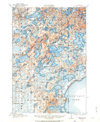
 1973 Crosby1976 Print · USGSThe Cuyuna Iron Range comes into sharp focus during the 1970s, showing a landscape defined by industrial iron pits and expansive lakes. Genealogists and historians can trace the mining footprint at the Portsmouth Mine or locate family sites near Irondale Cem and Deerwood Cem.
 - 1973 Map of Riverton, 1976 Print
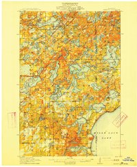
 1973 Riverton1976 Print · USGSCrow Wing County's iron-mining heritage is on full display in the early seventies, centered on the village of Riverton. Researchers can trace the extensive footprints of the Sagamore Mine and Snowshoe Mine or locate early settlements at Loerch and Woodrow.
 - 1985 Map of Mille Lacs Lake
 1985 Mille Lacs Lake1985 Print · USGSMille Lacs Lake and its surrounding settlements are shown in the mid-1980s as a hub of lake-shore recreation and rail commerce. Researchers can trace historic transport lines like the Soo Line and locate communities such as Wahkon and Garrison.2 unique versions available
 - 1986 Map of Brainerd
 1986 Brainerd1986 Print · USGSCentral Minnesota's lake country and river junctions are captured here in the mid-1980s. Genealogists and historians can trace the Burlington Northern line through Staples or locate family sites near Brainerd State Hospital and Gull Lake.2 unique versions available
 - 2010 Map of Crosby, 2010 Print
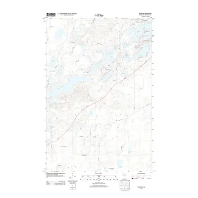
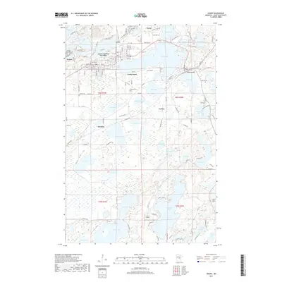
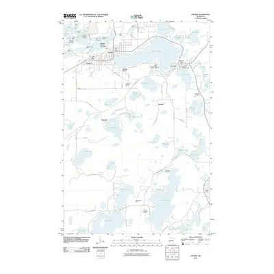 2010 Crosby2010 Print · USGSCovers Ironton, including Crosby, Deerwood, and other nearby areas
 - 2010 Map of Riverton, 2010 Print
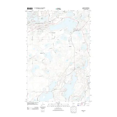
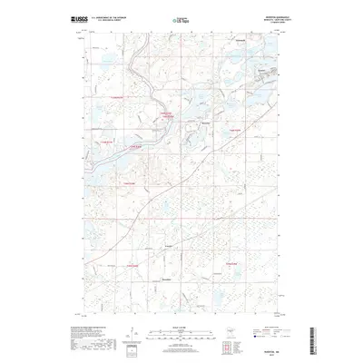
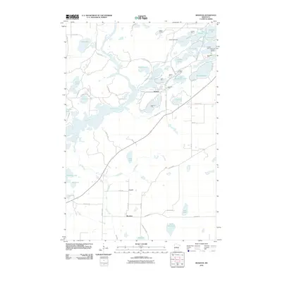 2010 Riverton2010 Print · USGSCovers Ironton, including Trommald, Riverton, and other nearby areas
 - 2013 Map of Riverton, 2013 Print
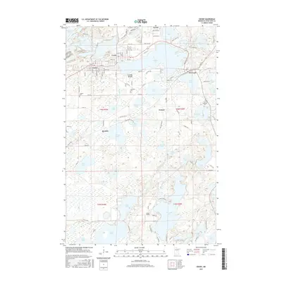
 2013 Riverton2013 Print · USGSCovers Ironton, including Trommald, Riverton, and other nearby areas
 - 2013 Map of Crosby, 2013 Print
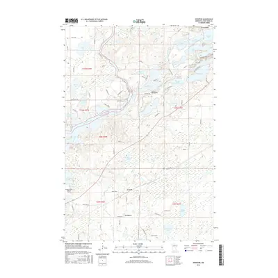
 2013 Crosby2013 Print · USGSCovers Ironton, including Crosby, Deerwood, and other nearby areas
 - 2016 Map of Crosby, 2016 Print
 2016 Crosby2016 Print · USGSCovers Ironton, including Crosby, Deerwood, and other nearby areas
 - 2016 Map of Riverton, 2016 Print
 2016 Riverton2016 Print · USGSCovers Ironton, including Trommald, Riverton, and other nearby areas
 - 2019 Map of Crosby, 2019 Print
 2019 Crosby2019 Print · USGSCovers Ironton, including Crosby, Deerwood, and other nearby areas
 - 2019 Map of Riverton, 2019 Print
 2019 Riverton2019 Print · USGSCovers Ironton, including Trommald, Riverton, and other nearby areas
 - 2022 Map of Crosby, 2022 Print
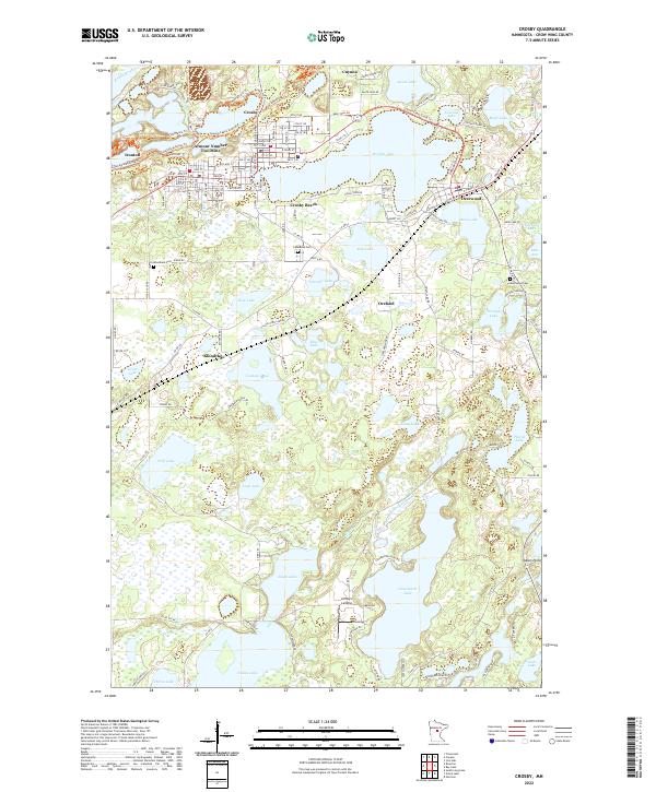 2022 Crosby2022 Print · USGSThe Cuyuna Range lake country is documented here in the early 2020s, showing the intersection of industrial history and modern recreation. Trace the mining heritage of the Armour Number Two Mine and find local landmarks like Lindey's Landing or Lakewood Cem.
 - 2022 Map of Riverton, 2022 Print
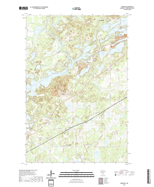 2022 Riverton2022 Print · USGSIron mining history and glacial lakes converge here in the early twenty-first century near the Mississippi River. Genealogists and researchers can trace the roads of Riverton, Ironton, and Trommald or locate the sprawling Mountain Pits and Little Rabbit Lake.
End of results
Showing maps 1-24 of 24
Top cities near Ironton
- Brainerd historical maps
- Baxter historical maps
- Crosby historical maps
- Breezy Point historical maps
- Bay Lake historical maps
- Mission historical maps
See more
Frequently asked questions
- What are the different types of historical maps available for Ironton?
- What is the oldest map of Ironton?
- Where can I purchase historical maps of Ironton for my home or office?
- Where can I download high-res historical maps of Ironton?
- Are there historical topographic maps available for Ironton?
- Is there historical aerial imagery available for Ironton?
- Where are historical maps of Ironton sourced from?