Old Maps of Cherry Grove Township, Minnesota for Genealogy
Trace your family roots with 28 historic maps of Cherry Grove Township. These high-res maps reveal old neighborhoods, homesites, landmarks, and streets — helping you uncover where your ancestors lived and how the area evolved over time.
- Explore historic neighborhoods: Identify where your relatives may have lived in the 1800s or 1900s.
- Compare maps over time: Trace the changes in streets, buildings, and landmarks for multi-generational research.
- Perfect for genealogy & ancestry research: Used by family historians and researchers to map out lineage and migration.
These maps are an incredible resource for exploring your personal connection to Cherry Grove Township's past.
Cherry Grove Township, MN maps
(28)- 1953 Map of Saint Paul, 1964 Print
 1953 Saint Paul1964 Print · USGSThe Twin Cities and the Mississippi River valley are captured here at a mid-century turning point. Trace the early growth of Minneapolis and Saint Paul alongside landmarks like Lake Minnetonka and the St Croix River.4 unique versions available
 - 1959 Map of Saint Paul
 1959 Saint Paul1959 Print · USGSThe Twin Cities and southeastern Minnesota appear here in the late fifties, showing the peak of the rail era and post-war suburban growth. Genealogists can trace family footprints near Lake Minnetonka, the Univ Of Minn Rosemount Research Center, or the growing neighborhoods of Richfield.2 unique versions available
 - 1965 Map of Concord, 1966 Print
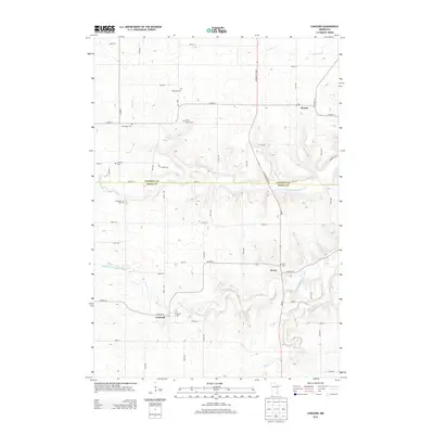
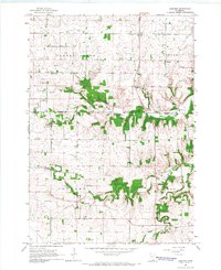 1965 Concord1966 Print · USGSThe rural countryside of Dodge and Goodhue counties comes into focus in the mid-1960s, showing a landscape defined by the Zumbro River. Trace old homesteads near Berne, Roscoe, and the rural St Rose Ch or Riverside Cem.2 unique versions available
 - 1965 Map of West Concord, 1966 Print
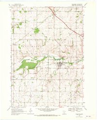
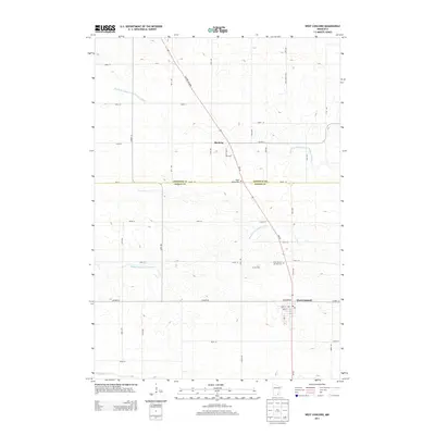
 1965 West Concord1966 Print · USGSDodge County farmland was defined by its rails and rivers in the mid-sixties, with the Chicago Great Western railroad serving as a vital corridor. Genealogists can locate family landmarks like Hegre Ch Cem and the small settlement of Skyberg near the Goodhue County line.
 - 1968 Map of Kenyon, 1970 Print
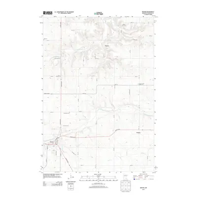
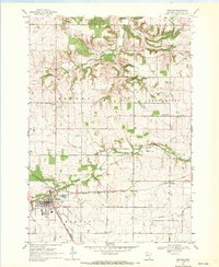 1968 Kenyon1970 Print · USGSKenyon and the surrounding Goodhue County townships are captured in the late 1960s at a peak of rail activity. Genealogists can trace family sites at Wangs Cem and St Michaels Cem or locate the old Nansen and Bombay settlements.2 unique versions available
 - 1968 Map of Wanamingo, 1970 Print
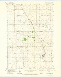
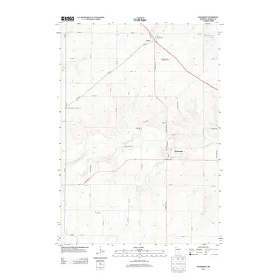
 1968 Wanamingo1970 Print · USGSGoodhue County comes into focus in the late sixties as the rail-and-river economy centers on the town of Wanamingo. Local historians can trace family ties at Trinity Cem and Dale Cem, or follow the Chicago Milwaukee St Paul and Pacific railroad through the valley.2 unique versions available
 - 1985 Map of Rochester
 1985 Rochester1985 Print · USGSSoutheastern Minnesota in the mid-eighties centers on the growth of Rochester and its surrounding river valleys. Trace family roots and old rail lines through Mantorville, Pine Island, and along the Mississippi River near Lake Pepin.
 - 1989 Map of Rochester
 1989 Rochester1989 Print · USGSSoutheastern Minnesota and the Mississippi River bluffs are captured here in the late eighties as the region balanced urban growth with its river-and-rail heritage. Researchers can trace the development of Rochester and find smaller rail towns like Kasson, Dodge Center, and Zumbrota.2 unique versions available
 - 2010 Map of West Concord, 2010 Print
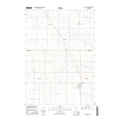
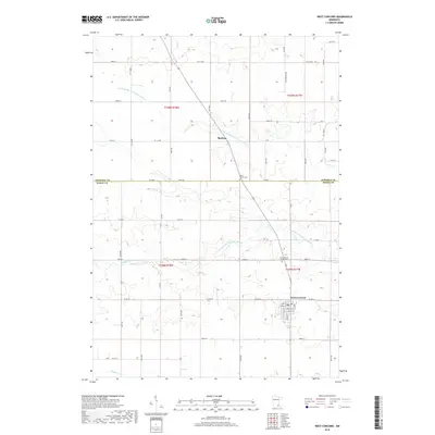
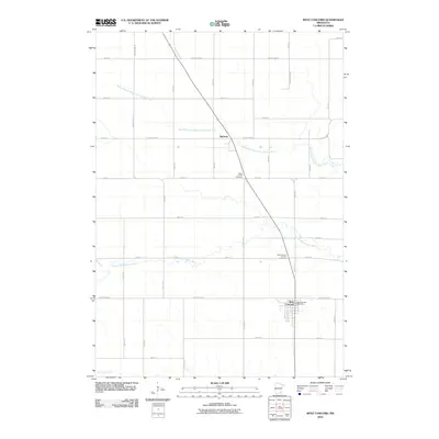 2010 West Concord2010 Print · USGSCovers Cherry Grove Township, including West Concord, Kenyon Township, and other nearby areas
 - 2010 Map of Wanamingo, 2010 Print
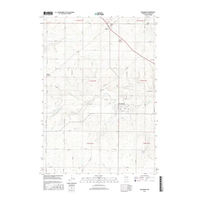
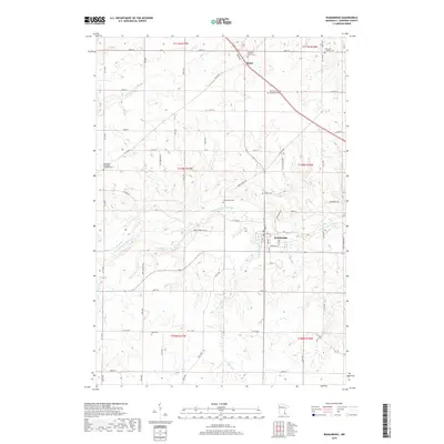
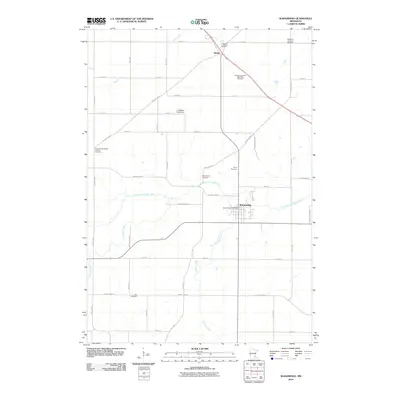 2010 Wanamingo2010 Print · USGSCovers Cherry Grove Township, including Wanamingo, Aspelund, and other nearby areas
 - 2010 Map of Kenyon, 2010 Print
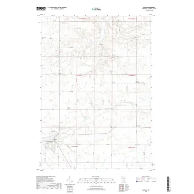
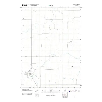 2010 Kenyon2010 Print · USGSCovers Cherry Grove Township, including Kenyon, Warsaw Township, and other nearby areas
 - 2010 Map of Concord, 2010 Print
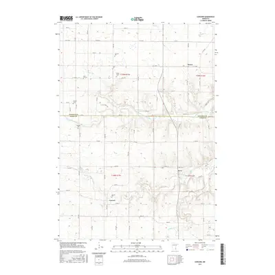
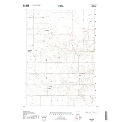
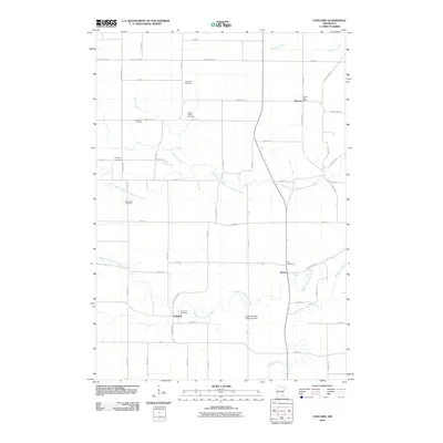 2010 Concord2010 Print · USGSCovers Cherry Grove Township, including Roscoe, Concord, and other nearby areas
 - 2013 Map of West Concord, 2013 Print
 2013 West Concord2013 Print · USGSCovers Cherry Grove Township, including West Concord, Kenyon Township, and other nearby areas
 - 2013 Map of Concord, 2013 Print
 2013 Concord2013 Print · USGSCovers Cherry Grove Township, including Roscoe, Concord, and other nearby areas
 - 2013 Map of Kenyon, 2013 Print
 2013 Kenyon2013 Print · USGSCovers Cherry Grove Township, including Kenyon, Warsaw Township, and other nearby areas
 - 2013 Map of Wanamingo, 2013 Print
 2013 Wanamingo2013 Print · USGSCovers Cherry Grove Township, including Wanamingo, Aspelund, and other nearby areas
 - 2016 Map of West Concord, 2016 Print
 2016 West Concord2016 Print · USGSCovers Cherry Grove Township, including West Concord, Kenyon Township, and other nearby areas
 - 2016 Map of Wanamingo, 2016 Print
 2016 Wanamingo2016 Print · USGSCovers Cherry Grove Township, including Wanamingo, Aspelund, and other nearby areas
 - 2016 Map of Kenyon, 2016 Print
 2016 Kenyon2016 Print · USGSCovers Cherry Grove Township, including Kenyon, Warsaw Township, and other nearby areas
 - 2016 Map of Concord, 2016 Print
 2016 Concord2016 Print · USGSCovers Cherry Grove Township, including Roscoe, Concord, and other nearby areas
 - 2019 Map of Wanamingo, 2019 Print
 2019 Wanamingo2019 Print · USGSCovers Cherry Grove Township, including Wanamingo, Aspelund, and other nearby areas
 - 2019 Map of Kenyon, 2019 Print
 2019 Kenyon2019 Print · USGSCovers Cherry Grove Township, including Kenyon, Warsaw Township, and other nearby areas
 - 2019 Map of Concord, 2019 Print
 2019 Concord2019 Print · USGSCovers Cherry Grove Township, including Roscoe, Concord, and other nearby areas
 - 2019 Map of West Concord, 2019 Print
 2019 West Concord2019 Print · USGSCovers Cherry Grove Township, including West Concord, Kenyon Township, and other nearby areas
 - 2022 Map of Kenyon, 2022 Print
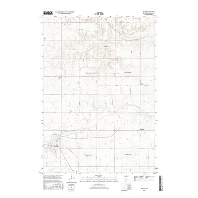
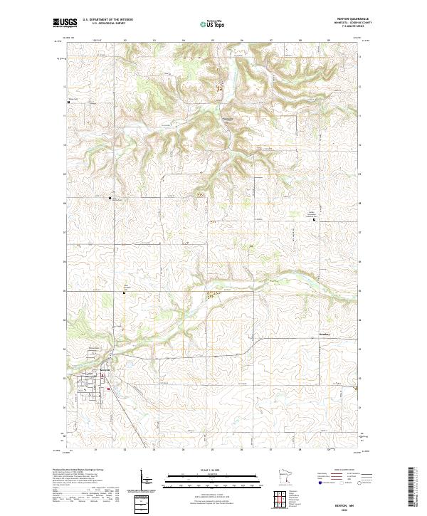 2022 Kenyon2022 Print · USGSThe rural landscape of Goodhue County is captured here in the early 2020s, centered on the river-fed town of Kenyon. Researchers can trace old family burial sites like Holden Norwegian Lutheran Cem and smaller hamlets such as Nansen and Bombay.
Showing maps 1-25 of 28
Top cities near Cherry Grove Township
- Kasson historical maps
- Byron historical maps
- Pine Island historical maps
- Zumbrota historical maps
- Dodge Center historical maps
- Kenyon historical maps
See more
Frequently asked questions
- What are the different types of historical maps available for Cherry Grove Township?
- What is the oldest map of Cherry Grove Township?
- Where can I purchase historical maps of Cherry Grove Township for my home or office?
- Where can I download high-res historical maps of Cherry Grove Township?
- Are there historical topographic maps available for Cherry Grove Township?
- Is there historical aerial imagery available for Cherry Grove Township?
- Where are historical maps of Cherry Grove Township sourced from?