2000s (21st Century) Maps of Featherstone Township, Minnesota
Explore 20 historic maps of Featherstone Township from the 2000s (21st Century). These maps offer a rare glimpse into what life looked like during the 2000s — showing old roads, neighborhoods, homes, and landmarks that have changed or disappeared over time.
Whether you're researching your family's past, planning a metal detecting trip, or studying how Featherstone Township's landscape evolved across the 2000s, these high-resolution maps are a powerful tool for exploring the history of this region.
- Focus on a specific era: All maps on this page are from the 2000s, giving you a focused view of this time period.
- See what’s changed: Compare century-old streets, trails, and buildings to today's modern landscape using overlays and satellite layers.
- Research with precision: Use these maps for genealogy, historical research, land use analysis, or educational projects.
- View, download, or print: Maps are fully viewable online in high resolution, and can be downloaded or printed for your own records.
Start exploring Featherstone Township's history through authentic maps from the 2000s. This is your window into the past.
Featherstone Township, MN maps
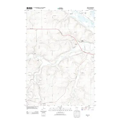
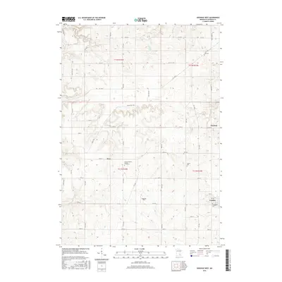
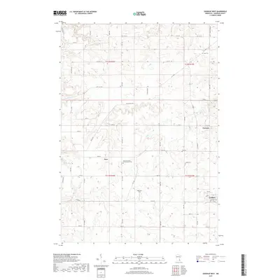
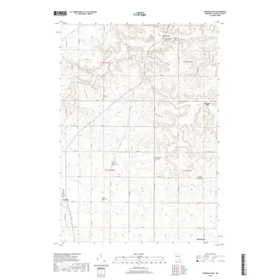
(20)- 2010 Map of Goodhue East, 2010 Print
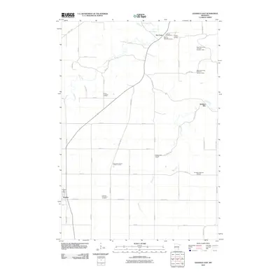 2010 Goodhue East2010 Print · USGSCovers Featherstone Township, including Goodhue, Hay Creek, and other nearby areas
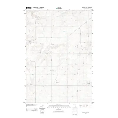
 - 2010 Map of Goodhue West, 2010 Print
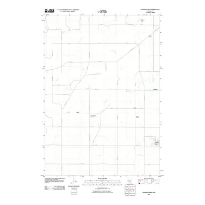 2010 Goodhue West2010 Print · USGSCovers Featherstone Township, including Goodhue, Ryan, and other nearby areas
 - 2010 Map of Welch, 2010 Print
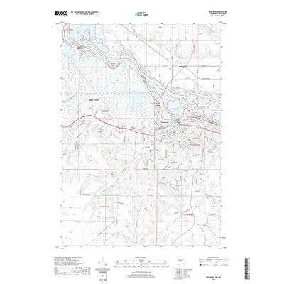
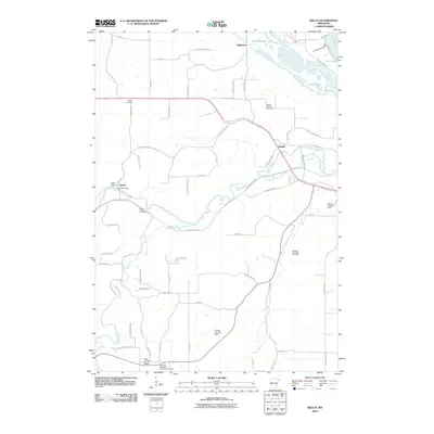 2010 Welch2010 Print · USGSCovers Featherstone Township, including Red Wing, Vasa, and other nearby areas
 - 2010 Map of Red Wing, 2010 Print
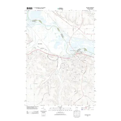
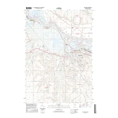
 2010 Red Wing2010 Print · USGSCovers Featherstone Township, including Red Wing, Trenton, and other nearby areas
 - 2013 Map of Welch, 2013 Print
 2013 Welch2013 Print · USGSCovers Featherstone Township, including Red Wing, Vasa, and other nearby areas
 - 2013 Map of Goodhue West, 2013 Print
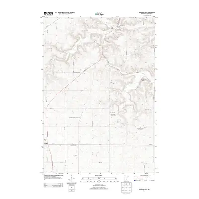
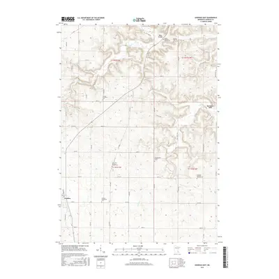
 2013 Goodhue West2013 Print · USGSCovers Featherstone Township, including Goodhue, Ryan, and other nearby areas
 - 2013 Map of Red Wing, 2013 Print
 2013 Red Wing2013 Print · USGSCovers Featherstone Township, including Red Wing, Trenton, and other nearby areas
 - 2013 Map of Goodhue East, 2013 Print
 2013 Goodhue East2013 Print · USGSCovers Featherstone Township, including Goodhue, Hay Creek, and other nearby areas
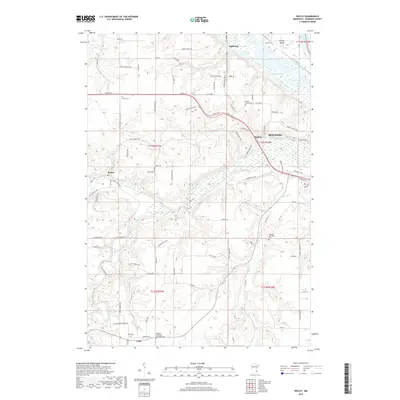
 - 2016 Map of Welch, 2016 Print
 2016 Welch2016 Print · USGSCovers Featherstone Township, including Red Wing, Vasa, and other nearby areas
 - 2016 Map of Goodhue West, 2016 Print
 2016 Goodhue West2016 Print · USGSCovers Featherstone Township, including Goodhue, Ryan, and other nearby areas
 - 2016 Map of Goodhue East, 2016 Print
 2016 Goodhue East2016 Print · USGSCovers Featherstone Township, including Goodhue, Hay Creek, and other nearby areas
 - 2016 Map of Red Wing, 2016 Print
 2016 Red Wing2016 Print · USGSCovers Featherstone Township, including Red Wing, Trenton, and other nearby areas
 - 2019 Map of Goodhue West, 2019 Print
 2019 Goodhue West2019 Print · USGSCovers Featherstone Township, including Goodhue, Ryan, and other nearby areas
 - 2019 Map of Goodhue East, 2019 Print
 2019 Goodhue East2019 Print · USGSCovers Featherstone Township, including Goodhue, Hay Creek, and other nearby areas
 - 2019 Map of Red Wing, 2019 Print
 2019 Red Wing2019 Print · USGSCovers Featherstone Township, including Red Wing, Trenton, and other nearby areas
 - 2019 Map of Welch, 2019 Print
 2019 Welch2019 Print · USGSCovers Featherstone Township, including Red Wing, Vasa, and other nearby areas
 - 2022 Map of Red Wing, 2022 Print
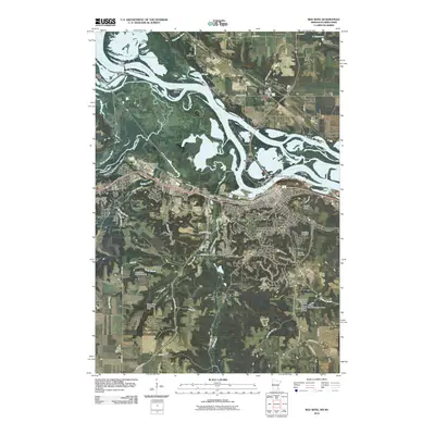
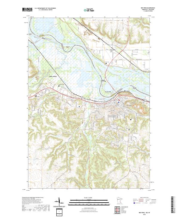 2022 Red Wing2022 Print · USGSThe Mississippi River valley comes into focus in the early 2020s, showing the enduring riverfront character of Red Wing. Researchers can locate several burial grounds including Oakwood Cem and Saint Johns Cem, or trace the paths of the Goodhue Pioneer State Trl and Mississippi River Trl.
 - 2022 Map of Welch, 2022 Print
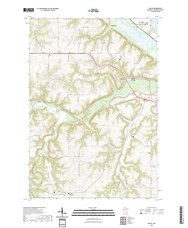 2022 Welch2022 Print · USGSThe river valleys of Goodhue County meet at the turn of the 21st century, showing a landscape of fertile bottoms and upland settlements. Researchers can trace historic family burial sites at Vasa Cemetery or locate the community hubs of Welch and Eggleston.
 - 2022 Map of Goodhue West, 2022 Print
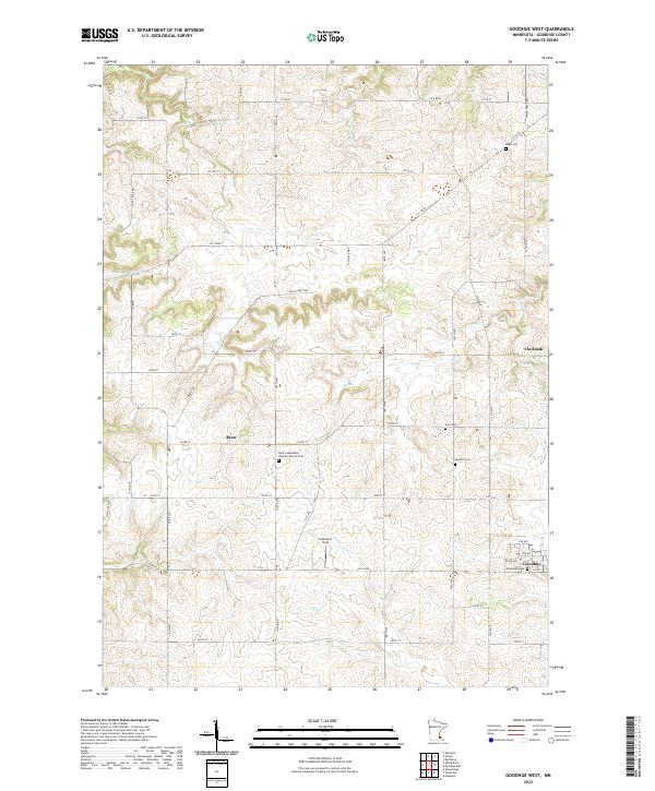 2022 Goodhue West2022 Print · USGSGoodhue County agriculture and rural life are documented here in the early twenty-first century. Genealogists can trace family connections through numerous burial grounds such as Saint Columbkill's Catholic Church Cem and Swedish Cem.
 - 2022 Map of Goodhue East, 2022 Print
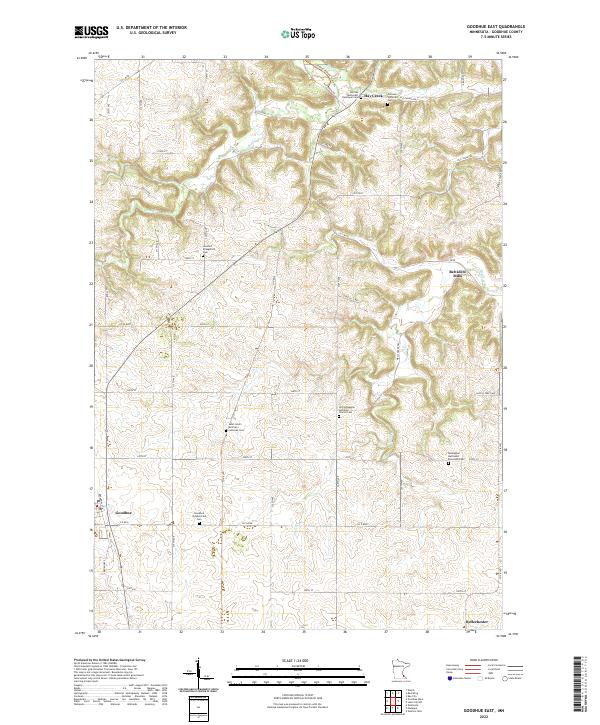 2022 Goodhue East2022 Print · USGSGoodhue County’s rural landscape is captured here in the early twenty-first century, showing a region deeply rooted in its immigrant heritage. Genealogists can trace family footprints through numerous denominational sites like Saint John's German Lutheran Cem and Belvidere Mills.
End of results
Showing maps 1-20 of 20
Top cities near Featherstone Township
- Hastings historical maps
- Red Wing historical maps
- Ellsworth historical maps
- Zumbrota historical maps
- Oak Grove historical maps
- Trenton historical maps
See more
Frequently asked questions
- What are the different types of historical maps available for Featherstone Township?
- What is the oldest map of Featherstone Township?
- Where can I purchase historical maps of Featherstone Township for my home or office?
- Where can I download high-res historical maps of Featherstone Township?
- Are there historical topographic maps available for Featherstone Township?
- Is there historical aerial imagery available for Featherstone Township?
- Where are historical maps of Featherstone Township sourced from?