Old Maps of Pine Island Township, Minnesota for Academic Research
Study the evolution of Pine Island Township with 28 high-resolution historic maps. Whether you're teaching, researching, or modeling changes in land use, these maps provide essential visual documentation of urban, environmental, and geographic change.
- Analyze long-term change: Track patterns in development, transportation, and natural features.
- Ideal for environmental or urban studies: Support academic projects with primary historical map data.
- Use in the classroom or lab: Educators and researchers rely on these maps to bring historical context to life.
These maps are a powerful tool for teaching, research, and visualizing how Pine Island Township has changed over the decades.
Pine Island Township, MN maps
(28)- 1953 Map of Saint Paul, 1964 Print
 1953 Saint Paul1964 Print · USGSThe Twin Cities and the Mississippi River valley are captured here at a mid-century turning point. Trace the early growth of Minneapolis and Saint Paul alongside landmarks like Lake Minnetonka and the St Croix River.4 unique versions available
 - 1959 Map of Saint Paul
 1959 Saint Paul1959 Print · USGSThe Twin Cities and southeastern Minnesota appear here in the late fifties, showing the peak of the rail era and post-war suburban growth. Genealogists can trace family footprints near Lake Minnetonka, the Univ Of Minn Rosemount Research Center, or the growing neighborhoods of Richfield.2 unique versions available
 - 1965 Map of Oronoco, 1967 Print
 1965 Oronoco1967 Print · USGSThe Olmsted County countryside near Oronoco is captured here in the mid-sixties, centered on the waters of Shady Lake. Genealogists and local historians can trace the Chicago Great Western rail line past St Peters Ch and the Townhall.2 unique versions available
 - 1965 Map of Pine Island, 1967 Print
 1965 Pine Island1967 Print · USGSPine Island and the surrounding agricultural townships are seen here in the mid-1960s as the rail and river networks shaped the region. Genealogists and local historians can locate early burial sites like St Michael Cem and follow the Chicago Great Western tracks.2 unique versions available
 - 1968 Map of Zumbrota, 1970 Print
 1968 Zumbrota1970 Print · USGSZumbrota and its surrounding townships are captured in the late sixties as the region's rail and agricultural patterns remained clearly defined. Genealogists and local historians can trace legacy sites like St Johns Ch, United Cem, and the small community of Forest Mills.2 unique versions available
 - 1968 Map of Mazeppa, 1970 Print
 1968 Mazeppa1970 Print · USGSThe river valley at Mazeppa and Bellechester is captured here during the late sixties, showing the transition from rail to road. You can trace the Old Railroad Grade along the North Fork Zumbro River or locate rural landmarks like Grace Ch and the local Townhall.2 unique versions available
 - 1985 Map of Rochester
 1985 Rochester1985 Print · USGSSoutheastern Minnesota in the mid-eighties centers on the growth of Rochester and its surrounding river valleys. Trace family roots and old rail lines through Mantorville, Pine Island, and along the Mississippi River near Lake Pepin.
 - 1989 Map of Rochester
 1989 Rochester1989 Print · USGSSoutheastern Minnesota and the Mississippi River bluffs are captured here in the late eighties as the region balanced urban growth with its river-and-rail heritage. Researchers can trace the development of Rochester and find smaller rail towns like Kasson, Dodge Center, and Zumbrota.2 unique versions available
 - 2010 Map of Pine Island, 2010 Print
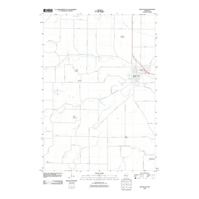 2010 Pine Island2010 Print · USGSPine Island and the Zumbro River forks are captured here during the first decade of the 21st century. Researchers can trace rural lineages through several local burial grounds, including Free Mission Cemetery and Saint Michael Cemetery.
 - 2010 Map of Mazeppa, 2010 Print
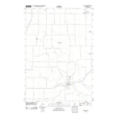 2010 Mazeppa2010 Print · USGSMazeppa and Bellechester appear at the start of the 21st century as the river-driven economy continues to shape the Zumbro Valley. Researchers can trace rural lineages through the Zumbrota East Cemetery, Grace Cemetery, and the Zumbro River Dam infrastructure.
 - 2010 Map of Zumbrota, 2010 Print
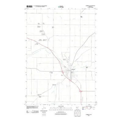 2010 Zumbrota2010 Print · USGSZumbrota and the surrounding Goodhue County townships are captured here during a period of modern agricultural stability. Genealogists can trace deep roots through several denominational sites like Stordahl Norwegian Lutheran Cemetery and Land Norwegian Lutheran Cemetery, or locate the historic Covered Bridge on the river.
 - 2010 Map of Oronoco, 2010 Print
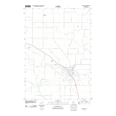 2010 Oronoco2010 Print · USGSOronoco sits at the confluence of the Zumbro River forks in the early twenty-first century, a landscape defined by water and wood. Genealogists can trace family names at Saint Peter's German Lutheran Cemetery or locate the Oronoco Post Office and Shady Lake.
 - 2013 Map of Oronoco, 2013 Print
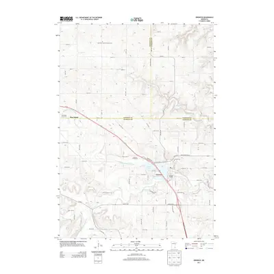 2013 Oronoco2013 Print · USGSSoutheast Minnesota at the start of the 2010s shows a landscape of river-fed valleys and rural township roads. Genealogists can locate family landmarks like the Saint Peter's German Lutheran Cem and the Oronoco Cem near the banks of Shady Lake.
 - 2013 Map of Pine Island, 2013 Print
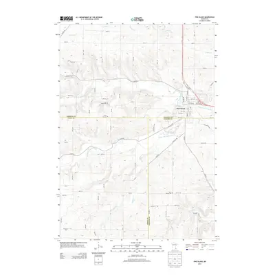 2013 Pine Island2013 Print · USGSPine Island and the surrounding tri-county borderlands of Goodhue, Dodge, and Olmsted counties are captured here in the early twenty-first century. Genealogists can locate several local burial grounds including Free Mission Cem and Saint Michael Cem along the Middle Fork Zumbro River.
 - 2013 Map of Zumbrota, 2013 Print
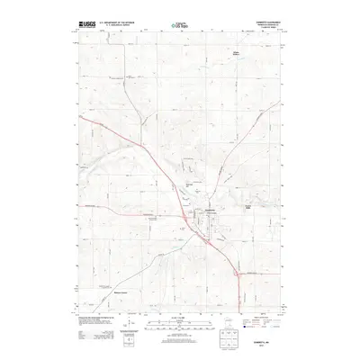 2013 Zumbrota2013 Print · USGSZumbrota and the surrounding Goodhue County countryside are shown here in the early twenty-first century, centered on the North Fork Zumbro River. Researchers can locate numerous heritage sites including the historic Covered Bridge, Saint John's Cem, and the small settlement of Forest Mills.
 - 2013 Map of Mazeppa, 2013 Print
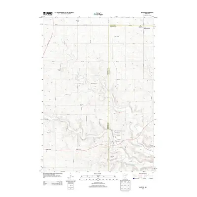 2013 Mazeppa2013 Print · USGSMazeppa and Bellechester appear at a point of modernization in the early twenty-first century, where the winding North Fork Zumbro River meets a grid of rural county roads. Researchers can identify family locations through named sites like Pahl View Farm and several local burial grounds, including Mazeppa Cem.
 - 2016 Map of Mazeppa, 2016 Print
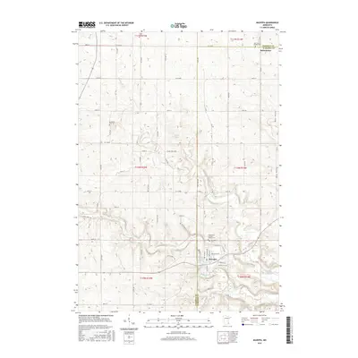 2016 Mazeppa2016 Print · USGSThe border of Goodhue and Wabasha Counties in the mid-2010s reveals a rural landscape deeply tied to the N Fork Zumbro River. Researchers can trace the history of Mazeppa and Bellechester through local landmarks like the Saints Peter and Paul Catholic Cem.
 - 2016 Map of Zumbrota, 2016 Print
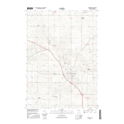 2016 Zumbrota2016 Print · USGSZumbrota and the surrounding river valley are captured here in the mid-2010s, showing a landscape defined by deep-rooted heritage and rural settlement. Genealogists can trace numerous denominational burial grounds like Land Norwegian Lutheran Cem and Saint John's Cem or locate the landmark Covered Bridge.
 - 2016 Map of Oronoco, 2016 Print
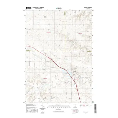 2016 Oronoco2016 Print · USGSOronoco and the surrounding tri-county borderlands are documented here during a period of modern growth and historical preservation. Genealogists and local researchers can locate the Saint Peter's German Lutheran Cem or trace the banks of Shady Lake and the Middle Fork Zumbro River.
 - 2016 Map of Pine Island, 2016 Print
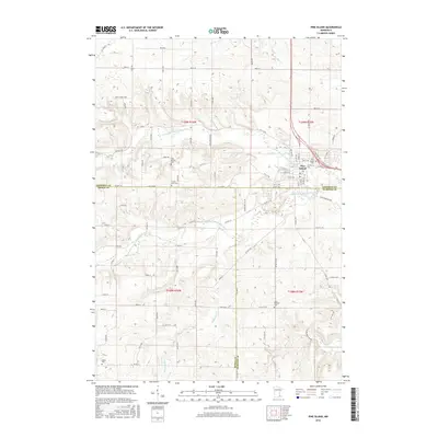 2016 Pine Island2016 Print · USGSPine Island and the surrounding farm country are shown in detail during the mid-2010s at the junction of three counties. Researchers can trace local heritage through numerous burial sites like Saint Michael Cem and Free Mission Cem along the Middle Fork Zumbro River.
 - 2019 Map of Mazeppa, 2019 Print
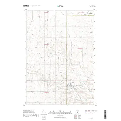 2019 Mazeppa2019 Print · USGSThe village of Mazeppa and the surrounding rural townships are shown here in the late twenty-tens as the region's agricultural and river-valley character remains well-preserved. Researchers can locate numerous local burial grounds including Saints Peter and Paul Catholic Cem and find the small community of Bellechester.
 - 2019 Map of Pine Island, 2019 Print
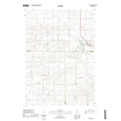 2019 Pine Island2019 Print · USGSPine Island and the surrounding agricultural townships are documented here during the late 2010s. Genealogists and local historians can trace family land proximity to landmarks like Pine Island Cem, Saint Michael Cem, and the Middle Fork Zumbro River.
 - 2019 Map of Oronoco, 2019 Print
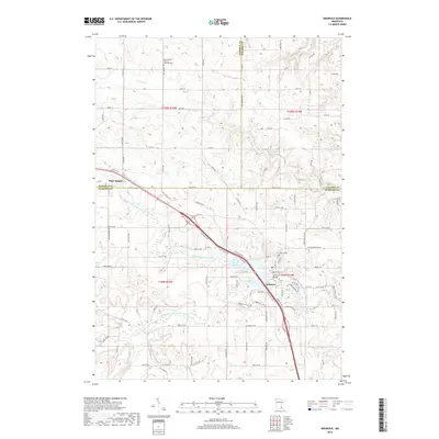 2019 Oronoco2019 Print · USGSSoutheast Minnesota near the borders of Goodhue, Olmsted, and Wabasha counties comes into focus in this recent survey. Researchers can trace rural lineages at the Oronoco Cem and Saint Peter's German Lutheran Cem or follow the path of the Middle Fork Zumbro River.
 - 2019 Map of Zumbrota, 2019 Print
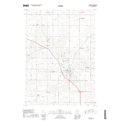 2019 Zumbrota2019 Print · USGSZumbrota and the surrounding Goodhue County countryside are documented here in the late 2010s. Researchers can trace local heritage through numerous sites like the Covered Bridge, Saint John's Cem, and the settlement at Forest Mills.
 - 2022 Map of Oronoco, 2022 Print
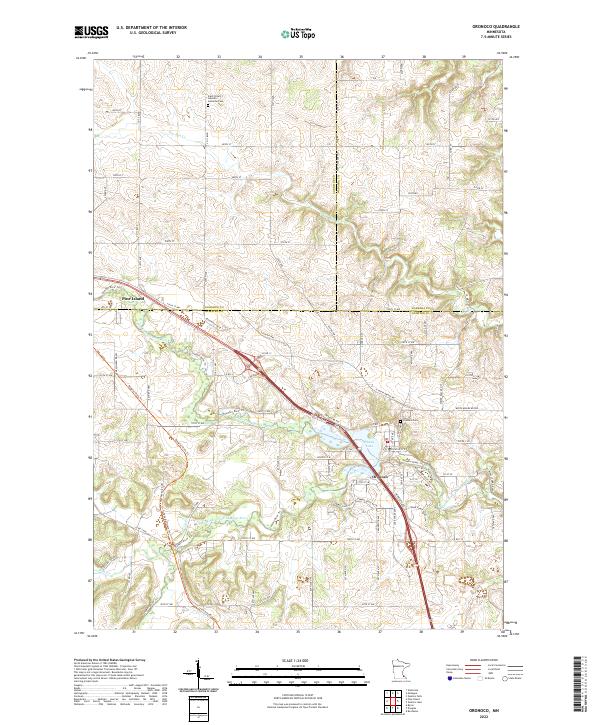 2022 Oronoco2022 Print · USGSSoutheast Minnesota’s river valleys are captured here in the early twenty-first century as the Zumbro River winds through Olmsted and Goodhue counties. Researchers can trace local heritage at Oronoco Cem or follow the waters of Shady Lake and the Middle Fork Zumbro River.
Showing maps 1-25 of 28
Top cities near Pine Island Township
- Rochester historical maps
- Kasson historical maps
- Byron historical maps
- Pine Island historical maps
- Zumbrota historical maps
- Dodge Center historical maps
See more
Frequently asked questions
- What are the different types of historical maps available for Pine Island Township?
- What is the oldest map of Pine Island Township?
- Where can I purchase historical maps of Pine Island Township for my home or office?
- Where can I download high-res historical maps of Pine Island Township?
- Are there historical topographic maps available for Pine Island Township?
- Is there historical aerial imagery available for Pine Island Township?
- Where are historical maps of Pine Island Township sourced from?