Old Maps of Houston County, Minnesota
Explore 32 old maps of Houston County, spanning from 1926 to today. These high-resolution historic maps reveal how streets, neighborhoods, landmarks, and natural features evolved over time — perfect for genealogy, metal detecting, research, and local history exploration.
What you can do with these maps:
- See how Houston County changed over time: Compare historical maps to modern-day views to trace roads, homesites, rail lines & more.
- View detailed metadata: Each map includes creators, publishers, year, scale, and archive source.
- Overlay maps with satellite & LiDAR: Visualize the past alongside modern tools to explore terrain & human change.
- Trusted historical sources: Maps sourced from the USGS, Library of Congress, and other archives.
- Access maps your way: View online, download high-res files, or order prints for personal or research use.
Start exploring old maps of Houston County to uncover forgotten places, hidden landmarks, and the deep history beneath your feet.
Houston County, MN maps
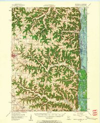
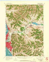
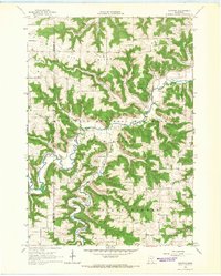
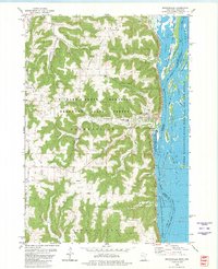
(32)- 1926 Map of Stoddard
 1926 Stoddard1926 Print · USGSCovers Houston County, including La Crosse, Shelby, and other nearby areas2 unique versions available
 - 1927 Map of La Crosse, 1960 Print
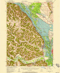
 1927 La Crosse1960 Print · USGSCovers Houston County, including La Crosse, Onalaska, and other nearby areas
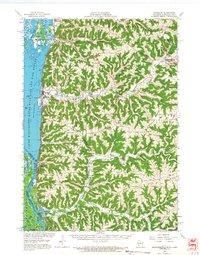
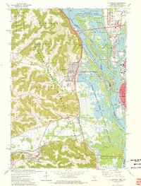
 - 1930 Map of La Crescent
 1930 La Crescent1930 Print · USGSCovers Houston County, including La Crosse, Holmen, and other nearby areas3 unique versions available
 - 1930 Map of La Crosse
 1930 La Crosse1930 Print · USGSCovers Houston County, including La Crosse, Onalaska, and other nearby areas3 unique versions available
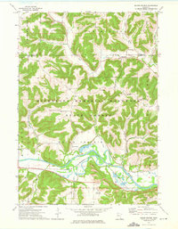
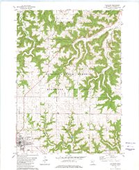
 - 1956 Map of Brownsville, 1958 Print
 1956 Brownsville1958 Print · USGSCovers Houston County, including Shelby, Caledonia, and other nearby areas2 unique versions available
 - 1956 Map of La Crescent, 1958 Print
 1956 La Crescent1958 Print · USGSCovers Houston County, including La Crosse, Holmen, and other nearby areas2 unique versions available
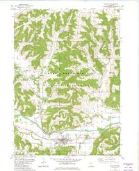
 - 1958 Map of Houston, 1959 Print
 1958 Houston1959 Print · USGSCovers Houston County, including Winona, Rushford, and other nearby areas2 unique versions available
 - 1958 Map of La Crosse, 1979 Print
 1958 La Crosse1979 Print · USGSCovers Houston County, including La Crosse, Winona, and other nearby areas2 unique versions available
 - 1961 Map of La Crosse
 1961 La Crosse1961 Print · USGSCovers Houston County, including La Crosse, Winona, and other nearby areas
 - 1963 Map of La Crosse, 1964 Print
 1963 La Crosse1964 Print · USGSCovers Houston County, including La Crosse, Onalaska, and other nearby areas2 unique versions available
 - 1963 Map of La Crosse, 1965 Print
 1963 La Crosse1965 Print · USGSCovers Houston County, including La Crosse, Onalaska, and other nearby areas3 unique versions available
 - 1965 Map of La Crosse
 1965 La Crosse1965 Print · USGSCovers Houston County, including La Crosse, Winona, and other nearby areas
 - 1965 Map of Wilmington, 1966 Print
 1965 Wilmington1966 Print · USGSCovers Houston County, including Caledonia, Spring Grove, and other nearby areas2 unique versions available
 - 1965 Map of Spring Grove, 1966 Print
 1965 Spring Grove1966 Print · USGSCovers Houston County, including Spring Grove, Black Hammer, and other nearby areas
 - 1965 Map of Sheldon, 1966 Print
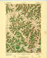
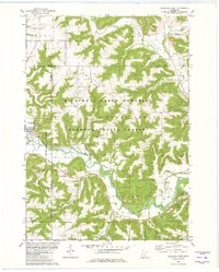
 1965 Sheldon1966 Print · USGSCovers Houston County, including Caledonia, Houston, and other nearby areas2 unique versions available
 - 1965 Map of Yucatan, 1966 Print
 1965 Yucatan1966 Print · USGSCovers Houston County, including Yucatan, Fillmore County, and other nearby areas
 - 1965 Map of Stoddard, 1968 Print
 1965 Stoddard1968 Print · USGSCovers Houston County, including La Crosse, Shelby, and other nearby areas
 - 1973 Map of Mound Prairie, 1975 Print
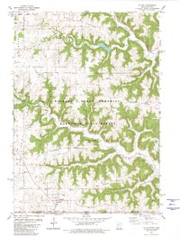
 1973 Mound Prairie1975 Print · USGSCovers Houston County, including South Ridge, Pine Creek, and other nearby areas
 - 1973 Map of La Crescent, 1976 Print
 1973 La Crescent1976 Print · USGSCovers Houston County, including La Crosse, La Crescent, and other nearby areas
 - 1976 Map of La Crosse
 1976 La Crosse1976 Print · USGSCovers Houston County, including La Crosse, Winona, and other nearby areas
 - 1980 Map of Brownsville
 1980 Brownsville1980 Print · USGSCovers Houston County, including Shelby, Brownsville, and other nearby areas
 - 1980 Map of Caledonia
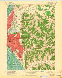
 1980 Caledonia1980 Print · USGSCovers Houston County, including Caledonia, Eastside Mobile Home Park, and other nearby areas
 - 1980 Map of Rushford East
 1980 Rushford East1980 Print · USGSCovers Houston County, including Rushford, Rushford Village, and other nearby areas
 - 1980 Map of Eitzen
 1980 Eitzen1980 Print · USGSCovers Houston County, including Caledonia, Eitzen, and other nearby areas
 - 1980 Map of Houston
 1980 Houston1980 Print · USGSCovers Houston County, including Houston, Money Creek, and other nearby areas
Showing maps 1-25 of 32
Top cities of Houston County
- La Crescent historical maps
- Caledonia historical maps
- Spring Grove historical maps
- Houston historical maps
- Hokah historical maps
- Money Creek historical maps
See more
Frequently asked questions
- What are the different types of historical maps available for Houston County?
- What is the oldest map of Houston County?
- Where can I purchase historical maps of Houston County for my home or office?
- Where can I download high-res historical maps of Houston County?
- Are there historical topographic maps available for Houston County?
- Is there historical aerial imagery available for Houston County?
- Where are historical maps of Houston County sourced from?