1900s (20th Century) Maps of Spencer Brook Township, Minnesota
Explore 18 historic maps of Spencer Brook Township from the 1900s (20th Century). These maps offer a rare glimpse into what life looked like during the 1900s — showing old roads, neighborhoods, homes, and landmarks that have changed or disappeared over time.
Whether you're researching your family's past, planning a metal detecting trip, or studying how Spencer Brook Township's landscape evolved across the 1900s, these high-resolution maps are a powerful tool for exploring the history of this region.
- Focus on a specific era: All maps on this page are from the 1900s, giving you a focused view of this time period.
- See what’s changed: Compare century-old streets, trails, and buildings to today's modern landscape using overlays and satellite layers.
- Research with precision: Use these maps for genealogy, historical research, land use analysis, or educational projects.
- View, download, or print: Maps are fully viewable online in high resolution, and can be downloaded or printed for your own records.
Start exploring Spencer Brook Township's history through authentic maps from the 1900s. This is your window into the past.
Spencer Brook Township, MN maps
(18)- 1916 Map of St. Francis, 1960 Print
 1916 St. Francis1960 Print · USGSAnoka and Isanti counties appear as a thriving network of rural townships and riverfront settlements just before the Great War. Genealogists can locate family-named landmarks and local hubs like Mitchell Corners, Nowthen, and the many numbered schoolhouses along the Rum River.3 unique versions available
 - 1919 Map of St. Francis
 1919 St. Francis1919 Print · USGSAnoka and Isanti counties come alive in the decade following the Great War, showing a landscape defined by the winding Rum River. Genealogists can trace early homesteads and community hubs like Saint Francis, Mitchell Corners, and the Nowthen School.2 unique versions available
 - 1953 Map of Stillwater, 1980 Print
 1953 Stillwater1980 Print · USGSThe Twin Cities and the St. Croix Valley are captured in this mid-century survey as the interstate era began to transform the Upper Midwest. Genealogists and historians can trace the rail-and-river geography of Stillwater, locate landmarks in Anoka, or explore the sprawling St Croix State Park.
 - 1955 Map of Stillwater, 1965 Print
 1955 Stillwater1965 Print · USGSThe Upper St. Croix Valley and the growing Twin Cities area are shown here during the mid-fifties, before the interstate era transformed the regional commute. You can trace the lines of the Northern Pacific RR through towns like Rush City or locate the Saint Croix Indian Reservation.
 - 1958 Map of Stillwater
 1958 Stillwater1958 Print · USGSThe Upper Mississippi and St. Croix River valleys appear in the mid-fifties as the Twin Cities expanded north. Genealogists can locate family landmarks like Oak Park Cem, Saint Michael Church, and the Soo Line RR rail corridors.2 unique versions available
 - 1961 Map of Lake Fremont, 1963 Print
 1961 Lake Fremont1963 Print · USGSSherburne County is shown here in the early sixties as a region of dense glacial lakes and burgeoning township life. Researchers can find family sites near Zimmerman, Livonia Cem, and the old Community Hall.3 unique versions available
 - 1961 Map of Wyanett, 1963 Print
 1961 Wyanett1963 Print · USGSIsanti County’s glacial lakes and winding river valleys are captured here in the early sixties, showing the rural townships of Wyanett and Spencer Brook. Genealogists can locate several local burial grounds including Old Wyanett Free Cem and Clough Cem, or trace the Rum River past West Point.2 unique versions available
 - 1961 Map of Elk River, 1965 Print
 1961 Elk River1965 Print · USGSThe Elk River and Mississippi River valleys in the early 1960s showcase a landscape of shifting industry and conservation. Local researchers can trace family sites at Orrock Cem, find Zimmerman's post office, and locate the Sand Dunes Lookout Tower.
 - 1961 Map of Dalbo, 1965 Print
 1961 Dalbo1965 Print · USGSIsanti County in the early 1960s was a landscape of township halls and country schoolhouses centered on the winding Rum River. Genealogists can locate family sites at the Old Wyanett Free Cem, King Cem, and the rural Siloa Ch.
 - 1965 Map of Stillwater
 1965 Stillwater1965 Print · USGSThe Twin Cities and the St. Croix Valley are mapped here during a period of significant post-war growth and industrial transit. Genealogists and historians can trace rail lines like the Northern Pacific RR through towns such as Rush City, Amery, and Balsam Lake.
 - 1968 Map of Princeton, 1970 Print
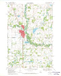 1968 Princeton1970 Print · USGSPrinceton and the surrounding Minnesota lake country are captured here in the late sixties as the town established its modern footprint. Trace local family history and rural development through landmarks like Brickton, Ebenezer Cem, and the Great Northern rail line.2 unique versions available
 - 1974 Map of Crown, 1976 Print
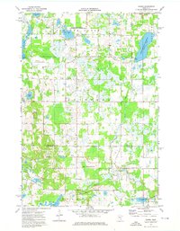 1974 Crown1976 Print · USGSThe Isanti and Anoka county line in the mid-seventies reveals a landscape of protected wetlands and rural outposts. Researchers can trace local genealogy and land use at Crown, Zion Cem, and the Bar None Ranch.
 - 1975 Map of Stillwater
 1975 Stillwater1975 Print · USGSThe Twin Cities and the St. Croix Valley are captured in the mid-seventies, showing the urban growth of Minneapolis and St Paul. Researchers can trace old rail corridors of the Northern Pacific RR and locate tribal lands at the Mille Lacs Indian Reservation.2 unique versions available
 - 1985 Map of Mora
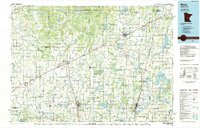 1985 Mora1985 Print · USGSCentral Minnesota's river valleys and farming hubs are captured here in the mid-eighties, showing the region before significant modern expansion. Researchers can trace historic rail lines like the Burlington Northern and locate community landmarks in Mora, Milaca, and Princeton.
 - 1985 Map of Anoka
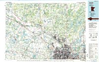 1985 Anoka1985 Print · USGSThe northern Twin Cities suburbs and the Mississippi River valley are captured here in the mid-eighties as suburban growth began to meet rural conservation lands. Trace the expansion of Anoka and Blaine, or locate family landmarks near the Rum River and Buffalo Lake.
 - 1991 Map of Mora
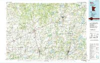 1991 Mora1991 Print · USGSThe Rum River valley and central Minnesota lakelands are shown in great detail in the early 1990s. Genealogists and local historians can trace rural school locations, family cemeteries, and local landmarks like St. Marys Ch or the Municipal Airport in Mora.
 - 1991 Map of Anoka, 1992 Print
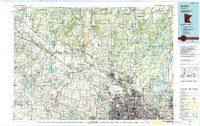 1991 Anoka1992 Print · USGSThe northern Twin Cities suburbs and the upper Mississippi River valley are captured here in the early nineties during a period of rapid suburban expansion. Trace the rail corridors of the Burlington Northern Railroad or explore the boundaries of the Sherburne National Wildlife Refuge and Lake Maria State Park.
 - 1991 Map of Lake Fremont, 1995 Print
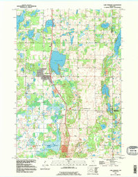 1991 Lake Fremont1995 Print · USGSSherburne County is shown here in the early nineties, a period of transition as the Elk River area expanded into its rural surroundings. Genealogists and local historians can trace burial sites at Livonia Cem and Whitney Cem or explore the shores of Lake Fremont.
End of results
Showing maps 1-18 of 18
Top cities near Spencer Brook Township
- Andover historical maps
- Ramsey historical maps
- Elk River historical maps
- Ham Lake historical maps
- East Bethel historical maps
- Otsego historical maps
See more
Top neighborhoods of Spencer Brook Township
Frequently asked questions
- What are the different types of historical maps available for Spencer Brook Township?
- What is the oldest map of Spencer Brook Township?
- Where can I purchase historical maps of Spencer Brook Township for my home or office?
- Where can I download high-res historical maps of Spencer Brook Township?
- Are there historical topographic maps available for Spencer Brook Township?
- Is there historical aerial imagery available for Spencer Brook Township?
- Where are historical maps of Spencer Brook Township sourced from?