Old Maps of Nashwauk, Minnesota
Explore 36 old maps of Nashwauk, spanning from 1920 to today. These high-resolution historic maps reveal how streets, neighborhoods, landmarks, and natural features evolved over time — perfect for genealogy, metal detecting, research, and local history exploration.
What you can do with these maps:
- See how Nashwauk changed over time: Compare historical maps to modern-day views to trace roads, homesites, rail lines & more.
- View detailed metadata: Each map includes creators, publishers, year, scale, and archive source.
- Overlay maps with satellite & LiDAR: Visualize the past alongside modern tools to explore terrain & human change.
- Trusted historical sources: Maps sourced from the USGS, Library of Congress, and other archives.
- Access maps your way: View online, download high-res files, or order prints for personal or research use.
Start exploring old maps of Nashwauk to uncover forgotten places, hidden landmarks, and the deep history beneath your feet.
Nashwauk, MN maps
(36)- 1920 Map of Trout Lake
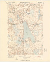
 1920 Trout Lake1920 Print · USGSItasca County's industrial heartland is documented here just as the mining boom transformed the landscape. Trace the early streets and rail spurs of Coleraine, Bovey, and Taconite, or locate lost sites like the U.S.B.M. Dam and Arcturus.
 - 1952 Map of Keewatin, 1954 Print
 1952 Keewatin1954 Print · USGSThe Iron Range pulses with industrial activity in the early fifties, centered on the mining hubs of Keewatin and Kelly Lake. Genealogists and industrial historians can trace the massive pits of the Stevenson Mine and Bennett Mine, alongside the complex rail networks of the Great Northern and Mesabi Chief Mine RR.4 unique versions available
 - 1952 Map of Nashwauk, 1954 Print
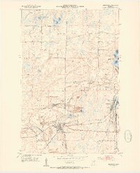
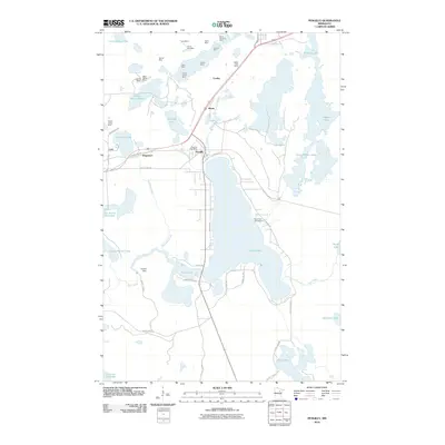
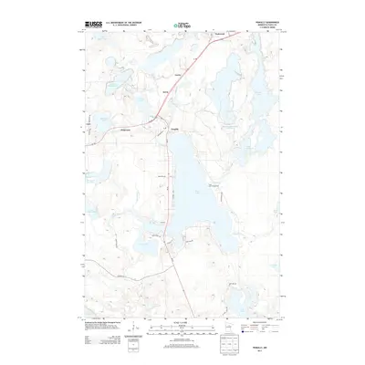
 1952 Nashwauk1954 Print · USGSNashwauk and the Mesabi Iron Range are shown at a peak of industrial activity in the early fifties. Genealogists and industrial historians can trace the intricate network of the Great Northern railroad connecting the Larue Mine, Cloverdale Sch, and Cooley.3 unique versions available
 - 1952 Map of Silica, 1954 Print
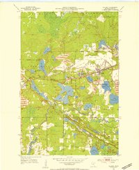
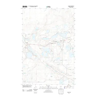
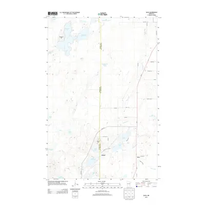
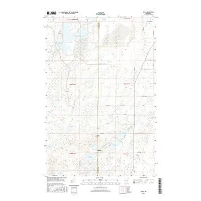
 1952 Silica1954 Print · USGSThe Mesabi Range borderlands in the early fifties show a landscape transition from industrial rail corridors to managed timberlands. Researchers can trace the legacy of the Duluth Missabe and Iron Range tracks, locate St Theresa Ch in Silica, and explore the wetlands around Sand Lake.4 unique versions available
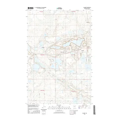
 - 1952 Map of Calumet, 1954 Print
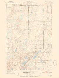
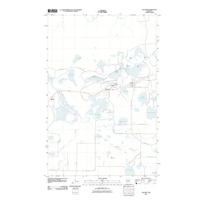
 1952 Calumet1954 Print · USGSThe Mesabi Iron Range dominates this mid-century landscape, showing the massive open-pit operations and mining towns of Itasca County at their industrial peak. Researchers can trace the extensive rail networks and dig sites like the Hill Annex Mine, Majorca Mine, and the settlement of Silverwood.2 unique versions available
 - 1952 Map of Pengilly, 1954 Print
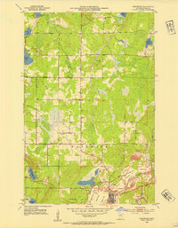
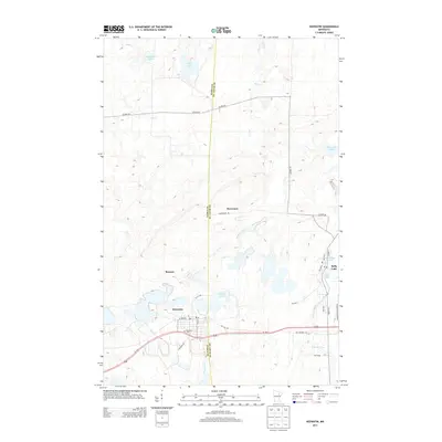
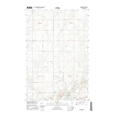
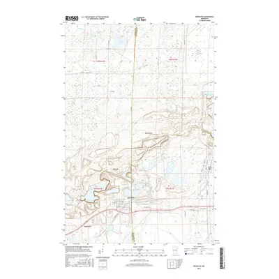
 1952 Pengilly1954 Print · USGSMid-century Itasca County is shaped here by the heavy industry of the Mesabi Range and the sprawling waters of Swan Lake. Genealogists and historians can trace the early layout of Nashwauk or locate specific operations like the Halobe Mine and Kevin Mine.4 unique versions available
 - 1954 Map of Hibbing, 1966 Print
 1954 Hibbing1966 Print · USGSNorthern Minnesota's Iron Range thrives during the mid-1960s, showing the industrial landscape between the Mesabi Range and the Mississippi River. Genealogists and historians can trace the rail lines of the Great Northern RR through mining hubs like Hibbing and Virginia.3 unique versions available
 - 1957 Map of Hibbing
 1957 Hibbing1957 Print · USGSNorthern Minnesota's Iron Range is shown at its industrial peak in the mid-fifties, dominated by the massive iron pits and rail corridors of the Mesabi Range. Researchers can trace the rail networks of the Duluth Missabe and Iron Range and locate mining hubs like Hibbing, Virginia, and Bovey.
 - 1958 Map of Hibbing
 1958 Hibbing1958 Print · USGSThe Mesabi Iron Range reached its mid-century height during this era, defining the landscape between Grand Rapids and Virginia. Genealogists and historians can trace the mining-town networks of Hibbing and Chisholm or locate numerous iron mines and rail spurs.
 - 1964 Map of Hibbing
 1964 Hibbing1964 Print · USGSNorthern Minnesota’s iron-rich corridor is captured here during a peak era of mid-century industrial activity. Researchers can trace the rail-to-mine connections through Mesabi Range towns like Hibbing and Virginia or locate lakefront settlements near Pokegama Lake.
 - 1992 Map of Pokegama Lake
 1992 Pokegama Lake1992 Print · USGSItasca County in the early nineties showcases the industrial pulse of the Iron Range and the vast waters of the north woods. Trace the rail lines of the Duluth Missabe and Iron Range Railway or locate old settlements like Wawina and Calumet.
 - 2010 Map of Keewatin, 2010 Print
 2010 Keewatin2010 Print · USGSCovers Nashwauk, including Hibbing, Keewatin, and other nearby areas
 - 2010 Map of Nashwauk, 2010 Print
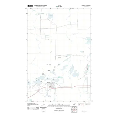
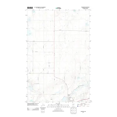
 2010 Nashwauk2010 Print · USGSCovers Nashwauk, including Parkview Mobile Home Court, Itasca County, and other nearby areas
 - 2010 Map of Silica, 2010 Print
 2010 Silica2010 Print · USGSCovers Nashwauk, including Hibbing, Silica, and other nearby areas
 - 2010 Map of Pengilly, 2010 Print
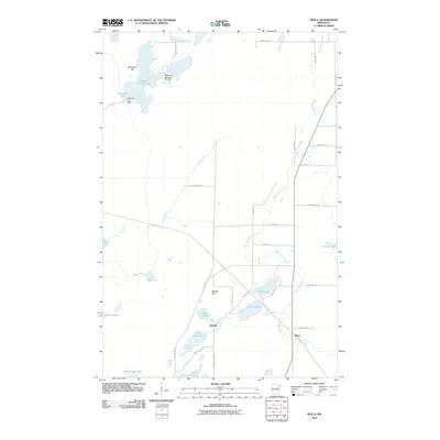
 2010 Pengilly2010 Print · USGSCovers Nashwauk, including Calumet, Cort, and other nearby areas
 - 2010 Map of Calumet, 2010 Print
 2010 Calumet2010 Print · USGSCovers Nashwauk, including Marble, Calumet, and other nearby areas
 - 2013 Map of Calumet, 2013 Print
 2013 Calumet2013 Print · USGSCovers Nashwauk, including Marble, Calumet, and other nearby areas
 - 2013 Map of Keewatin, 2013 Print
 2013 Keewatin2013 Print · USGSCovers Nashwauk, including Hibbing, Keewatin, and other nearby areas
 - 2013 Map of Pengilly, 2013 Print
 2013 Pengilly2013 Print · USGSCovers Nashwauk, including Calumet, Cort, and other nearby areas
 - 2013 Map of Nashwauk, 2013 Print
 2013 Nashwauk2013 Print · USGSCovers Nashwauk, including Parkview Mobile Home Court, Itasca County, and other nearby areas
 - 2013 Map of Silica, 2013 Print
 2013 Silica2013 Print · USGSCovers Nashwauk, including Hibbing, Silica, and other nearby areas
 - 2016 Map of Nashwauk, 2016 Print
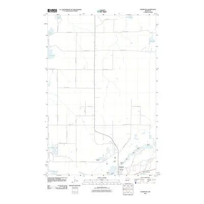
 2016 Nashwauk2016 Print · USGSCovers Nashwauk, including Parkview Mobile Home Court, Itasca County, and other nearby areas
 - 2016 Map of Calumet, 2016 Print
 2016 Calumet2016 Print · USGSCovers Nashwauk, including Marble, Calumet, and other nearby areas
 - 2016 Map of Keewatin, 2016 Print
 2016 Keewatin2016 Print · USGSCovers Nashwauk, including Hibbing, Keewatin, and other nearby areas
 - 2016 Map of Silica, 2016 Print
 2016 Silica2016 Print · USGSCovers Nashwauk, including Hibbing, Silica, and other nearby areas
Showing maps 1-25 of 36
Top cities near Nashwauk
- Hibbing historical maps
- Keewatin historical maps
- Marble historical maps
- Goodland historical maps
- Calumet historical maps
- Taconite historical maps
See more
Top neighborhoods of Nashwauk
Frequently asked questions
- What are the different types of historical maps available for Nashwauk?
- What is the oldest map of Nashwauk?
- Where can I purchase historical maps of Nashwauk for my home or office?
- Where can I download high-res historical maps of Nashwauk?
- Are there historical topographic maps available for Nashwauk?
- Is there historical aerial imagery available for Nashwauk?
- Where are historical maps of Nashwauk sourced from?