Old Maps of Warba, Minnesota
Explore 29 old maps of Warba, spanning from 1954 to today. These high-resolution historic maps reveal how streets, neighborhoods, landmarks, and natural features evolved over time — perfect for genealogy, metal detecting, research, and local history exploration.
What you can do with these maps:
- See how Warba changed over time: Compare historical maps to modern-day views to trace roads, homesites, rail lines & more.
- View detailed metadata: Each map includes creators, publishers, year, scale, and archive source.
- Overlay maps with satellite & LiDAR: Visualize the past alongside modern tools to explore terrain & human change.
- Trusted historical sources: Maps sourced from the USGS, Library of Congress, and other archives.
- Access maps your way: View online, download high-res files, or order prints for personal or research use.
Start exploring old maps of Warba to uncover forgotten places, hidden landmarks, and the deep history beneath your feet.
Warba, MN maps
(29)- 1954 Map of Hibbing, 1966 Print
 1954 Hibbing1966 Print · USGSNorthern Minnesota's Iron Range thrives during the mid-1960s, showing the industrial landscape between the Mesabi Range and the Mississippi River. Genealogists and historians can trace the rail lines of the Great Northern RR through mining hubs like Hibbing and Virginia.3 unique versions available
 - 1957 Map of Hibbing
 1957 Hibbing1957 Print · USGSNorthern Minnesota's Iron Range is shown at its industrial peak in the mid-fifties, dominated by the massive iron pits and rail corridors of the Mesabi Range. Researchers can trace the rail networks of the Duluth Missabe and Iron Range and locate mining hubs like Hibbing, Virginia, and Bovey.
 - 1958 Map of Hibbing
 1958 Hibbing1958 Print · USGSThe Mesabi Iron Range reached its mid-century height during this era, defining the landscape between Grand Rapids and Virginia. Genealogists and historians can trace the mining-town networks of Hibbing and Chisholm or locate numerous iron mines and rail spurs.
 - 1964 Map of Hibbing
 1964 Hibbing1964 Print · USGSNorthern Minnesota’s iron-rich corridor is captured here during a peak era of mid-century industrial activity. Researchers can trace the rail-to-mine connections through Mesabi Range towns like Hibbing and Virginia or locate lakefront settlements near Pokegama Lake.
 - 1969 Map of Goodland, 1972 Print
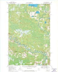
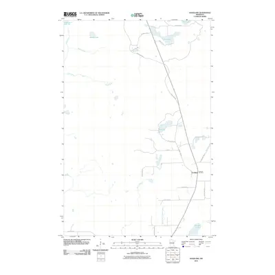
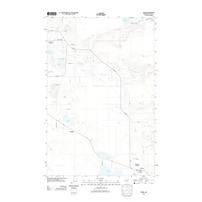
 1969 Goodland1972 Print · USGSItasca County's lake country is documented here in the late sixties, centered on the settlement of Goodland. Local historians can trace the development of the region's infrastructure, from the Landing Field and local Gravel Pit to the shores of Pancake Lake and Hart Lake.
 - 1970 Map of Warba, 1972 Print
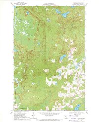
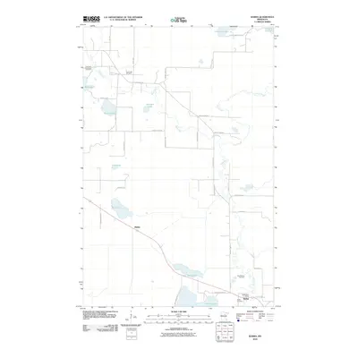
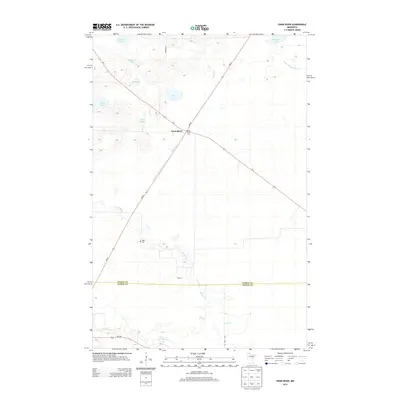
 1970 Warba1972 Print · USGSItasca County's marshlands and glacial lakes are captured here in the early seventies as the railroad and pipeline corridors dominated the landscape. Genealogists can locate family landmarks like Feeley Cem, Trout Lake Ch, and the rural community of Philbin.2 unique versions available
 - 1970 Map of Swan River, 1972 Print
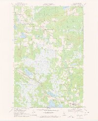
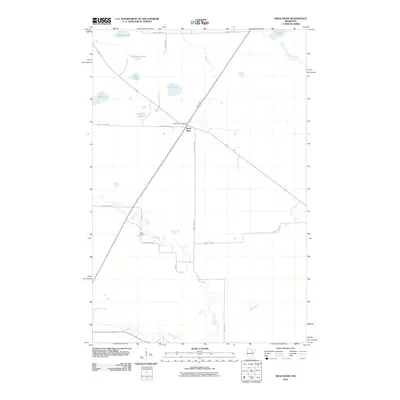
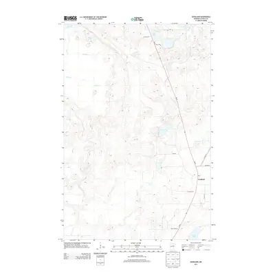
 1970 Swan River1972 Print · USGSSwan River and its surrounding wetlands are captured here in the early seventies at the crossroads of the Burlington Northern rail lines. Local historians can trace the community infrastructure at the Townhall and Sago Cem or locate the numerous Gravel Pits that supported the regional economy.
 - 1970 Map of Jacobson, 1972 Print
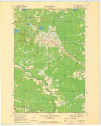
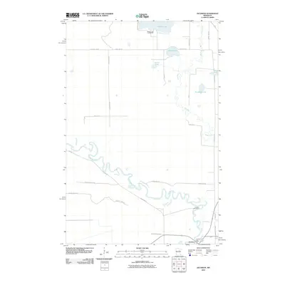
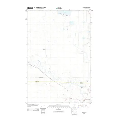
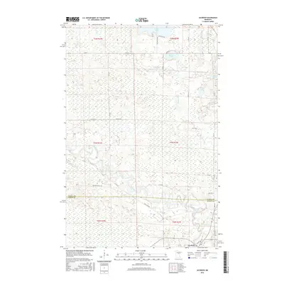
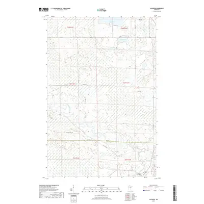
 1970 Jacobson1972 Print · USGSThe confluence of the Mississippi River and Swan River defines this northern wilderness during the early seventies. Local historians can trace the Old Railroad Grade and explore early sites near Jacobson and Shallow Lake.
 - 1992 Map of Pokegama Lake
 1992 Pokegama Lake1992 Print · USGSItasca County in the early nineties showcases the industrial pulse of the Iron Range and the vast waters of the north woods. Trace the rail lines of the Duluth Missabe and Iron Range Railway or locate old settlements like Wawina and Calumet.
 - 2010 Map of Jacobson, 2010 Print
 2010 Jacobson2010 Print · USGSCovers Warba, including Jacobson, Itasca County, and other nearby areas
 - 2010 Map of Goodland, 2010 Print
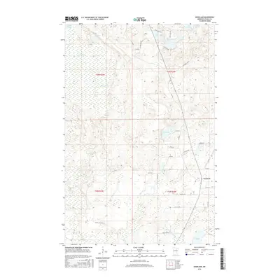
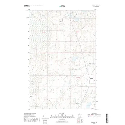
 2010 Goodland2010 Print · USGSCovers Warba, including Goodland, Itasca County, and other nearby areas
 - 2010 Map of Swan River, 2010 Print
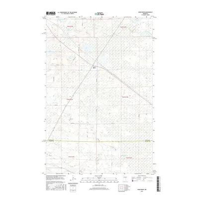
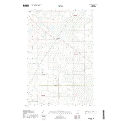
 2010 Swan River2010 Print · USGSCovers Warba, including Swan River, Itasca County, and other nearby areas
 - 2010 Map of Warba, 2010 Print
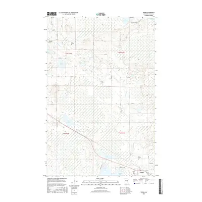
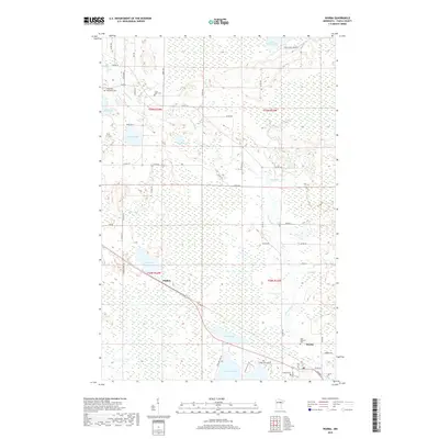
 2010 Warba2010 Print · USGSCovers Warba, including Philbin, Itasca County, and other nearby areas
 - 2013 Map of Swan River, 2013 Print
 2013 Swan River2013 Print · USGSCovers Warba, including Swan River, Itasca County, and other nearby areas
 - 2013 Map of Goodland, 2013 Print
 2013 Goodland2013 Print · USGSCovers Warba, including Goodland, Itasca County, and other nearby areas
 - 2013 Map of Warba, 2013 Print
 2013 Warba2013 Print · USGSCovers Warba, including Philbin, Itasca County, and other nearby areas
 - 2013 Map of Jacobson, 2013 Print
 2013 Jacobson2013 Print · USGSCovers Warba, including Jacobson, Itasca County, and other nearby areas
 - 2016 Map of Jacobson, 2016 Print
 2016 Jacobson2016 Print · USGSCovers Warba, including Jacobson, Itasca County, and other nearby areas
 - 2016 Map of Swan River, 2016 Print
 2016 Swan River2016 Print · USGSCovers Warba, including Swan River, Itasca County, and other nearby areas
 - 2016 Map of Goodland, 2016 Print
 2016 Goodland2016 Print · USGSCovers Warba, including Goodland, Itasca County, and other nearby areas
 - 2016 Map of Warba, 2016 Print
 2016 Warba2016 Print · USGSCovers Warba, including Philbin, Itasca County, and other nearby areas
 - 2019 Map of Jacobson, 2019 Print
 2019 Jacobson2019 Print · USGSCovers Warba, including Jacobson, Itasca County, and other nearby areas
 - 2019 Map of Goodland, 2019 Print
 2019 Goodland2019 Print · USGSCovers Warba, including Goodland, Itasca County, and other nearby areas
 - 2019 Map of Swan River, 2019 Print
 2019 Swan River2019 Print · USGSCovers Warba, including Swan River, Itasca County, and other nearby areas
 - 2019 Map of Warba, 2019 Print
 2019 Warba2019 Print · USGSCovers Warba, including Philbin, Itasca County, and other nearby areas
Showing maps 1-25 of 29
Top cities near Warba
- Hibbing historical maps
- Grand Rapids historical maps
- Coleraine historical maps
- Nashwauk historical maps
- Blackberry historical maps
- Marble historical maps
See more
Frequently asked questions
- What are the different types of historical maps available for Warba?
- What is the oldest map of Warba?
- Where can I purchase historical maps of Warba for my home or office?
- Where can I download high-res historical maps of Warba?
- Are there historical topographic maps available for Warba?
- Is there historical aerial imagery available for Warba?
- Where are historical maps of Warba sourced from?